Fishing Washington Salt Water
Puget Sound, Hood Canal, the San Juans, the Strait of Juan de Fuca and the outer coast, with marine area rules, piers and launches.
- 16marine areas
- 21named waters
 Pick for salmonPiscifun Viper X spinning reel50% OFFSale $39.99
Photo of Ilwaco: Upupa4me, CC BY-SA 2.0
From the Columbia bar to the South Sound inlets
Washington’s marine fishing runs from the open Pacific off Ilwaco, Westport and La Push, through the Strait of Juan de Fuca past Neah Bay and Sekiu, into the San Juan Islands and down Puget Sound and Hood Canal to the inlets around Olympia. WDFW splits it into 13 numbered marine areas, each with its own salmon, bottomfish and halibut rules.
This guide has 16 marine area pages and 21 pages for named regional waters such as Puget Sound, the Strait, Buoy 10 and the larger bays and passages. WDFW maps 61 shore sites and piers and 53 launches on salt water.
Anglers 16 and older fishing marine water carry a Saltwater license ($40.71 resident, $81.70 nonresident for 2026-27) or a Combination license, plus a catch record card for salmon, sturgeon, steelhead or halibut.
 For the salmon herePiscifun AlumiX spinning reel46% OFFSale $64.99
Washington marine areas, south to north and into the Sound
- Ilwaco (Marine Area 1)Pacific County
- Westport-Ocean Shores (Marine Area 2)Grays Harbor County
- Willapa Bay (Marine Area 2-1)Pacific County
- Grays Harbor (Marine Area 2-2)Grays Harbor County
- La Push (Marine Area 3)Jefferson County
- Neah Bay (Marine Area 4)Clallam County
- Sekiu and Pillar Point (Marine Area 5)Clallam County
- East Juan de Fuca Strait (Marine Area 6)Clallam County and 3 other counties
- San Juan Islands (Marine Area 7)San Juan County and 2 other counties
- Deception Pass, Hope Island, and Skagit Bay (Marine Area 8-1)Island County and 2 other counties
- Port Susan and Port Gardner (Marine Area 8-2)Snohomish and Island counties
- Admiralty Inlet (Marine Area 9)Jefferson County and 3 other counties
- Seattle-Bremerton (Marine Area 10)Kitsap and King counties
- Tacoma-Vashon Island (Marine Area 11)Pierce County and 2 other counties
- Hood Canal (Marine Area 12)Jefferson County and 2 other counties
- South Puget Sound (Marine Area 13)Thurston County and 2 other counties
WDFW recreational marine area boundaries (WAC 220-311-010) on geodataservices.wdfw.wa.gov, read October 31, 2026.
Bays, passages and broad waters with their own page
- Columbia River mouth (Buoy 10)Marine Area 1
- Outer coast (Pacific Ocean)Marine Area 1
- Strait of Juan de FucaMarine Area 6
- Bellingham BayMarine Area 7
- Rosario StraitMarine Area 7
- Deception PassMarine Area 8-1
- Port GardnerMarine Area 8-2
- Port SusanMarine Area 8-2
- Possession SoundMarine Area 8-2
- Saratoga PassageMarine Area 8-1
- Skagit BayMarine Area 8-1
- Puget SoundMarine Area 9
- Elliott BayMarine Area 10
- Sinclair InletMarine Area 10
- Colvos PassageMarine Area 11
- Commencement BayMarine Area 11
- Dabob BayMarine Area 12
- Budd InletMarine Area 13
- Carr InletMarine Area 13
- Case InletMarine Area 13
- Nisqually ReachMarine Area 13
USGS GNIS named features; marine area from the WDFW boundary layer.
NOAA water level stations on Washington salt water
NOAA CO-OPS water level, preliminary reading at retrieval (October 31, 2026); station page for live data.
Marinas and artificial reefs from NOAA shoreline mapping
NOAA’s Environmental Sensitivity Index for Washington, a 2003 to 2006 record, lists 111 marinas and 10 artificial reefs on these waters. They are shown on the marine area pages with that date; facilities may have changed since.
- Onamac PointMarine Area 8-1
- Gedney IslandMarine Area 8-2
- Possession PointMarine Area 9
- The Trees (Boeing Creek)Marine Area 10
- Misery PointMarine Area 12
- West SeattleMarine Area 10
- Blake IslandMarine Area 10
- Point HeyerMarine Area 11
- Toliva ShoalMarine Area 13
- Itsami LedgeMarine Area 13
Washington saltwater directories
- Shore fishing and piers61 sites on salt water
- Boat ramps53 launches on salt water
- Guides and charters34 in counties on salt water
- Marine area ruleslimits by area
- Port towns named in marine area titles: Ilwaco, Westport, Ocean Shores, La Push, Neah Bay, Sekiu, Seattle, Bremerton, TacomaUSGS GNIS
Photographs that go with Fishing Washington Salt Water

Photo: Cody Logan, CC BY-SA 2.0
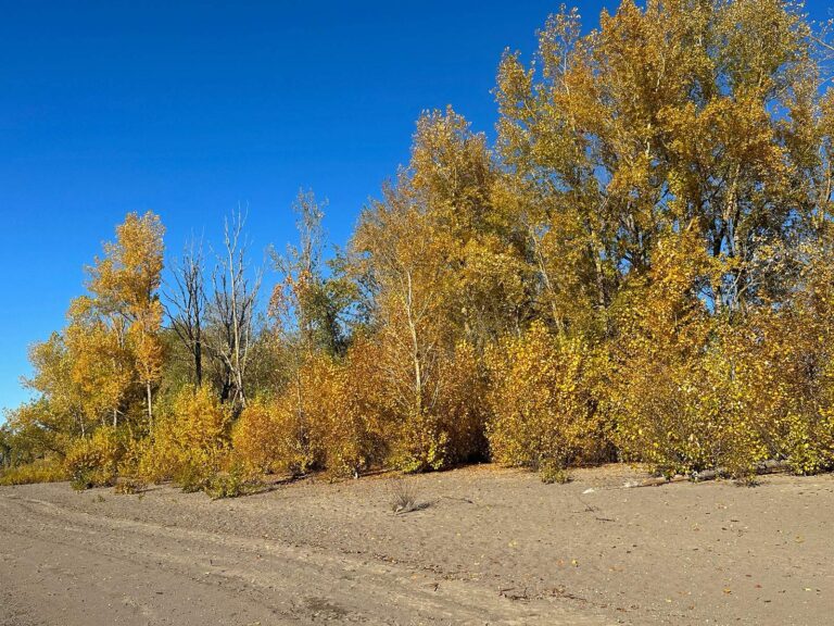
Photo: Jeff Hollett, CC0 1.0

Photo: Jett Brooks, CC BY 2.0
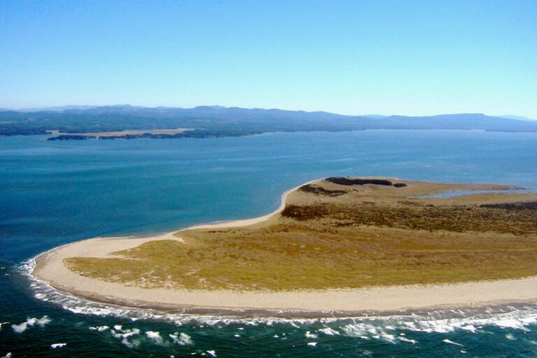
Photo: Sam Beebe, CC BY 2.0
Washington saltwater fishing, cleared up
How many marine areas does Washington have?
13 numbered areas, with Areas 2 and 8 split into lettered parts; 16 have pages here.
Does Washington salt water call for its own license?
Anglers 16 and older fishing marine water carry a Saltwater license ($40.71 resident, $81.70 nonresident for 2026-27) or a Combination license, plus a catch record card for salmon, sturgeon, steelhead or halibut.
Can I keep rockfish in Puget Sound?
It is unlawful to fish for, retain, or possess rockfish in Areas 6-13.
Is yelloweye rockfish open anywhere?
No; the pamphlet makes yelloweye rockfish unlawful to fish for or keep in every marine area in 2026.
Where is Buoy 10?
At the mouth of the Columbia River; its fishery runs upstream from a line through Buoy 10 and has its own page.
Are barbless hooks required in salt water?
Barbless Hooks – are required for all species in Marine Areas 5-13, except forage fish jig gear. When fishing for salmon in Areas 1-13, single-point barbless hooks must be used.
How old are the marina and reef records?
They come from NOAA shoreline mapping of 2003 to 2006, so check a marina before relying on it.
Who runs charters on the coast?
The guides page lists 34 businesses in counties on salt water.