East Juan de Fuca Strait Fishing, Marine Area 6
WDFW Marine Area 6 on the Washington coast and Salish Sea, touching Clallam County and 3 other counties.
 Pick for troutPiscifun Carbon X ultralight spinning reel28% OFFSale $57.99
Photo of Saratoga Passage: hj_west, CC BY-SA 2.0
Getting to know East Juan de Fuca Strait
Salmon and bottomfish seasons on East Juan de Fuca Strait follow its Marine Area 6 rows; WAC 220-311-010 sets the lines off Clallam County and 3 other counties. Port Angeles East is the nearest town, about 7 miles off.
It has 4 saltwater launches in the access layers. WDFW maps 3 piers and shore sites for fishing from land. It holds 9 named fishing areas on the WDFW map. WDFW lists 30 marine rule rows covering it. NOAA keeps 11 NOAA tide stations in range.
WDFW recreational marine area layer (WAC 220-311-010) on geodataservices.wdfw.wa.gov, USGS GNIS names, WDFW and State Parks launch layers, WDFW shore fishing layer; retrieved October 31, 2026.
The legal edges of East Juan de Fuca Strait
- Defined(8)(b): … a line projected from West Point on Whidbey Island to Reservation Head on Fidalgo Island …
- Defined(6): … the Lawson Reef lighted buoys (RB1 QK Fl Bell) – Northwest Island – the Initiative 77 marker on Fidalgo Island.
- Defined(6): … Smith Island [light] – the most northeasterly of the Lawson Reef lighted buoys …
- Defined(6): … Rosario Strait Traffic Lane Entrance Lighted Buoy R – Smith Island [light] …
- Defined(5): … Low Point, mouth of the Lyre River.
- Defined(6): … the Partridge Point-Point Wilson line …
Lights that fix the lines of East Juan de Fuca Strait
- Initiative 77 markerMarker White stripe painted on cliff
- Lawson Reef LightLight RG Fl (2+1) R 6s Bell
- Light RLight Fl Y 4s
- Pt. Partridge LightLight Fl 5s
- Pt. Wilson LightLighthouse AI RW 5s
- Smith I. LightLight Fl 10s
- West Pt.Point NW Whidbey Island
- Reservation HeadPoint
- Low Pt.Point (Approx. 123.8267° W)
WAC 220-311-010 boundary text as published in the WDFW marine area layer; NOAA light list positions; retrieved October 31, 2026.
Species with a source on East Juan de Fuca Strait
Species with a source on East Juan de Fuca Strait.
2026-27 WDFW pamphlet marine area rows and WDFW sport fish records; retrieved October 31, 2026.
 For the trout herePiscifun Carbon XT ultralight spinning reel25% OFFSale $59.99
WDFW fishing areas inside East Juan de Fuca Strait
- 31 – 36 BankBoat Access Only
- Dallas BankBoat Access Only
- Diamond PointBoat Access Only
- Dungeness BankBoat Access Only
- Dungeness SpitBoat Access Only
- Ediz Hook/The HumpsBoat Access Only
- Green PointBoat Access Only
- Hein BankBoat Access Only
- Tongue Pt. to Freshwater BayBoat Access Only
WDFW Major Fishing Areas layer on geodataservices.wdfw.wa.gov (names and access notes as published); retrieved October 31, 2026.
Marine ramps serving East Juan de Fuca Strait
- Gardiner boat launch1 ramp, concrete surface, Discover Pass, Port of Port Townsend
- Deception Pass, Bowman Bay boat launchboat ramp, Washington State Parks and Recreation Commission
- Deception Pass, Rosario beach boat launchboat ramp, Washington State Parks and Recreation Commission
- Sequim Bay boat launchboat ramp, Washington State Parks and Recreation Commission
WDFW Water Access Sites and Shore Fishing Sites layers (geodataservices.wdfw.wa.gov) and the Washington State Parks boat launch layer, retrieved October 31, 2026. Parking at WDFW and State Parks launches needs a Discover Pass.
Piers and shore spots on East Juan de Fuca Strait
- Port Angeles City Pierfishing pier, Marine Area 6
- Bowman's Bay Pier on Deception Passfishing pier, Marine Area 6
- John Wayne Marinafishing pier, Marine Area 6
WDFW piers and shore fishing layers, retrieved October 31, 2026.
Smaller named water within East Juan de Fuca Strait
- Agate Baybay Clallam County
- Bowman Baybay Skagit County
- Crescent Baybay Clallam County
- Discovery Baybay Jefferson County
- Dungeness Baybay Clallam County
- Freshwater Baybay Clallam County
- Northwest Passpassage/strait Island County
- Paradise Covecove Clallam County
- Port Angeles Harborharbor Clallam County
- Sequim Baybay Clallam County
- Sharpe Covecove Skagit County
- The Lagoonlagoon Clallam County
USGS GNIS names inside the WDFW marine area polygon; retrieved October 31, 2026.
Reading the tide on East Juan de Fuca Strait
NOAA CO-OPS water level, preliminary reading at retrieval (October 31, 2026); station page for live data.
- Crescent Baytide predictions, 20 miles
- Port Angelestide predictions, 9 miles
- Ediz Hook, Port Angelestide predictions, 7 miles
- Dungenesstide predictions, 9 miles
- Sequim Bay Entrancetide predictions, 14 miles
- Gardiner, Discovery Baytide predictions, 20 miles
Current on East Juan de Fuca Strait follows the tide table closely, so plan crossings and drifts around it.
NOAA CO-OPS water level and tide prediction stations inside or beside the marine area; retrieved October 31, 2026.
Where boats moor near East Juan de Fuca Strait
- Port Angeles Municipal Parkmarina 360/457-0411
- Port Of Port Angeles Boat Havenmarina 360/457-8527
- John Wayne Marinamarina 360/457-8527
- Sequim Bay State Parkmarina 360/902-8500
NOAA Environmental Sensitivity Index atlas records (2003 to 2006); facility and reef details reflect the source year, not today. Retrieved october 31, 2026.
Marine rules for East Juan de Fuca Strait
| Species and location | Daily limit and size | Season |
|---|---|---|
| Trout | Catch-and-release. | Year-round |
| Steelhead | Daily limit 2 hatchery steelhead. | Year-round |
| Sturgeon | Catch-and-release. | Year-round |
| Mackerel | No min. size. No daily limit. | Year-round |
| Herring, Anchovy, Sardine, Sand Lance, and Smelt | No min. size. Daily limit 10 lbs., all species combined. All smelt caught must be kept and count toward the daily limit except Closed to eulachon (Columbia River smelt). For smelt: Jig gear may be used 7 days a week. Dip | Apr. 16-Jan. 15 |
| Herring, Anchovy, Sardine, Sand Lance, and Smelt | No min. size. Daily limit 10 lbs., all species combined. All smelt caught must be kept and count toward the daily limit except Closed to eulachon (Columbia River smelt). Herring – CLOSED south of a line from Ediz Hook to | Jan. 16-Apr. 15 |
| Pacific Halibut | Check the WDFW website at https://wdfw.wa.gov/fishing/regulations/halibut or call (360) 902-2700 in March for information on Pacific halibut seasons and regulations. No min. size. Daily limit 1. Annual limit 6. Descendin | see the pamphlet |
| Other Food Fish | No min. size. Daily limit 2 of each species. See definition. | Year-round |
| All Other Fish | CLOSED to fishing for, retaining, or possessing. | CLOSED |
| Salmon (Chinook Selective Fishery West of a true north/south line through the #2 Buoy immediately east of Ediz | Chinook – min. size 22”. Other salmon species – no min. size. Daily limit 2. Release chum, sockeye, wild coho, and wild Chinook. | July 1-Aug. 15 |
| Salmon (Chinook Selective Fishery West of a true north/south line through the #2 Buoy immediately east of Ediz | No min. size. Daily limit 2. Release Chinook, chum, sockeye, and wild coho. | Aug. 16-Sept. 24 |
| Salmon (Chinook Selective Fishery West of a true north/south line through the #2 Buoy immediately east of Ediz | No min. size. Daily limit 2. Release Chinook, sockeye, and chum. | Sept. 25-Oct. 15 |
| Salmon (Freshwater Bay) | CLOSED. | Year-round |
| Salmon (Port Angeles Harbor and Discovery Bay) | CLOSED. | July 1-Aug. 15 |
| Salmon (Port Angeles Harbor and Discovery Bay) | No min. size. Daily limit 2. Release Chinook, chum, sockeye, and wild coho. | Aug. 16-Sept. 24 |
| Salmon (Port Angeles Harbor and Discovery Bay) | No min. size. Daily limit 2. Release Chinook, sockeye, and chum. | Sept. 25-Oct. 15 |
| Salmon (Snow and Salmon Creek Mouth Area) | CLOSED. | Year-round |
| Salmon (Chinook Release Area East of a true north/south line through the #2 Buoy immediately east of Ediz Hook | No min. size. Daily limit 2. Release Chinook, chum, sockeye, and wild coho. | July 1-Sept. 24 |
| Salmon (Chinook Release Area East of a true north/south line through the #2 Buoy immediately east of Ediz Hook | No min. size. Daily limit 2. Release Chinook, sockeye, and chum. | Sept. 25-Oct. 15 |
| Salmon (Dungeness Bay Fishery) | CLOSED. | July 1-Sept. 30 |
| Salmon (Dungeness Bay Fishery) | No min. size. Daily limit 2 hatchery coho only. Release all other salmon. | Oct. 1-Oct. 31 |
| Bottomfish | Year-round season. Daily limit is a total of 15 bottomfish (See definition) subject to individual limits and seasons shown below. See Bottomfish Closure: west of the easternmost point of Dungeness Spit (48°11.45'N, 123°0 | see the pamphlet |
| Lingcod | Hook and line season. Min. size 26”. Max. size 36”. Daily limit 1. | May 1-June 15 |
| Lingcod | Spearfishing season. Max. size 36”. Daily limit 1. | May 21-June 15 |
There are 30 rows for Marine Area 6; open the pamphlet for all of them.
Anglers 16 and older fishing marine water carry a Saltwater license ($40.71 resident, $81.70 nonresident for 2026-27) or a Combination license, plus a catch record card for salmon, sturgeon, steelhead or halibut.
Limits and seasons as printed in the 2026-2027 Washington Sport Fishing Rules (WDFW pamphlet, in effect July 1, 2026 to June 30, 2027), PDF page 120 (pamphlet PDF; eRegulations marine area page), read October 31, 2026.
Neighbouring marine water set beside East Juan de Fuca Strait
| Water | Distance | Marine area | Launches | Piers and shore sites | Tide stations |
|---|---|---|---|---|---|
| East Juan de Fuca Strait | Marine Area 6 | 4 | 3 | 11 | |
| Deception Pass, Hope Island, and Skagit Bay (Marine Area 8-1) | 31 miles | Marine Area 8-1 | 5 | 5 | 10 |
| Saratoga Passage | 34 miles | Marine Area 8-1 | 0 | 3 | 7 |
| Deception Pass | 34 miles | Marine Area 8-1 | 3 | 3 | 15 |
| Admiralty Inlet (Marine Area 9) | 34 miles | Marine Area 9 | 5 | 4 | 10 |
| Rosario Strait | 36 miles | Marine Area 7 | 1 | 1 | 11 |
WDFW marine areas and access layers, NOAA stations; retrieved October 31, 2026.
A few miles from East Juan de Fuca Strait
Neighbouring water to East Juan de Fuca Strait
- Deception Pass, Hope Island, and Skagit Bay (Marine Area 8-1)31 miles
- Saratoga Passage34 miles
- Deception Pass34 miles
- Admiralty Inlet (Marine Area 9)34 miles
- Rosario Strait36 miles
The country around East Juan de Fuca Strait
- Lake Sutherland21 miles
- Anderson Lake26 miles
- Lake Crescent27 miles
- Crocker Lake27 miles
- Dungeness River9 miles
- Elwha River21 miles
- Gray Wolf River22 miles
- Lyre River25 miles
Tackle and bait counters serving East Juan de Fuca Strait
- Sportsman's Warehouse Sequimsporting goods store, Sequim, 12 miles
- Main Ax Custom Fishing Rodsbait and tackle shop, Clallam Bay
- Armstrong Marine, Inc.marina, Port Angeles
- Jerry's Bait & Tackle Shopbait and tackle shop, Port Angeles
- Platypus Marine Incmarina, Port Angeles
- Waters West Fly Fishingfly shop, Port Angeles
Paid fishing guides around East Juan de Fuca Strait
- All Ways Fishingcharter, Forks, (360) 374-2052
- Anadromy Fly Fishingcharter, Forks, (360) 460-3500
- Angler's Obsessioncharter, Forks, (360) 485-3181
- Excel Fishing Charterscharter, Sekiu, (360) 374-2225
- Northwest Fishing Newsfishing guide, Port Ludlow, (206) 450-7947
- Caleb Hitzfeld Fly Fishingfly fishing guide, Forks, (360) 640-8513
Where to book a room for East Juan de Fuca Strait
- Port Angeles East7 miles
- Port Angeles9 miles
- Carlsborg10 miles
- Sequim13 miles
County guides for East Juan de Fuca Strait
- Clallam Countyseat: Port Angeles
- Skagit Countyseat: Mount Vernon
- Jefferson Countyseat: Port Townsend
- Island Countyseat: Coupeville
Piscifun gear a Cascades angler could bring to East Juan de Fuca Strait


Piscifun and Amazon links are affiliate links; the site earns a commission on qualifying purchases.
The shoreline country around East Juan de Fuca Strait, in pictures
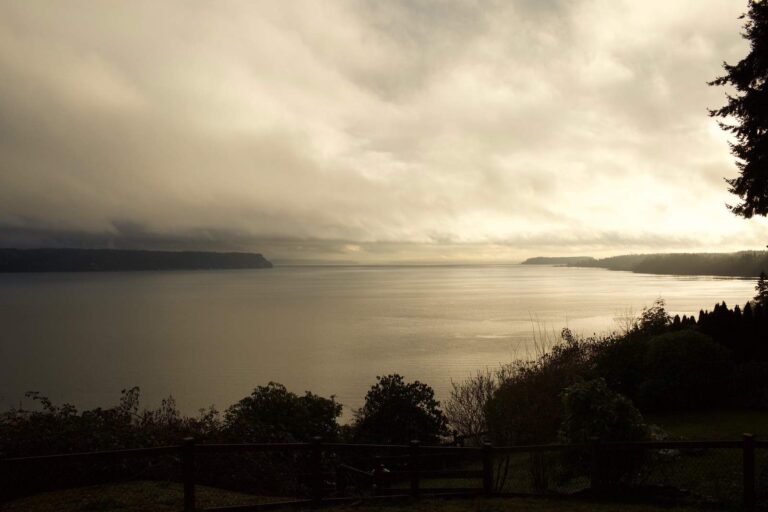
Photo: hj_west, CC BY-SA 2.0
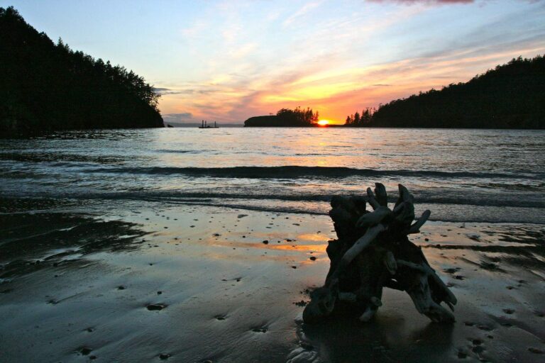
Photo: Rain Rannu, CC BY 2.0

Photo: Jonathan Miske, CC BY-SA 2.0
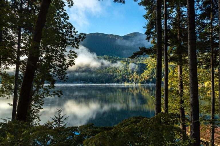
Photo: Sheila Sund, CC BY 2.0
What people planning East Juan de Fuca Strait want to know
What marine area number applies to East Juan de Fuca Strait?
Look up Marine Area 6 in the pamphlet.
What salmon rules apply on East Juan de Fuca Strait?
The first salmon row for Marine Area 6: Chinook – min. size 22”. Other salmon species – no min. size. Daily limit 2. Release chum, sockeye, wild coho, and wild Chinook. (July 1-Aug. 15). Emergency rules can change it.
What size lingcod is legal on East Juan de Fuca Strait?
Lingcod on East Juan de Fuca Strait: Hook and line season. Min. size 26”. Max. size 36”. Daily limit 1.; May 1-June 15.
Which listed saltwater launch is the way onto East Juan de Fuca Strait?
Try Gardiner boat launch, one of 4 launches.
Does WDFW list a public pier on East Juan de Fuca Strait?
Try Port Angeles City Pier, one of 3 piers and shore sites.
Is a catch record card needed on East Juan de Fuca Strait?
Anglers 16 and older fishing marine water carry a Saltwater license ($40.71 resident, $81.70 nonresident for 2026-27) or a Combination license, plus a catch record card for salmon, sturgeon, steelhead or halibut.
When is slack water on East Juan de Fuca Strait?
Check Crescent Bay; the tide band links it.
Is there a shop near East Juan de Fuca Strait?
Sportsman's Warehouse Sequim, about 12 miles away is first on our list.
What spots does WDFW chart on East Juan de Fuca Strait?
Try 31 – 36 Bank, Dallas Bank and Diamond Point of the 9 named fishing areas.
Head for East Juan de Fuca Strait on the next opener
Saltwater fees, catch record cards and marine area rows are on the license page.