Washington Water Levels
Live USGS lake gauges, dated Columbia and Snake forebay readings and NOAA tide stations for Washington.
 Pick for salmonPiscifun Viper X spinning reel50% OFFSale $39.99
Photo of Rufus Woods Lake: Jan Helebrant, CC0 1.0
USGS lake and reservoir gauges in Washington, updated through the day
| Lake | Level | Reading | Source |
|---|---|---|---|
| Wynoochee Lake | 730.40 ft | Nov 1, 2026 | USGS 12035380 |
| Lake Quinault Nr Old Wa 9 Rd Nr Quinault, Wa | 185.13 ft | Nov 1, 2026 | USGS 12039490 |
| Mud Mountain Lake Near Buckley, Wa | 915.90 ft | Nov 1, 2026 | USGS 12098000 |
| Lake Tapps | 539.00 ft | Nov 1, 2026 | USGS 12101000 |
| Howard A Hanson Reservoir Near Palmer, Wa | 1,114.68 ft | Nov 1, 2026 | USGS 12105800 |
| Chester Morse Lake At Cedar Falls, Wa | 1,542.10 ft | Nov 1, 2026 | USGS 12115900 (gage height) |
| Cedar Lake (Masonry Pool) Near Cedar Falls, Wa | 1,517.33 ft | Nov 1, 2026 | USGS 12116060 (gage height) |
| Lake Sammamish | 26.01 ft | Nov 1, 2026 | USGS 12122000 |
| Spada Lake | 1,399.16 ft | Nov 1, 2026 | USGS 12137300 |
| South Fork Tolt Reservoir Near Carnation, Wa | 1,717.94 ft | Nov 1, 2026 | USGS 12147900 |
| Ross Lake | 1,569.84 ft | Nov 1, 2026 | USGS 12175000 (gage height) |
| Diablo Lake | 1,202.02 ft | Nov 1, 2026 | USGS 12176500 (gage height) |
| Gorge Lake | 872.30 ft | Nov 1, 2026 | USGS 12177700 (gage height) |
| Baker Lake | 711.40 ft | Nov 1, 2026 | USGS 12191600 |
| Lake Shannon | 409.30 ft | Nov 1, 2026 | USGS 12193000 |
| Boundary Reservoir At Forebay Nr Metaline Falls | n/a | ||
| Lake Roosevelt | 1,285.87 ft | Oct 15, 2026 | USGS 12436000 |
| Osoyoos Lake | 911.12 ft | Nov 1, 2026 | USGS 12439000 |
| Conconully Lake | 2,298.19 ft | Nov 1, 2026 | USGS 12446300 |
| Conconcully Reservoir Near Omak, Wa | 2,251.40 ft | Nov 1, 2026 | USGS 12446480 |
| Lake Chelan | 1,093.03 ft | Nov 1, 2026 | USGS 12451200 |
| Lake Chelan | 1,093.26 ft | Nov 1, 2026 | USGS 12452000 |
| Rock Island Pool | 611.76 ft | Oct 15, 2026 | USGS 12462550 |
| Lake Lenore | 1,076.62 ft | Nov 1, 2026 | USGS 12469500 |
| Soap Lk Near Soap Lk, Wa | 1,068.33 ft | Nov 1, 2026 | USGS 12470000 |
| Moses Lake | 1,046.73 ft | Nov 1, 2026 | USGS 12471000 |
| Bennington Lake | 1,194.54 ft | Nov 1, 2026 | USGS 14013800 |
| Swift Reservoir | 951.00 ft | Nov 1, 2026 | USGS 14217599 |
| Yale Reservoir | 473.00 ft | Nov 1, 2026 | USGS 14218480 |
| Lake Merwin | 225.00 ft | Nov 1, 2026 | USGS 14219950 |
| Spirit Lake At Tunnel At Spirit Lake, Wa | n/a | ||
| Spirit Lake West At Spirit Lake, Wa | 3,441.47 ft | Nov 1, 2026 | USGS 14240306 |
| Castle Lake | 2,577.97 ft | Nov 1, 2026 | USGS 14240446 |
USGS provisional lake and reservoir data, refreshed hourly by the site.
Columbia and Snake dam forebay readings, dated
| Dam or pool | County | Forebay elevation | Reading for |
|---|---|---|---|
| Grand Coulee Dam | Okanogan County | 1,288.4 ft | October 31, 2026 |
| Chief Joseph Dam | Douglas County | 953.4 ft | October 31, 2026 |
| Wells Dam | Chelan County | 779.45 ft | October 31, 2026 |
| Rocky Reach Dam | Chelan County | 705.93 ft | October 31, 2026 |
| Rock Island Dam | Chelan County | 612.11 ft | October 31, 2026 |
| Wanapum Dam | Kittitas County | 569.1 ft | October 31, 2026 |
| Priest Rapids Dam | Grant County | 483.96 ft | October 31, 2026 |
| McNary Lock and Dam | 339.13 ft | October 31, 2026 | |
| John Day Lock and Dam | Klickitat County | 265.82 ft | October 31, 2026 |
| The Dalles Lock and Dam | 159.2 ft | October 31, 2026 | |
| Bonneville Lock and Dam | Skamania County | 76 ft | October 31, 2026 |
| Ice Harbor Lock and Dam | Walla Walla County | 438.46 ft | October 31, 2026 |
| Lower Monumental Lock and Dam | Franklin County | 538.44 ft | October 31, 2026 |
| Little Goose Lock and Dam | Columbia County | 636.98 ft | October 31, 2026 |
| Lower Granite Lock and Dam | Whitman County | 736.63 ft | October 31, 2026 |
| Mud Mountain Dam nr Buckley WA | King County | 916.09 ft | October 31, 2026 |
| HOWARD A HANSON DAM | King County | 1,116.05 ft | October 31, 2026 |
| Bumping Dam & Lk on Bumping R | Yakima County | 3,395.35 ft | October 31, 2026 |
| Cle Elum Dam & Lk on Cle Elum | Kittitas County | 2,121.43 ft | October 31, 2026 |
| Clear Cr Dam & Lk on NF Tieton | Yakima County | 3,011.39 ft | October 31, 2026 |
| Chelan Dam | Chelan County | 1,093.44 ft | October 31, 2026 |
| Mayfield Dam | Lewis County | 421.84 ft | October 31, 2026 |
| Mossyrock Dam | Lewis County | 692.87 ft | October 31, 2026 |
| Ross Reservoir nr Newhalem | Whatcom County | 1,570.35 ft | October 31, 2026 |
| Diablo Reservoir nr Newhalem 6NE | Whatcom County | 1,140.75 ft | October 31, 2026 |
| Lower Baker Dam | Skagit County | 756.47 ft | October 31, 2026 |
| Baker Lk @ Upr Baker Dm nr Conct | Whatcom County | 1,344.98 ft | October 31, 2026 |
| Wynoochee Dam | Grays Harbor County | 730.4 ft | October 31, 2026 |
| Box Canyon Dam | Pend Oreille County | 2,030.71 ft | October 30, 2026 |
| Banks Lake nr Grand Coulee | 68.36 ft | October 30, 2026 | |
| Lake Washington Ship Canal | King County | 20.48 ft | October 31, 2026 |
USACE Northwestern Division water management data, provisional readings retrieved October 31, 2026; dated readings, not live; the series datum is not stated.
NOAA water level stations on Washington salt water, dated
| Station | Marine area or county | Water level | Datum | Reading for |
|---|---|---|---|---|
| Vancouver | Clark County | 0.74 ft | MLLW | October 31, 2026 |
| TEMCO Kalama Terminal | Cowlitz County | 1.03 ft | MLLW | October 31, 2026 |
| Longview | Cowlitz County | 1.07 ft | MLLW | October 31, 2026 |
| Skamokawa | Wahkiakum County | 3.41 ft | MLLW | October 31, 2026 |
| Cape Disappointment | Marine Area 1 | 6.34 ft | MLLW | October 31, 2026 |
| Toke Point | Marine Area 2-1 | 6.49 ft | MLLW | October 31, 2026 |
| Westport | Marine Area 2-2 | 7.13 ft | MLLW | October 31, 2026 |
| La Push, Quillayute River | Marine Area 3 | 7.11 ft | MLLW | October 31, 2026 |
| Neah Bay | Marine Area 4 | 6.66 ft | MLLW | October 31, 2026 |
| Port Angeles | Marine Area 6 | 7.01 ft | MLLW | October 31, 2026 |
| Port Townsend | Marine Area 9 | 8.05 ft | MLLW | October 31, 2026 |
| Bremerton | Marine Area 10 | 10.48 ft | MLLW | October 31, 2026 |
| Tacoma | Marine Area 11 | 10.35 ft | MLLW | October 31, 2026 |
| Seattle | Marine Area 10 | 10.14 ft | MLLW | October 31, 2026 |
| Cherry Point | Marine Area 7 | 9.24 ft | MLLW | October 31, 2026 |
| Friday Harbor | Marine Area 7 | 8.32 ft | MLLW | October 31, 2026 |
NOAA CO-OPS preliminary water levels at retrieval; each marine page links its nearest station.
Lake pages in Washington carrying a gauge or forebay figure
- Baker Lake2 gauges or forebay readings
- Banks Lake1 gauge or forebay reading
- Bennington Lake1 gauge or forebay reading
- Bumping Lake1 gauge or forebay reading
- Castle Lake1 gauge or forebay reading
- Cle Elum Lake1 gauge or forebay reading
- Conconully Lake1 gauge or forebay reading
- Diablo Lake2 gauges or forebay readings
- Gorge Lake1 gauge or forebay reading
- Lake Bonneville1 gauge or forebay reading
- Lake Celilo1 gauge or forebay reading
- Lake Chelan3 gauges or forebay readings
- Lake Entiat1 gauge or forebay reading
- Lake Herbert G. West1 gauge or forebay reading
- Lake Lenore1 gauge or forebay reading
- Lake Merwin1 gauge or forebay reading
- Lake Pateros1 gauge or forebay reading
- Lake Roosevelt2 gauges or forebay readings
- Lake Sammamish1 gauge or forebay reading
- Lake Shannon2 gauges or forebay readings
- Lake Tapps1 gauge or forebay reading
- Lake Umatilla1 gauge or forebay reading
- Lake Wallula1 gauge or forebay reading
- Lake Washington1 gauge or forebay reading
- Mayfield Lake1 gauge or forebay reading
- Moses Lake1 gauge or forebay reading
- Osoyoos Lake1 gauge or forebay reading
- Priest Rapids Lake1 gauge or forebay reading
- Riffe Lake1 gauge or forebay reading
- Rock Island Pool2 gauges or forebay readings
- Ross Lake2 gauges or forebay readings
- Rufus Woods Lake1 gauge or forebay reading
- Spada Lake1 gauge or forebay reading
- Swift Reservoir1 gauge or forebay reading
- Wanapum Lake1 gauge or forebay reading
- Wynoochee Lake2 gauges or forebay readings
- Yale Reservoir1 gauge or forebay reading
Rivers have their own feeds: 309 active USGS stream gauges supply the flow box on Washington river pages.
Photographs that go with Washington Water Levels

Photo: Jeff Hollett, CC0 1.0
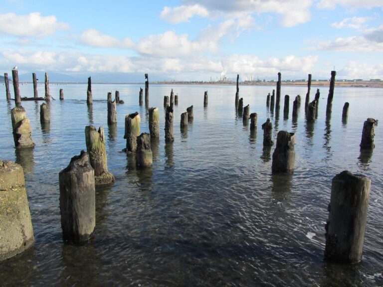
Photo: JOHN LLOYD, CC BY 2.0
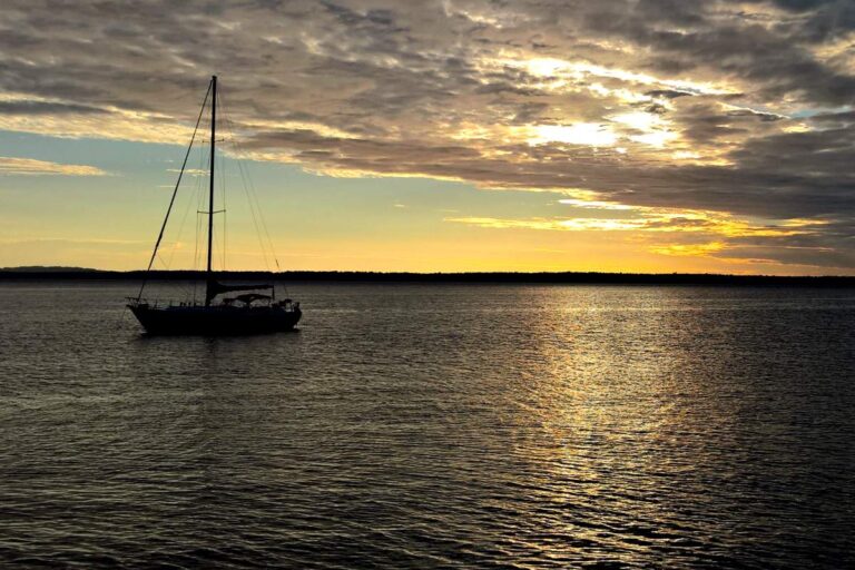
Photo: l.madhavan, CC BY 2.0
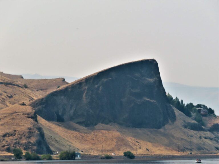
Photo: David Wilson, CC BY 2.0
 For the salmon herePiscifun AlumiX spinning reel46% OFFSale $64.99
Water level questions from Washington boaters
How many live USGS lake feeds does this Washington page carry?
33 USGS lake and reservoir gauges feed the live table above.
Why are the Corps readings dated?
They come from the Northwestern Division data service with the time of the reading and are not refreshed live on this site.
Which dams are listed?
Grand Coulee Dam, Chief Joseph Dam, Wells Dam, Rocky Reach Dam, Rock Island Dam, Wanapum Dam, Priest Rapids Dam, McNary Lock and Dam, John Day Lock and Dam, The Dalles Lock and Dam, Bonneville Lock and Dam, Ice Harbor Lock and Dam, Lower Monumental Lock and Dam, Little Goose Lock and Dam, Lower Granite Lock and Dam, Mud Mountain Dam nr Buckley WA, HOWARD A HANSON DAM, Bumping Dam & Lk on Bumping R, Cle Elum Dam & Lk on Cle Elum, Clear Cr Dam & Lk on NF Tieton, Chelan Dam, Mayfield Dam, Mossyrock Dam, Ross Reservoir nr Newhalem, Diablo Reservoir nr Newhalem 6NE, Lower Baker Dam, Baker Lk @ Upr Baker Dm nr Conct, Wynoochee Dam, Box Canyon Dam, Banks Lake nr Grand Coulee and Lake Washington Ship Canal.
What datum do the tide stations use?
Feet above mean lower low water (MLLW), as NOAA reports them.
Where are river flows?
On each river page with a USGS gauge, as discharge and gauge height.
Why is Bureau of Reclamation data missing?
Its Hydromet pages refuse automated reading, so Reclamation reservoirs show only where USGS or the Corps also report them.
How soon before a trip should I check?
The same day; Columbia and Snake pools move with power demand, and coastal rivers rise fast after rain.
Is Lake Roosevelt shown?
Yes, through the Grand Coulee Dam forebay reading in the Corps table.