Fishing by Montana County
Fishing in all 56 Montana counties: lakes, rivers, access sites, 2026 stocking, exception waters and tackle shops.
 Pick for troutPiscifun Carbon X ultralight spinning reel28% OFFSale $57.99
Photo of Clark Canyon Reservoir: Nicolas Henderson, CC BY 2.0
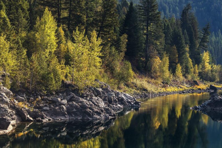
Photo of Flathead River: GlacierNPS, Public domain
Montana counties, A through Z
B
C
D
- Daniels County
- Dawson County
- Deer Lodge County
F
- Fallon County
- Fergus County
- Flathead County
G
- Gallatin County
- Garfield County
- Glacier County
- Golden Valley County
- Granite County
H
J
L
- Lake County
- Lewis and Clark County
- Liberty County
- Lincoln County
M
- Madison County
- McCone County
- Meagher County
- Mineral County
- Missoula County
- Musselshell County
P
- Park County
- Petroleum County
- Phillips County
- Pondera County
- Powder River County
- Powell County
- Prairie County
R
- Ravalli County
- Richland County
- Roosevelt County
- Rosebud County
S
T
- Teton County
- Toole County
- Treasure County
V
W
- Wheatland County
- Wibaux County
Y
Montana counties list, explained
Does a county page name an FWP region or district?
No. FWP prints districts and regions for waters, not counties, so counties are grouped by map position only: Northwest Montana 16, Southwest Montana 14, Southeast Montana 14, Northeast Montana 12.
Where do the access sites come from?
The FWP Fishing Access Sites layer and its FishMT pages, plus State Parks ramp and dock points.
Are small named lakes listed on county pages?
Yes, lake names from the FWP layer without a page are listed with their mapped outline area.
Is the county seat printed?
Yes, with 2020 Census counts and the land and water area from the Census Gazetteer; Butte and Anaconda are the consolidated city-counties.
Which rules show up on a county page?
Exception headings from the 2026 regulations for waters in the county, dated to that edition.
Do county pages show stocking?
They total the 2026 FishMT plant report rows matched to waters in the county; Valley County (77 rows) and Lewis and Clark County (50 rows) led the year to date.
Why are a few county names not clickable?
Their pages sit in the publishing line and gain links as they go out.
Do county pages show gauges as they read now?
Where USGS runs an active Montana gauge inside the county, its reading loads live on that page.
FWP rules and Montana directories beside the counties list
- Every Montana fishing page, A to Zreservoirs, streams, counties, towns and fish together
- Montana license prices and district rulesFWP fees, general seasons and the three fishing districts
- Western District standard limitschart rows and every exception water printed there
- Central District standard limitschart rows and every exception water printed there
- Eastern District standard limitschart rows and every exception water printed there
- Montana reservation and national park waterswhere tribal or Park Service rules come on top
- Montana ice fishing conteststhe FWP-approved winter list with dates and waters
- Montana free fishing weekendsMother's Day and Father's Day weekends by law
- Montana state record fishFWP's certified records, weights and lengths
- Montana stocking in 2026the FishMT plant report by water and species
- Montana reservoir levels and stream gaugesUSGS live flow plus dated Corps readings
- Montana boat rampsFWP fishing access sites and state park ramps
- Montana fishing access siteswalk-in, hand launch and bank sites
- Montana bait and tackle shopscounters, fly shops and marinas in four map quadrants
- Montana fishing guideslisted outfitters and guide services with towns and phones
- Montana fishing tournamentsFWP-approved contests and posted results
- Protected fish in Montanabull trout, pallid sturgeon and species of concern
 For the trout herePiscifun Carbon XT ultralight spinning reel25% OFFSale $59.99