Dowagiac River Fishing
Cass County and Berrien County, MDNR trout water.
 Pick for troutPiscifun Carbon X ultralight spinning reel28% OFFSale $57.99
Photo, nearby stand in for Dowagiac River: starscream1211, CC BY-SA 3.0
The Dowagiac River for visiting anglers
Michigan anglers fish the Dowagiac River, a river of Cass County and Berrien County. Mapped, it measures close to 23.6 miles. Supplies are in Dowagiac, about 4 miles off.
Trout Types cover roughly 23.4 miles: Type 4. USGS runs 2 active gauges on it. You can put in at 4 public launches.
 For the trout herePiscifun Carbon XT ultralight spinning reel25% OFFSale $59.99
Trout rules for the Dowagiac River
| Type | Miles | Fishing season | Daily possession | Tackle |
|---|---|---|---|---|
| Type 4 | 23.4 | January 1st to December 31st | 5 fish, with no more than 3 trout 15" or greater. Zero (0) Arctic Grayling. | Artificial lures and all types of natural bait may be used. |
Type 1 stream on the Dowagiac River close after September 30; Types 3 and 4 stay open all year with different possession rules and minimum sizes.
Trout and salmon need no separate stamp in Michigan; the all-species license ($26 resident, $76 nonresident a year) covers them.
MDNR Trout and Salmon Inland Stream Regulation Types and gear-restricted layers; 2026 Michigan Fishing Regulations (April 1, 2026 to March 31, 2027). Michigan trout streams.
Fish in the Dowagiac River
Fish documented on the Dowagiac River by MDNR layers and stocking.
MDNR trout stream layer, fishing sites, stocking table and state records.
How high the Dowagiac River is running
| USGS gauge | Latest reading | Time (ET) |
|---|---|---|
| Dowagiac River At State Hwy 51 Near Dowagiac, Mi | 69 cfs, 2.99 ft gage height | Nov 13 8:15 am |
| Dowagiac River At Sumnerville, Mi | 243 cfs, 5.51 ft gage height | Nov 13 7:45 am |
US Geological Survey provisional data, retrieved Nov 13, 2026 8:32 am ET. Provisional readings can be revised.
Launch sites along the Dowagiac River
- Peavine Street Boat Accesscarry-in launch, Recreation Passport, Cass County
- Arthur Dodd Memorial Boat Accessboat ramp, Cass County
- Pucker Street Boat Access1 lane, 15 trailer spaces, toilet, Berrien County
- Niles Boat Accessboat ramp, Berrien County
MDNR boat access sites, MDNR fishing sites, USGS gauges.
Harvest rules on the Dowagiac River
| Species | Limit | Season |
|---|---|---|
| Largemouth and smallmouth bass | 5 in any combination; minimum 14 inches | Possession: Sat. before Memorial Day – Dec. 31; catch-and-immediate-release open all year |
| Walleye (Lower Peninsula) | 5; minimum 15 inches | Last Sat. in April – March 15 |
| Northern pike (Lower Peninsula) | 2; minimum 24 inches | Last Sat. in April – March 15 |
| Muskellunge | Only 1 per angler per license year (April 1 – March 31); mandatory harvest registration within 24 hours; minimum 42 inches (46, 50 or 38 inches on listed waters) | Possession: 1st Sat. in June – March 15; catch-and-immediate-release open all year |
| Yellow perch | 25 | Open all year |
| Sunfish and crappie | 25 in any combination of the listed species | Open all year |
| Channel catfish | 10; minimum 12 inches | Open all year |
| Flathead catfish | 5; minimum 15 inches | Open all year |
| White bass | 10 | Open all year |
| Cisco and whitefish | 5 in any combination | Open all year |
| Burbot | 5 | Open all year |
| Trout and salmon (stream Type 4) | 5 fish, but no more than 3 trout 15 inches or greater; minimum brook 7", brown 10", salmon/lake trout/rainbow (steelhead)/splake 10" | Fishing: Open all year; possession: Last Sat. in April – Sep. 30 for brook trout, brown trout and Atlantic salmon; open all year f |
Statewide limits for the Lower Peninsula cover the Dowagiac River, with the trout row for stream Type 4.
2026 Michigan Fishing Regulations (April 1, 2026 to March 31, 2027). All Michigan limits.
Hatchery fish released into the Dowagiac River
Plants on the Dowagiac River: 9 events and 27,800 fish, 2024 to 2026.
| Date | Species | Strain | Avg length | Number |
|---|---|---|---|---|
| April 21, 2026 | Brown trout | Sturgeon River | 13.1 in | 3,500 |
| April 21, 2026 | Brown trout | Sturgeon River | 13.1 in | 2,800 |
| April 21, 2026 | Brown trout | Sturgeon River | 13.1 in | 2,800 |
| April 28, 2025 | Brown trout | Sturgeon River | 13.4 in | 3,700 |
| April 28, 2025 | Brown trout | Sturgeon River | 13.4 in | 3,000 |
| April 28, 2025 | Brown trout | Sturgeon River | 13.4 in | 3,000 |
| May 2, 2024 | Brown trout | Sturgeon River | 12.6 in | 3,400 |
| May 1, 2024 | Brown trout | Sturgeon River | 12.5 in | 2,800 |
| May 1, 2024 | Brown trout | Sturgeon River | 12.5 in | 2,800 |
MDNR Fish Stocking Report table, January 2024 to October 2026.
What sits close to the Dowagiac River
Lakes to try next to the Dowagiac River
- Mill Pond, Cass County6 miles
- Dewey Lake, Cass County7 miles
- Magician Lake8 miles
- Barron Lake8 miles
Where to pick up bait for the Dowagiac River
- Guntle's Outdoor Outfittersbait and tackle shop, Dowagiac, 4 miles
- Midway Watersports Inc Of Sister Lakesmarina, Dowagiac, 7 miles
- MS OUTDOORSbait and tackle shop, Niles, 8 miles
- Clear Water Marinamarina, Dowagiac, 8 miles
- The Lakes Marinamarina, Dowagiac, 8 miles
Charter captains and guides near the Dowagiac River
- Gold Coast Fishing Co.charter, Saint Joseph, (269) 548-7304
- Golden Eye Charterscharter, Berrien Center, (269) 471-7162
- Sea Hawk Sport Fishing Charterscharter, Stevensville, (269) 428-9866
- Silver King Sportfishing Chartercharter, Saint Joseph, (269) 983-7816
Towns that put you close to the Dowagiac River
- Dowagiac4 miles
- Eau Claire7 miles
- Berrien Springs8 miles
- Niles9 miles
Neighboring streams to the Dowagiac River
- Pokagon Creek5 miles
- St. Joseph River8 miles
- Dowagiac Creek8 miles
- Pipestone Creek10 miles
The counties around the Dowagiac River
Piscifun spinning and baitcasting picks for the Dowagiac River


Piscifun and Amazon links are affiliate links; the site earns a commission on qualifying purchases.
Lakes and streams near Dowagiac River, pictured
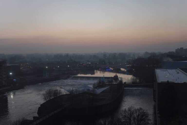
Photo: Paul Sableman from St. Louis, MO, CC BY 2.0

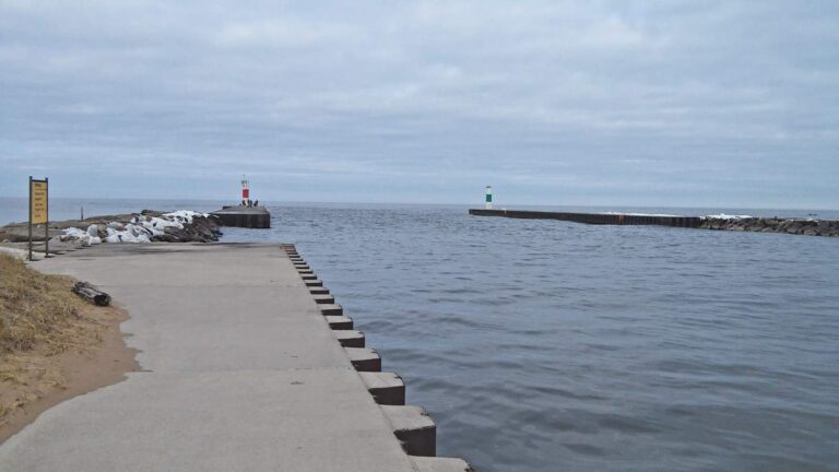
Photo: Andrew Jameson, CC BY-SA 4.0

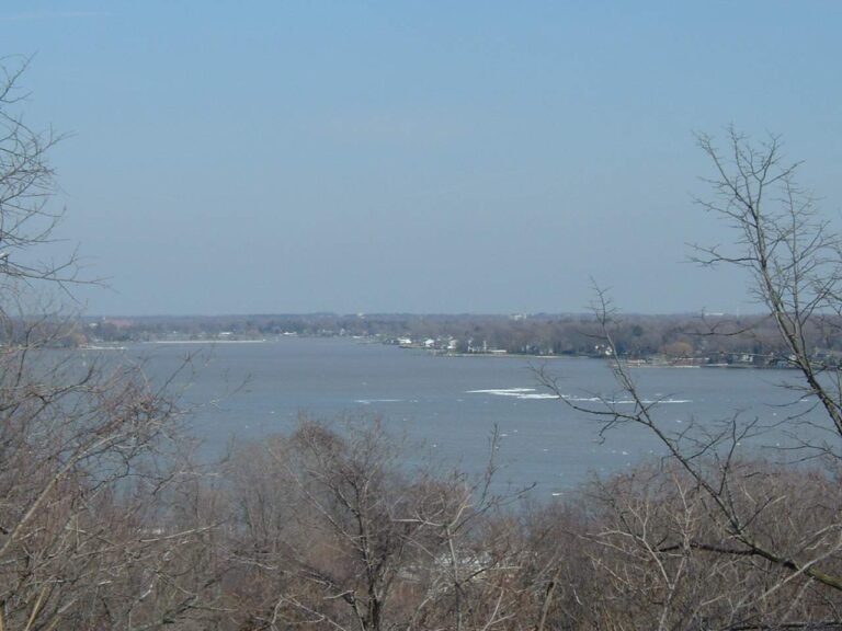
Photo: The original uploader was Triphook at English Wikipedia, CC BY-SA 3.0

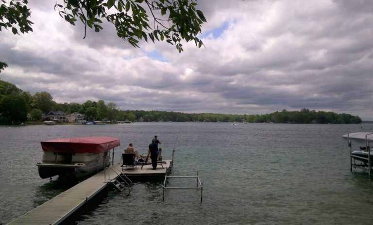
Photo: Gpwitteveen, CC BY-SA 3.0

Fishing the Dowagiac River: questions anglers ask
How do I find the Dowagiac River on a Michigan map?
The stream threads Cass County and Berrien County.
How does the MDNR type the Dowagiac River for trout?
Trout water over about 23.4 miles, Type 4.
Where are flow readings for the Dowagiac River posted?
It has 2 USGS gauges, shown in the flow band.
Which launches put boats onto the Dowagiac River?
MDNR data list 4 public launches; Niles Boat Access is one.
What are the trout limits on the Dowagiac River?
Type 4: 5 fish, with no more than 3 trout 15" or greater. Zero (0) Arctic Grayling. Season: January 1st to December 31st.
What does a visitor from out of state pay for the Dowagiac River?
Trout and salmon need no separate stamp in Michigan; the all-species license ($26 resident, $76 nonresident a year) covers them.
Where do anglers on the Dowagiac River pick up worms?
Guntle's Outdoor Outfitters, about 4 miles away.
Is the Dowagiac River Blue Ribbon water?
On file: trout and brown trout.
Which Census town is nearest the Dowagiac River?
The closest Michigan place is Dowagiac, 4 miles out.
Give the Dowagiac River a full afternoon
Buy the all-species license before the trip.