Fishing by Maine County
Fishing in all 16 Maine counties: every lake, pond, river, brook and tidal water as a row with a map pin, plus stocking dates and tackle shops.
 Pick for troutPiscifun Carbon X ultralight spinning reel28% OFFSale $57.99
Photo of Rangeley Lake: Paul Schultz, CC BY 2.0
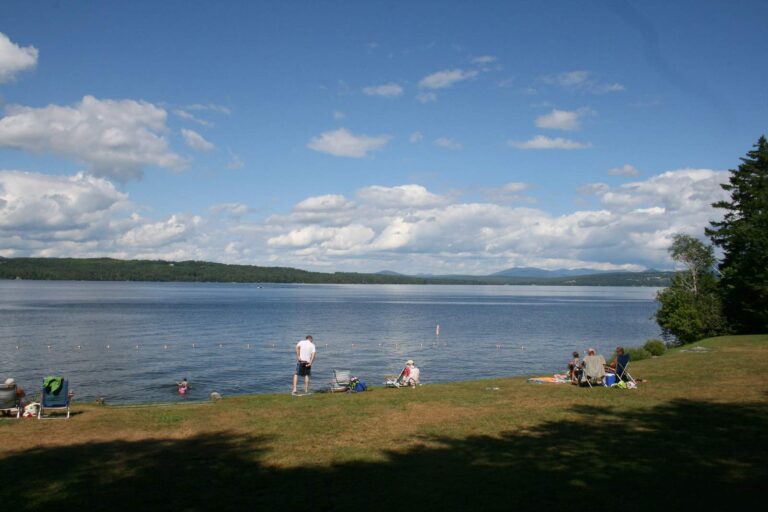
Photo of Rangeley Lake: Paul Schultz, CC BY 2.0
Maine counties list, explained
Where is every water that has no page?
On its county page: 8,689 waters are listed there row by row with acreage, survey facts and coordinates, and each row has its own anchor.
Does a county page name an MDIFW region?
No. Counties are grouped by map position only: Southwest Maine 6, Northeast Maine 4, Southeast Maine 4, Northwest Maine 2.
Where do launches come from?
From the Maine GeoLibrary boat launch layer and the coastal public access layer, each with its read date.
Do tiny named brooks show up?
Yes, named brooks and streams from the national hydrography layer are listed as rows with their NHD length.
Is the county seat printed?
Every county page gives the seat, the 2020 population and the land and water area.
Which rules show on a county page?
Statewide limits from the MDIFW law pages; water-specific special laws were not read, so none is printed.
Do county pages show stocking?
They list MDIFW stocking dates for waters in the county; statewide the reports cover 624 lakes and 125 rivers.
Do county pages show gauge data?
Where a county has an active USGS gauge, the page loads its latest reading with the gauge named.
MDIFW rules and Maine directories beside the counties list
- Every Maine fishing page, A to Zlakes, rivers, tidal waters, counties, towns and fish together
- Maine fishing this weekstocking, tournaments, advisories and conditions, dated
- Maine stocking datesthe latest DIF&W stocking events by water and date
- Maine fishing tournamentsscheduled events, results and tournament waters
- Maine license prices and regulationsDIF&W fees, limits, zones and S-codes
- Maine saltwater fishing rulesstriped bass rules and the saltwater registry
- Maine fish consumption advisoriesmercury, PFAS and PCB advice
- Maine saltwater state recordsDMR record fish with weights and waters
- Maine free fishing daysthe 2026 license-free dates
- Maine lake levels, stream gauges and tidesUSGS, Corps and NOAA readings
- Maine ice fishing ruleszone rules, lines, shelters and derbies
- Maine trout, salmon and toguelimits, S-codes and 2026 stocking
- Maine Heritage Fish Watersnative brook trout waters by county
- Maine countiesevery named water in every county, one row each
- Maine bait and tackle shopscounters and marinas in four map groupings
- Maine fishing guideslisted guide services with towns and phones
 For the trout herePiscifun Carbon XT ultralight spinning reel25% OFFSale $59.99