Indiana Rivers and Creeks
100 Indiana rivers and creeks, from the Wabash and White to Lake Michigan steelhead streams, with USGS flow and DNR access sites.
Photo of Sugar Creek: Chris Happel, CC BY-SA 2.0
 Pick for troutPiscifun Carbon X ultralight spinning reel28% OFFSale $57.99

A
- Anderson Riverriver
B
- Baugo Creekcreek
- Bear Creek (Fountain and Warren Counties)creek
- Big Blue Riverriver
- Big Creek (Jefferson and Jennings Counties)creek
- Big Pine Creekcreek
- Big Raccoon Creekcreek
- Big Walnut Creekcreek
- Black Riverriver
- Blue River (Crawford and Harrison Counties)river
- Buck Creek (Floyd and Harrison Counties)creek
- Busseron Creekcreek
C
- Cedar Creek (Allen and DeKalb Counties)creek
- Clear Creek (Monroe County)creek
- Cobus Creekcreek
- Coffee Creek (Porter County)creek
- Crooked Creek (LaPorte and Porter Counties)creek
D
- Deep Riverriver
- Driftwood Riverriver
E
- Eagle Creek (Boone and Hamilton Counties)creek
- East Arm Little Calumet Riverriver
- East Fork White Riverriver
- East Fork Whitewater Riverriver
- Eel River (Allen and Cass Counties)river
- Eel River (Clay and Greene Counties)river
- Elkhart Riverriver
- Eller Ditchstream
F
- Fall Creek (Delaware and Hamilton Counties)creek
- Fawn River (LaGrange County)river
- Fawn River (LaGrange and Steuben Counties)river
- Fish Creek (DeKalb and Steuben Counties)creek
- Flatrock Riverriver
G
- Graham Creek (Jefferson and Jennings Counties)creek
- Grand Calumet Riverriver
- Grassy Creek (Kosciusko and Whitley Counties)creek
I
- Indian Creek (Clark and Floyd Counties)creek
- Indian Creek (Montgomery County)creek
- Indian Kentuck Creekcreek
- Indiana Harbor Canalstream
- Iroquois Riverriver
J
- Juday Ditchstream
- Judy Creekcreek
K
- Kankakee Riverriver
L
- Laughery Creekcreek
- Little Blue River (Crawford County)river
- Little Blue River (Henry and Rush Counties)river
- Little Calumet Riverriver
- Little Elkhart Riverriver
- Little Flatrock Riverriver
- Little Indian Creek (Clark and Floyd Counties)creek
- Little Kankakee Riverriver
- Little Pine Creek (Tippecanoe and Warren Counties)creek
- Little Riverriver
- Lost Riverriver
M
- Maumee Riverriver
- Middle Fork Anderson Riverriver
- Middle Fork Wildcat Creekcreek
- Mill Creek (Fulton County)creek
- Mill Creek (Hendricks and Morgan Counties)creek
- Mississinewa Riverriver
- Mosquito Creek (Harrison County)creek
- Mud Pine Creekcreek
- Muscatatuck Riverriver
N
- North Fork Salt Creekcreek
O
P
- Patoka Riverriver
- Pigeon Creek (LaGrange and Steuben Counties)creek
- Pigeon Riverriver
- Potato Creekcreek
R
- Raccoon Creek (Monroe and Owen Counties)creek
- Reynolds Creekcreek
- Rowe-Eden Ditchstream
- Ryan Ditch (Jasper and Pulaski Counties)stream
S
- Saint Joseph River (Allen and DeKalb Counties)river
- Saint Joseph River (Elkhart and St. Joseph Counties)river
- Saint Marys Riverriver
- Salamonie Riverriver
- Salt Creek (Porter County)creek
- Sand Creek (Bartholomew and Decatur Counties)creek
- Silver Creek (Clark and Floyd Counties)creek
- Slocum Ditch (LaPorte and Porter Counties)stream
- Solomon Creekcreek
- South Fork Wildcat Creekcreek
- Spy Run Creekcreek
- Stinking Forkstream
- Sugar Creek (Boone and Clinton Counties)creek
- Sugar Creek (Hancock and Henry Counties)creek
- Sugar Mill Creekcreek
T
- Tanners Creekcreek
- Tippecanoe Riverriver
- Trail Creek (LaPorte County)creek
- Turkey Creek (LaGrange and Steuben Counties)creek
V
- Vernon Fork Muscatatuck Riverriver
W
- Wabash Riverriver
- West Fork Blue Riverriver
- White Riverriver
- Whitewater Riverriver
- Wildcat Creekcreek
- Willow Creek (St. Joseph County)creek
Y
- Yellow Riverriver
Lake and stream scenes for Indiana Rivers and Creeks
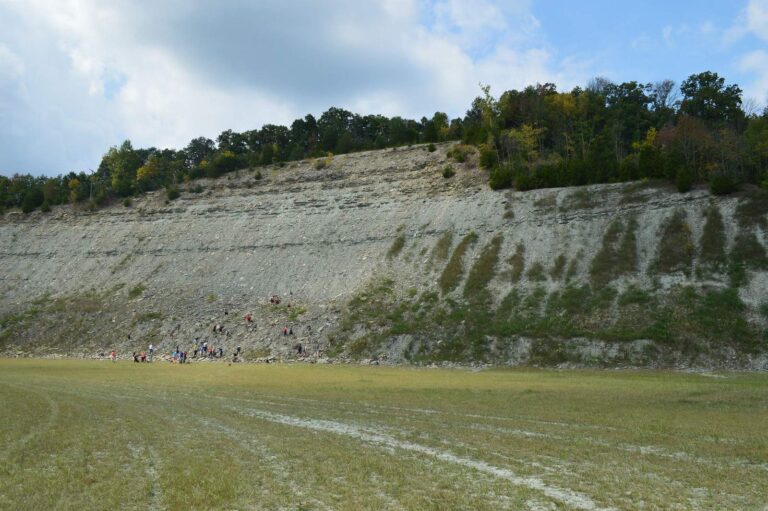
Photo: Kyle Hartshorn, CC BY 2.0
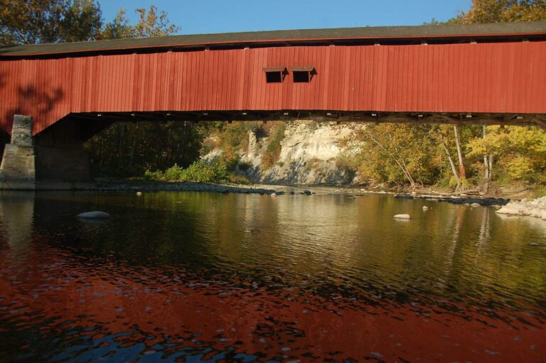
Photo: bob, CC BY 2.0
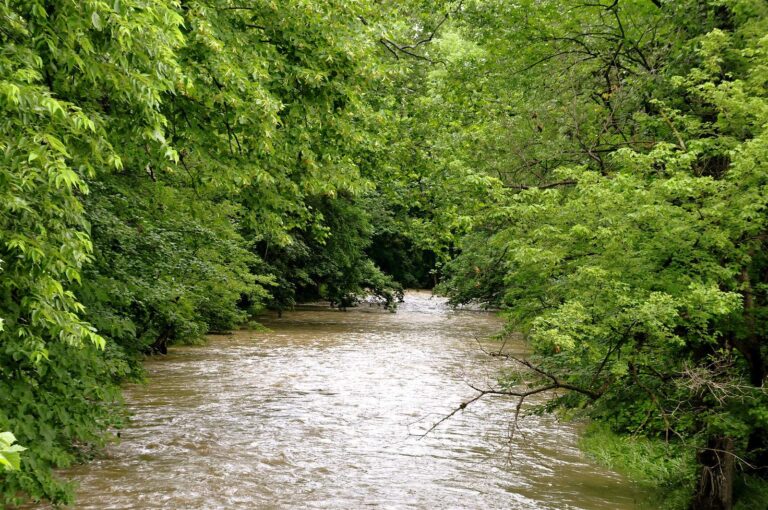
Photo: Kevin Burkett, CC BY-SA 2.0

Photo: Chris Rycroft, CC BY 2.0
The Hoosier rivers list: what readers ask
How many Indiana streams have a page?
100 rivers, creeks and streams, each with a DNR access site, a gauge, a guide rule, a stocking row or a state designation.
Where is the Ohio River?
It has a page of its own beside Lake Michigan, with the Kentucky reciprocity text and the Ohio River limits.
Which streams are Outstanding Rivers?
50 pages are on the Natural Resources Commission Outstanding Rivers list of 2013.
Which streams hold trout?
31 are DNR put-and-take or salmonid trout streams, including Lake Michigan tributaries.
Are the flows live?
USGS gauges refresh through the day; NWS pool and tailwater stages print with the UTC time they were read.
How many pages show a live USGS gauge?
63 river and creek pages.
Do river pages give a length?
100 show the length of the mapped NHD line inside Indiana, labelled that way; it is not a DNR survey figure.
Do streams carry special rules?
13 stream pages list entries from the special regulation waters section of the fishing guide.
Where to head after the Indiana rivers list
- Indiana waters A to Zevery lake, pit, river, county, town and fish page on one list
- License and regulationsDNR fees, who is exempt, and the 18 statewide rows of the guide
- Special regulation watersthe 71 lakes and streams the guide singles out
- Lake Michigan rulessalmonid bag, perch cap, tributary closures and hook limits
- Ohio River rulesmain stem limits and the Kentucky license deal
- Border watersIllinois, Michigan, Ohio and Kentucky arrangements
- Free Fishing Daysfour license-free days in 2026 for residents
- Indiana record fishthe DNR Record Fish Program list by species
- Stocking historyDNR dashboard rows back to 1960
- Trout fishingput-and-take streams, trout lakes and the stamp
- Levels and flowsUSGS live; Corps pools and NOAA gauges dated
- Lake Michiganthe 43-mile shore from Hammond to Michigan City
- Lake Michigan tributariesTrail Creek, Salt Creek, the Little Calumet and the St. Joe
- Ohio Riverthe southern border from Lawrenceburg to Mount Vernon
- Boat rampsDNR access sites with a page of their own
- Shore fishingpiers, urban sites and bank access
- Bait and tackleshops and marinas by DNR fisheries district number
- Guides and chartersDNR-licensed guides and Lake Michigan captains
- Tournamentsfederation club dates, BFL stops and results