Sand Creek (Bartholomew and Decatur Counties) Fishing
Moving water in Bartholomew County and 3 other counties; NRC Outstanding River (2013 list).
 Pick for smallmouth bassPiscifun Chaos Pro CNC baitcasting reel25% OFFSale $97.99
Photo of Columbus: Jeff Hart, CC BY 2.0
Sand Creek (Bartholomew and Decatur Counties), sized up for Indiana anglers
Mapped NHD line puts 55 miles of Sand Creek (Bartholomew and Decatur Counties) inside Indiana, through Bartholomew County and 3 other counties. The state lists it as NRC Outstanding River (2013 list). Plan on roughly 2 miles to the town of Westport.
Discharge is measured at 1 USGS gauge.
USGS NHD named flowlines (mapped length in Indiana, not a DNR figure); Indiana DNR stream designation layers and Fishing Access Sites, read November 5, 2026.
Special status of Sand Creek (Bartholomew and Decatur Counties)
- DesignationNRC Outstanding River (2013 list)
- Reach as listedConfluence with Cobbs fork to confluence East Fork of White River
- Navigableon the Indiana navigable waterways list
The rows for Sand Creek (Bartholomew and Decatur Counties) quote the state stream lists.
Natural Resources Commission Outstanding Rivers list (2013), DNR put-and-take and salmonid stream layers, Indiana navigable waterways list; read November 5, 2026.
Stage and discharge along Sand Creek (Bartholomew and Decatur Counties)
| USGS gauge | Latest reading | Time (ET) |
|---|---|---|
| Sand Creek At 116th Street At Fishers, In | 1 cfs, 1.84 ft gage height | Nov 8 1:15 am |
US Geological Survey provisional data, retrieved Nov 8, 2026 1:33 am ET. Provisional readings can be revised.
USGS readings for Sand Creek (Bartholomew and Decatur Counties) update live and are provisional.
Dam gauge readings on Sand Creek (Bartholomew and Decatur Counties)
| NWS gauge | Reading | Flow | Flood category | Time (UTC) |
|---|---|---|---|---|
| Sand Creek (IN) at Fishers | 1.88 ft | – | no flooding | 2026-11-05 20:15:00 UTC |
NOAA National Water Prediction Service gauge readings (water.noaa.gov), read November 5, 2026; dated readings, not live (kcfs = thousand cubic feet per second).
USGS instantaneous values, provisional.
DNR-listed fish in Sand Creek (Bartholomew and Decatur Counties)
For Sand Creek (Bartholomew and Decatur Counties) each name traces to a DNR label or row.
Indiana DNR Fishing Access Sites species fields, Indiana DNR fish stocking dashboard (year, month, water, species, number and average length as listed; repeat stockings summed by DNR), read November 5, 2026; Indiana DNR Indiana Record Fish Program list (keeper: Indiana DNR Division of Fish & Wildlife (Indiana Record Fish Program); angler names left off here), read November 5, 2026.
 For the smallmouth bass herePiscifun AlinoX 300 low profile baitcaster34% OFFSale $104.99
Launch spots on Sand Creek (Bartholomew and Decatur Counties)
DNR access data skips Sand Creek (Bartholomew and Decatur Counties); wade only where access is legal.
Neighbouring launches around Sand Creek (Bartholomew and Decatur Counties)
- Butlerville Public Access Site on Vernon Fork Muscatatuck RiverVernon Fork Muscatatuck River, 6 miles
- Brush Creek Reservoir boat rampBrush Creek Reservoir, 8 miles
- Eco Lake ParkEco Lake, 10 miles
- Old Timber Lake boat rampOld Timber Lake, 12 miles
Indiana DNR Fishing Access Sites layer (shown on the DNR Where to Fish map; attributes as recorded, blank where not recorded), read November 5, 2026.
Hatchery rows for Sand Creek (Bartholomew and Decatur Counties)
| Year | Month | Species as listed | Number | Avg length (in) |
|---|---|---|---|---|
| 1986 | October | Rock Bass | 1,085 | 1.33 |
| 1986 | October | Smallmouth Bass | 500 |
Indiana DNR fish stocking dashboard (year, month, water, species, number and average length as listed; repeat stockings summed by DNR), read November 5, 2026.
How many fish leave Sand Creek (Bartholomew and Decatur Counties) in your cooler
| Species as printed | Daily limit | Size limit |
|---|---|---|
| Black Bass: largemouth, smallmouth, and spotted bass (in rivers and streams) | 5, any combination of largemouth, smallmouth, or spotted bass | No fish 12 to 15 inches may be kept, and no more than two fish over 15 inches may be kept |
| Catfish: Channel, Blue, Flathead (in rivers and streams) | Unlimited | 13 inches; not more than one blue catfish that’s at least 35 inches, one flathead catfish at least 35 inches, and one channel catfish at least 28 inches or longer may be kept |
| Bluegill | Unlimited | no size limit |
| Redear Sunfish | 25 | no size limit |
| White Bass, Hybrid Striped Bass | 12, any combination of white bass or hybrid striped bass | No more than two fish may exceed 17 inches |
| Walleye, Walleye-Sauger Hybrid (Saugeye), Sauger | 6, any combination of walleye, walleye-sauger hybrid, and sauger | For walleye: 14 inches south of SR 26; 16 inches north of SR 26 For sauger and saugeye: No size limit |
| Northern Pike | 3 | 24 inches; no more than one 30 inches or longer |
On Sand Creek (Bartholomew and Decatur Counties), the river versions of the bass and catfish rows replace the lake ones.
Anglers 18 and older carry an Indiana fishing license ($23 a year for residents, $60 for nonresidents).
Statewide limits as printed, 2026-2027 Indiana Fishing Regulations Guide (eRegulations, linked from the Indiana DNR), read November 5, 2026. Indiana DNR license fees (license year April 1 to March 31), read November 5, 2026.
Nearby Indiana current around Sand Creek (Bartholomew and Decatur Counties)
Otter Creek (Jennings and Ripley Counties) is the nearest neighbour of Sand Creek (Bartholomew and Decatur Counties), roughly 9 miles off.
| Stream | Distance | Mapped NHD miles in IN | USGS gauges | DNR ramps |
|---|---|---|---|---|
| Sand Creek (Bartholomew and Decatur Counties) | this stream | 55 | 1 | 0 |
| Otter Creek (Jennings and Ripley Counties) | 9 miles southeast | 29 | 0 | 0 |
| Vernon Fork Muscatatuck River | 11 miles south | 79 | 1 | 2 |
| Graham Creek (Jefferson and Jennings Counties) | 14 miles south | 48 | 0 | 0 |
| Big Creek (Jefferson and Jennings Counties) | 20 miles south | 40 | 1 | 0 |
| Laughery Creek | 20 miles east | 76 | 0 | 0 |
USGS NHD and gauges, Indiana DNR Fishing Access Sites; read November 5, 2026.
A short haul from Sand Creek (Bartholomew and Decatur Counties)
More Indiana lakes within reach of Sand Creek (Bartholomew and Decatur Counties)
- Brush Creek Reservoir7 miles
- Selmier Pond8 miles
- Eco Lake10 miles
- Old Timber Lake12 miles
Stores stocking hooks and line around Sand Creek (Bartholomew and Decatur Counties)
- Monday's Sporting Goodsbait and tackle shop, North Vernon, 10 miles
- Bait and Tacklebait and tackle shop, North Vernon, 11 miles
- R & J Bait and Tacklebait and tackle shop, Versailles, 17 miles
- SCC Bait & Tacklebait and tackle shop, Versailles, 18 miles
- R & J Bait & Tacklebait and tackle shop, Versailles, 20 miles
- Lake Santee Marinamarina, Greensburg, 22 miles
Places to eat and sleep near Sand Creek (Bartholomew and Decatur Counties)
- Westport2 miles
- North Vernon10 miles
- Country Squire Lakes10 miles
Further Hoosier streams by Sand Creek (Bartholomew and Decatur Counties)
- Otter Creek (Jennings and Ripley Counties)9 miles
- Vernon Fork Muscatatuck River11 miles
- Graham Creek (Jefferson and Jennings Counties)14 miles
- Big Creek (Jefferson and Jennings Counties)20 miles
- Laughery Creek20 miles
County pages that take in Sand Creek (Bartholomew and Decatur Counties)
- Bartholomew County
- Decatur County
- Jackson County
- Jennings County
A Piscifun lineup sized for Sand Creek (Bartholomew and Decatur Counties)


Piscifun and Amazon links are affiliate links; the site earns a commission on qualifying purchases.
Lakes and stream bends close to Sand Creek (Bartholomew and Decatur Counties), in pictures
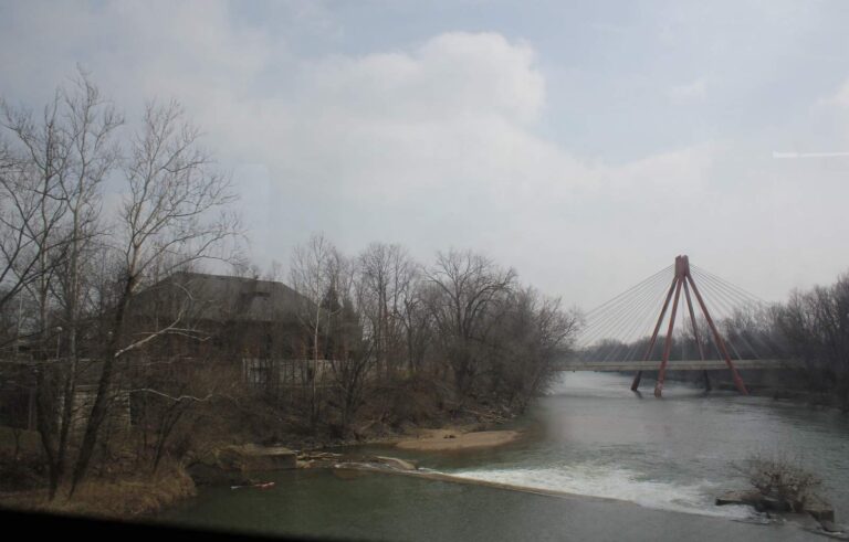
Photo: Jeff Hart, CC BY 2.0
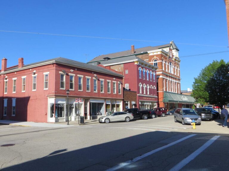
Photo: David Wilson, CC BY 2.0
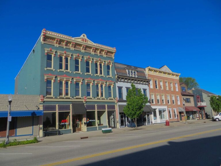
Photo: David Wilson, CC BY 2.0

Photo: Kyle Hartshorn, CC BY 2.0
Sorting out Sand Creek (Bartholomew and Decatur Counties) before the cooler gets packed
Which counties does Sand Creek (Bartholomew and Decatur Counties) cross?
Head for Bartholomew County and 3 other counties, and its mapped point is about 2 miles from Westport.
How many mapped Indiana miles does Sand Creek (Bartholomew and Decatur Counties) run?
The NHD map shows 55 miles of line in Indiana; that is a mapping figure, not a DNR survey.
Which access sites serve Sand Creek (Bartholomew and Decatur Counties)?
No DNR access site names it.
Which fish does the DNR name in Sand Creek (Bartholomew and Decatur Counties)?
DNR labels name smallmouth bass and rock bass.
Which bass limit covers Sand Creek (Bartholomew and Decatur Counties)?
The guide row for rivers and streams reads: 5, any combination of largemouth, smallmouth, or spotted bass; No fish 12 to 15 inches may be kept, and no more than two fish over 15 inches may be kept
May an out-of-state visitor wet a line on Sand Creek (Bartholomew and Decatur Counties)?
Anglers 18 and older carry an Indiana fishing license ($23 a year for residents, $60 for nonresidents).
Is there a flow gauge on Sand Creek (Bartholomew and Decatur Counties)?
Sand Creek at 116Th Street at Fishers, IN reports it live.
Which Indiana bait counter is handiest to Sand Creek (Bartholomew and Decatur Counties)?
Nearest in our list: Monday's Sporting Goods, about 10 miles away,.
What designation does Sand Creek (Bartholomew and Decatur Counties) carry?
State lists name it: NRC Outstanding River (2013 list).
Give Sand Creek (Bartholomew and Decatur Counties) a Saturday
Get the Indiana license on the DNR site before the float.