Shell Rock River Fishing
Freeborn County, Shell Rock River State Water Trail.
 Pick for walleyePiscifun Viper X spinning reel50% OFFSale $39.99
Photo, nearby stand in for Shell Rock River: Wikideas1, CC0
Getting to know the Shell Rock River
Across Freeborn County, the Shell Rock River winds along as a river. GIS lines trace roughly 26 miles of it in the state. The nearest incorporated city is Glenville, about under a mile from its midpoint. The DNR maps it as the Shell Rock River State Water Trail.
Put-ins on file: 5 public accesses.
Accesses on the Shell Rock River
- Fountain Lake, North Edgewater Bay Access1 ramp, 18 trailer stalls, 1 dock, toilet, Freeborn County, river mile 20.1
- Fountain Lake, Brookside Landing Access1 ramp, 30 trailer stalls, 1 dock, Freeborn County, river mile 18.4
- Albert Lea Lake, Frank Hall Park Access2 ramps, 24 trailer stalls, 1 dock, Freeborn County, river mile 13.7
- Albert Lea Lake, St. Nicholas Landing Access1 ramp, 7 trailer stalls, 1 dock, Freeborn County, river mile 13.7
- Albert Lea Lake, Myre Big Island SPK Access1 ramp, 8 trailer stalls, 1 dock, toilet, Freeborn County, river mile 12.9
Minnesota DNR Public Water Access Sites and Kittle route lines, USGS gauges.
DNR limits on the Shell Rock River
Nothing beyond statewide limits is posted for the Shell Rock River.
| Species | Limit | Season |
|---|---|---|
| Walleye and sauger | 6 combined total (only 1 walleye over 20" in possession) | May 9, 2026 – Feb. 28, 2027 |
| Northern pike (Southern Zone) | 2 (minimum size 24") | May 9, 2026 – Feb. 28, 2027 |
| Northern pike (Southern Zone) | 2 (minimum size 24") | Nov. 15, 2026 – Feb. 28, 2027 except where prohibited |
| Largemouth bass | Catch-and-release only | March 1 – May 22, 2026 |
| Largemouth bass | 6 combined total largemouth or smallmouth bass (when smallmouth season is open) | May 23, 2026 – Feb. 28, 2027 |
| Smallmouth bass | Catch-and-release only | March 1 – May 22, 2026 |
| Smallmouth bass | 6 combined total largemouth or smallmouth bass | May 23 – Sept. 13, 2026 |
| Smallmouth bass | Catch-and-release only | Sept. 14, 2026 – Feb. 28, 2027 |
| Crappie | 10 combined total | Continuous |
| Sunfish | 20 combined total | Continuous |
| Yellow perch | 20 daily, 40 in possession | Continuous |
| Muskellunge | 1 (minimum size 54") | June 6 – Nov. 30, 2026 |
| Channel catfish | 5 (only 1 over 24") | Continuous |
| Rock bass | 30 | Continuous |
| Cisco (tullibee) | 15 (over 7") | Continuous |
| Burbot (eelpout) | 4 | Continuous |
2026 Minnesota Fishing Regulations. All Minnesota limits.
 For the walleye herePiscifun AlumiX spinning reel46% OFFSale $64.99
Close by Shell Rock River
Lakes a short haul from Shell Rock River
- Albert Lea Lake4 miles
- Pickeral Lake, Freeborn County7 miles
- Fountain Lake, Freeborn County7 miles
- White Lake, Freeborn County8 miles
Bait counters serving Shell Rock River
- The Dam Bait Shopbait and tackle shop, Albert Lea, 6 miles
- Runningsfarm and general store with fishing supplies, Austin, 16 miles
Places to bunk near Shell Rock River
- Glenvilleunder a mile
- Hayward5 miles
- Albert Lea6 miles
- Myrtle7 miles
Creeks beside the Shell Rock River
- Turtle Creek12 miles
- Orchard Creek13 miles
- Cedar River23 miles
- Le Sueur River28 miles
Minnesota counties sharing Shell Rock River
Spinning and baitcasting picks for the Shell Rock River


Piscifun and Amazon links are affiliate links; the site earns a commission on qualifying purchases.
Species in the nets at Shell Rock River
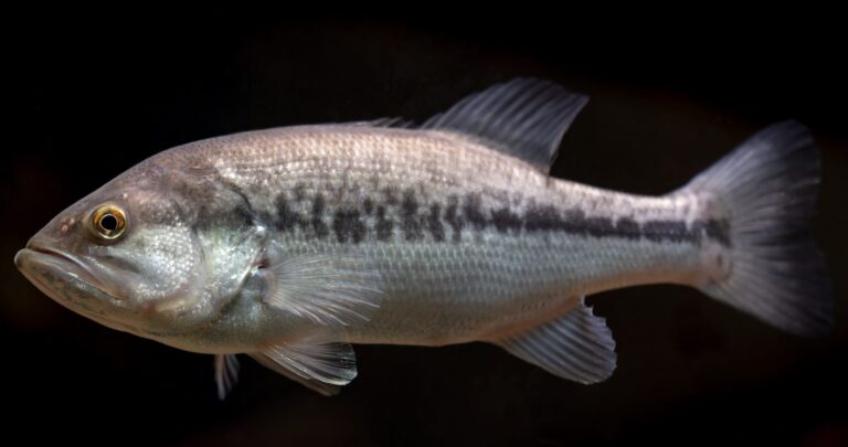
Photo: USFWS Mountain Prairie, Public domain

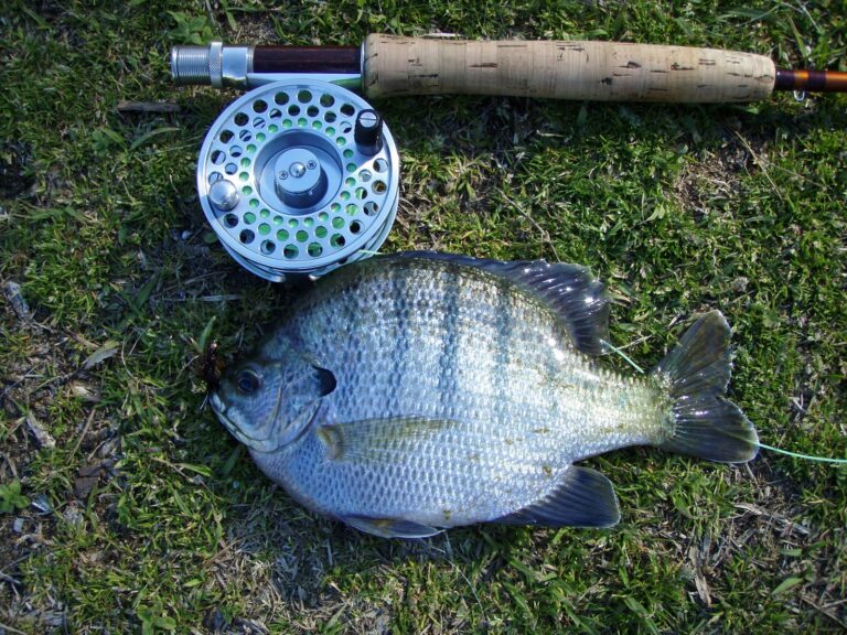
Photo: Mike Cline, Public domain

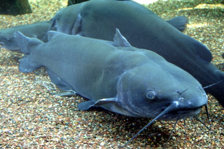
Photo: Ryan Somma, CC BY-SA 2.0

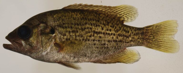
Photo: Smithsonian Environmental Research Center, CC BY 2.0

The Shell Rock River, questions with short answers
What part of Minnesota holds the Shell Rock River?
DNR route lines put it in Freeborn County.
Is the Shell Rock River designated trout water?
Not designated for trout.
Is there a USGS gauge on the Shell Rock River?
No USGS gauge matches it.
Where do I launch on the Shell Rock River?
5 public accesses; Fountain Lake, North Edgewater Bay Access is one.
Which DNR rules apply on the Shell Rock River?
Statewide limits apply.
Can visitors fish the Shell Rock River?
Minnesota residents 16 to 89 need an angling license ($25 for the year); nonresidents 16 and older pay $51.
Where are minnows sold near the Shell Rock River?
Drive 6 miles to reach The Dam Bait Shop.
What town makes a base on the Shell Rock River?
Glenville, about under a mile from the midpoint by air.
Which fish swim in the Shell Rock River?
LakeFinder carries no stream species for it.
Put the Shell Rock River on this season’s list
Check the gauge and the regulations before the trip.