Fishing in Mower County, Minnesota
Seat: Austin. Southern region.
- 6lakes
- 9accesses
- 3trout streams
 Pick for troutPiscifun Carbon X ultralight spinning reel28% OFFSale $57.99
Photo of Zumbro River: Jonathunder, CC BY-SA 3.0

Key facts on Mower County
With Austin as its seat, Mower County belongs to the Southern region. Within the county lie 711 square miles of land and 0.2 of lakes and rivers.
The county holds 6 lake pages covering 141 acres; Ramsey Mill Pond is the largest. The DNR access layer shows 9 public water accesses in the county, 5 of them trailer launches. 3 streams in Mower County are designated trout water. Catch tables cover 6 lakes, with walleye in 1. Fishing from shore: 3 DNR piers and sites.
 For the trout herePiscifun Carbon XT ultralight spinning reel25% OFFSale $59.99
Lakes and rivers of Mower County on a map
Minnesota DNR access and fishing site layers and LakeFinder, checked October 2026.
Lake list for Mower County
| Lake | Acres | Max depth ft | Accesses | Walleye per gill net |
|---|---|---|---|---|
| Ramsey Mill Pond | 53 | 18 | 0 | |
| East Side Lake | 40 | 10 | 1 | 6 |
| Mill Pond, Mower County | 18 | 17 | 1 | |
| Louise Mill Pond | 15 | 8 | 0 | |
| Pine Lawn Lake | 11 | 8 | 1 | |
| LeRoy Sand Pit | 4 | 14 | 0 |
DNR LakeFinder morphology, access layer and latest survey per lake.
Mower County river pages
- Root Riverriver, 12 accesses
- Cedar Riverriver, 5 accesses
- Turtle Creekcreek, 1 access
- Orchard Creekcreek, 1 access
- Iowa River, Upperriver
Trout-designated streams of Mower County
The county holds 3 more designated trout streams, listed with their mapped length.
- Hamilton Creek0.4 mi, near Racine
- LeRoy Trout Pond0 mi, near Le Roy
- Woodson Creek1 mi, near Austin
USGS sites in Mower County
| USGS gauge | Latest reading | Time (ET) |
|---|---|---|
| Cedar River Near Austin, Mn | 438 cfs, 3.89 ft gage height | Nov 13 6:00 pm |
US Geological Survey provisional data, retrieved Nov 13, 2026 6:33 pm ET. Provisional readings can be revised.
DNR designated trout stream layer.
Boat landings across Mower County
- Austin Mill Pond AccessMill Pond, 1 ramp, 5 trailer stalls
- Cedar River, Dreisner Park AccessCedar River, carry-in access
- Cedar River, Marcusen Park AccessCedar River, 1 ramp
- Cedar River, Ramsey Mill Pond AccessCedar River, 1 ramp, 5 trailer stalls
- Cedar River, Riverwood Landing AccessCedar River, carry-in access
- East Side Lake AccessEast Side, 1 ramp, 1 dock
- Pine Lawn Lake AccessPine Lawn, 1 ramp, 4 trailer stalls, toilet
- Turtle Creek AccessTurtle Creek, 1 ramp
- Orchard Creek AccessOrchard Creek, trailer launch
DNR fishing piers across Mower County (3)
- Austin Mill Pond Fishing Pierfishing pier, Mill Pond
- East Side Lake Fishing Pierfishing pier, East Side
- Rowe Pit Shore Fishing Siteshore fishing site, LeRoy Sand Pit
Minnesota DNR Public Water Access Sites and Public Fishing Sites.
Statewide rows for Mower County
| Species | Limit | Season |
|---|---|---|
| Walleye and sauger | 6 combined total (only 1 walleye over 20" in possession) | May 9, 2026 – Feb. 28, 2027 |
| Northern pike (Southern Zone) | 2 (minimum size 24") | May 9, 2026 – Feb. 28, 2027 |
| Northern pike (Southern Zone) | 2 (minimum size 24") | Nov. 15, 2026 – Feb. 28, 2027 except where prohibited |
| Largemouth bass | Catch-and-release only | March 1 – May 22, 2026 |
| Largemouth bass | 6 combined total largemouth or smallmouth bass (when smallmouth season is open) | May 23, 2026 – Feb. 28, 2027 |
| Smallmouth bass | Catch-and-release only | March 1 – May 22, 2026 |
| Smallmouth bass | 6 combined total largemouth or smallmouth bass | May 23 – Sept. 13, 2026 |
| Smallmouth bass | Catch-and-release only | Sept. 14, 2026 – Feb. 28, 2027 |
| Crappie | 10 combined total | Continuous |
| Sunfish | 20 combined total | Continuous |
| Yellow perch | 20 daily, 40 in possession | Continuous |
| Muskellunge | 1 (minimum size 54") | June 6 – Nov. 30, 2026 |
| Channel catfish | 5 (only 1 over 24") | Continuous |
| Rock bass | 30 | Continuous |
| Cisco (tullibee) | 15 (over 7") | Continuous |
| Burbot (eelpout) | 4 | Continuous |
| Stream trout | Catch-and-release only | Jan. 1 – April 10, 2026 |
| Stream trout | 5 combined total (only 1 over 16") | April 11 – Sept. 14, 2026 |
| Stream trout | Catch-and-release only | Sept. 15 – Oct. 15, 2026 |
| Stream trout | Closed to fishing | Oct. 16 – Dec. 31, 2026 |
| Stream trout | Catch-and-release only | Jan. 1 – April 9, 2027 |
Map position of Austin: Southern Zone.
2026 Minnesota Fishing Regulations; lake pages show any special regulation.
Buying tackle in Mower County
Bait counters, Mower County
- Runningsfarm and general store with fishing supplies, Austin
In the neighborhood of Mower County
Mower County towns
- Austinpop. 26,174
- Grand Meadowpop. 1,127
- Le Roypop. 957
- Adamspop. 683
- Brownsdalepop. 633
- Lylepop. 522
- Racinepop. 458
- Rose Creekpop. 397
- Dexterpop. 324
- Walthampop. 164
- Mapleviewpop. 144
- Elktonpop. 130
- Sargeantpop. 63
- Taopipop. 61
Over the line from Mower County
- Dodge County25 miles north
- Olmsted County29 miles northeast
- Freeborn County30 miles west
- Fillmore County33 miles east
Fish to look for at Mower County
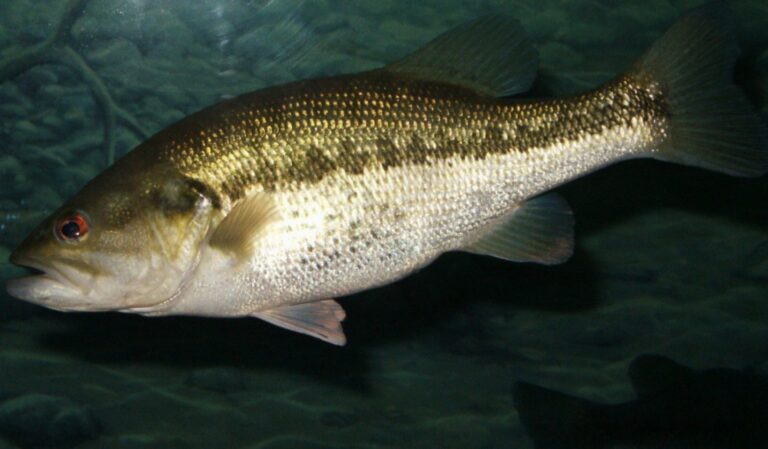
Photo: Robert Pos, CC BY 2.0

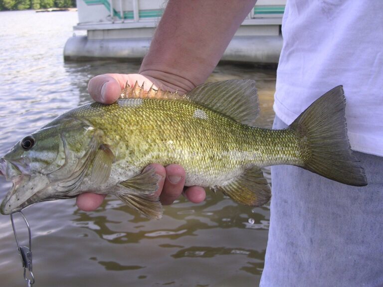
Photo: ASprigOfFig at English Wikipedia, Public domain

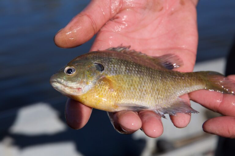
Photo: Pacific Southwest Region USFWS from Sacramento, US, Public domain

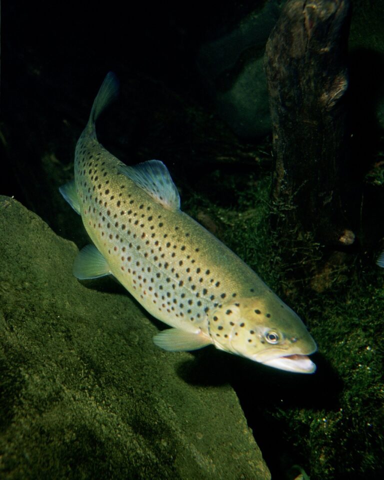
Photo: Eric Engbretson for U.S. Fish and Wildlife Service, Public domain

Mower County angling, asked by readers
How many boat landings does Mower County have?
The county has 9 public accesses (5 for trailers).
Which lake tops the list in Mower County?
Ramsey Mill Pond, 53 acres.
Where is trout water in Mower County?
The DNR designates 3 streams here.
Which pike zone is Mower County in?
Austin falls in the Southern Zone, so those rows apply.
Which stores sell fishing gear in Mower County?
1 shop; Runnings is one.
Which outfitters operate in Mower County?
None list the county.
Are walleye found in Mower County lakes?
6 lakes carry DNR catch tables, 1 with walleye.
Which city is the county seat of Mower County?
County offices sit in Austin.
Which Minnesota license covers Mower County?
Minnesota residents 16 to 89 need an angling license ($25 for the year); nonresidents 16 and older pay $51. Designated trout water takes a Minnesota angling license ($25 resident, $51 nonresident) and the $10 trout and salmon stamp validation for ages 18 to 64.