Alabama Artificial Reefs
The ADCNR reef permit zones, the 2025 master list of public reefs, what they are built from and the reef fish rules.
 Pick for snapperPiscifun AlinoX 400 baitcaster with bait clicker25% OFFSale $149.99
Photo of Athens: formulanone, CC BY-SA 2.0
Alabama artificial reefs and reef permit zones
The ADCNR Marine Resources Division 2025 master list holds 2,334 public reefs: 1,365 offshore, 932 nearshore and 37 inshore. Offshore and nearshore reefs sit inside permit zones; some zones are open for public reef deployments and others are reserved for MRD deployments. Depths are printed as listed; the distances in the list carry no unit, so none is added here.
ADCNR Marine Resources Division public reef master list 2025 (KMZ; reef layer), read November 1, 2026. Coordinates are for information only, not for navigation.
Every Alabama reef zone with its reef count
| Zone | Class | Deployment status | Acres | Reefs | Years |
|---|---|---|---|---|---|
| Alabama Charter Fishing Association | Nearshore | Reserved for AMRD Reef Deployments | 6,388 | 100 | 2018 to 2022 |
| Alabama Gulf Coast Reef and Restoration Foundation | Nearshore | Reserved for AMRD Reef Deployments | 17,919 | 106 | 1974 to 2025 |
| Alabama Wildlife Federation | Nearshore | Reserved for AMRD Reef Deployments | 4,778 | 89 | 2018 to 2021 |
| C.M. Blankenship | Offshore | Reserved for AMRD Reef Deployments | 40,193 | 128 | 1960 to 2024 |
| Coastal Conservation Association of Alabama | Nearshore | Reserved for AMRD Reef Deployments | 9,402 | 120 | 1973 to 2025 |
| Don Kelley | Offshore | Available for Public Reef Deployments | 155,273 | 183 | 1983 to 2022 |
| Dr. Robert (Bob) Shipp | Offshore | Available for Public Reef Deployments | 233,217 | 424 | 1974 to 2025 |
| Dr. Sean Powers | Nearshore | Reserved for AMRD Reef Deployments | 5,351 | 84 | 2018 to 2021 |
| Dr. Stephen Szedlmayer | Nearshore | Juvenile – Reserved for AMRD Reef Deployments | 4,030 | 37 | 2018 to 2023 |
| Hugh Swingle | Offshore | Available for Public Reef Deployments | 55,808 | 159 | 1972 to 2025 |
| Inshore reefs | Inshore | 37 | 1991 to 2023 | ||
| National Fish and Wildlife Foundation | Nearshore | Juvenile – Reserved for AMRD Reef Deployments | 1,872 | 33 | 2021 to 2025 |
| R.V. Minton East | Nearshore | Reserved for AMRD Reef Deployments | 325 | 46 | 2013 to 2016 |
| R.V. Minton West | Nearshore | Reserved for AMRD Reef Deployments | 727 | 92 | 2013 to 2016 |
| Tatum Winn North | Offshore | Available for Public Reef Deployments | 170,233 | 347 | 2003 to 2022 |
| Tatum Winn South | Offshore | Available for Public Reef Deployments | 45,686 | 113 | 2004 to 2025 |
| Trolling Corridor | Corridor | 216 | 1975 to 2013 |
What sits on Alabama reefs
Alabama reef zone centres
Alabama reefs listed outside any zone
| Reef | Structure and material | Deployed | Listed depth | Position as listed |
|---|---|---|---|---|
| Gulf State Park Alabama Point | Eco Reef, 42 eco-reef modules | 2018 | 12 ft listed depth | N30° 16.406' W87° 32.460' |
| Gulf State Park Pavillion | Eco Reef, 82 eco-reef modules placed in the shape of Alabama | 2018 | 12 ft listed depth | N30° 15.076' W87° 38.665' |
| Gulf State Park Romar Beach | Eco Reef, 42 eco-reef modules | 2018 | 12 ft listed depth | N30° 15.611' W87° 36.372' |
| Chamber 1* | Voting Machine, Decommissioned voting machines (Two) | 2005 | 34 ft listed depth | N30° 13.731' W87° 32.934' |
| Chamber 2* | Voting Machine, Decommissioned voting machines (Two) | 2005 | 35 ft listed depth | N30° 13.764' W87° 32.932' |
| Three Mile Barge* | Barge, Flat deck steel barge 25'W x 66' L | N/A | 36 ft listed depth | N30° 13.709' W87° 32.953' |
| 105 Tug | Vessel, Wood hull tug boat, 105' long, received from Alabama Drydock and Shipbuilding | 1976 | 71 ft listed depth | N30° 3.888' W87° 42.455' |
| D.I. Bridge 07 | Bridge, Hurricane damaged bridge spans and pilings | 1980 | 74 ft listed depth | N30° 3.722' W88° 5.134' |
| D.I. Bridge 08 | Bridge, Hurricane damaged bridge spans and pilings | 1980 | 72 ft listed depth | N30° 5.545' W88° 7.408' |
| Lipscomb Tug | Vessel, Wood hull triple deck tug boat | 1972 | 61 ft listed depth | N30° 4.880' W87° 48.180' |
| Mp 261-B* | Rig, base of MP 261 jacket extending 188' from the sea floor, with 112' of clearance from ocean surface – structure is 124' square at the ba | 2018 | 299 ft listed depth | N29° 19.846' W88° 6.112' |
| Mp 261-T* | Rig, Top section of MP 261 jacket extending 127' from the sea floor, with 172' of clearance from ocean surface – structure has a 86' x 75' r | 2018 | 299 ft listed depth | N29° 19.854' W88° 6.035' |
| Mp255 | Rig, Reefed platform MP255 extending 237' above the seabed and approximately 180' in diameter. | 2016 | 332 ft listed depth | N29° 19.242' W87° 48.770' |
| Southeast Banks | Natural, Natural rock live bottom | N/A | 76 ft listed depth | N30° 1.425' W87° 56.900' |
| Southwest Rock | Natural, Natural Rock Live Bottom | N/A | 65 ft listed depth | N30° 6.414' W88° 12.275' |
| Unocal Rig | Rig, Oil Platform and Jacket cut into three sections placed side by side | 2000 | 288 ft listed depth | N29° 21.705' W87° 48.395' |
| Vk 385 | Rig, base of VK 385 jacket and toppled top section immediately adjacent to base- 77'of vertical relief and 193' long | 2015 | 140 ft listed depth | N29° 35.775' W88° 2.798' |
| Mp 265 | Rig, Reefed platform MP265 extending 117' from the seabead, the top portion is ~60' to the west of the base. There is ~90' of clearance abo | 2020 | 208 ft listed depth | N29° 20.799' W88° 16.912' |
| Vk 826 | Rig, Spar structure of Platform A-Neptune Spar Complex ID No. 24235-1 measuring 705' length and 72' diameter | 2023 | 674 ft listed depth | N29° 15.935' W088° 01.673' |
| Mp 259-B | Rig, Base of MP 259 jacket extending 294' from the sea floor, with 94' of clearance from ocean surface – structure is 170' square at the bas | 2025 | 388 ft listed depth | N29° 19.56' W088° 0.21' |
ADCNR Marine Resources Division public reef master list 2025 (KMZ; reef layer), read November 1, 2026. Coordinates are for information only, not for navigation.
Fishing Alabama reefs: limits and endorsement
| Species | Creel and size | Waters |
|---|---|---|
| Cobia (Ling) | 1 per person, not to exceed 2 per vessel; 36" min. FL | state waters |
| King Mackerel | 3 per person; 24" min. FL | state waters |
| Gag Grouper | 2 per person; 24" min TL | state waters; see seasons |
| Red Grouper | 2 per person; 20" min TL | state waters; see seasons |
| Scamp | 4 per person; 16" min TL | state waters; see seasons |
| Greater Amberjack | 1 per person; 34" min FL | state waters; see seasons |
| Gray Triggerfish | 1 per person; 15" min FL | state waters; see seasons |
| Red Snapper | 2 per person in state and federal waters; 16" min. TL | state waters; see seasons |
| Vermilion Snapper (beeliner) | 10 per person; 10" min. TL | state waters; see seasons |
| Lane Snapper | Reef Fish aggregate; 10" min. TL | state waters; see seasons |
| Gray Snapper (mangrove, black) | 10 per person; 12" min. TL | state waters; see seasons |
The endorsement costs $10 a year for residents and nonresidents alike in 2026-27.
Gulf reef fish: state waters extend 9 nautical miles from the beach (including Pelican/Sand Island); all other species: 3 nautical miles (MRD 2026 sheet).
Bay, river and lake views for Alabama Artificial Reefs

Photo: Mississippi-Alabama Sea Grant, CC BY 2.0
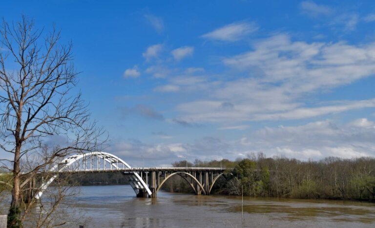
Photo: Ron Cogswell, CC BY 2.0

Photo: bryantevans1, CC BY-SA 2.0
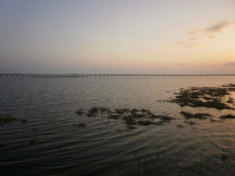
Photo: Erin Kinney, CC BY-SA 2.0
Alabama artificial reef questions
How many artificial reefs does Alabama list?
2,334 on the ADCNR 2025 master list.
Which zone holds the most reefs?
Dr. Robert (Bob) Shipp, with 424.
Can the public build a reef in Alabama waters?
Only in the zones marked available for public reef deployments, under an ADCNR permit; the others are reserved for MRD deployments.
Are the reef coordinates safe for navigation?
No; ADCNR gives them for information only.
What are the reef distances measured in?
The master list prints the numbers without a unit, so this site does not add one.
Are there inshore reefs?
Yes; 37 inshore reefs in Mobile Bay and Mississippi Sound, many of limestone and concrete rubble.
What license covers reef fishing?
Saltwater anglers 16 and older carry an Alabama saltwater license ($30.90 resident, $66.80 nonresident for 2026-27), plus the $10 Gulf Reef Fish Endorsement to keep reef fish such as red snapper.
What is the Trolling Corridor?
A reef group ADCNR lists without a permit polygon; its reefs are on their own page here.