Tatum Winn North Artificial Reefs
An ADCNR offshore reef permit zone off the Alabama coast with 347 listed reefs.
 Pick for snapperPiscifun AlinoX 400 baitcaster with bait clicker25% OFFSale $149.99
Photo of Gulf Shores: nola.agent, CC BY 2.0
Tatum Winn North at first glance for reef anglers
Off Alabama, Tatum Winn North is an offshore reef permit zone with 347 reefs on the ADCNR list. ADCNR maps 170,233 acres for it, some 265.8 square miles. ADCNR lists it as: Available for Public Reef Deployments.
Deployments on the list run from 2003 through 2022. Reefs sit in 94 to 170 feet, as listed. The list is led by Pyramid.
Coordinates on this page are for information only; navigate with your own charts and electronics.
ADCNR Marine Resources Division public reef master list 2025 (KMZ; reef layer), read November 1, 2026. Coordinates are for information only, not for navigation.
Reefs in Tatum Winn North
| Reef | Structure and material | Placed | Listed depth | Position as listed |
|---|---|---|---|---|
| Spmid 22-005 | Pyramid, Concrete & limestone pyramid (One) 25' height and 15' triangular base | 2022 | 126 ft listed depth | N29° 39.369' W87° 54.633' |
| Spmid 22-008 | Pyramid, Concrete & limestone pyramid (One) 25' height and 15' triangular base | 2022 | 122 ft listed depth | N29° 39.934' W87° 54.544' |
| Spmid 22-009 | Pyramid, Concrete & limestone pyramid (One) 25' height and 15' triangular base | 2022 | 136 ft listed depth | N29° 39.989' W87° 56.103' |
| Spmid 22-010 | Pyramid, Concrete & limestone pyramid (One) 25' height and 15' triangular base | 2022 | 132 ft listed depth | N29° 40.266' W87° 56.104' |
| Spmid 22-011 | Pyramid, Concrete & limestone pyramid (One) 25' height and 15' triangular base | 2022 | 127 ft listed depth | N29° 40.306' W87° 55.575' |
| Spmid 22-012 | Pyramid, Concrete & limestone pyramid (One) 25' height and 15' triangular base | 2022 | 130 ft listed depth | N29° 40.423' W87° 53.778' |
| Spmid 22-013 | Pyramid, Concrete & limestone pyramid (One) 25' height and 15' triangular base | 2022 | 133 ft listed depth | N29° 40.537' W87° 52.712' |
| Spmid 22-014 | Pyramid, Concrete & limestone pyramid (One) 25' height and 15' triangular base | 2022 | 130 ft listed depth | N29° 40.747' W87° 55.643' |
| Spmid 22-015 | Pyramid, Concrete & limestone pyramid (One) 25' height and 15' triangular base | 2022 | 134 ft listed depth | N29° 40.786' W87° 57.288' |
| Spmid 22-154 | Pyramid Cluster, Concrete & limestone pyramid (Two) 25' height and 15' triangular base | 2022 | 135 ft listed depth | N29° 39.179' W87° 55.581' |
| Spmid 22-155 | Pyramid Cluster, Concrete & limestone pyramid (Two) 25' height and 15' triangular base | 2022 | 132 ft listed depth | N29° 39.478' W87° 54.930' |
| Spmid 22-158 | Pyramid Cluster, Concrete & limestone pyramid (Two) 25' height and 15' triangular base | 2022 | 134 ft listed depth | N29° 39.757' W87° 55.602' |
| Spmid 22-159 | Pyramid Cluster, Concrete & limestone pyramid (Two) 25' height and 15' triangular base | 2022 | 133 ft listed depth | N29° 40.016' W87° 55.701' |
| Spmid 22-161 | Pyramid Cluster, Concrete & limestone pyramid (Two) 25' height and 15' triangular base | 2022 | 133 ft listed depth | N29° 40.378' W87° 54.870' |
| Spmid 22-162 | Pyramid Cluster, Concrete & limestone pyramid (Two) 25' height and 15' triangular base | 2022 | 127 ft listed depth | N29° 40.603' W87° 53.280' |
| Spmid 21-001 | Pyramid Cluster, Concrete & limestone pyramid (Two) 25' height and 15' triangular base | 2021 | 159 ft listed depth | N29° 31.884' W87° 47.689' |
| Spmid 21-001 | Pyramid Cluster, Concrete & limestone pyramid (Two) 25' height and 15' triangular base | 2021 | 159 ft listed depth | N29° 31.884' W87° 47.689' |
| Spmid 21-002 | Pyramid, Concrete & limestone pyramid (one) .25' height and 15' triangular base | 2021 | 151 ft listed depth | N29° 32.391' W87° 47.821' |
| Spmid 21-002 | Pyramid, Concrete & limestone pyramid (one) .25' height and 15' triangular base | 2021 | 151 ft listed depth | N29° 32.391' W87° 47.821' |
| Spmid 21-003 | Pyramid, Concrete & limestone pyramid (One) 25' height and 15' triangular base | 2021 | 156 ft listed depth | N29° 32.575' W87° 47.290' |
| Spmid 21-003 | Pyramid, Concrete & limestone pyramid (One) 25' height and 15' triangular base | 2021 | 156 ft listed depth | N29° 32.575' W87° 47.290' |
| Spmid 21-004 | Pyramid Cluster, Concrete & limestone pyramid (Two) 25' height and 15' triangular base | 2021 | 150 ft listed depth | N29° 32.663' W87° 48.370' |
| Spmid 21-004 | Pyramid Cluster, Concrete & limestone pyramid (Two) 25' height and 15' triangular base | 2021 | 150 ft listed depth | N29° 32.663' W87° 48.370' |
| Spmid 21-005 | Pyramid, Concrete & limestone pyramid (One) 25' height and 15' triangular base | 2021 | 150 ft listed depth | N29° 32.907' W87° 47.365' |
| Spmid 21-005 | Pyramid, Concrete & limestone pyramid (One) 25' height and 15' triangular base | 2021 | 150 ft listed depth | N29° 32.907' W87° 47.365' |
| Spmid 21-006 | Pyramid Cluster, Concrete & limestone pyramid (Two) 25' height and 15' triangular base | 2021 | 143 ft listed depth | N29° 33.035' W87° 49.036' |
| Spmid 21-006 | Pyramid Cluster, Concrete & limestone pyramid (Two) 25' height and 15' triangular base | 2021 | 143 ft listed depth | N29° 33.035' W87° 49.036' |
| Spmid 21-007 | Pyramid, Concrete & limestone pyramid (One) 25' height and 15' triangular base | 2021 | 146 ft listed depth | N29° 33.100' W87° 48.619' |
| Spmid 21-007 | Pyramid, Concrete & limestone pyramid (One) 25' height and 15' triangular base | 2021 | 146 ft listed depth | N29° 33.100' W87° 48.619' |
| Spmid 21-008 | Pyramid, Concrete & limestone pyramid (One) 25' height and 15' triangular base | 2021 | 147 ft listed depth | N29° 33.313' W87° 48.401' |
| Spmid 21-008 | Pyramid, Concrete & limestone pyramid (One) 25' height and 15' triangular base | 2021 | 147 ft listed depth | N29° 33.313' W87° 48.401' |
| Spmid 21-009 | Pyramid Cluster, Concrete & limestone pyramid (Two) 25' height and 15' triangular base | 2021 | 140 ft listed depth | N29° 33.404' W87° 49.001' |
| Spmid 21-009 | Pyramid Cluster, Concrete & limestone pyramid (Two) 25' height and 15' triangular base | 2021 | 140 ft listed depth | N29° 33.404' W87° 49.001' |
| Spmid 21-010 | Pyramid Cluster, Concrete & limestone pyramid (Two) 25' height and 15' triangular base | 2021 | 140 ft listed depth | N29° 33.869' W87° 49.052' |
| Spmid 21-010 | Pyramid Cluster, Concrete & limestone pyramid (Two) 25' height and 15' triangular base | 2021 | 140 ft listed depth | N29° 33.869' W87° 49.052' |
| Spmid 21-011 | Pyramid, Concrete & limestone pyramid (One) 25' height and 15' triangular base | 2021 | 139 ft listed depth | N29° 33.870' W87° 48.443' |
| Spmid 21-011 | Pyramid, Concrete & limestone pyramid (One) 25' height and 15' triangular base | 2021 | 139 ft listed depth | N29° 33.870' W87° 48.443' |
| Spmid 21-012 | Pyramid Cluster, Concrete & limestone pyramid (Two) 25' height and 15' triangular base | 2021 | 128 ft listed depth | N29° 35.273' W87° 46.126' |
| Spmid 21-012 | Pyramid Cluster, Concrete & limestone pyramid (Two) 25' height and 15' triangular base | 2021 | 128 ft listed depth | N29° 35.273' W87° 46.126' |
| Spmid 21-013 | Pyramid Cluster, Concrete & limestone pyramid (Two) 25' height and 15' triangular base | 2021 | 126 ft listed depth | N29° 35.604' W87° 45.812' |
| Spmid 21-013 | Pyramid Cluster, Concrete & limestone pyramid (Two) 25' height and 15' triangular base | 2021 | 126 ft listed depth | N29° 35.604' W87° 45.812' |
| Spmid 21-014 | Pyramid, Concrete & limestone pyramid (One) 25' height and 15' triangular base | 2021 | 124 ft listed depth | N29° 36.120' W87° 51.373' |
| Spmid 21-014 | Pyramid, Concrete & limestone pyramid (One) 25' height and 15' triangular base | 2021 | 124 ft listed depth | N29° 36.120' W87° 51.373' |
| Spmid 21-015 | Pyramid Cluster, Concrete & limestone pyramid (Two) 25' height and 15' triangular base | 2021 | 126 ft listed depth | N29° 36.360' W87° 50.728' |
| Spmid 21-015 | Pyramid Cluster, Concrete & limestone pyramid (Two) 25' height and 15' triangular base | 2021 | 126 ft listed depth | N29° 36.360' W87° 50.728' |
| Spmid 21-016 | Pyramid, Concrete & limestone pyramid (One) 25' height and 15' triangular base | 2021 | 124 ft listed depth | N29° 36.376' W87° 51.489' |
| Spmid 21-016 | Pyramid, Concrete & limestone pyramid (One) 25' height and 15' triangular base | 2021 | 124 ft listed depth | N29° 36.376' W87° 51.489' |
| Spmid 21-017 | Pyramid, Concrete & limestone pyramid (One) 25' height and 15' triangular base | 2021 | 128 ft listed depth | N29° 36.606' W87° 51.094' |
| Spmid 21-017 | Pyramid, Concrete & limestone pyramid (One) 25' height and 15' triangular base | 2021 | 128 ft listed depth | N29° 36.606' W87° 51.094' |
| Spmid 21-018 | Pyramid, Concrete & limestone pyramid (One) 25' height and 15' triangular base | 2021 | 135 ft listed depth | N29° 36.921' W87° 51.493' |
| Spmid 21-018 | Pyramid, Concrete & limestone pyramid (One) 25' height and 15' triangular base | 2021 | 135 ft listed depth | N29° 36.921' W87° 51.493' |
| Spmid 21-019 | Pyramid Cluster, Concrete & limestone pyramid (Two) 25' height and 15' triangular base | 2021 | 141 ft listed depth | N29° 37.009' W87° 51.004' |
| Spmid 21-019 | Pyramid Cluster, Concrete & limestone pyramid (Two) 25' height and 15' triangular base | 2021 | 141 ft listed depth | N29° 37.009' W87° 51.004' |
| Spmid 21-020 | Pyramid Cluster, Concrete & limestone pyramid (Two) 25' height and 15' triangular base | 2021 | 136 ft listed depth | N29° 39.410' W87° 49.946' |
| Spmid 21-020 | Pyramid Cluster, Concrete & limestone pyramid (Two) 25' height and 15' triangular base | 2021 | 136 ft listed depth | N29° 39.410' W87° 49.946' |
| Spmid 21-021 | Pyramid Cluster, Concrete & limestone pyramid (Two) 25' height and 15' triangular base | 2021 | 128 ft listed depth | N29° 40.813' W87° 47.701' |
| Spmid 21-021 | Pyramid Cluster, Concrete & limestone pyramid (Two) 25' height and 15' triangular base | 2021 | 128 ft listed depth | N29° 40.813' W87° 47.701' |
| Spmid 21-093 | Pyramid Cluster, Concrete & limestone pyramid (Two) 25' height and 15' triangular base | 2021 | 129 ft listed depth | N29° 41.543' W87° 46.364' |
| Spmid 21-093 | Pyramid Cluster, Concrete & limestone pyramid (Two) 25' height and 15' triangular base | 2021 | 129 ft listed depth | N29° 41.543' W87° 46.364' |
| Spmid 21-094 | Pyramid, Concrete & limestone pyramid (One) 25' height and 15' triangular base | 2021 | 133 ft listed depth | N29° 39.491' W87° 47.388' |
Only the latest 60 of 347 reefs fit here; the KMZ holds all.
For Spmid 22-005 the list prints 40.6 to the Perdido Pass buoy; 32.6 to the Sand Island light (as listed, no unit given).
ADCNR Marine Resources Division public reef master list 2025 (KMZ; reef layer), read November 1, 2026. Coordinates are for information only, not for navigation.
How Tatum Winn North was built
- Pyramid227 reefs
- Pyramid Cluster102 reefs
- Unconsolidated Structural Steel9 reefs
- Concrete3 reefs
- Structural Steel3 reefs
- Vessel1 reef
- Barge1 reef
- Ship1 reef
How Tatum Winn North was funded
- NFWF Phase 286 reefs
- NFWF Phase 142 reefs
- CIAP18 reefs
ADCNR Marine Resources Division public reef master list 2025 (KMZ; reef layer), read November 1, 2026. Coordinates are for information only, not for navigation.
Running to Tatum Winn North from shore
- Fort MorganBaldwin County, 31 miles south from the zone centre
- Dauphin IslandMobile County, 34 miles south from the zone centre
- Gulf ShoresBaldwin County, 35 miles southwest from the zone centre
- Bon SecourBaldwin County, 39 miles south from the zone centre
- Orange BeachBaldwin County, 41 miles southwest from the zone centre
Other ramps a short tow from Tatum Winn North
- Ft. Morgan Boat Ramp on Pass DruryPass Drury, 31 miles
- The Pines Boat Launch on Bon Secour BayBon Secour Bay, 32 miles
- Little Billygoat Hole Ramp on Pass DruryPass Drury, 34 miles
- Billygoat Hole Ramp on Pass DruryPass Drury, 34 miles
USGS GNIS domestic names (feature class and primary point), read November 1, 2026; ADCNR coastal boating access pages and public access site layer (ADCNR GIS), read November 1, 2026.
Season dates for Tatum Winn North
| Season | Opens | Closes | Rule as printed |
|---|---|---|---|
| Red snapper (private anglers, shore, state-licensed charter) | May 22, 2026 | not set (quota) | Open 7 days a week until the end of the year or when Alabama's quota has been met; 2 per person per day, 16 inches TL minimum; 2026 private angler quota 664,552 pounds; report through Snapper Check. |
| Red snapper (federally permitted for-hire vessels) | June 1, 2026 | October 26, 2026 | Opens 12:01 a.m. local time June 1, 2026, closes 12:01 a.m. local time October 26, 2026 (147 days in federal waters). |
Limits as printed by the ADCNR Marine Resources Division recreational size, creel and possession limits for state waters (MRD limits page), read November 1, 2026.
Keeping reef fish from Tatum Winn North
| Species | Daily limit and size | Waters |
|---|---|---|
| Cobia (Ling) | 1 per person, not to exceed 2 per vessel; 36" min. FL | state waters |
| King Mackerel | 3 per person; 24" min. FL | state waters |
| Gag Grouper | 2 per person; 24" min TL | state waters; see seasons |
| Red Grouper | 2 per person; 20" min TL | state waters; see seasons |
| Scamp | 4 per person; 16" min TL | state waters; see seasons |
| Greater Amberjack | 1 per person; 34" min FL | state waters; see seasons |
| Gray Triggerfish | 1 per person; 15" min FL | state waters; see seasons |
| Red Snapper | 2 per person in state and federal waters; 16" min. TL | state waters; see seasons |
| Vermilion Snapper (beeliner) | 10 per person; 10" min. TL | state waters; see seasons |
| Lane Snapper | Reef Fish aggregate; 10" min. TL | state waters; see seasons |
| Gray Snapper (mangrove, black) | 10 per person; 12" min. TL | state waters; see seasons |
The state-federal line decides which rules apply at a reef in Tatum Winn North.
Gulf reef fish: state waters extend 9 nautical miles from the beach (including Pelican/Sand Island); all other species: 3 nautical miles (MRD 2026 sheet).
Saltwater anglers 16 and older carry an Alabama saltwater license ($30.90 resident, $66.80 nonresident for 2026-27), plus the $10 Gulf Reef Fish Endorsement to keep reef fish such as red snapper.
Limits as printed by the ADCNR Marine Resources Division recreational size, creel and possession limits for state waters (MRD limits page), read November 1, 2026.
Reef zones next to Tatum Winn North
| Zone | Distance | Class | Reefs listed | Acres |
|---|---|---|---|---|
| Dr. Robert (Bob) Shipp | 15 miles east | Offshore | 424 | 233,217 |
| Hugh Swingle | 16 miles northwest | Offshore | 159 | 55,808 |
| C.M. Blankenship | 16 miles northwest | Offshore | 128 | 40,193 |
| Tatum Winn South | 22 miles south | Offshore | 113 | 45,686 |
| Coastal Conservation Association of Alabama | 22 miles north | Nearshore | 120 | 9,402 |
ADCNR Marine Resources Division public reef master list 2025 (KMZ; reef layer), read November 1, 2026. Coordinates are for information only, not for navigation.
Shops, rooms and water close to Tatum Winn North
Gulf fishing near Tatum Winn North
- Alabama Gulf watersstate waters
Coast near Tatum Winn North
- Little Lagoon33 miles
- Pass Drury34 miles
- Oyster Bay36 miles
- Bon Secour River36 miles
Alabama towns with rooms near Tatum Winn North
- Dauphin Island35 miles
- Gulf Shores37 miles
- Orange Beach40 miles
Charter and guide names for Tatum Winn North
- AAA Charterscharter, Foley, (251) 948-2525
- Action Charter Service Inccharter, Orange Beach, (888) 558-3889
- Alabama Coastal Charterscharter, Gulf Shores, (251) 943-6017
- Alabama Deep Sea Fishingcharter, Lillian, (251) 981-3733
- Alabama Fun Fishing LLCcharter, Orange Beach, (251) 550-5002
- Alabama Inshore Charterscharter, Fairhope, (251) 421-6797
- Allen Stella Marina Charterscharter, Foley, (251) 981-4510
- Annan Brian Capt Gulf Rebelcharter, Orange Beach, (251) 981-3119
Piscifun reels a Yellowhammer State angler might load for Tatum Winn North


Piscifun and Amazon links are affiliate links; the site earns a commission on qualifying purchases.
The country around Tatum Winn North through a lens
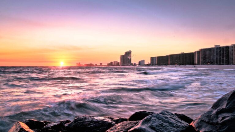
Photo: Jody Claborn, Public domain
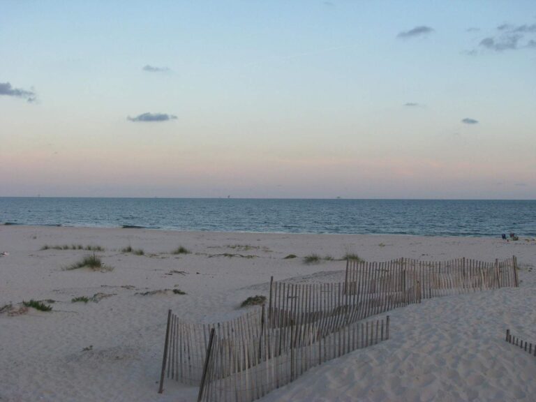
Photo: nola.agent, CC BY 2.0
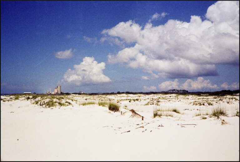
Photo: blgrssby, CC BY-SA 2.0
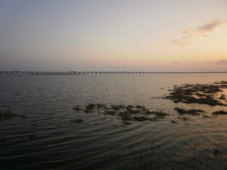
Photo: Erin Kinney, CC BY-SA 2.0
Tatum Winn North, the common questions settled
Which Alabama harbor sits nearest Tatum Winn North?
From Fort Morgan it is around 31 miles to the zone centre.
What does the master list show for Tatum Winn North?
347 reefs in all across about 170,233 acres.
Is Tatum Winn North deep water?
Listed depths run 94 to 170 feet.
What was sunk in Tatum Winn North?
The list is led by Pyramid (227), Pyramid Cluster (102) and Unconsolidated Structural Steel (9).
Can I keep red snapper from Tatum Winn North?
Red snapper (private anglers, shore, state-licensed charter): opens May 22, 2026, closes not set (quota). Red Snapper: 2 per person in state and federal waters; 16" min. TL.
Which ADCNR license covers Tatum Winn North?
Saltwater anglers 16 and older carry an Alabama saltwater license ($30.90 resident, $66.80 nonresident for 2026-27), plus the $10 Gulf Reef Fish Endorsement to keep reef fish such as red snapper.
What years does ADCNR list for Tatum Winn North?
Oldest 2003, newest 2022.
Are Tatum Winn North positions official?
They are copied from the ADCNR list as printed.
Is there another zone by Tatum Winn North?
Dr. Robert (Bob) Shipp, about 15 miles away.
Mark Tatum Winn North for the next calm day
Every Alabama saltwater fee is one click away.