Alabama Water Levels
Live USGS lake and river gauges and dated NOAA Gulf readings for Alabama.
 Angler pickPiscifun Viper X spinning reel50% OFFSale $39.99
Photo of Cahaba River: Pat Hayes, CC BY-SA 2.0
Live USGS elevations on Alabama lakes
| Lake | Level | Reading | Source |
|---|---|---|---|
| Lake Eufaula | 186.47 ft | Nov 11, 2026 | USGS 0234296910 |
| Millers Ferry Reservoir | 79.73 ft | Nov 11, 2026 | USGS 02427505 (gage height) |
| Lake Tuscaloosa | 220.39 ft | Nov 11, 2026 | USGS 02464800 |
USGS provisional lake data, refreshed hourly by the site.
TVA lakes (Guntersville, Wheeler, Wilson, Pickwick) and Alabama Power lakes (Weiss, Neely Henry, Logan Martin, Lay, Mitchell, Jordan, Martin, Smith, Harris and the rest) publish their levels on the operators’ own sites, which could not be read here; no figure is printed for them.
Alabama river pages with a live USGS gauge
- Alabama River9 gauges
- Bear Creek2 gauges
- Big Canoe Creek1 gauge
- Big Escambia Creek1 gauge
- Big Wills Creek2 gauges
- Black Warrior River5 gauges
- Blackwater Creek1 gauge
- Bogue Chitto Creek1 gauge
- Buck Creek (Shelby County)1 gauge
- Burnt Corn Creek1 gauge
- Buttahatchee River1 gauge
- Cahaba River12 gauges
- Chewacla Creek1 gauge
- Choccolocco Creek2 gauges
- Choctawhatchee River3 gauges
- Conecuh River4 gauges
- Coosa River10 gauges
- Crooked Creek1 gauge
- Cypress Creek (Lauderdale County)1 gauge
- Escatawpa River1 gauge
- Fish River2 gauges
- Fivemile Creek (Jefferson County)1 gauge
- Flint Creek2 gauges
- Flint River1 gauge
- Fowl River1 gauge
- Hatchet Creek (Coosa County)1 gauge
- Limestone Creek2 gauges
- Little Cahaba River (Jefferson County)3 gauges
- Little Cahaba River (Shelby County)1 gauge
- Little River (Cherokee County)1 gauge
- Little Tallapoosa River1 gauge
- Locust Fork2 gauges
- Mulberry Creek1 gauge
- Mulberry Fork3 gauges
- Murder Creek2 gauges
- North River1 gauge
- Paint Rock River1 gauge
- Patsaliga Creek1 gauge
- Pea River3 gauges
- Pine Barren Creek1 gauge
- Sepulga River1 gauge
- Shades Creek3 gauges
- Sipsey Fork2 gauges
- Sipsey River1 gauge
- Sougahatchee Creek1 gauge
- Styx River2 gauges
- Talladega Creek1 gauge
- Tallapoosa River6 gauges
- Terrapin Creek1 gauge
- Tombigbee River5 gauges
- Town Creek (DeKalb County)1 gauge
- Uchee Creek1 gauge
USGS instantaneous values, 191 stream gauges in Alabama read November 1, 2026.
Dated NOAA water level readings along the Alabama Gulf
| Station | County | Water level | Datum | Reading for |
|---|---|---|---|---|
| Dauphin Island | Mobile County | 1.38 ft | MLLW | November 1, 2026 |
| Dog River Bridge | Mobile County | 1.45 ft | MLLW | November 1, 2026 |
| East Fowl River Bridge | Mobile County | 1.47 ft | MLLW | November 1, 2026 |
| Coast Guard Sector Mobile | Mobile County | 1.61 ft | MLLW | November 1, 2026 |
| Mobile State Docks | Mobile County | 1.31 ft | MLLW | November 1, 2026 |
| Chickasaw Creek | Mobile County | 1.35 ft | MLLW | November 1, 2026 |
| West Fowl River Bridge | Mobile County | 1.52 ft | MLLW | November 1, 2026 |
| Bayou La Batre Bridge | Mobile County | 1.72 ft | MLLW | November 1, 2026 |
NOAA CO-OPS preliminary water levels at retrieval; every coast page links its nearest station.
NOAA tide prediction stations around Mobile Bay and the Gulf
- Arnica Bay, Mill PointBaldwin County
- Alabama PointBaldwin County
- Wolf BayBaldwin County
- Gulf State Park PierBaldwin County
- Gulf Shores, ICWWBaldwin County
- Bon Secour, Bon Secour RiverBaldwin County
- Weeks BayBaldwin County
- Fly Creek, Mobile BayBaldwin County
- Point Clear, Mobile BayBaldwin County
- Meaher State Park, Mobile BayBaldwin County
- Mobile Point (Fort Morgan)Baldwin County
- DAUPHIN ISLANDMobile County
- Dauphin Island HydroMobile County
- Dog River BridgeMobile County
- East Fowl River, Hwy 193 BridgeMobile County
- Coast Guard Sector MobileMobile County
- MOBILE, Mobile River (State Dock)Mobile County
- William Brooks Park, Chichasaw CreekMobile County
- Lower Hall Landing, Tensaw RiverBaldwin County
- Lower Bryant LandingBaldwin County
- West Fowl River, Hwy 188 bridgeMobile County
- Bayou La Batre, Mississippi SoundMobile County
- Bayou LaBatre BridgeMobile County
Alabama Water Levels, with Alabama water in pictures
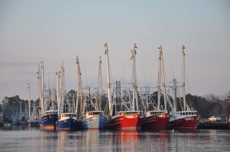
Photo: Mississippi-Alabama Sea Grant, CC BY 2.0
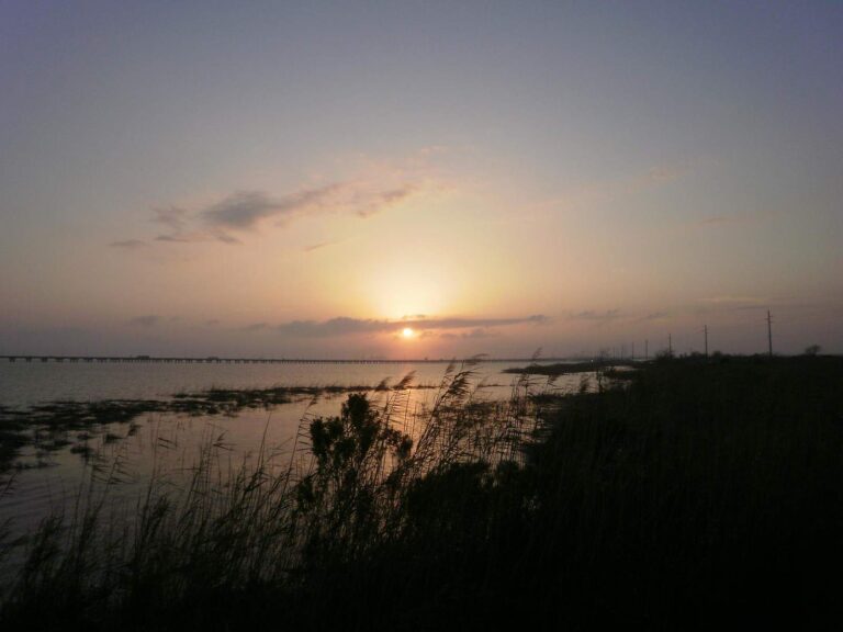
Photo: Erin Kinney, CC BY-SA 2.0

Photo: Mark Brennan, CC BY-SA 2.0
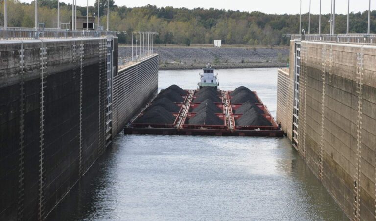
Photo: U.S. Army Corps of Engineers Nashville District, CC BY-SA 2.0
Alabama water level questions
How many Alabama lakes have a live USGS level here?
3; USGS runs few lake gauges in Alabama.
Why are TVA and Alabama Power lake levels missing?
Those operators publish levels on their own sites, which block or script-load the data, so no level is printed rather than a stale one.
Are Corps of Engineers levels shown?
No; the Corps water data service disallows automated reading.
Where are river flows?
On each river page with a USGS gauge, as discharge and gauge height; 52 river pages have one.
What datum do the NOAA readings use?
NOAA reports these Gulf readings in feet above mean lower low water (MLLW).
Where can I get Mobile Bay tide times?
From the NOAA prediction station links above; each coast page also links its nearest station.
How fresh are the NOAA readings?
They are dated readings taken when the page was built; the station link has the live graph.
Does the level page cover the Tennessee River?
Through any USGS river gauge on it; the TVA pool readings are not available here.