Virginia Rivers and Trout Streams
144 Virginia rivers and creeks, from the New and the Shenandoah to Blue Ridge brook trout runs, with USGS flow and DWR access.
Photo of Clinch River: Virginia State Parks, CC BY 2.0
 Pick for troutPiscifun Carbon X ultralight spinning reel28% OFFSale $57.99

A
- Accotink Creekcreek
- Appomattox Riverriver
- Ararat Riverriver
B
- Back Creekcreek
- Barbours Creekcreek
- Big Brumley Creekcreek
- Big Cedar Creekcreek
- Big Moccasin Creekcreek
- Big Stony Creekcreek
- Big Tumbling Creek (Clinch Fee Fishing Area)creek
- Big Wilson Creekcreek
- Blackwater Riverriver
- Buffalo Creekcreek
- Bullpasture Riverriver
C
- Chestnut Creekcreek
- Chickahominy Riverriver
- Clarks Creekcreek
- Clear Creekcreek
- Clinch Riverriver
- Comers Creekcreek
- Cowpasture Riverriver
- Craig Creekcreek
- Cranesnest Riverriver
- Cressy Creekcreek
- Cripple Creekcreek
- Crooked Creekcreek
- Cub Runrun
D
- Dan Riverriver
- Davis Mill Creekcreek
- Dickey Creekcreek
- Dismal Creekcreek
- Dry Riverriver
E
- Elk Creekcreek
F
- Falls Hollowstream
- Frying Pan Creekcreek
G
- Glade Creekcreek
- Goose Creekcreek
H
- Happy Creekcreek
- Hardy Creekcreek
- Hawksbill Creekcreek
- Hazel Riverriver
- Helton Creekcreek
- Hogue Creekcreek
- Holliday Creekcreek
- Holmes Runrun
- Hone Quarry Runrun
- Hughes Riverriver
- Hurricane Creekcreek
I
- Indian Creekcreek
- Irish Creekcreek
J
- Jackson Riverriver
- James River (Upper and Middle)river
- Jennings Creekcreek
L
- Laurel Creekcreek
- Laurel Forkfork
- Laurel Fork Creekcreek
- Levisa Forkfork
- Lick Creekcreek
- Little Back Creekcreek
- Little Indian Creekcreek
- Little Irish Creekcreek
- Little Reed Island Creekcreek
- Little Riverriver
- Little Stony Creek (Scott County)creek
- Little Stony Creek (Shenandoah County)creek
- Little Tumbling Creekcreek
- Lovills Creekcreek
M
- Mattaponi Riverriver
- Maury Riverriver
- McFalls Creekcreek
- Meherrin Riverriver
- Middle Fork Holston Riverriver
- Mills Creekcreek
- Mira Forkfork
- Moormans Riverriver
- Mossy Creekcreek
- Muddy Runrun
N
- New Riverriver
- North Creekcreek
- North Fork Holston Riverriver
- North Fork Powell Riverriver
- North Fork Shenandoah Riverriver
- North Riverriver
- Nottoway Riverriver
P
- Paddy Runrun
- Pads Creekcreek
- Pamunkey Riverriver
- Passage Creekcreek
- Peters Mill Runrun
- Pigg Riverriver
- Piney Riverriver
- Poorhouse Creekcreek
- Potts Creekcreek
- Pound Riverriver
- Pounding Mill Creekcreek
- Poverty Creekcreek
- Powell Riverriver
R
- Rapidan River (Madison County)river
- Rapidan River (Trout Section)river
- Reed Creekcreek
- Rivanna Riverriver
- Roanoke Riverriver
- Roaring Forkfork
- Roaring Runrun
- Robinson Riverriver
- Rocky Row Runrun
- Rose Riverriver
- Round Meadow Creekcreek
- Runnett Bag Creekcreek
- Rush Forkfork
- Russell Fork Riverriver
S
- Shenandoah Riverriver
- Slate Lick Runrun
- Smith Creekcreek
- Smith Riverriver
- Snake Creekcreek
- South Fork Holston Riverriver
- South Fork Powell Riverriver
- South Fork Shenandoah Riverriver
- South Riverriver
- South Rockfish Riverriver
- Spring Runrun
- St. Marys Riverriver
- Staley Creekcreek
- Staunton Riverriver
- Stewarts Creekcreek
- Stock Creekcreek
- Stony Creekcreek
- Straight Branchbranch
- Swift Runrun
T
- Tennessee Laurelstream
- Tidal James Riverriver
- Tidal Rappahannock Riverriver
- Tinker Creekcreek
- Toms Creekcreek
- Tye Riverriver
U
- Upper Rappahannock Riverriver
V
- Valley Creekcreek
W
- West Fork Little Riverriver
- West Fork Reed Creekcreek
- Whitetop Laurelstream
- Wilson Creekcreek
- Wolf Creek (Bland County)creek
- Wolf Creek (Giles County)creek
Commonwealth water pictured beside Virginia Rivers and Trout Streams
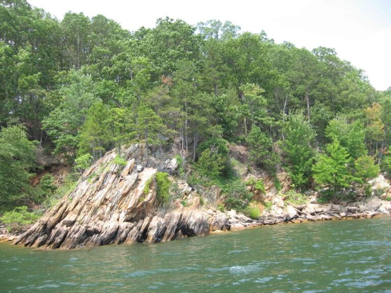
Photo: ted, CC BY 2.0
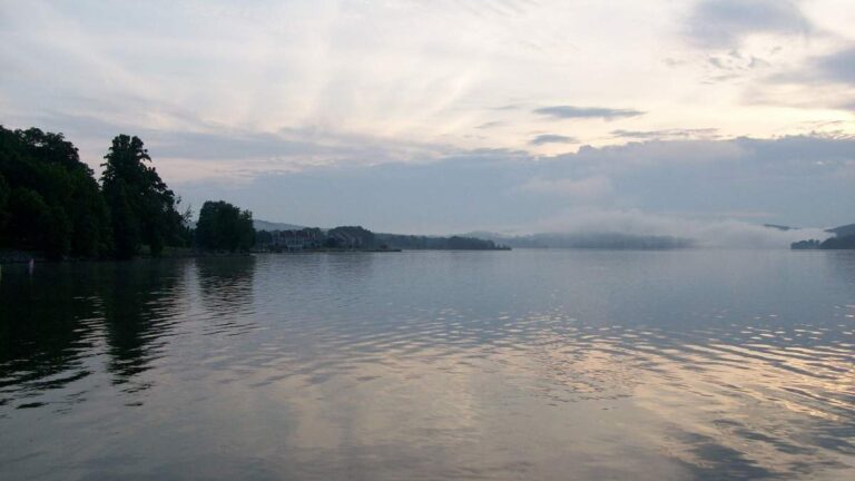
Photo: Virginia State Parks, CC BY 2.0
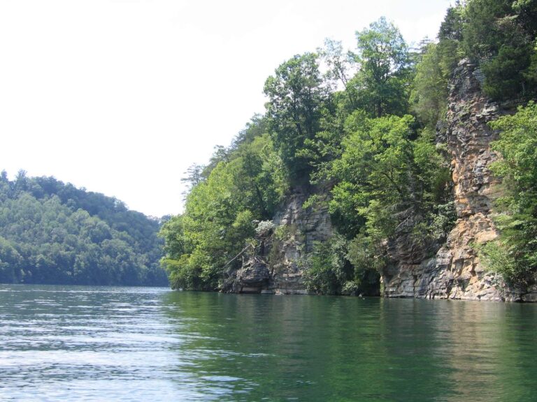
Photo: Jason Riedy, CC BY 2.0
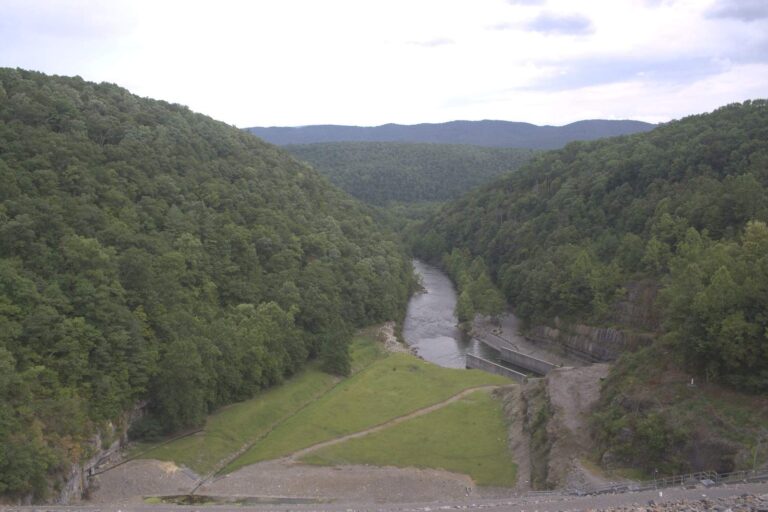
Photo: U.S. Army Corps of Engineers Norfolk District, CC BY 2.0
The Virginia rivers list, reader questions
How many Virginia streams have a page?
144 rivers, creeks and runs, each with a DWR access site, a USGS gauge, a trout reach, a digest rule or a DWR waterbody page.
Which ones have a DWR waterbody page?
35, and those pages quote DWR with a link back.
Which streams get stocked trout?
124 pages list DWR stocked trout reaches or stocking dates, with the category letter and its meaning.
Are wild trout streams listed?
53 pages carry reaches from the DWR cold water stream survey, with class and length; the rest are rows on their locality page.
Which streams have special trout rules?
30 are on the special regulation trout waters list: delayed harvest, catch and release, fly fishing only and similar sections.
How many Virginia stream pages carry USGS gauges?
53 river and creek pages.
Where do the tidal rivers go?
7 river pages fold in their tidal reach; other tidal rivers have pages under the coast section.
Why is a creek I fish missing?
It needs enough facts of its own first; until then it shows as a row on its county or city page.
Next stops after the Virginia rivers list
- Virginia waters A to Zevery lake, river, bay, locality, town and fish page in one list
- License and regulationsfees, exemptions and the creel and length table of the 2026 digest
- Saltwater rulesMarine Resources Commission limits as printed in the Administrative Code
- Special regulation watersthe lakes and rivers the digest gives their own line
- Special regulation trout watersdelayed harvest, catch and release and the Jackson tailwater
- Border watersKerr, Gaston, the New, the Potomac and South Holston
- Free Fishing Dayslicense-free dates DWR has announced
- State freshwater recordsthe DWR list as of 9-2-2025, weights and waters
- Trout stockingevery DWR stocking date back to 2023
- Trout fishingstocking categories, Heritage Day and wild trout classes
- Water levelsUSGS live flow, reservoir pools and tide stations
- Chesapeake Baythe bay, its sounds and the tidal rivers that feed it
- Boat rampsDWR boating access sites with a page each
- Fishing piersDWR lake piers and the Atlantic and bay piers
- Artificial reefsMarine Resources Commission reef sites with chart grids
- Bait and tackleshops and marinas grouped by DWR region number
- Guides and charterscharter captains and freshwater guides
- TournamentsCATT, BFL and Fishers of Men dates and results