Virginia Lake Levels, River Flows and Tides
Reservoir pools, live USGS flow and NOAA tide stations for Virginia.
 Angler pickPiscifun Viper X spinning reel50% OFFSale $39.99
Photo of Claytor Lake: Virginia State Parks, CC BY 2.0
Virginia reservoir, river and tide levels in one place
Three kinds of reading cover Virginia here. USGS stream and lake gauges print live through the site; seven reservoirs (Claytor Lake, John W. Flannagan Reservoir, John H. Kerr Reservoir (Buggs Island Lake), Lake Moomaw, Martinsville Reservoir (Smith River), North Fork of Pound Lake and Philpott Lake) show one dated pool reading each from the NOAA National Water Prediction Service; and NOAA’s Chesapeake and Atlantic water-level stations are linked, not read.
Smith Mountain, Leesville, Gaston and Lake Anna publish no reading in the feeds used, so none is printed for them.
Virginia reservoirs, last dated pool reading
| Reservoir | Operator | Pool | Reading time | NWS gauge |
|---|---|---|---|---|
| Claytor Lake | Appalachian Power (AEP) | 1845.7 ft | 2026-11-06 12:00:00 UTC | CLLV2 |
| John W. Flannagan Reservoir | USACE Huntington District | 1388.83 ft | 2026-11-06 19:30:00 UTC | FLAV2 |
| John H. Kerr Reservoir (Buggs Island Lake) | USACE Wilmington District | 287.65 ft | 2026-11-06 20:10:00 UTC | KERV2 |
| Lake Moomaw | USACE Norfolk District | 1565.38 ft | 2026-11-06 19:30:00 UTC | MOOV2 |
| Martinsville Reservoir (Smith River) | City of Martinsville | 695.26 ft | 2026-11-06 20:15:00 UTC | MTVV2 |
| North Fork of Pound Lake | USACE Huntington District | 1607.73 ft | 2026-11-06 19:30:00 UTC | POUV2 |
| Philpott Lake | USACE Wilmington District | 970.59 ft | 2026-11-06 20:10:00 UTC | PTTV2 |
Reservoir pool as reported through the NOAA National Water Prediction Service gauge page, read November 6, 2026 (one dated reading, not live; feet as published, datum not printed).
Live flow on Virginia's largest gauged rivers
| USGS gauge | Latest reading | Time (ET) |
|---|---|---|
| Roanoke River At Buggs Island, Va | 5.93 ft gage height | Nov 7 5:25 pm |
| James River Near Richmond, Va | 1,250 cfs, 3.55 ft gage height | Nov 7 4:30 pm |
| James River At Cartersville, Va | 1,300 cfs, 0.93 ft gage height | Nov 7 4:45 pm |
| James River At Scottsville, Va | 1,520 cfs, 3.26 ft gage height | Nov 7 5:15 pm |
US Geological Survey provisional data, retrieved Nov 7, 2026 5:34 pm ET. Provisional readings can be revised.
| USGS gauge | Latest reading | Time (ET) |
|---|---|---|
| Wellesley Lake At Dam At Short Pump, Va | 2.67 ft gage height | Nov 7 5:15 pm |
| Canterbury Lk At Tuckahoe Village, Va | 2.90 ft gage height | Nov 7 5:15 pm |
US Geological Survey provisional data, retrieved Nov 7, 2026 5:34 pm ET. Provisional readings can be revised.
USGS Water Services instantaneous values through the site plugin, live.
NOAA water-level stations on Virginia's coast and bay
| Station | ID | |
|---|---|---|
| Wachapreague | 8631044 | |
| Kiptopeke | 8632200 | |
| Dahlgren | 8635027 | |
| Lewisetta | 8635750 | |
| Windmill Point | 8636580 | |
| Yorktown USCG Training Center | 8637689 | |
| Sewells Point | 8638610 | |
| CBBT, Chesapeake Channel | 8638901 | |
| Money Point | 8639348 |
NOAA also publishes tide predictions for 132 Virginia stations; each coast page links the nearest ones.
NOAA CO-OPS Tides & Currents station list, read November 6, 2026.
Virginia Lake Levels, River Flows and Tides, with Virginia lakes and bays in pictures
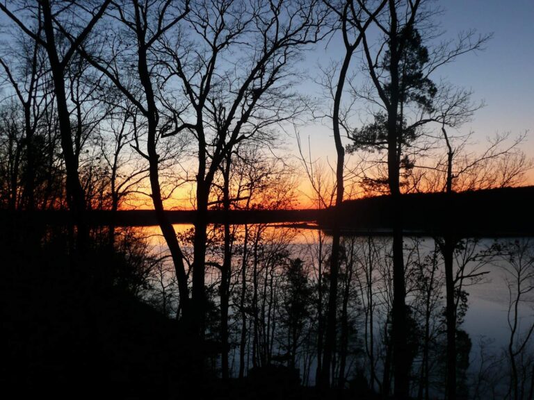
Photo: flyheatherfly, CC BY 2.0
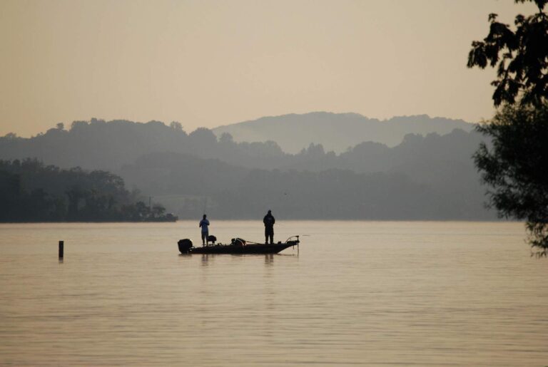
Photo: Virginia State Parks, CC BY 2.0
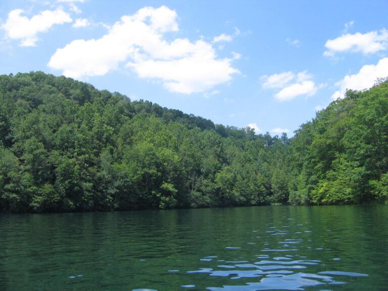
Photo: Jason Riedy, CC BY 2.0
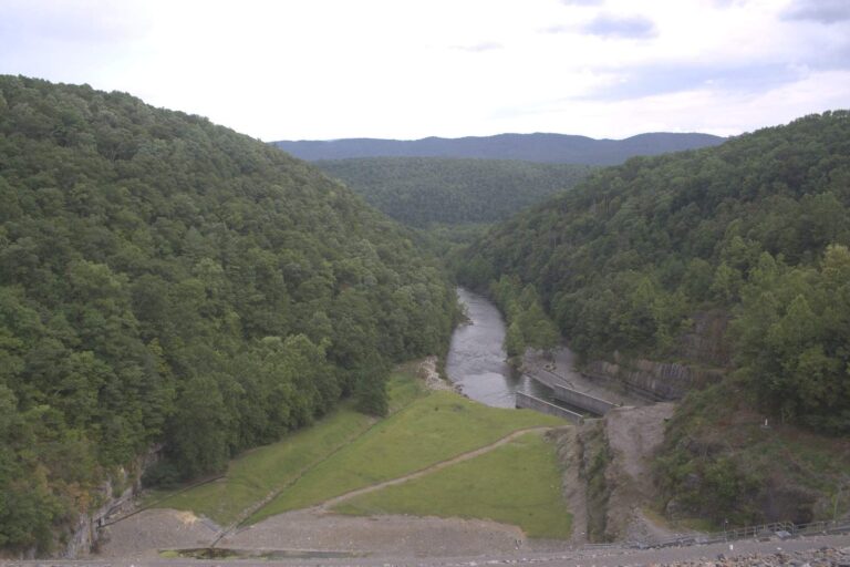
Photo: U.S. Army Corps of Engineers Norfolk District, CC BY 2.0
Virginia water level questions
Where are Virginia reservoir pool readings posted?
Here: seven reservoirs print a dated pool reading and USGS lake gauges print live on each lake page.
Which Virginia reservoirs have a pool reading here?
Claytor Lake (Appalachian Power (AEP)), John W. Flannagan Reservoir (USACE Huntington District), John H. Kerr Reservoir (Buggs Island Lake) (USACE Wilmington District), Lake Moomaw (USACE Norfolk District), Martinsville Reservoir (Smith River) (City of Martinsville), North Fork of Pound Lake (USACE Huntington District) and Philpott Lake (USACE Wilmington District).
Are the pool figures live?
No. Each is one dated NWS reading, read November 6, 2026; times are UTC.
Which pool sat highest on the last reading?
Claytor Lake at 1845.7 ft.
Is there a Smith Mountain Lake level?
Not in the feeds used here, so none is printed.
How many USGS gauges cover Virginia?
222 stream gauges and 9 lake gauges with live data.
Where do I find tides for the Chesapeake?
NOAA's 9 water-level stations and 132 prediction stations; coast pages link the closest.
How fresh are the Virginia readings on this page?
USGS values update through the day; the dated pool readings refresh when the page is rebuilt.