Lake Moomaw Fishing
A lake in Bath and Highland counties, 2,530 acres.
 Pick for troutPiscifun Carbon X ultralight spinning reel28% OFFSale $57.99
Photo: Will Fisher, CC BY-SA 2.0
The essentials of Lake Moomaw
In Bath and Highland counties, the lake known as Lake Moomaw covers 2,530 acres. Its DWR page puts the bottom 152 feet down at most. The closest Census place is Clifton Forge, about 12 miles away.
DWR boating access data shows 1 boat ramp on it. The pier layer adds 3 fishing piers. Statewide rows do not tell the whole story here; read its exception. Its pool level shows below as one dated NWS number.
Acres as stated on the Virginia DWR waterbody page, read November 6, 2026. Virginia DWR Public Fishing Lakes layer (outline, motor rule, region number), read November 6, 2026. Census 2023 places.
How DWR describes Lake Moomaw
Up in the Alleghany Highlands, nestled into a canyon once called Kincaid Gorge, lies Gathright Dam. This massive earthen structure backs up the Jackson River for over 12 miles, forming Lake Moomaw. A U. S. Army Corps of Engineers project, Lake Moomaw was constructed for downstream flow augmentation (water quality), flood control, and recreation. The idea for a lake above the City of Covington was hatched just after World War II, but the project was not completed until the early 1980’s.
These are DWR sentences on Lake Moomaw, cut to whole sentences.
Virginia DWR waterbody page (updated 11/17/2023), read November 6, 2026.
Motor rule and facilities at Lake Moomaw
- Boat motors (DWR layer)Unlimited HP
- Facilities DWR marksfee, parking, accessible facilities, picnic tables, grills, restrooms, fishing pier or platform, boat ramps, paddle access, camping, primitive camping only
- DWR region numberDWR Region 4
- Stocked trout lakecategory SR
Only the fields DWR fills in for Lake Moomaw appear here.
Virginia DWR Public Fishing Lakes layer (outline, motor rule, region number), read November 6, 2026. Virginia DWR waterbody page (updated 11/17/2023), read November 6, 2026. Virginia DWR Stocked Trout Reaches and Stocked Trout Lakes layers (category, species, heritage day), read November 6, 2026.
 For the trout herePiscifun Carbon XT ultralight spinning reel25% OFFSale $59.99
Species DWR lists for Lake Moomaw
The DWR fishing outlook grid for Lake Moomaw
| Species group | DWR rating |
|---|---|
| Bass | best bet |
| Catfish | present |
| Trout | best bet |
| Panfish | present |
For Lake Moomaw, species come from DWR pages and trout records rather than from catches.
Virginia DWR waterbody page (updated 11/17/2023), read November 6, 2026.
DWR-mapped launches on Lake Moomaw
| Site | Recorded attributes | Owner | Location (DWR) |
|---|---|---|---|
| Lake Moomaw (Coles Point) | concrete ramp (no dock), 1 ramp, barrier-free, freshwater | Alleghany County | From Covington, Rt 60 West (4); R on Rt 600 (9.5) |
Walk-in fishing on Lake Moomaw
- Bolar Flats Recreation Area on Lake Moomawfishing pier
- Coles Point on Lake Moomawfishing pier
- Johnson Spring fishing pier on Lake Moomawfishing pier
Virginia launches flanking Lake Moomaw
- Low Moor boat ramp on Jackson RiverJackson River, 12 miles southeast
- Clifton Forge boat ramp on Jackson RiverJackson River, 13 miles southeast
- Island Ford II boat ramp on Jackson RiverJackson River, 13 miles south
- Covington Access on Jackson RiverJackson River, 14 miles south
Virginia DWR Boating Access Locations layer (attributes as recorded; lanes, fees and hours are not in the layer), read November 6, 2026. Virginia DWR Fishing Piers layer (name and water only), read November 6, 2026.
Lake level numbers for Lake Moomaw
The operator pool at Lake Moomaw was captured once, at the time shown.
USACE Norfolk District pool as reported through the NOAA National Water Prediction Service gauge MOOV2, read November 6, 2026 (one dated reading, not live; feet as published, datum not printed).
Cooler math for Lake Moomaw under Virginia rules
| Species as printed | Applies to | Creel | Length |
|---|---|---|---|
| Largemouth, Smallmouth Bass | statewide | 5 per day in the aggregate (combined) | No statewide length limits |
| Alabama, Spotted Bass | statewide | No statewide daily limit | No statewide length limit |
| Landlocked Striped Bass and Landlocked Striped Bass X White Bass Hybrids | statewide | 4 per day in the aggregate | No fish less than 20 inches |
| Striped Bass | Anadromous (coastal) striped bass above the fall line in all coastal rivers of the Chesapeake Bay and Crane Lake (City of Suffolk) | Creel and length limits shall be as set by the Virginia Marine Resources Commission for recreational fishing in tidal waters | no length limit printed |
| Striped Bass | Striped bass in the Meherrin, Nottoway, Blackwater (Chowan Drainage), North Landing and Northwest rivers and their tributaries plus Back Bay | No possession | no length limit printed |
| Walleye, Saugeye | statewide | 5 per day in the aggregate | No walleye or saugeye less than 18 inches |
| Sauger | statewide | 2 per day | No statewide length limits |
| White Bass | statewide | 5 per day | No statewide length limits |
| Chain Pickerel and Northern Pike | statewide | 5 per day | No statewide length limits |
| Muskellunge | statewide | 1 per day | No muskellunge less than 40 inches |
| Bluegill (bream) and other sunfish excluding Crappie, Rock Bass (redeye) and Roanoke Bass | statewide | 50 per day in the aggregate (combined) | No statewide length limits |
| Crappie (black or white) | statewide | 25 per day in the aggregate (combined) | No statewide length limits |
| Rock Bass (redeye) | statewide | 25 per day in the aggregate with Roanoke bass | No statewide length limits |
| Roanoke Bass | statewide | 25 per day in the aggregate with rock bass | No statewide length limits |
| Perch (yellow and white) | statewide | No statewide daily limit | No statewide length limit |
| Trout | statewide | 6 per day | 7 inch minimum size |
| Channel, White, and Flathead | statewide | 20 per day | No length limits |
| Blue | statewide | 20 per day | No statewide length limits |
The 2026 statewide rows are the default on Lake Moomaw.
DWR page rule lines for Lake Moomaw
- Trout
- Two trout per day with a minimum size limit of 16 inches. Anglers are cautioned to handle undersized trout with care to avoid delayed mortality.
- Neither a trout license nor National Forest Stamp is required.
- Black bass
- Five bass in aggregate can be creeled daily. Bass under 12 inches long must be released immediately.
- Yellow Perch
- No size limit, 10 fish per day daily creel limit.
- Black Crappie and Rock bass
- There is no size limit on black crappie and rock bass at Lake Moomaw, but only 25 per angler may be taken daily of each species.
- Sunfish
- There is no size limit for bluegill, redear sunfish, redbreast sunfish, and pumpkinseed. However, only 50 in aggregate may be creeled daily per angler.
- Catfish
- There is no size limit for either channel catfish or yellow bullhead. Anglers may take 20 of each species per day.
- Chain pickerel
Virginia DWR waterbody page (updated 11/17/2023), read November 6, 2026.
Water-specific limits at Lake Moomaw
| Water as printed | Species | Rule as printed |
|---|---|---|
| Lake Moomaw | Largemouth, Smallmouth Bass | No largemouth or smallmouth bass less than 12 inches |
| Lake Moomaw | Perch (yellow and white) | 10 per day |
Water-specific exceptions as printed, 2026 Freshwater Fishing in Virginia digest (eRegulations, linked from the Virginia DWR regulations page), read November 6, 2026.
A Virginia freshwater license is $23 a year for residents and $47 for nonresidents 16 and older.
Statewide creel and length limits as printed (page updated August 17, 2026), 2026 Freshwater Fishing in Virginia digest (eRegulations, linked from the Virginia DWR regulations page), read November 6, 2026. Virginia license fees in the 2026 Freshwater Fishing in Virginia digest (licenses run one year from purchase unless noted), read November 6, 2026.
Virginia club and trail stops on Lake Moomaw
Every sourced event on Lake Moomaw is on its tournament page.
Lake Moomaw among nearby lakes
Next to Lake Moomaw, Douthat Lake is the giant of the group at 50 acres.
| Water | Distance | Size | DWR ramps | Trout stocking dates |
|---|---|---|---|---|
| Lake Moomaw | this water | 2,530 acres | 1 | 0 |
| Douthat Lake | 10 miles southeast | 50 acres | 0 | 106 |
| Clifton Forge Reservoir | 10 miles southeast | 9 acres | 0 | 31 |
| Bath County Recreation Ponds | 17 miles northeast | 45 acres | 0 | 0 |
| Lake Robertson | 22 miles southeast | 31 acres | 0 | 0 |
| Cave Mountain Lake | 36 miles southeast | 2 acres (DWR outline area) | 0 | 12 |
Virginia DWR waterbody pages and Public Fishing Lakes layer, NHD outline areas, DWR Boating Access Locations and stocking schedule; read November 6, 2026.
Just off Lake Moomaw, by road
Another Virginia impoundment after Lake Moomaw
- Douthat Lake10 miles southeast
- Clifton Forge Reservoir10 miles southeast
- Bath County Recreation Ponds17 miles northeast
- Lake Robertson22 miles southeast
- Cave Mountain Lake36 miles southeast
Places to stay near Lake Moomaw
- Clifton Forge12 miles, Alleghany County
- Covington13 miles, City of Covington
- Lexington31 miles, City of Lexington
- Buchanan34 miles, Botetourt County
The Virginia counties and cities along Lake Moomaw
- Bath Countycounty seat Warm Springs
- Highland Countycounty seat Monterey
Reels from Piscifun for the next trip to Lake Moomaw


Piscifun and Amazon links are affiliate links; the site earns a commission on qualifying purchases.
Lakes, tidewater and stream riffles close to Lake Moomaw, in pictures
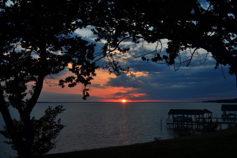
Photo: Tony Alter, CC BY 2.0
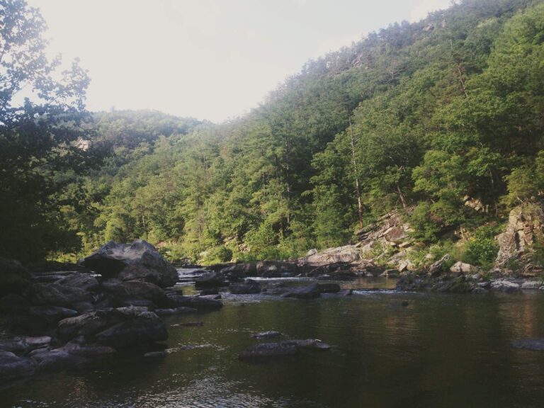
Photo: Mackenzie Brooks, CC BY-SA 2.0
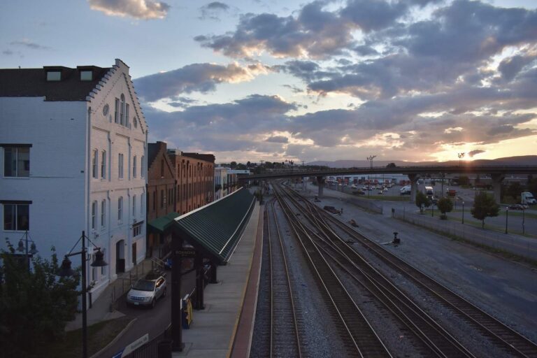
Photo: Matt Walter, CC BY-SA 2.0
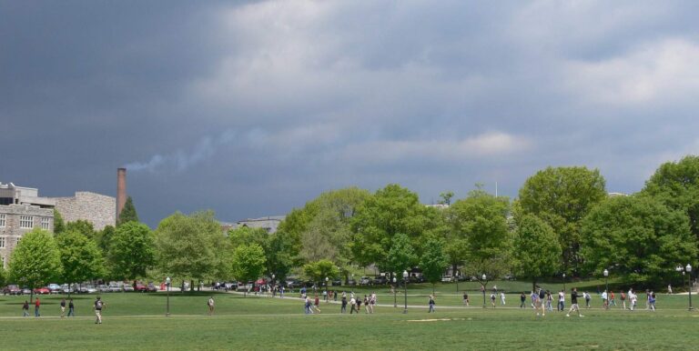
Photo: Christopher Bowns, CC BY-SA 2.0
Lake Moomaw, asked and answered for Virginia anglers
How do I find Lake Moomaw on a Virginia map?
Point the map at Bath and Highland counties, about 12 miles from Clifton Forge.
How many acres is Lake Moomaw?
Size on record: 2,530 acres; DWR lists 152 feet as its deepest water.
Does DWR keep a public launch on Lake Moomaw?
Use Lake Moomaw (Coles Point), the single DWR launch.
What swims in Lake Moomaw?
The DWR list includes alewife, black crappie, bluegill, brook trout, brown trout, bullhead and chain pickerel.
How many largemouth can go home from Lake Moomaw?
The statewide digest row for largemouth and smallmouth bass reads: 5 per day in the aggregate (combined); No statewide length limits. Its own digest exception may change that; see the limits band.
What does DWR charge to fish Lake Moomaw?
A Virginia freshwater license is $23 a year for residents and $47 for nonresidents 16 and older. Anyone not yet 16 is excused from buying one.
Where can bank anglers fish Lake Moomaw?
Start at Bolar Flats Recreation Area on Lake Moomaw; DWR records 3 fishing piers.
What tackle store is handiest for Lake Moomaw trips?
No listed shop is near.
What pool level did Lake Moomaw last report?
The last pool reading we collected was 1565.38 feet at 2026-11-06 19:30:00 UTC, via the NWS gauge page; it is not live.
Load the cooler for Lake Moomaw
Each 2026 Virginia fee and creel row is linked below.