Fishing near Lynchburg, Virginia
An independent city; the 2020 Census counted 79,009 residents.
- 14 milesto nearest lake page
- 1launch nearby
 Pick for troutPiscifun Carbon X ultralight spinning reel28% OFFSale $57.99
Photo: Nannette Turner, CC BY 2.0
Water around Lynchburg
At the last Census the independent city of Lynchburg counted 79,009 residents. Some 14 miles northwest lies Otter Lake, nearer than any other lake page. Of the nearby lakes, Stonehouse Lake is broadest at 41 acres. Boats go in at Joshua Falls boat ramp on James River (Upper and Middle), about 9 miles away.
The closest trout reach with a page is Reed Creek, 17 miles out.
Census 2020 population and Gazetteer point for Lynchburg; miles are straight lines.
 For the trout herePiscifun Carbon XT ultralight spinning reel25% OFFSale $59.99
Lake pages closest to Lynchburg
| Lake | Distance | Area | Kind | DWR launches | Fish DWR names |
|---|---|---|---|---|---|
| Otter Lake | 14 miles northwest | 7 acres | lake | 0 | bluegill, largemouth bass, rock bass |
| Thrasher Lake | 19 miles north | 36 acres | reservoir | 1 | black crappie, bluegill, crappie |
| Liberty Lake | 19 miles west | 2 acres | lake | 0 | brook trout, brown trout, rainbow trout |
| Stonehouse Lake | 20 miles north | 41 acres | reservoir | 1 | black crappie, bluegill, crappie |
| Cave Mountain Lake | 22 miles northwest | 2 acres (DWR outline area) | lake | 0 | brook trout, brown trout, rainbow trout |
| Abbott Lake | 23 miles west | 24 acres | reservoir | 0 | bluegill, bullhead, smallmouth bass |
Acres are the NHD outline area of the mapped lake (USGS National Hydrography Dataset), not a DWR figure. Virginia DWR Boating Access Locations layer (attributes as recorded; lanes, fees and hours are not in the layer), read November 6, 2026.
Lynchburg area streams
Cold water streams handy to Lynchburg
- Reed Creek17 miles, 1 stocked trout reach, wild trout survey class II, 5.8 km, 1 USGS gauge
- Rocky Row Run18 miles, 1 stocked trout reach, wild trout survey class VI, 4.5 km
- Maury River21 miles, 1 stocked trout reach, 2 DWR launches, 2 USGS gauges
- Little Irish Creek21 miles, 3 stocked trout reaches, wild trout survey class III, 8.9 km
- North Creek22 miles, 2 stocked trout reaches
USGS gauges near Lynchburg
| USGS gauge | Latest reading | Time (ET) |
|---|---|---|
| Harris Creek Below Route 130 Near Monroe, Va | 4 cfs, 3.32 ft gage height | Nov 7 6:00 pm |
| James River At Holcomb Rock, Va | 704 cfs, 4.16 ft gage height | Nov 7 5:45 pm |
| James River At Blue Ridge Pkwy Nr Big Island, Va | 644 cfs, 4.01 ft gage height | Nov 7 5:45 pm |
US Geological Survey provisional data, retrieved Nov 7, 2026 6:32 pm ET. Provisional readings can be revised.
DWR waterbody pages, stocked trout reaches and wild trout survey layers, and USGS gauges (live readings); read November 6, 2026.
The Lynchburg access map
- Joshua Falls boat ramp on James River (Upper and Middle)James River (Upper and Middle), concrete ramp (no dock), barrier-free, freshwater, 9 miles
Virginia DWR Boating Access Locations layer (attributes as recorded; lanes, fees and hours are not in the layer), read November 6, 2026.
Gear and charters by Lynchburg
Where Lynchburg anglers buy bloodworms and minnows
- Angler's Lanefly shop, Forest, 3 miles
- Sportsman's Warehouse, 4026 Wards Rd Ste Dsporting goods store, Lynchburg, 4 miles
Guides and charters near Lynchburg
- Matt Miles Fly Fishing, LLCcharter, Lynchburg, (434) 238-2720
Yellow Pages and chain store listings (miles only for shops with an exact point); guide and charter business listings; read November 6, 2026.
The record book near Lynchburg
| Species | Weight as printed | Water | Year |
|---|---|---|---|
| Striped Bass | 53 lbs. 7 oz. | Leesville Reservoir | 2000 |
| Black Crappie | 4 lbs. 14 oz. | Lake Conner | 1967 |
| Largemouth Bass | 16 lbs. 4 oz. | Lake Conner | 1985 |
State Record Freshwater Fish as of 9-2-2025 (keeper: Virginia DWR (State Record Freshwater Fish list as of 9-2-2025); angler names left off here), read November 6, 2026. Waters within 40 miles.
Digest limits on a day trip from Lynchburg
The freshwater license runs $23 a year at resident rates and $47 at nonresident rates.
| Species | Where it applies | Creel | Length |
|---|---|---|---|
| Largemouth, Smallmouth Bass | statewide | 5 per day in the aggregate (combined) | No statewide length limits |
| Alabama, Spotted Bass | statewide | No statewide daily limit | No statewide length limit |
| Landlocked Striped Bass and Landlocked Striped Bass X White Bass Hybrids | statewide | 4 per day in the aggregate | No fish less than 20 inches |
| Striped Bass | Anadromous (coastal) striped bass above the fall line in all coastal rivers of the Chesapeake Bay and Crane Lake (City of Suffolk) | Creel and length limits shall be as set by the Virginia Marine Resources Commission for recreational fishing in tidal waters | no length limit printed |
| Striped Bass | Striped bass in the Meherrin, Nottoway, Blackwater (Chowan Drainage), North Landing and Northwest rivers and their tributaries plus Back Bay | No possession | no length limit printed |
| Walleye, Saugeye | statewide | 5 per day in the aggregate | No walleye or saugeye less than 18 inches |
| Sauger | statewide | 2 per day | No statewide length limits |
| White Bass | statewide | 5 per day | No statewide length limits |
| Chain Pickerel and Northern Pike | statewide | 5 per day | No statewide length limits |
| Muskellunge | statewide | 1 per day | No muskellunge less than 40 inches |
| Bluegill (bream) and other sunfish excluding Crappie, Rock Bass (redeye) and Roanoke Bass | statewide | 50 per day in the aggregate (combined) | No statewide length limits |
| Crappie (black or white) | statewide | 25 per day in the aggregate (combined) | No statewide length limits |
| Rock Bass (redeye) | statewide | 25 per day in the aggregate with Roanoke bass | No statewide length limits |
| Roanoke Bass | statewide | 25 per day in the aggregate with rock bass | No statewide length limits |
| Perch (yellow and white) | statewide | No statewide daily limit | No statewide length limit |
| Trout | statewide | 6 per day | 7 inch minimum size |
| Channel, White, and Flathead | statewide | 20 per day | No length limits |
| Blue | statewide | 20 per day | No statewide length limits |
| Hickory Shad | Above and below the fall line in all coastal rivers of the Chesapeake Bay and their tributaries | Creel and length limits shall be the same as those set by the Virginia Marine Resources Comm. in tidal rivers | no length limit printed |
| Hickory Shad | Meherrin River below Emporia Dam, Nottoway River, Blackwater River (Chowan Drainage), North Landing and Northwest rivers, and their tributaries plus Back Bay | 10 per day | No length limits |
| Anadromous (coastal) Alewife and Blueback Herring | Above and below the fall line in all coastal rivers of the Chesapeake Bay and their tributaries | Creel and length limits shall be the same as those set by the Virginia Marine Resources Comm. for these species in tidal rivers | no length limit printed |
| Other native or naturalized nongame fish | statewide | 20 per day | No length limits |
| Threatened and endangered species | statewide | No possession | no length limit printed |
| Grass Carp | statewide | No statewide daily limit | No statewide length limit |
| Longnose Gar | statewide | July 1 to April 14: 5 per day | April 15 to June 30: 1 per day No statewide length limits |
| Bowfin | statewide | July 1 to April 14: 5 per day | April 15 to June 30: 1 per day No statewide length limits |
| Northern Snakehead | statewide | No statewide daily limit | No statewide length limit |
| Spotted Sea Trout | Back Bay and tributaries, including Brinson’s Inlet Lake (Lake Tecumseh), and the North Landing River and its tributaries | 4 per day, no fish less than 14 inches | no length limit printed |
| Red Drum | Back Bay and tributaries, including Brinson’s Inlet Lake (Lake Tecumseh), and the North Landing River and its tributaries | 1 per day between 18 and 27 inches | no length limit printed |
| Grey Trout | Back Bay and tributaries, including Brinson’s Inlet Lake (Lake Tecumseh), and the North Landing River and its tributaries | 1 per day, no fish less than 12 inches | no length limit printed |
Statewide creel and length limits as printed (page updated August 17, 2026), 2026 Freshwater Fishing in Virginia digest (eRegulations, linked from the Virginia DWR regulations page), read November 6, 2026. Lake and river pages print any water exception. Virginia license fees in the 2026 Freshwater Fishing in Virginia digest (licenses run one year from purchase unless noted), read November 6, 2026.
Leaving Lynchburg
Town pages close to Lynchburg
- Forest5 miles
- Madison Heights6 miles
- Timberlake6 miles
- Amherst15 miles
- Bedford18 miles
The local government page around Lynchburg
- City of Lynchburgindependent city
Piscifun kit lined up for a day on Lynchburg


Piscifun and Amazon links are affiliate links; the site earns a commission on qualifying purchases.
Old Dominion water near Lynchburg, on camera
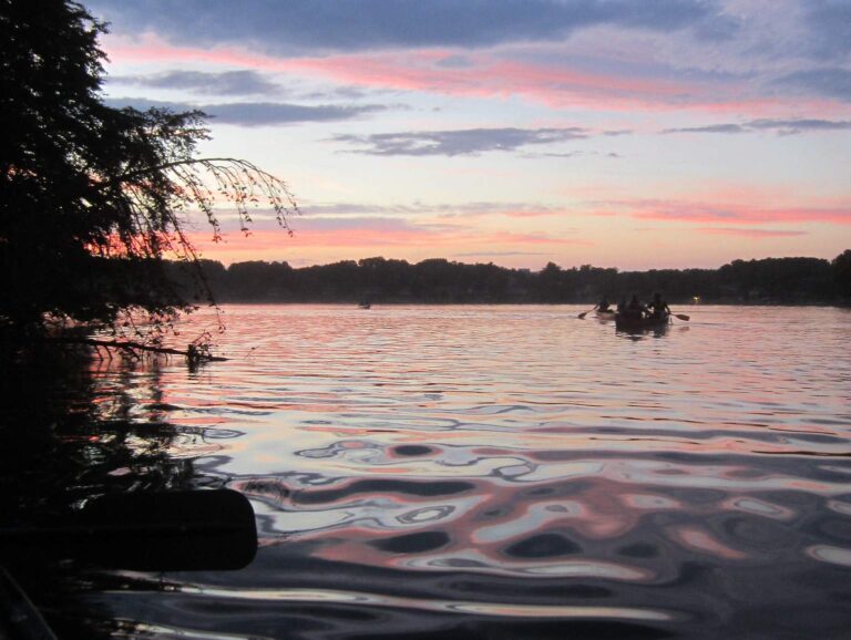
Photo: Virginia State Parks, CC BY 2.0
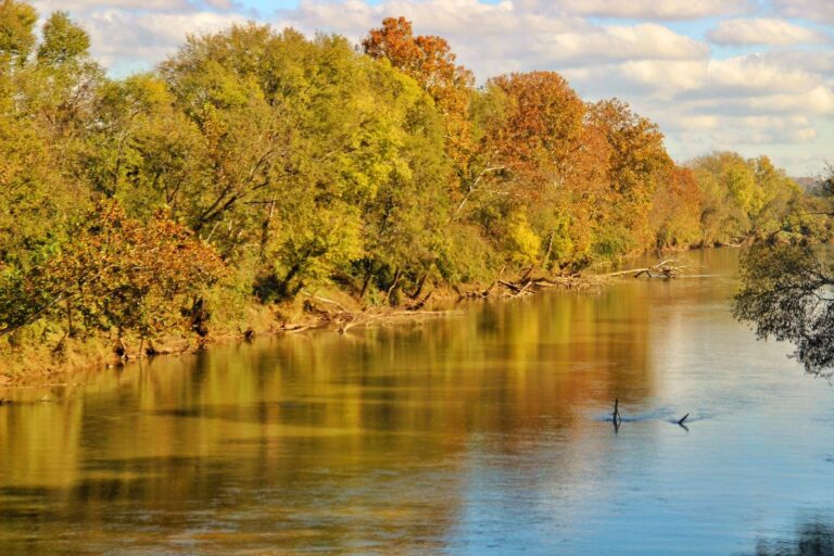
Photo: Virginia State Parks, CC BY 2.0
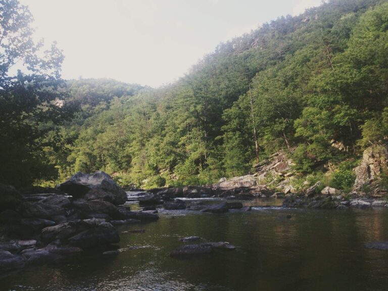
Photo: Mackenzie Brooks, CC BY-SA 2.0
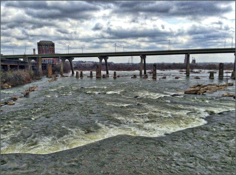
Photo: Ron Cogswell, CC BY 2.0
Questions on water around Lynchburg
Which lake page here sits closest to Lynchburg?
Otter Lake, 14 miles northwest.
Where do Lynchburg anglers put a trailered boat in?
It is Joshua Falls boat ramp on James River (Upper and Middle), some 9 miles off.
Which DWR fishing pier is a short drive from Lynchburg?
DWR piers all lie beyond 15 miles of town.
Where does a visitor in Lynchburg pick up bloodworms or minnows?
Angler's Lane is listed 3 miles from town.
Which Virginia locality holds Lynchburg?
None; it is the independent city with the City of Lynchburg page.
How much is a yearly Virginia license for anglers visiting Lynchburg?
Someone visiting from another state pays $47 for the nonresident freshwater year, or $8 for a short-term option DWR lists.
What wide reservoir can a Lynchburg angler drive to?
Stonehouse Lake covers 41 acres and lies 20 miles off.
Which town page is nearest to Lynchburg?
Going by miles, Forest (5 miles), Madison Heights (6 miles) and Timberlake (6 miles) come first.
Do Virginia record books credit water near Lynchburg?
Striped Bass, 53 lbs. 7 oz., 2000, from Leesville Reservoir.
Do mountain trout swim within a drive of Lynchburg?
Reed Creek, 17 miles away (1 stocked trout reach, wild trout survey class II, 5.8 km, 1 USGS gauge).
Plan a Virginia fishing trip from Lynchburg
River pages carry launches and USGS gauges.