Fishing near Dale City, Virginia
In Prince William County; the 2020 Census counted 72,088 residents.
- 5 milesto nearest lake page
- 1launch nearby
 Pick for troutPiscifun Carbon X ultralight spinning reel28% OFFSale $57.99
Photo of Burke Lake: Blake Patterson, CC BY 2.0
Dale City for anglers, briefly
Inside Prince William County, the Census-designated place of Dale City numbered 72,088 residents in 2020. Drive roughly 5 miles north and you reach Occoquan Reservoir, the closest lake page. A 8 miles drive puts a trailer at Lake Burke boat ramp.
Tidal water starts 9 miles away at Little Creek. Some 17 miles away, Holmes Run holds trout reaches. Without a boat, head to Leesylvania Park on Potomac River, some 7 miles off.
Census 2020 population and Gazetteer point for Dale City; miles are straight lines.
 For the trout herePiscifun Carbon XT ultralight spinning reel25% OFFSale $59.99
Lakes by miles from Dale City
| Lake | Distance | Area | Kind | DWR launches | Fish DWR names |
|---|---|---|---|---|---|
| Occoquan Reservoir | 5 miles north | 2,100 acres | reservoir | 0 | bluegill, channel catfish, crappie |
| Locust Shade Park | 8 miles south | 3 acres (DWR outline area) | lake | 0 | bluegill, channel catfish, largemouth bass |
| Burke Lake | 8 miles north | 218 acres | lake | 1 | black crappie, blue catfish, bluegill |
| Cook Lake | 17 miles northeast | 3 acres (DWR outline area) | lake | 0 | channel catfish, brown trout, rainbow trout |
| Abel Reservoir | 19 miles southwest | 185 acres | reservoir | 0 | bluegill, chain pickerel, channel catfish |
| Lake Curtis | 19 miles southwest | 91 acres | lake | 1 | bluegill, channel catfish, largemouth bass |
Acres are the NHD outline area of the mapped lake (USGS National Hydrography Dataset), not a DWR figure. Virginia DWR Boating Access Locations layer (attributes as recorded; lanes, fees and hours are not in the layer), read November 6, 2026.
Brackish water near Dale City
- Little Creekinlet, 9 miles
USGS GNIS names and points; Virginia DWR Boating Access Locations layer (attributes as recorded; lanes, fees and hours are not in the layer), read November 6, 2026.
Streams within reach of Dale City
- Accotink Creek15 miles, 1 stocked trout reach, 2 USGS gauges
Trout streams near Dale City
- Holmes Run17 miles, 1 stocked trout reach
Live streamflow by Dale City
| USGS gauge | Latest reading | Time (ET) |
|---|---|---|
| S F Quantico Creek Near Independent Hill, Va | 1 cfs, 2.84 ft gage height | Nov 8 6:15 pm |
| Accotink Creek At Keene Mill Rd At Springfield, Va | 3 cfs, 3.20 ft gage height | Nov 8 5:50 pm |
| Aquia Creek Near Garrisonville, Va | 2 cfs, 0.47 ft gage height | Nov 8 5:30 pm |
US Geological Survey provisional data, retrieved Nov 8, 2026 6:33 pm ET. Provisional readings can be revised.
DWR waterbody pages, stocked trout reaches and wild trout survey layers, and USGS gauges (live readings); read November 6, 2026.
Where to launch near Dale City, on a map
- Lake Burke boat rampBurke Lake, concrete ramp (no dock), 1 ramp, barrier-free, freshwater, 8 miles
Pier rails reachable from Dale City
- Leesylvania Park on Potomac Riverfishing pier, 7 miles
- Locust Shade Parkfishing pier, 8 miles
- Lake Burke fishing pierfishing pier, 8 miles
Virginia DWR Boating Access Locations layer (attributes as recorded; lanes, fees and hours are not in the layer), read November 6, 2026.
Stocking the cooler near Dale City
The closest tackle listings to Dale City
- Hampton's Landing Marinamarina, Woodbridge, 5 miles
- E Z Cruz Marinamarina, Woodbridge, 5 miles
- Pilot House Marina-Boat Salesmarina, Woodbridge, 5 miles
- Tyme N' Tyde Marinamarina, Woodbridge, 5 miles
- Harbour Viewmarina, Woodbridge, 6 miles
- Belmont Bay Harbor Marinamarina, Woodbridge, 6 miles
- Captain John S Beach Marinamarina, Lorton, 6 miles
- Marina Maidsmarina, Springfield, 13 miles
Guide listings within reach of Dale City
- Scott Capt Captcharter, Woodbridge, (703) 670-5716
Yellow Pages and chain store listings (miles only for shops with an exact point); guide and charter business listings; read November 6, 2026.
Heavy Virginia catches near Dale City
| Species | Weight as printed | Water | Year |
|---|---|---|---|
| Northern Pike | 31 lbs. 4 oz. | Motts Run Reservoir | 1994 |
State Record Freshwater Fish as of 9-2-2025 (keeper: Virginia DWR (State Record Freshwater Fish list as of 9-2-2025); angler names left off here), read November 6, 2026. Waters within 40 miles.
Fish a Dale City angler can keep
DWR sells the annual freshwater license for $23 to residents and $47 to anglers who live elsewhere. Fishing the salt side means a $17.50 resident or $25 nonresident saltwater license.
| Species | Where it applies | Creel | Length |
|---|---|---|---|
| Largemouth, Smallmouth Bass | statewide | 5 per day in the aggregate (combined) | No statewide length limits |
| Alabama, Spotted Bass | statewide | No statewide daily limit | No statewide length limit |
| Landlocked Striped Bass and Landlocked Striped Bass X White Bass Hybrids | statewide | 4 per day in the aggregate | No fish less than 20 inches |
| Striped Bass | Anadromous (coastal) striped bass above the fall line in all coastal rivers of the Chesapeake Bay and Crane Lake (City of Suffolk) | Creel and length limits shall be as set by the Virginia Marine Resources Commission for recreational fishing in tidal waters | no length limit printed |
| Striped Bass | Striped bass in the Meherrin, Nottoway, Blackwater (Chowan Drainage), North Landing and Northwest rivers and their tributaries plus Back Bay | No possession | no length limit printed |
| Walleye, Saugeye | statewide | 5 per day in the aggregate | No walleye or saugeye less than 18 inches |
| Sauger | statewide | 2 per day | No statewide length limits |
| White Bass | statewide | 5 per day | No statewide length limits |
| Chain Pickerel and Northern Pike | statewide | 5 per day | No statewide length limits |
| Muskellunge | statewide | 1 per day | No muskellunge less than 40 inches |
| Bluegill (bream) and other sunfish excluding Crappie, Rock Bass (redeye) and Roanoke Bass | statewide | 50 per day in the aggregate (combined) | No statewide length limits |
| Crappie (black or white) | statewide | 25 per day in the aggregate (combined) | No statewide length limits |
| Rock Bass (redeye) | statewide | 25 per day in the aggregate with Roanoke bass | No statewide length limits |
| Roanoke Bass | statewide | 25 per day in the aggregate with rock bass | No statewide length limits |
| Perch (yellow and white) | statewide | No statewide daily limit | No statewide length limit |
| Trout | statewide | 6 per day | 7 inch minimum size |
| Channel, White, and Flathead | statewide | 20 per day | No length limits |
| Blue | statewide | 20 per day | No statewide length limits |
| Hickory Shad | Above and below the fall line in all coastal rivers of the Chesapeake Bay and their tributaries | Creel and length limits shall be the same as those set by the Virginia Marine Resources Comm. in tidal rivers | no length limit printed |
| Hickory Shad | Meherrin River below Emporia Dam, Nottoway River, Blackwater River (Chowan Drainage), North Landing and Northwest rivers, and their tributaries plus Back Bay | 10 per day | No length limits |
| Anadromous (coastal) Alewife and Blueback Herring | Above and below the fall line in all coastal rivers of the Chesapeake Bay and their tributaries | Creel and length limits shall be the same as those set by the Virginia Marine Resources Comm. for these species in tidal rivers | no length limit printed |
| Other native or naturalized nongame fish | statewide | 20 per day | No length limits |
| Threatened and endangered species | statewide | No possession | no length limit printed |
| Grass Carp | statewide | No statewide daily limit | No statewide length limit |
| Longnose Gar | statewide | July 1 to April 14: 5 per day | April 15 to June 30: 1 per day No statewide length limits |
| Bowfin | statewide | July 1 to April 14: 5 per day | April 15 to June 30: 1 per day No statewide length limits |
| Northern Snakehead | statewide | No statewide daily limit | No statewide length limit |
| Spotted Sea Trout | Back Bay and tributaries, including Brinson’s Inlet Lake (Lake Tecumseh), and the North Landing River and its tributaries | 4 per day, no fish less than 14 inches | no length limit printed |
| Red Drum | Back Bay and tributaries, including Brinson’s Inlet Lake (Lake Tecumseh), and the North Landing River and its tributaries | 1 per day between 18 and 27 inches | no length limit printed |
| Grey Trout | Back Bay and tributaries, including Brinson’s Inlet Lake (Lake Tecumseh), and the North Landing River and its tributaries | 1 per day, no fish less than 12 inches | no length limit printed |
Marine creel and size rows by Dale City
| Species | Area | Size | Bag | Season | VAC section |
|---|---|---|---|---|---|
| Striped bass | Chesapeake Bay and its tributaries (spring/summer) | 19 in minimum, 24 in maximum | 1 | May 16 through June 15 | 4VAC20-252-80 |
| Striped bass | Chesapeake Bay and its tributaries (fall) | 19 in minimum, 24 in maximum | 1 | October 4 through December 31 | 4VAC20-252-90 |
| Striped bass | Potomac River tributaries | 19 in minimum, 24 in maximum | 1 | May 16 through July 6 and August 21 through December 31 | 4VAC20-252-100 |
| Striped bass | Coastal area | 28 in minimum, 31 in maximum | 1 | January 1 through March 31 and May 16 through December 31 | 4VAC20-252-110 |
| Striped bass | All Virginia waters | not stated | not stated | not stated | 4VAC20-252-50 |
| Speckled trout | Virginia tidal waters | 14 in minimum | 5 | Closed April 1, 2026 through June 30, 2026 | 4VAC20-280-30 |
| Black drum | Virginia tidal waters | 16 in minimum | 1 | not stated | 4VAC20-320-40 |
| Grey trout (weakfish) | Virginia tidal waters | 12 in minimum | 1 | not stated | 4VAC20-380-60 |
| Bluefish | Virginia tidal waters | not stated | 5 | not stated | 4VAC20-450-20 |
| Sharks (recreationally permitted) | Vessel: one per trip per vessel; shore angler: one per calendar day | 54 in minimum | 1 | not stated | 4VAC20-490-40 |
| Cobia | Virginia tidal waters | 43 in minimum | 1 | June 15 through September 20 | 4VAC20-510-20 |
| Amberjack | Virginia tidal waters | 32 in minimum | 2 | not stated | 4VAC20-510-20 |
Statewide creel and length limits as printed (page updated August 17, 2026), 2026 Freshwater Fishing in Virginia digest (eRegulations, linked from the Virginia DWR regulations page), read November 6, 2026. Lake and river pages print any water exception. Virginia Administrative Code, Title 4 Agency 20 (Marine Resources Commission) on law.lis.virginia.gov, as of November 6, 2026 (VMRC rules change by emergency order; check the VMRC regulations page before keeping fish). Virginia license fees in the 2026 Freshwater Fishing in Virginia digest (licenses run one year from purchase unless noted), read November 6, 2026.
Past the edges of Dale City
Other Virginia bases by Dale City
- Montclair2 miles
- Potomac Mills3 miles
- County Center3 miles
- Lake Ridge3 miles
- Independent Hill4 miles
Where Dale City sits on the locality list
- Prince William Countyseat: Manassas
Piscifun spinning gear for a day out on Dale City


Piscifun and Amazon links are affiliate links; the site earns a commission on qualifying purchases.
Shorelines around Dale City through a camera
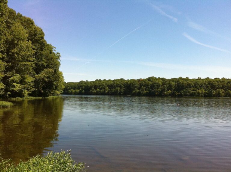
Photo: Blake Patterson, CC BY 2.0
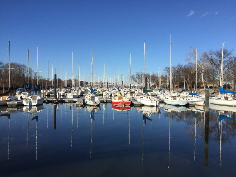
Photo: Judy Gallagher, CC BY 2.0
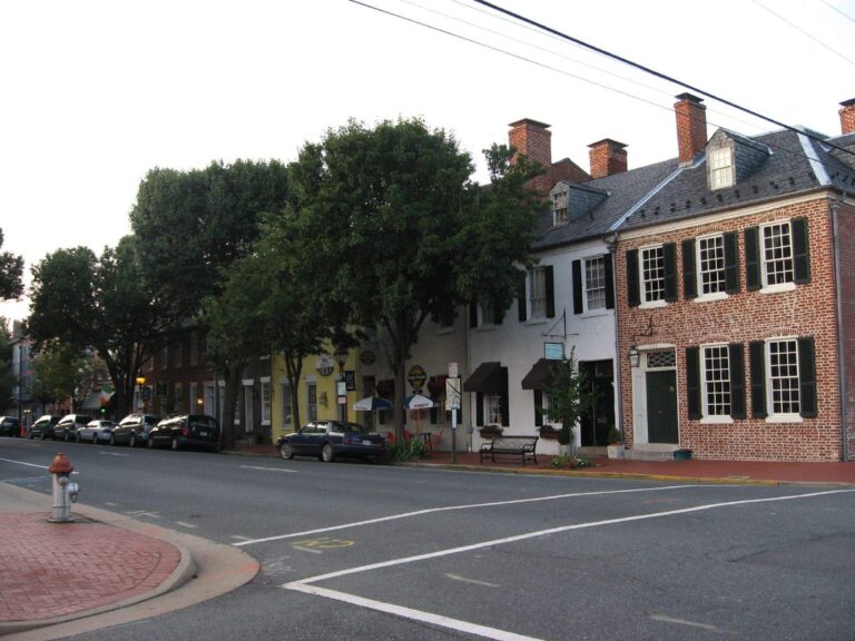
Photo: Ken Lund, CC BY-SA 2.0

Photo: U.S. Fish and Wildlife Service Northeast Region, Public domain
Common questions for a Dale City trip
What is the closest Virginia lake page to Dale City?
Occoquan Reservoir, 5 miles north.
Which recorded launch is the quickest run from Dale City?
About 8 miles to Lake Burke boat ramp.
Where can Dale City anglers fish with no boat?
Leesylvania Park on Potomac River is nearest, 7 miles away.
What listed tackle store sits nearest Dale City?
Hampton's Landing Marina is listed 5 miles from town.
Which locality page covers Dale City?
It lies in Prince William County.
How much does a nonresident spend on a license to fish by Dale City?
The DWR nonresident freshwater license costs $47 for the year, or $8 for a short-term option DWR lists. Bay trips add a saltwater license.
Which impoundment close to Dale City spreads widest?
Occoquan Reservoir covers 2,100 acres and lies 5 miles off.
What other Virginia towns lie a short drive from Dale City?
Nearby towns are Montclair (2 miles), Potomac Mills (3 miles) and County Center (3 miles).
Has a Virginia record been landed in water by Dale City?
Northern Pike, 31 lbs. 4 oz., 1994, from Motts Run Reservoir.
How far is tidal water from Dale City?
Little Creek, 9 miles away.
Does stocked or wild trout water lie near Dale City?
Holmes Run, 17 miles away (1 stocked trout reach).
Pick your water near Dale City
Lake pages list launches, DWR notes and exceptions.