Pungoteague Creek Fishing
A Tidewater tidal creek in Accomack County.
 Pick for troutPiscifun Carbon X ultralight spinning reel28% OFFSale $57.99
Photo of Eastern Shore of Virginia: U.S. Fish and Wildlife Service Northeast Region, Public domain
Pungoteague Creek in brief
The federal names map lists Pungoteague Creek as a tidal creek in Accomack County, on the Chesapeake Bay side. Onancock is the closest Tidewater town, about 7 miles away.
1 saltwater launch serve it on DWR records. There are 9 artificial reefs within 25 miles, per the VMRC guide. NOAA runs 2 water-level stations in range. VMRC rules and a saltwater license cover it.
USGS GNIS named feature 1472868; Virginia DWR Boating Access Locations; NOAA CO-OPS; read November 6, 2026.
Ramps that reach Pungoteague Creek
| Site | Recorded attributes | Owner | Location (DWR) |
|---|---|---|---|
| Harborton boat ramp on Pungoteague Creek | dock and ramp, 2 ramps, barrier-free, saltwater | Accomack County | From Pungoteague, West on Rt.180 (3) to Harborton. Access at end of Rt. 180 |
Virginia DWR Boating Access Locations layer (attributes as recorded; lanes, fees and hours are not in the layer), read November 6, 2026.
Saltwater limits at Pungoteague Creek
| Species | Area | Size | Bag | Season | VAC section |
|---|---|---|---|---|---|
| Black drum | Virginia tidal waters | 16 in minimum | 1 | not stated | 4VAC20-320-40 |
| Bluefish | Virginia tidal waters | not stated | 5 | not stated | 4VAC20-450-20 |
| Cobia | Virginia tidal waters | 43 in minimum | 1 | June 15 through September 20 | 4VAC20-510-20 |
| Grey trout (weakfish) | Virginia tidal waters | 12 in minimum | 1 | not stated | 4VAC20-380-60 |
| Spanish mackerel | Virginia tidal waters | 14 in minimum | 15 | not stated | 4VAC20-540-30 |
| Speckled trout | Virginia tidal waters | 14 in minimum | 5 | Closed April 1, 2026 through June 30, 2026 | 4VAC20-280-30 |
| Striped bass | Potomac River tributaries | 19 in minimum, 24 in maximum | 1 | May 16 through July 6 and August 21 through December 31 | 4VAC20-252-100 |
| Striped bass | All Virginia waters | not stated | not stated | not stated | 4VAC20-252-50 |
The rows for Pungoteague Creek come from the Virginia Administrative Code as of November 6, 2026; "not stated" means the section gives no number.
Virginia Administrative Code, Title 4 Agency 20 (Marine Resources Commission) on law.lis.virginia.gov, as of November 6, 2026 (VMRC rules change by emergency order; check the VMRC regulations page before keeping fish).
A Virginia saltwater license is $17.50 for residents and $25 for nonresidents 16 and older.
Virginia license fees in the 2026 Freshwater Fishing in Virginia digest (licenses run one year from purchase unless noted), read November 6, 2026. Virginia Marine Resources Commission license fees, read November 6, 2026.
 For the trout herePiscifun Carbon XT ultralight spinning reel25% OFFSale $59.99
Water level readings around Pungoteague Creek
| NOAA water-level station | ID | Distance |
|---|---|---|
| Wachapreague | 8631044 | 11 miles |
| Windmill Point | 8636580 | 24 miles |
NOAA prediction stations by Pungoteague Creek
| Prediction station | Distance |
|---|---|
| Harborton, Pungoteague Creek | 2 miles |
| Onancock, Onancock Creek | 6 miles |
| Chesconessex Creek, Schooner Bay | 8 miles |
| Watts Island | 9 miles |
| Gaskins Point, Occohannock Creek | 9 miles |
| Wachapreague, Wachapreague Channel | 11 miles |
The links open NOAA pages for Pungoteague Creek; no readings are copied here.
NOAA CO-OPS Tides & Currents station list, read November 6, 2026.
VMRC reef sites near Pungoteague Creek
| Reef | Area | Distance | Clearance (ft, MLW) |
|---|---|---|---|
| Anglers Artificial Reef | Chesapeake Bay | 4 miles | 15 |
| Nandua-Pungoteague Artificial Reef | Chesapeake Bay | 6 miles | 15 |
| Occohannock Artificial Reef | Chesapeake Bay | 11 miles | 15 |
| Nassawadox Artificial Reef | Chesapeake Bay | 15 miles | 15 |
| Northern Neck Artificial Reef | Chesapeake Bay | 18 miles | 20 |
| Wachapreague Artificial Reef | Atlantic Ocean | 19 miles | 15 |
| Asphalt Pile Artificial Reef | Chesapeake Bay | 20 miles | 15 |
| Windmill Point Artificial Reef | Chesapeake Bay | 21 miles | 15 |
| Gwynn Island Artificial Reef | Chesapeake Bay | 25 miles | 14 |
Check the current VMRC reef map before running to a site near Pungoteague Creek.
Virginia Marine Resources Commission saltwater angler guide reef charts, read November 7, 2026.
Ports and fishing towns by Pungoteague Creek
GNIS towns near Pungoteague Creek
- WachapreagueAccomack County, 11 miles
- OnancockAccomack County, 7 miles
- TangierAccomack County, 13 miles
- Willis WharfNorthampton County, 12 miles
Virginia Marine Resources Commission saltwater angler guide (c. 2008, names only); USGS GNIS populated places.
Neighbouring stops for Pungoteague Creek
Tidal water close to Pungoteague Creek
- Onancock Creektidal creek, 3 miles
- Nandua Creektidal creek, 4 miles
- Occohannock Creektidal creek, 10 miles
- Pocomoke Soundsound, 13 miles
- Metompkin Inletinlet, 15 miles
Where Pungoteague Creek opens out
- Chesapeake BayVirginia side
Commonwealth tackle shops serving Pungoteague Creek
- Deep Creek Marine & Boatyardmarina, Onancock, 9 miles
- Wachapreague Town Marinamarina, Wachapreague, 11 miles
- Captain Zed's Bait Tacklebait and tackle shop, Wachapreague, 11 miles
- James Parks Marinemarina, Tangier, 13 miles
- Sherryjo's Custom Baits Incbait and tackle shop, Bloxom, 18 miles
- Windmill Point Marinamarina, White Stone, 24 miles
Who to hire for a day on Pungoteague Creek
- Captain Jay's Adventurescharter, Chincoteague Island, (757) 894-4620
- Easternshore Adventure Charterscharter, Greenbackville, (410) 251-1912
- Island Queen Inland Charterscharter, Chincoteague Island, (757) 990-2404
- Marlin Magic Charterscharter, Wachapreague, (757) 787-1908
Where anglers bunk when fishing Pungoteague Creek
- Onancock7 miles, Accomack County
- Exmore10 miles, Northampton County
- Kilmarnock29 miles, Lancaster County
Pungoteague Creek, broken out by Virginia locality
- Accomack Countycounty seat Accomac
Piscifun reels for a Virginia day on Pungoteague Creek


Piscifun and Amazon links are affiliate links; the site earns a commission on qualifying purchases.
Ridge-ringed reservoirs and creek bends near Pungoteague Creek, photographed

Photo: U.S. Fish and Wildlife Service Northeast Region, Public domain
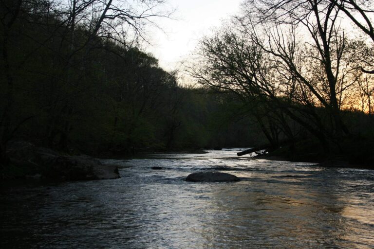
Photo: David Tansey, CC BY 2.0
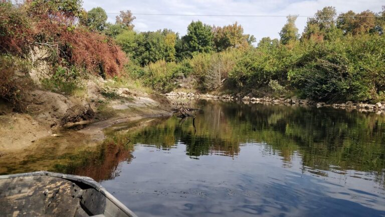
Photo: schizoform, CC BY 2.0

Photo: Nannette Turner, CC BY 2.0
Straight replies on Pungoteague Creek from the Virginia rule books
Which county or city is Pungoteague Creek in?
Look in Accomack County, on the Chesapeake Bay side, about 7 miles from Onancock.
Can a skiff on a trailer reach Pungoteague Creek from a public ramp?
Try Harborton boat ramp on Pungoteague Creek; DWR lists 1 saltwater launch within 10 miles.
What license should I carry on Pungoteague Creek?
A Virginia saltwater license is $17.50 for residents and $25 for nonresidents 16 and older. Those under 16 are exempt.
What size red drum may go home from Pungoteague Creek?
Red drum: 3 a day, 18-inch minimum, 26-inch maximum (4VAC20-1400-30), as of November 6, 2026.
How many speckled trout can I keep from Pungoteague Creek?
Speckled trout: 5 a day, 14-inch minimum (4VAC20-280-30); the code closes the season April 1 through June 30, 2026, as of November 6, 2026.
What summer flounder rows cover Pungoteague Creek?
Summer flounder: 4 a day, 16-inch minimum (4VAC20-620-50); the minimum rises June 1 per the code section, as of November 6, 2026.
What station covers Pungoteague Creek?
NOAA predicts the water at Harborton, Pungoteague Creek, roughly 2 miles off.
What store sells bait near Pungoteague Creek?
Deep Creek Marine & Boatyard (about 9 miles away) is first on our list.
Is there reef structure off Pungoteague Creek?
Anglers Artificial Reef is the closest VMRC guide reef, about 4 miles away (chart-grid midpoint, not a structure position).
Time the tide for Pungoteague Creek
Buy the saltwater license online first.