Piankatank River Fishing
Virginia tidal river water in Middlesex County.
 Pick for red drumPiscifun Alloy S inshore spinning reelCheck price at Piscifun
Photo of Eastern Shore of Virginia: U.S. Fish and Wildlife Service Northeast Region, Public domain
What a Virginia angler should know about Piankatank River
Piankatank River is a tidal river on the Chesapeake Bay side, in Middlesex County. A run of roughly 13 miles links it with Kilmarnock.
Trailers go in at 4 saltwater launches near it. VMRC guide charts show 11 artificial reefs inside 25 miles. Water levels come from 2 water-level stations nearby. Saltwater limits from the Virginia Administrative Code govern it.
USGS GNIS named feature 1472267; Virginia DWR Boating Access Locations; NOAA CO-OPS; read November 6, 2026.
DWR saltwater access by Piankatank River
| Site | Recorded attributes | Owner | Location (DWR) |
|---|---|---|---|
| Deep Point on Piankatank River | dock and ramp, 1 ramp, barrier-free, saltwater | VDOT | From Glenns, Rt 198 East (7.5); L on Rt 606 (1.5) |
| Windmill Point Landing on Tidal Rappahannock River | ramp, 1 ramp, barrier-free, saltwater | No File | Windmill Pt. Rd. for 7.2 mi, turn lft. on Windjammer Ln. .2mi ramp on Rt |
| Mill Creek boat ramp on Tidal Rappahannock River | dock and ramp, 1 ramp, barrier-free, saltwater | VDOT | From Hartfield, Rt. 3 North (.5); R on Rt 626 (3.1) |
| Town Point on East River | dock and ramp & seperate hand launch, 1 ramp, barrier-free, saltwater | VDOT | From Mathews, Rt. 14 South (3.8); R on Rt. 615 (.6) |
Virginia DWR Boating Access Locations layer (attributes as recorded; lanes, fees and hours are not in the layer), read November 6, 2026.
Saltwater rows for Piankatank River
| Species | Area | Size | Bag | Season | VAC section |
|---|---|---|---|---|---|
| Atlantic croaker | Virginia tidal waters | not stated | 50 | not stated | 4VAC20-1370-30 |
| Black sea bass | Virginia tidal waters | 13 in minimum | 15 | 2026: May 11 through December 31; 2027: April 1 through December 31 | 4VAC20-950-45 |
| Red drum | Virginia tidal waters | 18 in minimum, 26 in maximum | 3 | not stated | 4VAC20-1400-30 |
| Sheepshead | Within or outside Virginia tidal waters | not stated | 4 | not stated | 4VAC20-1110-30 |
| Spadefish | Virginia tidal waters | not stated | 4 | not stated | 4VAC20-970-30 |
| Spot | Virginia tidal waters | not stated | 50 | not stated | 4VAC20-1380-30 |
| Striped bass | Chesapeake Bay and its tributaries (spring/summer) | 19 in minimum, 24 in maximum | 1 | May 16 through June 15 | 4VAC20-252-80 |
| Tautog | Virginia tidal waters | 16 in minimum | 4 | Closed May 16 through June 30 | 4VAC20-960-45 |
Limits on Piankatank River follow the VAC sections as of November 6, 2026.
Virginia Administrative Code, Title 4 Agency 20 (Marine Resources Commission) on law.lis.virginia.gov, as of November 6, 2026 (VMRC rules change by emergency order; check the VMRC regulations page before keeping fish).
Which license works on Piankatank River
- Freshwater/saltwater license line (digest)The first set of power lines immediately upriver of Anderson Point
A Virginia freshwater license is $23 a year for residents and $47 for nonresidents 16 and older, and a saltwater license is $17.50 for residents and $25 for nonresidents.
Virginia license fees in the 2026 Freshwater Fishing in Virginia digest (licenses run one year from purchase unless noted), read November 6, 2026. Virginia Marine Resources Commission license fees, read November 6, 2026.
 For the red drum herePiscifun NautiX saltwater spinning reel14% OFFSale $94.99
NOAA stations close to Piankatank River
| NOAA water-level station | ID | Distance |
|---|---|---|
| Windmill Point | 8636580 | 6 miles |
| Yorktown USCG Training Center | 8637689 | 24 miles |
Predicted tides around Piankatank River
| Prediction station | Distance |
|---|---|
| Jackson Creek, Deltaville | 2 miles |
| Windmill Point Light | 5 miles |
| Windmill Point | 6 miles |
| Dixie | 7 miles |
| Mill Creek (Grey Point) | 7 miles |
| Mobjack, East River | 12 miles |
NOAA hosts the numbers for Piankatank River; we link, not copy.
NOAA CO-OPS Tides & Currents station list, read November 6, 2026.
Structure on the bottom near Piankatank River
| Reef | Area | Distance | Clearance (ft, MLW) |
|---|---|---|---|
| Gwynn Island Artificial Reef | Chesapeake Bay | 5 miles | 14 |
| Windmill Point Artificial Reef | Chesapeake Bay | 7 miles | 15 |
| Asphalt Pile Artificial Reef | Chesapeake Bay | 15 miles | 15 |
| Nassawadox Artificial Reef | Chesapeake Bay | 16 miles | 15 |
| Occohannock Artificial Reef | Chesapeake Bay | 16 miles | 15 |
| Mobjack Bay Artificial Reef | Chesapeake Bay | 17 miles | 15 |
| Northern Neck Artificial Reef | Chesapeake Bay | 20 miles | 20 |
| Nandua-Pungoteague Artificial Reef | Chesapeake Bay | 20 miles | 15 |
| Cherrystone Artificial Reef | Chesapeake Bay | 21 miles | 15 |
| York Spit Artificial Reef | Chesapeake Bay | 21 miles |
For Piankatank River, reef coordinates come from VMRC guide charts dated 2004 to 2009.
Virginia Marine Resources Commission saltwater angler guide reef charts, read November 7, 2026.
Older guide listings for Piankatank River
- Jackson Creek Ramp (Piankatank R.)VMRC angler guide listing
Harbor towns near Piankatank River
- DeltavilleMiddlesex County, 3 miles
- KilmarnockLancaster County, 13 miles
- MathewsMathews County, 7 miles
Virginia Marine Resources Commission saltwater angler guide (c. 2008, names only); USGS GNIS populated places.
Within a tank of gas of Piankatank River
Neighbouring bays and creeks of Piankatank River
- East Rivertidal river, 12 miles
- Corrotoman Rivertidal river, 13 miles
- Ware Rivertidal river, 14 miles
- Severn Rivertidal river, 16 miles
- Mobjack Baybay, 17 miles
The bigger water past Piankatank River
- Chesapeake BayVirginia side
Inland fishing near Piankatank River
- Beaverdam Swamp Reservoir14 miles
- Lee Hall Reservoir25 miles
- Waller Mill Reservoir27 miles
Picking up minnows and bloodworms near Piankatank River
- Zimmerman Marinemarina, Deltaville, 2 miles
- Safe Harbor Stingray Pointmarina, Deltaville, 2 miles
- Coastal Marine Incmarina, Deltaville, 2 miles
- Chesapeake Cove Marinamarina, Deltaville, 2 miles
- Deltaville Boat Yardmarina, Deltaville, 2 miles
- Rivertime Marina and Boatyardmarina, Deltaville, 2 miles
Old Dominion towns a quick hop from Piankatank River
- Kilmarnock13 miles, Lancaster County
- Gloucester Courthouse15 miles, Gloucester County
- Gloucester Point21 miles, Gloucester County
- Cape Charles25 miles, Northampton County
County and city guides tied to Piankatank River
- Middlesex Countycounty seat Saluda
Piscifun kit lined up for a day on Piankatank River


Piscifun and Amazon links are affiliate links; the site earns a commission on qualifying purchases.
Old Dominion water near Piankatank River, on camera
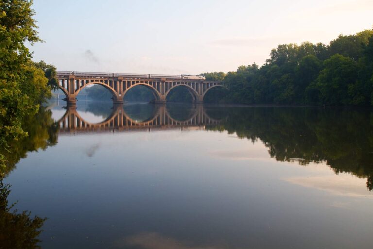
Photo: Rob Shenk, CC BY-SA 2.0

Photo: U.S. Fish and Wildlife Service Northeast Region, Public domain
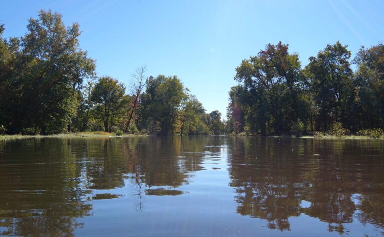
Photo: schizoform, CC BY 2.0

Photo: U.S. Army Corps of Engineers Norfolk District, CC BY 2.0
What a Virginia tackle counter hears about Piankatank River
What town is near Piankatank River?
It lies in Middlesex County, on the Chesapeake Bay side, about 13 miles from Kilmarnock.
How close is the nearest ramp to Piankatank River?
Use Deep Point on Piankatank River or another of the 4 saltwater launches.
Is Piankatank River fresh or salt water for licensing?
A Virginia saltwater license is $17.50 for residents and $25 for nonresidents 16 and older. The digest license line here: The first set of power lines immediately upriver of Anderson Point. No license under 16.
How many puppy drum can I keep from Piankatank River?
Red drum: 3 a day, 18-inch minimum, 26-inch maximum (4VAC20-1400-30), as of November 6, 2026.
What are the speckled trout rules on Piankatank River?
Speckled trout: 5 a day, 14-inch minimum (4VAC20-280-30); the code closes the season April 1 through June 30, 2026, as of November 6, 2026.
Do flounder sizes change during the year on Piankatank River?
Summer flounder: 4 a day, 16-inch minimum (4VAC20-620-50); the minimum rises June 1 per the code section, as of November 6, 2026.
Where does NOAA predict the tide near Piankatank River?
Jackson Creek, Deltaville is the closest NOAA prediction point, about 2 miles away.
Where do anglers fishing Piankatank River buy bloodworms?
Our list starts with Zimmerman Marine (about 2 miles away).
How many miles separate Piankatank River from a charted VMRC reef?
Gwynn Island Artificial Reef is the closest VMRC guide reef, about 5 miles away (chart-grid midpoint, not a structure position).
Run out to Piankatank River on a calm morning
Check the VMRC rows before you keep fish.