Mississippi Rivers, Creeks and Bayous
23 Mississippi rivers, creeks and bayous with a matched USGS gauge or Corps location, plus access points and rules to check.
 Angler pickPiscifun Viper X spinning reel50% OFFSale $39.99
Photo of Yazoo River: Michael Gaylard, CC BY 2.0
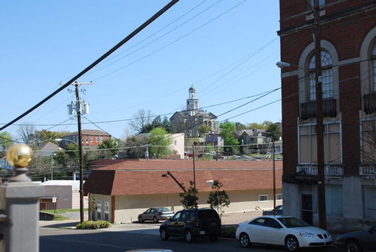
Photo of Vicksburg: Jeff Hart, CC BY 2.0
Mississippi rivers, A through Z
B
- Big Black RiverAttala County and 7 other counties
- Big Sunflower RiverBolivar County and 5 other counties
- Black Creek (Perry County)Forrest County and 3 other counties
- Bogue PhaliaBolivar and Washington counties
- Bouie RiverForrest County
C
- Cassidy BayouQuitman and Tallahatchie counties
- Chickasawhay RiverClarke County and 2 other counties
- Chunky RiverLauderdale County
- Coldwater River (Tunica County)DeSoto County and 3 other counties
E
- Escatawpa RiverGeorge and Jackson counties
L
- Leaf RiverCovington County and 4 other counties
M
- Mississippi RiverAdams County and 8 other counties
P
- Pascagoula RiverGeorge and Jackson counties
- Pearl RiverCopiah County and 11 other counties
R
- Red CreekGeorge and Stone counties
S
- Steele BayouIssaquena County and 2 other counties
- Strong RiverSimpson County
T
- Tallahatchie RiverLeflore County and 2 other counties
- Tombigbee RiverItawamba County and 2 other counties
- Town Creek (Lee County)Lee and Monroe counties
Y
- Yalobusha RiverCalhoun County and 2 other counties
- Yazoo RiverHumphreys County and 3 other counties
- Yockanookany RiverAttala and Leake counties
Mississippi rivers list, explained
Which Mississippi rivers have pages?
23 rivers, creeks and bayous with a matched gauge or Corps location or stocking history.
Where are the other streams?
The other 150 named rivers, creeks and bayous are rows on their county pages with a map pin.
How many show flow?
22 pages load a USGS gauge reading with the gauge named and its time.
Why are lengths missing?
No flowline lengths were collected, so no river length is printed.
Do river rows include state-line waters?
Yes. Waters shared with Alabama, Arkansas, Louisiana or Tennessee say so on the page, and their acres or miles are not credited to Mississippi alone.
Do gauge heights mean depth?
No: a gauge height measures the surface against the gauge zero, not how deep the channel is.
Are the gauge numbers current?
Only stations with a reading in the last week are used, each with its time.
Who sets the limits?
MDWFP statewide creel limits (Rule 1.4, updated April 2026) and public water body regulations.
MDWFP rules and Mississippi directories beside the rivers list
- Every Mississippi fishing page, A to Zlakes, rivers, counties, towns and fish together
- Mississippi fishing this weektournaments, seasons, advisories and big-water readings, dated
- Mississippi stocking reportswhat MDWFP publishes about hatchery stocking, by water and year
- Mississippi fishing tournamentsscheduled events, results and tournament waters
- Mississippi license prices and regulationsMDWFP fees, creel limits and MDMR saltwater limits
- Mississippi seasonsopen and closing dates by species
- Mississippi fish advisoriesMDEQ fish tissue advisories by reach
- Mississippi state recordsMDWFP freshwater and MDMR saltwater record fish
- Mississippi lake levels and gaugesUSGS and Corps readings with their times
- Mississippi saltwater fishingMDMR limits, zones and Gulf seasons
- Mississippi free fishing dayslicense-free dates as published
- Mississippi bait and tackle shopscounters and marinas by map group
- Mississippi fishing guideslisted guide services with towns and phones