Red Creek Fishing
A creek in George and Stone counties, Mississippi.
 Pick for largemouthPiscifun Chaos Pro CNC baitcasting reel25% OFFSale $97.99
Photo of Pascagoula River: formulanone, CC BY-SA 4.0
The Red Creek: the short version in Mississippi
The agency and federal lists place Red Creek in George and Stone counties, with 3 ramps, 1 USGS gauge and 1 Corps location behind the entry. The Corps posts readings for Red Creek at Vestry. Wiggins is the Census place closest to it, about 14 miles off.
Along it, the ramp list holds 3 launches. Gauge coverage: 1.
MDWFP and MDMR access-point records and USGS or USACE gauge listings for Red Creek (source), read November 19, 2026. No flowline length is published, so none is printed.
U.S. Census Bureau, 2020 Census counts (TIGERweb) and the 2023 Gazetteer, read November 19, 2026.
Water data for the Red Creek
USGS has no current reading for these gauges.
USACE readings for Red Creek at Vestry, Nov. 19, 1:45 a.m. EST.
USACE CWMS reporting API for Red Creek at Vestry (water.usace.army.mil), readings as served with their time stamps, read November 19, 2026. Not live; elevations carry the datum the Corps lists.
USGS figures refresh when the page loads, and a gauge speaks for its own bank or bridge, not the full length of the water.
USGS Water Data for the Nation, live through the site, retrieved on page view.
Mississippi: boat ramps at Red Creek
- City Bridge Landing on Red Creekboat ramp
- Ramsey Springs Landing on Red Creekboat ramp
- Vestry Ramp Hwy 57 on Red Creekboat ramp
Read each entry as a pin on a map, never as a confirmed open ramp.
MDWFP Fishing Dashboard boat ramps layer (ArcGIS service), read November 19, 2026. Lanes, hours and fees are not published; the fee type is a label only.
Creel math for a trip to Red Creek
The limits below govern a day at Red Creek, and any row copied from the agency lake page follows. Statewide limits apply unless MDWFP lists a special rule for the water; the special rows here were read from its lake pages and Rule 1.4 tables.
| Fish as printed | Daily limit as printed | Minimum size as printed | Special |
|---|---|---|---|
| Black bass (combined largemouth, spotted, smallmouth) | 10 | ||
| Sauger | 10 | ||
| Walleye | 3 | Harvest and possession of walleye prohibited in Lake Lamar Bruce, Elvis Presley Lake, Lake Monroe, Choctaw Lake (Choctaw County) (public-water-body page) and in the Old Tombigbee River and its tributaries north of Hwy 278 (Monroe, Itawamba, Prentiss counties) (Rule 1.4 A.3). Water-specific creel in waters table. | |
| Striped bass and striped bass hybrids | 6 | 15 in minimum | |
| Crappie (combined black and white) | 30 | Lake-specific crappie rules apply (e.g. 12 in / 10 per day on Sardis, Grenada, Enid, Arkabutla). | |
| Bream (combined bluegill, redear and other sunfish) | 100 | ||
| Alligator gar | 2 | Alligator gar harvest prohibited on Bee Lake (Holmes County). | |
| Paddlefish | 2 | must be less than 30 in (measured eye to fork of tail) | Paddlefish over 30 in must be released; no harvest in the Tenn-Tom Waterway, Tombigbee River and tributaries, or Pickwick Lake. |
| Catfish (blue, channel, flathead) | 10 only at MDWFP State Fishing Lakes and State Park Lakes; no creel limit on other waters | On border waters with Alabama and Tennessee: 1 catfish over 34 in per person per day. | |
| Any game or sport fish species not listed | no daily creel limit | Rule 1.4 A.1.b. | |
| All sturgeon (Alabama, Atlantic, pallid, shovelnose) | 0 (harvest and possession prohibited in all Mississippi waters) | Rule 1.4 A.7. |
These limits were read on Nov. 19, 2026 from the MDWFP Rule 1.4 table dated April 2026 and the public water body pages; 2027 rules and fees are not printed because MDWFP has not published them.
Prices on the MDWFP page: $25 resident all-game hunting and freshwater fishing, $68 nonresident freshwater fishing, with agent and process fees listed separately.
MDWFP statewide creel limits (Rule 1.4, updated April 2026) and public water body regulations (mdwfp.com), read November 19, 2026. Web pages summarize 40 Miss. Admin. Code Part 3; the rule text controls.
License prices from the MDWFP price page (mdwfp.com), read November 19, 2026. Agent and process fees are not included.
 For the largemouth herePiscifun AlinoX 300 low profile baitcaster34% OFFSale $104.99
Record entries for Red Creek
| Species | Size as printed | Year | Place as the source prints it |
|---|---|---|---|
| Shadow Bass | not printed | Red Creek |
Freshwater records from MDWFP (mdwfp.com) and saltwater records from MDMR (dmr.ms.gov), read November 19, 2026. Angler names are not printed.
Mississippi: a short stretch of road past Red Creek
If the Red Creek runs high, try these streams in Mississippi
- Black Creek (Perry County)14 miles north
- Pascagoula River25 miles southeast
- Escatawpa River35 miles southeast
- Leaf River42 miles northwest
- Bouie River51 miles northwest
Mississippi: bait and tackle counters on the road to Red Creek
- Wal-mart (Wiggins)bait and tackle shop, Wiggins, 15 miles
- C&C outdoorsbait and tackle shop, Wiggins, 15 miles
- Coast Tackle Servicebait and tackle shop, Vancleave, 18 miles
- Wal-mart (Lucedale)bait and tackle shop, Lucedale, 21 miles
- Academy Sports + Outdoors (Diberville)bait and tackle shop, Diberville, 22 miles
- Wal-mart (D'Iberville)bait and tackle shop, D'Iberville, 22 miles
Mississippi: booking a guide for Red Creek
- Knot EZ Charterscharter, Wiggins, (228) 297-6085
Finding a motel or camp close to Red Creek
- Wiggins14 miles
- Saucier17 miles
- Latimer20 miles
Mississippi: county write-ups that name Red Creek
- George Countyseat: Lucedale
- Stone Countyseat: Wiggins
Piscifun gear a Mississippi angler could carry to Red Creek


Piscifun and Amazon links are affiliate links; the site earns a commission on qualifying purchases.
Oxbows, creeks and pine-ringed lakes around Red Creek, pictured
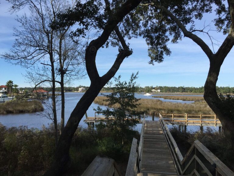
Photo: NatalieMaynor, CC BY 2.0
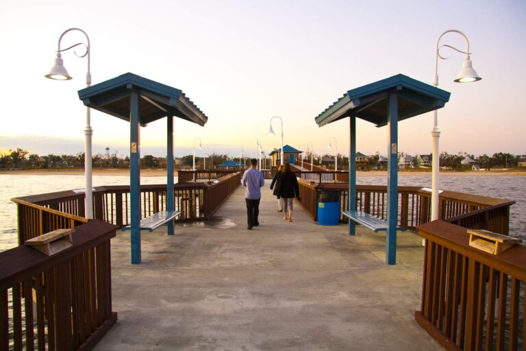
Photo: pushypenguin, CC BY 2.0
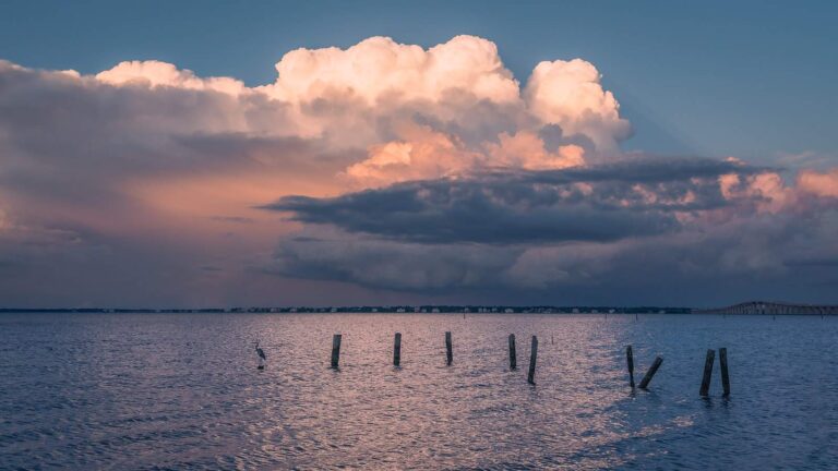
Photo: Marty B, CC BY-SA 2.0

Photo: Paul Lowry, CC BY 2.0
What visitors to Red Creek ask before loading the boat
Which agencies track the flow of Red Creek?
From the pages: USGS gauges on file: Red Creek At Vestry, Ms. Each reports its own spot, not the whole river.
In which counties is Red Creek found?
Short answer: Red Creek runs through George and Stone counties.
Is there a place to launch on Red Creek?
Worth knowing: MDWFP and MDMR rows pin 3 launches here, City Bridge Landing on Red Creek first. Nothing on hours, fees or lane counts reached the data.
How many fish go in the cooler from Red Creek?
From the pages: Rule 1.4 statewide limits apply as printed here, and no water-specific rule was found for this water. Some limits differ between rivers and lakes, so read the table and the current rule text.
Which anglers need a license at Red Creek?
Short answer: Prices on the MDWFP page: $25 resident all-game hunting and freshwater fishing, $68 nonresident freshwater fishing, with agent and process fees listed separately.
What store on the list lies nearest Red Creek?
Worth knowing: Wal-mart (Wiggins), about 15 miles away, is first on the list.
Which Mississippi town works as a base for Red Creek?
From the pages: Census data put Wiggins nearest, roughly 14 miles off in a straight line.
Where else could I fish within a short drive of Red Creek?
Short answer: Waters nearby with a page of their own: Black Creek (Perry County), Pascagoula River and Escatawpa River.
Which roads lead toward Red Creek?
Worth knowing: The Directions button opens a map pinned at the coordinates on file for Red Creek. Call ahead before driving in, because roads and gates change.
Which agency reports on Red Creek?
From the pages: Gauges are on file, and the flow block prints each reading beside the time it was taken.
Which record entry points to Red Creek?
Short answer: The record list has a shadow bass of a printed size from Red Creek.
Read the rules, then point the truck at Red Creek
License prices and the statewide limits sit on the Mississippi license page.