Pearl River Fishing
A river in Copiah County and 11 other counties, Mississippi.
 Pick for largemouthPiscifun Chaos Pro CNC baitcasting reel25% OFFSale $97.99
Photo: pedrik, CC BY 2.0
Mississippi: a profile of the Pearl River
Pearl River is a river in Copiah County and 11 other counties, and the data tie it to 22 ramps, 4 USGS gauges and 11 Corps locations. Corps locations on file: Pearl River @ Bogalusa, LA and Pearl River @ Carthage, MS. For groceries and fuel, Monticello is about 7 miles in a straight line.
On the map it has 22 launches. It carries 4 USGS reporting gauges.
MDWFP and MDMR access-point records and USGS or USACE gauge listings for Pearl River (source), read November 19, 2026. No flowline length is published, so none is printed.
U.S. Census Bureau, 2020 Census counts (TIGERweb) and the 2023 Gazetteer, read November 19, 2026.
Mississippi: uSGS flow near the Pearl River
USGS has no current reading for these gauges.
USACE readings for Pearl River @ Bogalusa, LA, Nov. 19, 2:15 a.m. EST.
USACE CWMS reporting API for Pearl River @ Bogalusa, LA (water.usace.army.mil), readings as served with their time stamps, read November 19, 2026. Not live; elevations carry the datum the Corps lists.
Every gauge covers its own location; the stretch up or down from it can read differently.
USGS Water Data for the Nation, live through the site, retrieved on page view.
Mississippi: launching on Pearl River
- Allen Landing on Pearl Riverboat ramp
- Atwood Water Park on Pearl Riverboat ramp
- Columbia Water Park on Pearl Riverboat ramp
- Curtis Johnson Waterfront Park and Boat Launch (Napoleon Boat Launch) on Pearl Riverboat ramp
- Georgetown Landing on Pearl Riverboat ramp
- Hwy 15 Landing on Pearl Riverboat ramp
- Hwy 44 Landing on Pearl Riverboat ramp
- Hwy 98 Landing on Pearl Riverboat ramp
- Leake County Water Park on Pearl Riverboat ramp
- Lelfleur's Bluff State Park on Pearl Riverboat ramp
- Logtown Boat Launch on Pearl Riverboat ramp
- Logtown Boat Launch on Pearl Riverboat ramp
- McLeod Park – Pearl River Boatwayboat ramp
- Napolean Landing on Pearl Riverboat ramp
- Pearl R. Nanih Waiya WMA Fishing Area on Pearl Riverboat ramp
- Pearlington Landing Boat Launch on Pearl Riverboat ramp
- Pearlington Landing on Pearl Riverboat ramp
- Ross Barnett Spillway Fishing Area on Pearl Riverboat ramp
- SOUTH CARTHAGE LANDING (Temporarily closed) on Pearl Riverboat ramp
- Walkaih Bluff Fishing Area on Pearl Riverboat ramp
- Wanilla Water Park on Pearl Riverboat ramp
- Yates Crossing Fishing Area on Pearl Riverboat ramp
Neither layer carries opening times or charges for Pearl River, so none appear.
MDWFP Fishing Dashboard boat ramps layer (ArcGIS service), read November 19, 2026. Lanes, hours and fees are not published; the fee type is a label only.
Which creel and size rows reach Pearl River
At Pearl River, the statewide rule table controls, with lake-page rows listed next when the agency printed them. Check the MDWFP lake page for any water you plan to fish: special rules are listed there, and the rows on this page copy only what was read.
| Fish as printed | Daily limit as printed | Minimum size as printed | Special |
|---|---|---|---|
| Black bass (combined largemouth, spotted, smallmouth) | 10 | ||
| Sauger | 10 | ||
| Walleye | 3 | Harvest and possession of walleye prohibited in Lake Lamar Bruce, Elvis Presley Lake, Lake Monroe, Choctaw Lake (Choctaw County) (public-water-body page) and in the Old Tombigbee River and its tributaries north of Hwy 278 (Monroe, Itawamba, Prentiss counties) (Rule 1.4 A.3). Water-specific creel in waters table. | |
| Striped bass and striped bass hybrids | 6 | 15 in minimum | |
| Crappie (combined black and white) | 30 | Lake-specific crappie rules apply (e.g. 12 in / 10 per day on Sardis, Grenada, Enid, Arkabutla). | |
| Bream (combined bluegill, redear and other sunfish) | 100 | ||
| Alligator gar | 2 | Alligator gar harvest prohibited on Bee Lake (Holmes County). | |
| Paddlefish | 2 | must be less than 30 in (measured eye to fork of tail) | Paddlefish over 30 in must be released; no harvest in the Tenn-Tom Waterway, Tombigbee River and tributaries, or Pickwick Lake. |
| Catfish (blue, channel, flathead) | 10 only at MDWFP State Fishing Lakes and State Park Lakes; no creel limit on other waters | On border waters with Alabama and Tennessee: 1 catfish over 34 in per person per day. | |
| Any game or sport fish species not listed | no daily creel limit | Rule 1.4 A.1.b. | |
| All sturgeon (Alabama, Atlantic, pallid, shovelnose) | 0 (harvest and possession prohibited in all Mississippi waters) | Rule 1.4 A.7. |
Source for the rules: MDWFP Rule 1.4 (April 2026) and its public water body regulations pages, read Nov. 19, 2026; web pages summarize the Administrative Code, so the code controls.
MDWFP charges $25 for the resident all-game hunting and freshwater fishing license and $68 for a nonresident freshwater license, not counting agent fees.
MDWFP statewide creel limits (Rule 1.4, updated April 2026) and public water body regulations (mdwfp.com), read November 19, 2026. Web pages summarize 40 Miss. Admin. Code Part 3; the rule text controls.
License prices from the MDWFP price page (mdwfp.com), read November 19, 2026. Agent and process fees are not included.
 For the largemouth herePiscifun AlinoX 300 low profile baitcaster34% OFFSale $104.99
Saltwater record entries naming Pearl River
| Species | Size as printed | Year | Place as the source prints it |
|---|---|---|---|
| Spotted Bass | not printed | Pearl River | |
| Striped Bass | not printed | Pearl River (Jackson) | |
| Striped Bass Hybrid | not printed | Pearl River (Jackson) | |
| Freshwater Drum | not printed | Pearl River (Jackson) |
Freshwater records from MDWFP (mdwfp.com) and saltwater records from MDMR (dmr.ms.gov), read November 19, 2026. Angler names are not printed.
Minutes from Pearl River by gravel and blacktop
Mississippi: other moving water near the Pearl River
- Strong River19 miles northeast
- Bouie River48 miles east
- Leaf River56 miles southeast
- Big Black River73 miles north
- Black Creek (Perry County)82 miles southeast
Where to buy crickets and minnows near Pearl River
- Home Hardwarebait and tackle shop, Monticello, 7 miles
- Lake Lincoln Storebait and tackle shop, Wesson, 13 miles
- Uncle Ray's Bait Shopbait and tackle shop, Wesson, 13 miles
- Big Fish Bait and Tacklebait and tackle shop, Wesson, 14 miles
- Blue Bayou Marketbait and tackle shop, Brookhaven, 20 miles
- Hopewell Bait Shopbait and tackle shop, Crystal Springs, 21 miles
Licensed Mississippi guide listings that fish Pearl River
- Delta Outfitters Fishing Charterscharter, Bay St Louis, (225) 333-0580
- Gotta Geaux Charterscharter, Bay St Louis, (601) 270-2187
- Gulf Coast Charterscharter, Waveland, (228) 323-3302
- Lured Away Charterscharter, Bay Saint Louis, (601) 273-1453
- OutKast Charterscharter, Bay Saint Louis, (228) 233-7760
- shore thing charterscharter, Bay St Louis, (228) 342-2206
- Blue Cat Guide Servicefishing guide, Madison, (601) 953-5767
- World Class Outdoorsfishing guide, Brandon, (601) 497-1836
Mississippi: lodging towns around Pearl River
- Monticello7 miles
- Prentiss15 miles
- Wesson16 miles
County pages with Pearl River listed
- Copiah Countyseat: Hazlehurst
- Hancock Countyseat: Bay St. Louis
- Hinds Countyseat: Jackson and Raymond
- Lawrence Countyseat: Monticello
- Leake Countyseat: Carthage
- Madison Countyseat: Canton
- Marion Countyseat: Columbia
- Neshoba Countyseat: Philadelphia
- Pearl River Countyseat: Poplarville
- Rankin Countyseat: Brandon
- Scott Countyseat: Forest
- Simpson Countyseat: Mendenhall
Piscifun rods plus a pair of pliers packed for the drive to Pearl River


Piscifun and Amazon links are affiliate links; the site earns a commission on qualifying purchases.
Magnolia State shoreline worth a frame near Pearl River
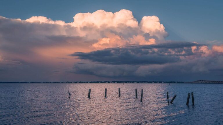
Photo: Marty B, CC BY-SA 2.0
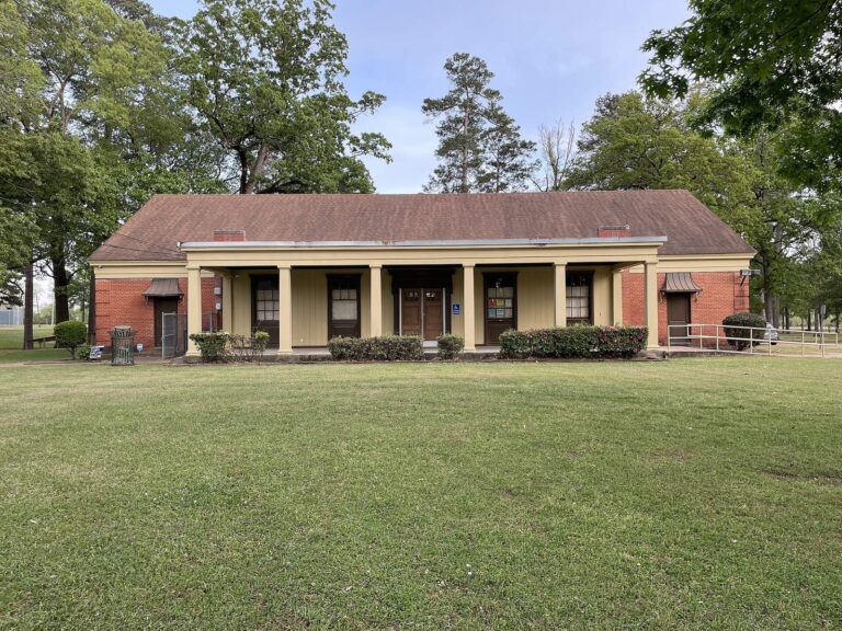
Photo: Ktkvtsh, CC BY 4.0

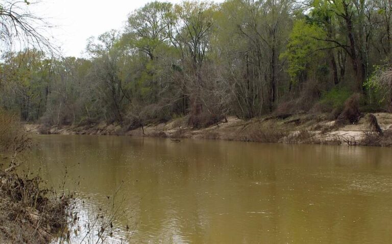
Photo: Richard apple, CC BY-SA 3.0

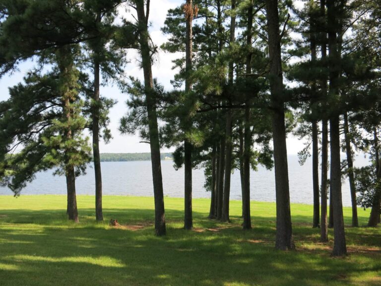
Photo: James Case, CC BY 2.0
Straight replies for a first trip to Pearl River
Does anyone gauge the Pearl River?
Plainly: USGS gauges on file: Pearl River Nr Monticello, Ms, Pearl River At Rockport, Ms and Pearl River Near Hopewell, Ms. Each reports its own spot, not the whole river.
How do I find the Pearl River on the map?
Quick check: Pearl River runs through Copiah County and 11 other counties.
Which ramps are listed along the Pearl River?
In practice: Pinned on the map: 22 launches, among them Allen Landing on Pearl River. The source publishes no lane, hours or fee detail.
Is a special regulation attached to the Pearl River?
Plainly: Rule 1.4 statewide limits apply as printed here, and no water-specific rule was found for this water. Some limits differ between rivers and lakes, so read the table and the current rule text.
What is the price of a license for the Pearl River?
Quick check: MDWFP charges $25 for the resident all-game hunting and freshwater fishing license and $68 for a nonresident freshwater license, not counting agent fees.
Which listed shop stocks gear for the Pearl River?
In practice: Home Hardware, about 7 miles away, is first on the list.
Where is a meal or a bed near the Pearl River?
Plainly: Census data put Monticello nearest, roughly 7 miles off in a straight line.
Which nearby waters have their own page next to the Pearl River?
Quick check: Waters nearby with a page of their own: Strong River, Bouie River and Leaf River.
What coordinates mark the Pearl River?
In practice: The Directions button opens a map pinned at the coordinates on file for the Pearl River. Verify the gate and the road with whoever owns the land.
How can I check the water before going to the Pearl River?
Plainly: Gauges are on file, and the flow block prints each reading beside the time it was taken.
What record is listed for the Pearl River?
Quick check: The record list has a spotted bass of a printed size from Pearl River.
Spend a full day on the Pearl River
Buy the license and read the limits before leaving home.