Mississippi Lake Levels and Stream Gauges
USGS gauges and dated Corps readings for Mississippi lakes and rivers.
 Angler pickPiscifun Viper X spinning reel50% OFFSale $39.99
Photo of Yazoo River: Michael Gaylard, CC BY 2.0
Where the Mississippi gauge and level figures come from
USGS stream gauges and two lake gauges report on this site, and the Army Corps posts pool readings for the Vicksburg and Mobile District lakes. Each figure shows its own time and is never called live.
Gauge height measures the surface against the gauge zero, not depth, and no Tenn-Tom pool has a live source.
USGS Water Data for the Nation, live through the site, retrieved on page view.
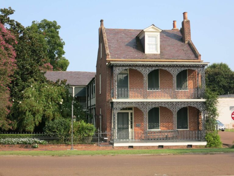
Photo of Natchez: James Case, CC BY 2.0
Newest dated figures at Mississippi lakes
| Water | Source | Reading | Measure | Reading time |
|---|---|---|---|---|
| Ross Barnett Reservoir Nr Jackson, Ms | USGS lake gauge | 295.74 ft | gage height | Nov. 19, 12:15 a.m. |
| Long Lake At Control Structure Nr Friars Point, Ms | USGS lake gauge | 165.01 ft | gage height | Nov. 19, 12:30 a.m. |
| Arkabutla Reservoir | USACE project | 205.33 ft | pool elevation | Nov. 19, 7:00 p.m. EST |
| Arkabutla Reservoir | USACE project | 22 cfs | outflow | Nov. 19, 7:00 p.m. EST |
| Enid Reservoir | USACE project | 233.18 ft | pool elevation | Nov. 19, 7:00 p.m. EST |
| Enid Reservoir | USACE project | 1,295 cfs | outflow | Nov. 19, 7:00 p.m. EST |
| Grenada Reservoir | USACE project | 196.96 ft | pool elevation | Nov. 19, 7:00 p.m. EST |
| Grenada Reservoir | USACE project | 1,917 cfs | outflow | Nov. 19, 7:00 p.m. EST |
| Okatibbee Reservoir | USACE project | 339.76 ft | pool elevation | Nov. 19, 2:00 a.m. EST |
| Okatibbee Reservoir | USACE project | 10 cfs | outflow | Nov. 19, 2:00 a.m. EST |
| Ross Barnett Reservoir | USACE project | 295.74 ft | pool elevation | Nov. 19, 2:00 a.m. EST |
| Sardis Reservoir | USACE project | 239.4 ft | pool elevation | Nov. 19, 7:00 p.m. EST |
| Sardis Reservoir | USACE project | 2,279 cfs | outflow | Nov. 19, 7:00 p.m. EST |
| Wolf Lake | USACE project | 85.65 ft | river stage | Nov. 19, 2:00 a.m. EST |
| Wolf Lake | USACE project | 85.65 ft | pool elevation | Nov. 19, 2:00 a.m. EST |
USACE CWMS reporting API for this location (water.usace.army.mil), readings as served with their time stamps, read November 19, 2026. Not live; elevations carry the datum the Corps lists.
Mississippi rivers with a matched USGS gauge
- Big Black River3 gauges
- Big Sunflower River4 gauges
- Black Creek (Perry County)1 gauge
- Bogue Phalia2 gauges
- Bouie River1 gauge
- Chickasawhay River4 gauges
- Chunky River1 gauge
- Coldwater River (Tunica County)2 gauges
- Escatawpa River1 gauge
- Leaf River4 gauges
- Mississippi River1 gauge
- Pascagoula River2 gauges
- Pearl River4 gauges
- Red Creek1 gauge
- Steele Bayou1 gauge
- Strong River3 gauges
- Tallahatchie River1 gauge
- Tombigbee River4 gauges
- Town Creek (Lee County)2 gauges
- Yalobusha River1 gauge
- Yazoo River1 gauge
- Yockanookany River2 gauges
USGS Water Data for the Nation, live through the site, retrieved on page view.
Mississippi levels, answered
Do the figures refresh by themselves?
USGS widgets load on the page; Corps figures are dated readings.
Who posts Corps readings?
The USACE Access to Water service.
Which lakes have a USGS gauge?
Ross Barnett Reservoir
Is gauge height depth?
No.
Which rivers show gauges?
22 river pages.
Why no Tenn-Tom level?
No live source was found for those pools.
Are figures final?
Agencies mark provisional data, and values can be revised.
Where are weekly figures?
On the fishing this week page.
Put this table on your own site for free: get the embed code.