Oregon Rivers
108 Oregon rivers with salmon and steelhead runs, OSMB launches, booklet exceptions and live USGS flow.
Photo of Alsea River: Bonnie Moreland, Public domain
 Pick for troutPiscifun Carbon X ultralight spinning reel28% OFFSale $57.99

A
- Alsea River
- Applegate River
B
- Blue River
- Breitenbush River
- Bull Run River
- Burnt River
C
- Calapooia River
- Chetco River
- Chewaucan River
- Clackamas River
- Clatskanie River
- Coast Fork Willamette River
- Columbia River
- Coos River
- Coquille River
- Crooked River
D
- Deschutes River
E
- East Fork Wallowa River
- Elk River
F
- Fall River
G
- Gilbert River
- Grande Ronde River
H
- Hood River
I
- Illinois River
- Imnaha River
J
- John Day River
K
- Kilchis River
- Klamath River
- Klaskanine River
L
- Lewis and Clark River
- Little Applegate River
- Little Nestucca River
- Little North Santiam River
- Little Sandy River
- Long Tom River
- Lost River
- Lostine River
- Luckiamute River
M
- Malheur River
- Marys River
- McKenzie River
- Metolius River
- Miami River
- Middle Fork Coquille River
- Middle Fork John Day River
- Middle Fork Willamette River
- Middle Santiam River
- Millicoma River
- Minam River
- Mohawk River
- Molalla River
N
- Necanicum River
- Nehalem River
- Nestucca River
- New River
- North Fork Bull Run River
- North Fork John Day River
- North Fork Middle Fork Willamette River
- North Fork Nehalem River
- North Fork Siuslaw River
- North Santiam River
- North Umpqua River
O
- Owyhee River
P
- Pistol River
- Powder River
- Pudding River
R
- Rogue River
- Row River
S
- Sandy River
- Santiam River
- Siletz River
- Siltcoos River
- Siuslaw River
- Sixes River
- Skipanon River
- Smith River
- Snake River
- South Fork Bull Run River
- South Fork Coos River
- South Fork Coquille River
- South Fork McKenzie River
- South Fork Rogue River
- South Fork Sycan River
- South Santiam River
- South Umpqua River
- South Yamhill River
- Sprague River
T
- Tillamook River
- Trask River
- Tualatin River
U
- Umatilla River
- Umpqua River
W
- Walla Walla River
- Wallowa River
- Warm Springs River
- Wenaha River
- West Fork Hood River
- West Fork Millicoma River
- White River
- Willamette River
- Williamson River
- Wilson River
- Winchuck River
- Wood River
Y
- Yachats River
- Yamhill River
- Yaquina River
- Youngs River
Camera views to go with Oregon Rivers
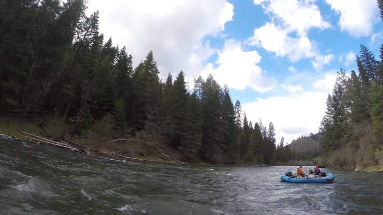
Photo: Bureau of Land Management Oregon and Washington, CC BY 2.0
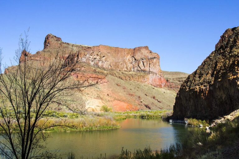
Photo: Bonnie Moreland, Public domain
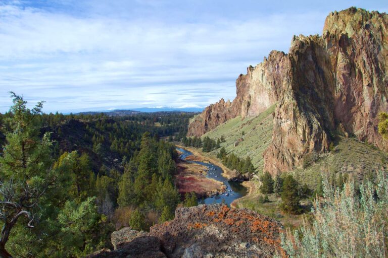
Photo: Bonnie Moreland, Public domain
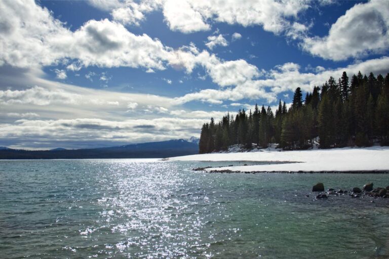
Photo: Bonnie Moreland, Public domain
Oregon rivers list: reader questions
How many Oregon rivers have their own page?
108; 71 carry a live USGS gauge.
How many list salmon or steelhead?
98 rivers have salmon or steelhead mapped in the ODFW Fish Habitat Distribution layers.
Which rivers carry booklet exceptions?
78 of them; each page prints the rule as written with its booklet page number.
Do the flow figures update?
Yes, every USGS gauge on a river page pulls its latest reading through the day.
Are tidewater and bays covered on river pages?
12 river pages also carry their estuary: launches, docks and tide stations at the mouth.
Why does a fork or creek have no page?
A stream needs a launch, a gauge, a booklet exception or stocking weeks before it gets one.
Are river lengths printed?
No; the layers used do not give a length, so none is shown.
Where are the river species from?
ODFW Fish Habitat Distribution layers, regulation exceptions that name a fish, and ODFW records.
Booklet rules, records and directories to pair with Oregon rivers
- Every Oregon water, A to Zlakes, ocean areas, bays, rivers, counties, towns and fish on one list
- Oregon licenses and the nine zones2026 fees, tags, endorsements and zone tables
- Marine Zone rulesbottomfish, crab, clams and the ocean seasons
- Columbia River Zone rulesthe big river from Astoria to the Snake
- Special regulations by waterevery booklet exception, zone by zone
- Salmon and steelhead rulesthe Combined Angling Tag and the 20-fish year
- Free fishing weekendsthe 2026 dates when no license is needed
- Oregon record fishthe ODFW list of record weights
- Trout stocking scheduleplanned ODFW releases by week
- Reservoir levels and river flowUSGS gauges, Corps pools and NOAA tides
- Oregon coastocean subareas, bays and estuaries
- Marine reservesreserves, MPAs and what each allows
- Boat launchesMarine Board launches county by county
- Shore fishingpublic docks and piers on the bays
- Bait and tackle shopsstores and marinas by ODFW zone
- Guides and chartersdrift boats, ocean charters, fly guides
- Tournaments and derbieskokanee derbies, bass events, winners
- Protected fish and shellfishgreen sturgeon, bull trout, yelloweye and more