Oregon Shore Fishing
Public docks, piers and jetties on Oregon bays and the open coast.
 Angler pickPiscifun Viper X spinning reel50% OFFSale $39.99
Photo of Elk Lake: U.S. Forest Service- Pacific Northwest Region, Public domain
Oregon docks, piers and jetties
The Oregon coast program inventories public shoreline access, and ODFW maps marine shore fishing spots from rocks, jetties, beaches and docks. 16 sites with enough facts have a page of their own; the others are listed below and on their bay or river page.
Oregon Coastal Management Program (DLCD) Shoreline Access Inventory (layer) and the ODFW shore access map, read November 2, 2026.
Oregon shore spots with their own page
- Albacore Lane on Coos Bayfishing pier
- Astoria Yacht Club Park on Lower Columbia River estuaryfishing pier, Unknown
- Basin St. on Lower Columbia River estuaryfishing pier, Unknown
- Biak Ave on Tillamook Bayfishing pier, Owner
- Chicago Wayside/end of pier on Coquille Riverfishing pier
- Depoe Bay City Parkfishing pier, Owner
- Empire Boat Ramp on Coos Bayfishing pier, Owner
- Garibaldi Pier on Tillamook Bayfishing pier, Owner
- Garibaldi Public Pier on Tillamook Bayfishing pier, Owner
- Harbor St. Ramp on Siuslaw Riverfishing pier, Port of Siuslaw
- Port of Brookings on Chetco Riverfishing pier, Owner
- Port of Garibaldi on Tillamook Bayfishing pier, Port of Garibaldi
- Port of Port Orford on Port Orford Headfishing pier, Owner
- Port of Toledo on Yaquina Bayfishing pier, Port of Toledo
- South Jetty Crab Dock Parking on Siuslaw Riverfishing pier, Lane County
- Windy Cove Day Use Area on Winchester Bay and the Umpqua estuaryfishing pier, Owner
More Oregon shore access on the maps
- 12th – 17th Street on Lower Columbia River estuaryfishing pier, Clatsop County
- 12th Street on Lower Columbia River estuaryfishing pier, Clatsop County
- 14th Street Ferry Landing on Lower Columbia River estuaryfishing pier, Clatsop County
- 17th Street Pier (Civic Pier) on Lower Columbia River estuaryfishing pier, Clatsop County
- 17th Street, Astoria on Lower Columbia River estuaryfishing pier, Clatsop County
- 17th Street, Astoria on Lower Columbia River estuaryfishing pier, Clatsop County
- 17th Street, Astoria on Lower Columbia River estuaryfishing pier, Clatsop County
- 2nd Street on Lower Columbia River estuaryfishing pier, Clatsop County
- 36th Street on Lower Columbia River estuaryfishing pier, Clatsop County
- 39th Street on Lower Columbia River estuaryfishing pier, Clatsop County
- 6th Street Pier on Lower Columbia River estuaryfishing pier, Clatsop County
- 9th Street River Park on Lower Columbia River estuaryfishing pier, Clatsop County
- Area D on Lower Columbia River estuaryfishing pier, Clatsop County
- Bandon Boardwalk on Coquille Riverfishing pier, Coos County
- Bastendorff Beach County Park on Sunset Bayshore site, Coos County
- Beach Access, Cape Meares on Tillamook Bayshore site, Tillamook County
- Bob Straub State Park on Nestucca Bayshore site, Tillamook County
- Boiler Bay State Park on Depoe Bayjetty, Lincoln County
- Bullards Beach on Coquille Rivershore site, Coos County
- Bullards Boat Ramp on Coquille Riverfishing pier, Coos County
- Cannon Beach on Ecola Creek estuaryshore site, Clatsop County
- Chetco Point Parkshore site, Curry County
- Coos Bay Boardwalkfishing pier, Coos County
- Ecola State Park on Ecola Creek estuaryshore site, Clatsop County
- Fisher Point Launch on Nestucca Bayjetty, Tillamook County
- Garibaldi Pier on Tillamook Bayfishing pier, Tillamook County
- Garibaldi Pier on Tillamook Bayfishing pier, Tillamook County
- Happy Camp on Netarts Bayshore site, Tillamook County
- Harris Beach State Park on Chetco Rivershore site, Curry County
- Hobsonville Point on Tillamook Bayjetty, Tillamook County
- Horsfall Beach, Oregon Dunes NRA on Coos Bayshore site, Coos County
- Lone Ranch Beach on Whaleshead Creek estuaryshore site, Curry County
- Marine Drive and Columbia Avenue on Lower Columbia River estuaryfishing pier, Clatsop County
- McVay State Park on Winchuck Rivershore site, Curry County
- Nehalem Bay State Parkshore site, Tillamook County
- Nesika Beach, Ophir on Euchre Creek estuaryshore site, Curry County
- Netarts Landing Rampjetty, Tillamook County
- Newport Bayfront and Abbey Street Pier on Little Creek estuaryjetty, Lincoln County
- Newport Marina and Fishing Pier on Little Creek estuaryjetty, Lincoln County
- North Bend Boardwalk on Coos Bayfishing pier, Coos County
- North Jetty, Rogue Rivershore site, Curry County
- North Spit Ramp, Coos Bayjetty, Coos County
- Ona Beach State Park on Beaver Creek estuaryshore site, Lincoln County
- Pacific City Beach at Cape Kiwanda on Nestucca Bayshore site, Tillamook County
- Pedestrian Plaza on Siuslaw Riverfishing pier, Lane County
- Pistol Rivershore site, Curry County
- Port of Alsea, Waldportfishing pier, Lincoln County
- Port of Gold Beach on Rogue Riverfishing pier, Curry County
- Port of Siuslawfishing pier, Lane County
- Port of Siuslaw Dockfishing pier, Lane County
- Quatat Marine Park on Necanicum Riverfishing pier, Clatsop County
- Rockaway Beachshore site, Tillamook County
- Rocky Creek State Park on Depoe Bayjetty, Lincoln County
- Salmon Harbor Boat Basin on Winchester Bay and the Umpqua estuaryjetty, Douglas County
- Seal Rock State Park on Beaver Creek estuaryshore site, Lincoln County
- Siletz Bayfishing pier, Lincoln County
- Siuslaw River Interpretive Pierfishing pier, Lane County
- Siuslaw River North Jettyshore site, Lane County
- Smelt Sands State Park on Yachats Rivershore site, Lincoln County
- South Cove Beach, Cape Arago State Park on Sunset Bayshore site, Coos County
- South Jetty, Rogue Rivershore site, Curry County
- Sunset Bay State Parkshore site, Coos County
- Tillamook Bay North Jetty, Barview Parkshore site, Tillamook County
- Transient Docks and Slips-East on Tillamook Bayfishing pier, Tillamook County
- Whalen Island County Park on Sand Lakejetty, Tillamook County
- Whaleshead Beach on Whaleshead Creek estuaryshore site, Curry County
- Wheeler waterfront park on Nehalem Bayfishing pier, Tillamook County
- Winchuck State Recreation Siteshore site, Curry County
- Yachats State Parkshore site, Lincoln County
- Yaquina Head Outstanding Natural Area on Little Creek estuaryjetty, Lincoln County
Oregon Coastal Management Program (DLCD) Shoreline Access Inventory (layer) and the ODFW shore access map, read November 2, 2026.
ODFW shore spots listed without a map point
- South Jetty, Fort Stevens SP Parking Area Dnorth coast map, rocks or jetty
- South Jetty, Fort Stevens SP Parking Area Cnorth coast map, ocean beach and rocks or jetty
- Manzanita Beachnorth coast map, ocean beach
- Nehalem Bay South Jettynorth coast map, ocean beach and rocks or jetty
- Pier's End Fishing Piernorth coast map, fishing pier dock and rocks or jetty
- Bayocean Spit and South Jetty Accessnorth coast map, ocean beach and rocks or jetty
- Northwest Natural Gas, Bay Roadcentral coast map, rocks or jetty
- Channel Marker 25, Bay Roadcentral coast map, rocks or jetty
- Yaquina Bay North Jettycentral coast map, ocean beach and rocks or jetty
- Yaquina Bay South Jettycentral coast map, ocean beach and rocks or jetty
- Florence Public Ramp and City Park Dockcentral coast map, fishing pier dock
- South Jetty and Pier, Oregon Dunes NRAcentral coast map, fishing pier dock, ocean beach and rocks or jetty
- Sparrow Park Road Beach Accesscentral coast map, ocean beach
- South Jetty and Triangle Jetty, Winchester Baycentral coast map, ocean beach and rocks or jetty
- North Bend Rampsouth coast map, fishing pier dock
- South Jetty, Coos Baysouth coast map, ocean beach and rocks or jetty
- North Jetty, Coquille Riversouth coast map, ocean beach and rocks or jetty
- Port of Bandon and Weber Piersouth coast map, fishing pier dock and rocks or jetty
- South Jetty, Coquille Riversouth coast map, ocean beach and rocks or jetty
- Gold Beach Visitor Centersouth coast map, ocean beach
- South Jetty and Pier, Chetco Riversouth coast map, fishing pier dock, ocean beach and rocks or jetty
ODFW marine shore fishing access maps, read November 2, 2026; no authoritative point was found for these.
Shorelines pictured alongside Oregon Shore Fishing
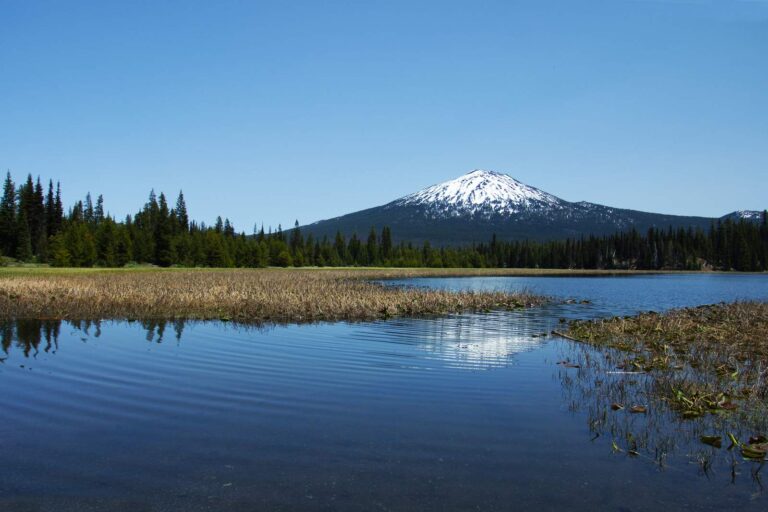
Photo: Bonnie Moreland, Public domain
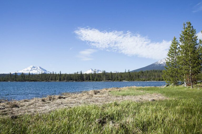
Photo: Bonnie Moreland, Public domain
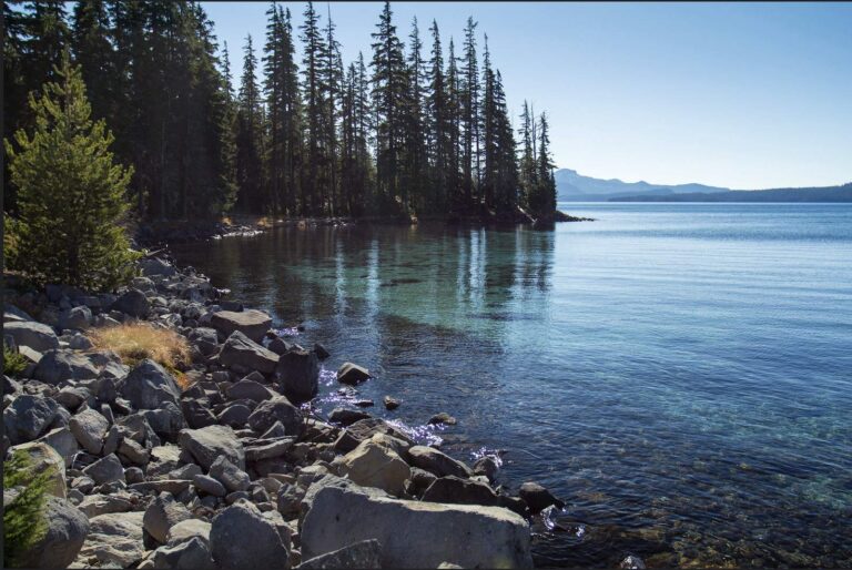
Photo: Bonnie Moreland, Public domain

Photo: U.S. Forest Service- Pacific Northwest Region, Public domain
Oregon shore fishing questions
How many Oregon shore spots have pages?
16 piers and docks with enough facts for a page.
Where do the shore sites come from?
The Oregon Coastal Management Program shoreline access inventory and the ODFW marine shore fishing maps.
Why do some ODFW spots have no map point?
The ODFW maps print them without coordinates and no authoritative point was found, so they are listed by name only.
Can I crab from a public dock?
Bays, piers and jetties are open for crabbing all year under the Marine Zone row; the ocean closes for a few weeks in autumn.
Is a license needed on an Oregon dock or pier?
Yes; Oregon has no free-pier exemption, except on the free fishing weekends.
Are jetty sites safe?
Jetties are exposed to waves; ODFW and park managers post warnings, and conditions change with the tide.
How many jetties are mapped?
11.
Do shore pages list limits?
Yes, the Marine Zone or inland zone rows for the water at each site.