Fishing in Benton County, Oregon
County seat: Corvallis. Population 95,184.
- 0shore sites
- 11open launches
- 2river pages
 Pick for bullheadPiscifun LumiCat II catfish rod48% OFFSale $114.99
Photo of Yaquina Bay: Bonnie Moreland, CC0 1.0
The short version of fishing in Benton County
At the 2020 count Benton County held 95,184 residents, and its courthouse is in Corvallis. Most waters ODFW lists in Benton County fall under the ODFW Willamette Zone table, though zone lines follow drainages rather than county lines.
The OSMB access layer lists 11 open launches here, 8 for trailer launching.
Census 2020 population; BLM Oregon NHD lake outlines; OSMB Boating Access Sites; DLCD and ODFW shore access layers; 2026 Oregon Sport Fishing Regulations zone lists; read November 2, 2026.
Where the put-ins of Benton County are
OSMB launch points, DLCD and ODFW shore sites, NHD lake points, PMEP estuary points; read November 2, 2026.
Still water across Benton County
Benton County has few lake pages of its own, so the closest ones past its line are listed by miles from Corvallis.
| Lake | From Corvallis | Acres | Kind | OSMB launches | Fish mapped |
|---|---|---|---|---|---|
| Waverly Lake | 11 miles northeast | 10 (outline) | lake | 1 | bluegill, brown bullhead, largemouth bass |
| Timber-Linn Lake | 12 miles northeast | 6 (outline) | lake | 0 | bluegill, brown bullhead, largemouth bass |
| Cheadle Lake | 20 miles east | 72 (outline) | lake | 1 | |
| Hult Log Storage Reservoir | 25 miles southwest | 41 (outline) | reservoir | 1 | bluegill, brown bullhead, cutthroat trout |
| Aaron Mercer Reservoir | 25 miles northwest | 56 (outline) | reservoir | 0 | cutthroat trout, largemouth bass |
| Willamette Slough | 27 miles northeast | 58 (outline) | lake | 2 | largemouth bass |
BLM Oregon hydrography lake outlines (NHD), summed by GNIS name (layer), read November 2, 2026. Species: ODFW Fish Habitat Distribution layers (ODFW ArcGIS), read November 2, 2026; a mapped species is habitat use ODFW records, not a catch report. ODFW publishes no lake depths in these layers.
 For the bullhead herePiscifun Chaos XS round baitcaster36% OFFSale $57.99
Species on the water pages near Benton County
Within 40 miles of Corvallis the most-listed fish is rainbow trout.
Species from ODFW Fish Habitat Distribution layers, booklet exceptions and ODFW records, counted per water page within 40 miles; habitat mapping, not a catch survey.
Further lakes on the Benton County outline map
The outline map shows 15 further named lakes in Benton County, listed by mapped acreage.
| Water | Acres (outline) | Nearest place |
|---|---|---|
| Clemens Log Pond | 84 | Philomath |
| Thompson Lake | 29 | Philomath |
| McBee Lake | 28 | Philomath |
| Winkle Lake | 27 | Philomath |
| Larson Log Pond | 24 | Corvallis |
| Harkens Lake | 20 | Harrisburg |
| Nusbaum Farms Reservoir | 18 | Philomath |
| Emory Moore Reservoir | 17 | Philomath |
| Thornton Lake | 15 | Albany |
| Martins Lake | 14 | Harrisburg |
| Whitaker Lake | 12 | Philomath |
| Lake of the Winds | 10 | Philomath |
| G P Reservoir | 5 | Millersburg |
| Bonner Lake | 4 | Philomath |
| Calloway Reservoir | 2 | Corvallis |
BLM Oregon hydrography lake outlines (NHD), summed by GNIS name (layer), read November 2, 2026.
Moving water in Benton County
- Long Tom RiverODFW maps spring chinook runs, 3 USGS gauges, 2 booklet exceptions
- Marys RiverODFW maps coho, spring chinook and winter steelhead runs, 1 USGS gauge, 2 booklet exceptions
Rivers of Benton County still without a page (4)
- East Fork Marys Riverstream
- North Fork Alsea RiverODFW maps coho, fall chinook and spring chinook runs
- South Fork Alsea RiverODFW maps coho, fall chinook and spring chinook runs
- West Fork Marys Riverstream
How fast the rivers of Benton County are running
| USGS gauge | Latest reading | Time (ET) |
|---|---|---|
| Willamette River At Corvallis, Or | 5,920 cfs, 10.95 ft gage height | Nov 11 8:15 pm |
| Long Tom River At Monroe, Or | 825 cfs, 5.45 ft gage height | Nov 11 9:20 pm |
| Marys River Near Philomath, Or | 60 cfs, 2.63 ft gage height | Nov 11 9:00 pm |
US Geological Survey provisional data, retrieved Nov 11, 2026 9:33 pm ET. Provisional readings can be revised.
ODFW Fish Habitat Distribution stream names and runs, OSMB launches, booklet exceptions and USGS gauges; read November 2, 2026.
Launch sites across Benton County
- Anderson Point boat ramp on Willamette RiverWillamette River, trailered launch
- Campbell Park on Alsea RiverAlsea River, 1 lane, trailered launch
- Hubert K McBee put-in launch on Alsea River South ForkAlsea River South Fork, 1 lane, hand carry launch
- Hyak Park on Willamette RiverWillamette River, 1 lane, trailered launch
- Irish Bend Park on Willamette RiverWillamette River, hand carry launch
- Mill Creek Boat Landing on Alsea RiverAlsea River, 1 lane, trailered launch
- Missouri Bend Slide boat ramp on Alsea RiverAlsea River, 1 lane, boat slide
- North Riverfront Park on Willamette RiverWillamette River, 1 lane, trailered launch
- Salmonberry Park on Alsea RiverAlsea River, 1 lane, trailered launch
- Takena Landing on Willamette RiverWillamette River, 1 lane, trailered launch
- Willamette Boat LandingWillamette River, 1 lane, trailered launch
Status comes straight from OSMB, and closed launches are rows only.
Oregon State Marine Board Boating Access Sites layer (OSMB ArcGIS), read November 2, 2026; status as OSMB publishes it. Oregon Coastal Management Program (DLCD) Shoreline Access Inventory (layer) and the ODFW shore access map, read November 2, 2026.
Bag rows for a day in Benton County
Waters in Benton County without an exception of their own follow the zone rows below. Oregon residents pay $50 for the annual angling license, visitors $138. Add the Combined Angling Tag, $69 resident, before keeping salmon or steelhead.
| Species | Limit | Season |
|---|---|---|
| Trout | Lakes: 5 per day, 3 daily limits in possession. Streams: catch-and-release only, unless noted under Exceptions; 8-inch minimum | Lakes: Open all year. Streams: Open May 22 – Oct 31 unless noted under Exceptions. |
| Kokanee | 10 per day unless noted under Exceptions. | Open all year. |
| Salmon and Steelhead below Willamette Falls and Columbia River Tributa. | In the aggregate: 2 adult salmon or steelhead per day, 20 per year. 5 jacks per day, 2 daily jack limits in possession. | Closed in all waters unless noted under Exceptions. |
| Salmon above Willamette Falls | 2 adult salmon per day, 5 jacks per day, 2 daily jack limits in possession. 20 salmon and steelhead per year in aggregate. | Closed in all waters unless noted under Exceptions. |
| Steelhead above Willamette Falls | 3 adult steelhead per day (in addition to daily salmon bag limit). 20 salmon and steelhead per year in aggregate. | Closed in all waters unless noted under Exceptions. |
| Sturgeon | Catch-and-release only, unless noted under Exceptions. | Catch-and-release: Open all year, except as noted under Exceptions. |
| Bass | Lakes: 5 per day, 3 daily limits in possession unless noted under Exceptions. Streams: No limit. | Lakes: Open all year. Streams: Open during trout, salmon or steelhead seasons, except mainstem Willamette River and sloughs and tidewater areas of Columbia. |
| Bluegill, Catfish, Crappie, Other Sunfish, Walleye, Yellow Perch, Stri. | No limit, unless noted under Exceptions. | Lakes: Open all year. Streams: Open during trout, salmon or steelhead seasons, except mainstem Willamette River and sloughs and tidewater areas of Columbia. |
| Pacific Lamprey | Refer to General (Statewide) Regulations for regulations covering the harvest of Pacific lamprey. | Refer to General (Statewide) Regulations for regulations covering the harvest of Pacific lamprey. |
| Smelt | Closed. | Closed. |
Booklet rows naming Benton County waters (4)
| Water | Species | Rule | Booklet |
|---|---|---|---|
| Long Tom River and Tributaries | trout | Open all year for trout. Harvest allowed May 22 – Oct 31, 2 per day, 8 inch minimum length, remainder of year catch-and-release. | p. 46 |
| Long Tom River and Tributaries | Use of bait allowed. | p. 46 | |
| Marys River and Tributaries | trout | Open all year for trout. Harvest allowed May 22 – Oct 31, 2 per day, 8 inch minimum length, remainder of year catch-and-release. | p. 46 |
| Marys River and Tributaries | Use of bait allowed. | p. 46 |
Limits as printed in the 2026 Oregon Sport Fishing Regulations (ODFW, eRegulations edition) (Willamette Zone page), read November 2, 2026. Water exceptions as printed in the 2026 Oregon Sport Fishing Regulations (ODFW, eRegulations edition) (booklet PDF; printed page shown), read November 2, 2026. In-season changes from ODFW override them. Fees as printed on the ODFW license, tag and permit fee page of the 2026 Oregon Sport Fishing Regulations (ODFW, eRegulations edition) (fees page), read November 2, 2026.
Record weights from Benton County waters
Records closest to Benton County came from the waters below.
| Species | Weight | Water | Date |
|---|---|---|---|
| White Catfish | 15 lb 0 oz | Tualatin River | 1989 |
| Coho Salmon | 25 lb 5.25 oz | Siltcoos Lake | 1966 |
| Smallmouth Bass | 8 lb 1.76 oz | Henry Hagg Lake | 2005 |
| Bullhead Catfish | 3 lb 7 oz | Henry Hagg Lake | 2001 |
Oregon record fish as listed by Oregon Department of Fish and Wildlife (record fish article, dated March 4, 2026), read November 2, 2026.
Bait counters around Benton County
Bait counters of Benton County
- Fisherman's Cornerbait and tackle shop, Philomath
- Watershed Fly Shopfly shop, Corvallis
- Bi-Mart (Corvallis)sporting goods store, Corvallis
- Bi-Mart (Corvallis/Philomath Hwy)sporting goods store, Corvallis
Yellow Pages and store-locator listings, guide and charter business listings (county of the business), read November 2, 2026.
Around Benton County
Communities around Benton County
- Corvallispop. 59,922
- Philomathpop. 5,350
Counties touching Benton County
- Lincoln County26 miles west
- Polk County27 miles north
- Linn County43 miles east
- Lane County48 miles southeast
Piscifun gear an angler could carry out to Benton County


Piscifun and Amazon links are affiliate links; the site earns a commission on qualifying purchases.
The look of the water close to Benton County
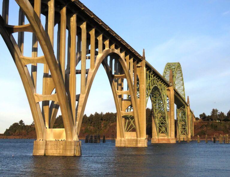
Photo: ALAN SCHMIERER, CC0 1.0
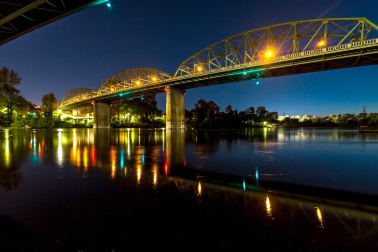
Photo: Oregon Department of Transportation, CC BY 2.0
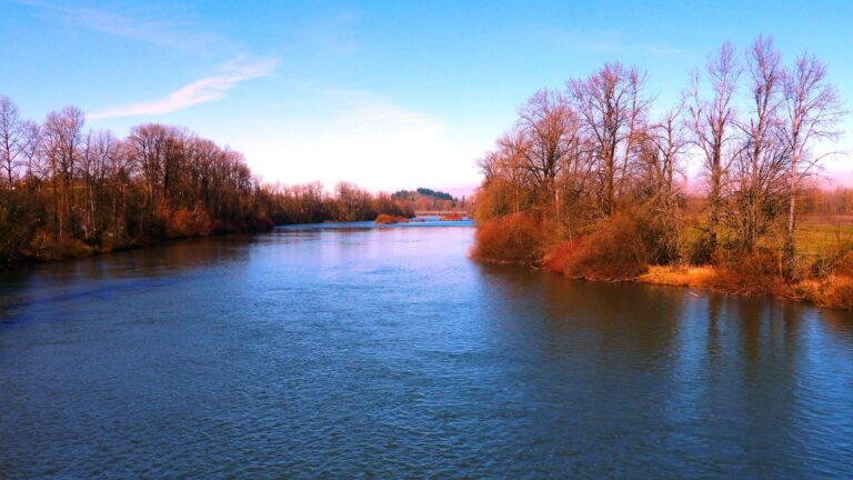
Photo: Rick Obst, CC BY 2.0
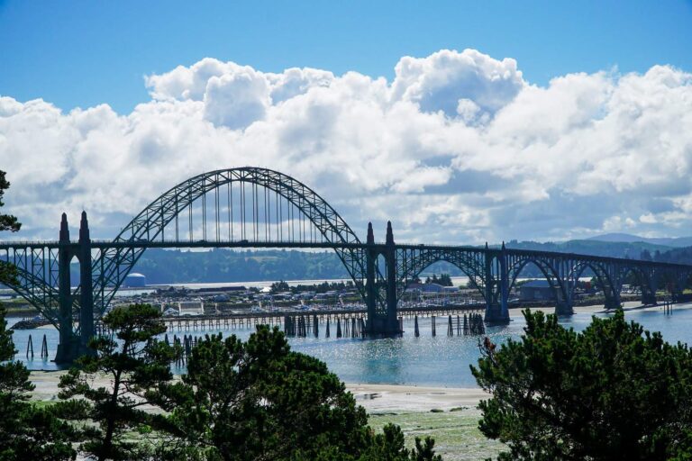
Photo: alans1948, CC BY 2.0
Short answers on fishing Benton County
Where can I put a boat in around Benton County?
There are 11 open launches, 8 with a trailer ramp.
Which Benton County lake spreads over the most mapped acres?
No lake page falls inside; Waverly Lake, 11 miles away, is closest.
What fish show up most near Benton County?
Rainbow trout lead the count of water pages within 40 miles, then cutthroat trout, largemouth bass and chinook salmon.
Which Benton County stores carry fishing gear?
4 listed, including Fisherman's Corner.
Are there charter or guide listings in Benton County?
The guide and charter listings name no business in this county.
In which town does Benton County hold court?
Corvallis is the seat.
What does ODFW charge to fish in Benton County?
Annual angling runs $50 for residents of Oregon and $138 for everyone else in 2026. Retained salmonids, sturgeon and halibut are logged on the $69 resident Combined Angling Tag.
Which counties border Benton County?
Lincoln County, Polk County and Linn County lie closest.
Which regulation zone fits Benton County?
ODFW files most of the Benton County waters it names under the ODFW Willamette Zone rows, with drainages, not county lines, setting the edges.
Does the booklet set exceptions in Benton County?
The 2026 booklet prints 4 water exceptions reaching this county, starting with Long Tom River and Tributaries; the table above shows each.
Give Benton County a weekend of fishing
Launch pages give lanes, amenities and directions.