St. Mary Lake Fishing
A Montana natural lake of 3,933 acres in Glacier County.
 Pick for troutPiscifun Carbon X ultralight spinning reel28% OFFSale $57.99
Photo of Whitefish Lake: USDA Rural Development, Public domain
Sizing up St. Mary Lake before the Montana drive
St. Mary Lake, in Glacier County, covers 3,933 acres according to Montana FWP. Its mapped outline adds up to about 3,933 acres of mapped outline. Of Census towns, North Browning lies nearest at about 23 miles.
District on file: FWP’s National Park Service fishing district, with FWP Region 1. It has no ramp in the Fishing Access Sites data.
Size as the FWP FishMT page for St. Mary Lake prints it (FishMT), read November 12, 2026.
Outline area from the FWP Lakes reference layer (ArcGIS service; mapped polygon area, not an FWP surface-acre figure), read November 12, 2026.
Montana FWP FishMT waterbody page for St. Mary Lake, read November 12, 2026.
U.S. Census Bureau, 2020 Census counts (TIGERweb) and the 2023 Gazetteer, read November 12, 2026.
FWP details for St. Mary Lake
Its FishMT elevation is 4,495 feet above sea level. Outflow, as FishMT prints it: Saint Mary River.
FWP flags a fish consumption advisory on its FishMT page for St. Mary Lake; read FWP's current guidance before you keep fish to eat.
Montana FWP FishMT waterbody page for St. Mary Lake, read November 12, 2026.
The St. Mary Lake fish list, per MFISH
FWP's abundance wording for St. Mary Lake is reproduced below, and a blank rating means the layer lists the fish without one.
| Species | MFISH rating |
|---|---|
| Brook trout | listed |
| Burbot | listed |
| Lake trout | listed |
| Lake whitefish | listed |
| Northern pike | listed |
| Rainbow trout | listed |
| Westslope cutthroat trout | listed |
FWP MFISH fish distribution layer (ArcGIS service), read November 12, 2026. Presence is mapping data, not a catch report.
 For the trout herePiscifun Carbon XT ultralight spinning reel25% OFFSale $59.99
Montana ramps and hand launches at St. Mary Lake
With no ramp on file at St. Mary Lake, look to the launches below or fish from the bank.
Montana ramps a short tow past St. Mary Lake
- Paul's Memorial Fishing Access Site on Lake FiveLake Five, 30 miles southwest
- Teakettle Fishing Access Site on Flathead RiverFlathead River, 39 miles southwest
No lane count, hours or launch price at St. Mary Lake comes from the data; each site page shows FWP's own rows.
FWP Fishing Access Sites layer (ArcGIS service) and the FishMT site pages, read November 12, 2026.
Montana limits that apply at St. Mary Lake
FishMT and the exceptions pages stay silent on a district for St. Mary Lake; the booklet map decides.
The rules here are from the 2026 Montana Fishing Regulations, valid March 1, 2026 through the end of February 2027; FWP had published no 2027 booklet when this was checked.
Anglers 12 and older buy a Conservation License, an aquatic invasive species pass and a fishing license; the 2026 Montana Fishing Regulations prints $8, $2 and $21 for a resident full season and $10, $7.50 and $100 for a nonresident.
2026 Montana Fishing Regulations (valid March 1, 2026 through February 28, 2027; FWP PDF), read November 12, 2026.
License prices as printed on the FWP fishing license page and in the 2026 Montana Fishing Regulations, p. 12 (the two agree), read November 12, 2026.
National park water at St. Mary Lake
The mapped water lies inside Glacier National Park, so National Park Service rules apply there; read the park's fishing page before you go.
A Montana fishing license from FWP does not by itself settle every question on this water, so confirm with the other manager.
2026 Montana Fishing Regulations (valid March 1, 2026 through February 28, 2027; FWP PDF), read November 12, 2026.
St. Mary Lake and nearby Montana lakes in one table
At 2,177 acres, Lower Saint Mary Lake outsizes the other nearby waters in the table.
| Water | Distance | Size | County | Ramps | Fish on FWP list |
|---|---|---|---|---|---|
| St. Mary Lake | 3,933 acres | Glacier County | 0 | 7 | |
| Lower Saint Mary Lake | 7 miles northeast | 2,177 acres | Glacier County | 0 | 7 |
| Sherburne Lake | 9 miles northwest | 1,368 acres | Glacier County | 0 | 6 |
| Hidden Lake (Flathead County) | 12 miles west | 272 acres | Flathead County | 0 | 1 |
| Duck Lake | 13 miles northeast | 1,446 acres | Glacier County | 0 | 3 |
| Goose Lake (Glacier County) | 15 miles northeast | 242 acres | Glacier County | 0 | 1 |
FWP FishMT pages, the Fishing Access Sites layer and the FWP Lakes layer; outline sizes are GIS figures. Read November 12, 2026.
A short stretch past St. Mary Lake
Backup Montana lakes when St. Mary Lake is slow
- Lower Saint Mary Lake7 miles northeast
- Sherburne Lake9 miles northwest
- Hidden Lake (Flathead County)12 miles west
- Duck Lake13 miles northeast
- Goose Lake (Glacier County)15 miles northeast
Tackle counters on the road to St. Mary Lake
- Arends Fly Shopfly shop, Columbia Falls, 38 miles
- Montana Fly Cofly shop, Columbia Falls, 40 miles
- Salmon Forks Outfittersbait and tackle shop, Columbia Falls, 42 miles
- Lakestream Fly Fishing Shopfly shop, Whitefish, 44 miles
- Whitefish Lake Marinamarina, Whitefish, 45 miles
- Triple Divide Sports Warehousebait and tackle shop, Kalispell, 49 miles
Montana guide businesses close to St. Mary Lake
- Morning Star Troutfitters/Svcfishing guide, Browning, (406) 338-2785
Finding a bunk close to St. Mary Lake
- North Browning23 miles
- Browning24 miles
- Columbia Falls40 miles
Montana county write-ups naming St. Mary Lake
- Glacier Countyseat: Cut Bank
Piscifun gear a Treasure State angler could bring to St. Mary Lake


Piscifun and Amazon links are affiliate links; the site earns a commission on qualifying purchases.
Divide-country water near St. Mary Lake, on camera
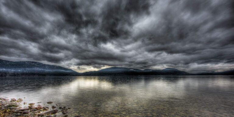
Photo: greg westfall, CC BY 2.0
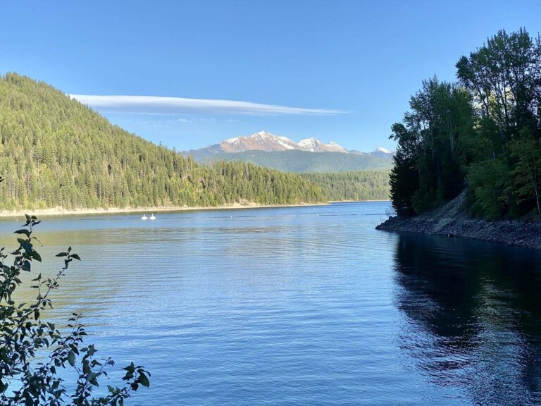
Photo: Warren LeMay, CC BY-SA 2.0
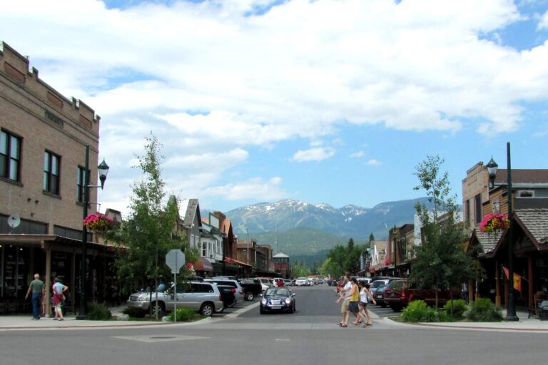
Photo: ted, CC BY 2.0
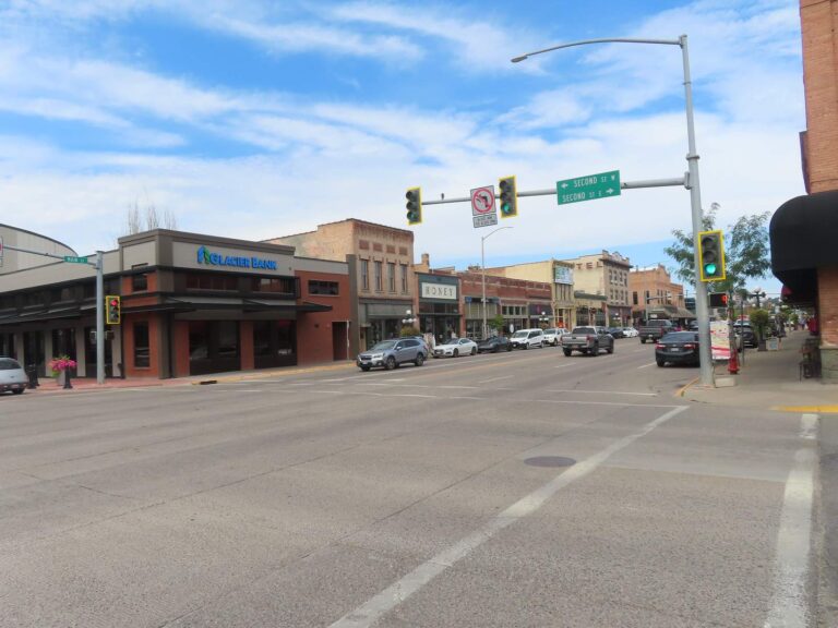
Photo: David Wilson, CC BY 4.0
The usual puzzlers about St. Mary Lake
Which Montana town is closest to St. Mary Lake?
County lines put it in Glacier County; the nearest Census town, North Browning, is about 23 miles away.
About how many acres is St. Mary Lake?
FishMT gives 3,933 acres; the mapped outline is about 3,933 acres of mapped outline.
What put-ins serve St. Mary Lake?
The site data list none; see the nearby ramps.
Which fish does FWP map in St. Mary Lake?
On the MFISH list: brook trout, burbot, lake trout, lake whitefish and northern pike.
What limits does Montana set at St. Mary Lake?
It follows the National Park Service district chart; the matching rows are in the limits band.
What paper must I carry for St. Mary Lake?
Anglers 12 and older buy a Conservation License, an aquatic invasive species pass and a fishing license; the 2026 Montana Fishing Regulations prints $8, $2 and $21 for a resident full season and $10, $7.50 and $100 for a nonresident. Under-12 anglers are exempt.
Does FWP map shore access at St. Mary Lake?
FWP shows no land-side point for it.
Where do people buy supplies on the way to St. Mary Lake?
Arends Fly Shop, about 38 miles away tops the list.
Do other rules apply at St. Mary Lake?
The data flag it. The mapped water lies inside Glacier National Park, so National Park Service rules apply there; read the park's fishing page before you go.
Mark the free weekend for St. Mary Lake
License prices and the 2026 limits are on the Montana license page.