Fishing in Greene County, Mississippi
County seat: Leakesville. Census 2020 residents: 13,530.
- 3named waters
- 4ramps
- 2river pages
 Angler pickPiscifun Viper X spinning reel56% OFFSale $34.99
Photo of Hattiesburg: Paul Lowry, CC BY 2.0
Fishing Greene County at a glance in Mississippi
Leakesville is the county seat of Greene County, which the 2020 Census counted at 13,530 residents. The 2023 Census Gazetteer gives the county 713 square miles of land and 6 square miles of water. Of the 3 waters on file for Greene County, Turkey Fork Reservoir has the biggest size figure. A bank angler could try Leaf River and Chickasawhay River.
A boater can pick from 4 boat ramps; the data adds 1 pier or fishing point sites with no launch. Of the waters here, 1 water cross the state line.
U.S. Census Bureau, 2020 Census counts (TIGERweb) and the 2023 Gazetteer, read November 19, 2026. MDWFP Fishing Dashboard boat ramps layer (ArcGIS service), read November 19, 2026. Lanes, hours and fees are not published; the fee type is a label only.
Plotting the oxbows, creeks and ramps of Greene County
MDWFP Fishing Dashboard boat ramps layer (ArcGIS service), read November 19, 2026. Lanes, hours and fees are not published; the fee type is a label only. Water pins sit at the point MDWFP, MDMR or the USGS gives for each water.
Mississippi: lakes worth a look in Greene County
Every page closer to Leakesville than these lies beyond Greene County.
| Water | From Leakesville | Size | Access points | Kind | Operator or MDWFP label |
|---|---|---|---|---|---|
| Black Creek (Perry County) | 29 miles out, heading southwest | no size printed | 8 | creek | not printed |
| Red Creek | 34 miles out, heading southwest | no size printed | 3 | creek | not printed |
| Pascagoula River | 44 miles out, heading south | no size printed | 47 | river reach | not printed |
| Escatawpa River | 46 miles out, heading south | no size printed | 7 | river reach | not printed |
Acres as stated on the MDWFP lake page for this water (MDWFP lake page), read November 19, 2026. The MDWFP mapped polygon and the USGS outline give different figures, so each is labeled with its source. Waters with no MDWFP acreage show the layer or mapped outline figure instead, never merged. MDWFP record for this water (MDWFP source), read November 19, 2026.
Bayous and creeks winding through Greene County
- Leaf River10 access points, 4 USGS gauges, USACE site
- Chickasawhay River9 access points, 4 USGS gauges, USACE site
River stations logged within Greene County
USGS has no current reading for these gauges.
MDWFP and MDMR access-point records and USGS or USACE gauge listings for this water (source), read November 19, 2026. No flowline length is published, so none is printed. USGS Water Data for the Nation, live through the site, retrieved on page view.
Mississippi: public ramps in Greene County
- Hillsbrook Landing on Chickasawhay Riverboat ramp; Greene County
- Leaksville Ramp on Chickasawhay Riverboat ramp; Greene County
- McLAIN LANDING on Leaf Riverboat ramp; Greene County
- Turkey Fork Ramp on Turkey Fork Reservoirboat ramp; Greene County
Piers and landings across Greene County
- Turkey Fork Pier on Turkey Fork Reservoirfishing pier; Greene County
MDWFP Fishing Dashboard boat ramps layer (ArcGIS service), read November 19, 2026. Lanes, hours and fees are not published; the fee type is a label only.
The smaller lakes, creeks and bayous of Greene County, with pins
Still water: lakes, ponds and oxbows in Greene County
| Water | Kind | Size | MDWFP label | Access | Map pin |
|---|---|---|---|---|---|
| Turkey Fork Reservoir | reservoir | an NHD outline near 243 acres | not printed | 2 | 31.3463, -88.7030 |
MDWFP record for this water (MDWFP source), read November 19, 2026. Outline area from the USGS National Hydrography Dataset polygon (NHD service; mapped area, not a surveyed surface-acre figure), read November 19, 2026.
Mississippi record fish tied to water in Greene County
| Species | Weight as printed | Water | Date | Division |
|---|---|---|---|---|
| Warmouth | 1 lb 8 oz | Black Creek (Perry County) | 6/17/1979 | Rod and Reel |
| Redfin Pickerel | 0.16 lbs | Black Creek (Perry County) | 10/6/2022 | Rod and Reel |
| Shadow Bass | 0.34 | Black Creek (Perry County) | 9/9/2020 | Fly Fishing |
| Dollar Sunfish | 0.06 lbs | Bogue Homa Creek | 8/12/2021 | Rod and Reel |
Freshwater records from MDWFP (mdwfp.com) and saltwater records from MDMR (dmr.ms.gov), read November 19, 2026. Angler names are not printed.
Mississippi: tackle shops and guides in Greene County
Where to buy crickets and minnows near Greene County
- Sandy's Auto & Hardwarebait and tackle shop, McLain
Yellow Pages and operator listings (city of business), read November 19, 2026. Guides appear as businesses; no license or permit status is implied.
Minutes from Greene County by gravel and blacktop
Mississippi: home bases for fishing Greene County
- Leakesville2020 count 3,775
- McLain2020 count 313
Mississippi: bordering counties of Greene County
- Perry County21 miles out, heading west
- George County25 miles out, heading south
- Wayne County30 miles out, heading north
- Forrest County37 miles out, heading west
How this site files Greene County
For listings the county falls under piney Woods and Southwest, drawn by this site from map coordinates.
Piney Woods and Southwest tackle shops
Pages worth opening for Greene County
Mississippi fishing this week
Mississippi stocking history
Mississippi fish advisories
Piscifun rods plus a pair of pliers packed for the drive to Greene County


Piscifun and Amazon links are affiliate links; the site earns a commission on qualifying purchases.
Cypress banks and red clay shores around Greene County, photographed
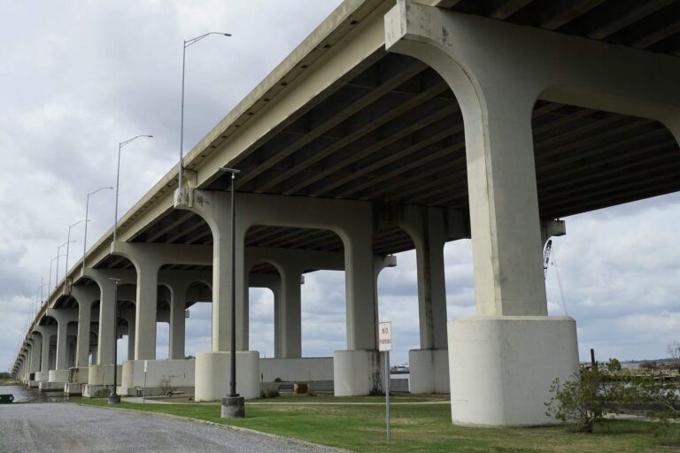
Photo: formulanone, CC BY-SA 4.0
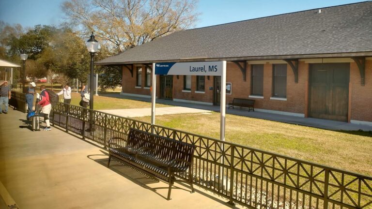
Photo: Paul Lowry, CC BY 2.0
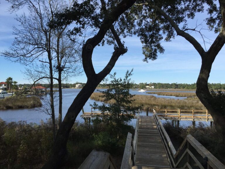
Photo: NatalieMaynor, CC BY 2.0
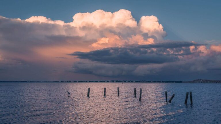
Photo: Marty B, CC BY-SA 2.0
Mississippi: short replies about fishing around Greene County
Where can a johnboat go in around Greene County?
The MDWFP and MDMR layers list 4 ramps, named above with directions.
Which water carries the largest acre figure in Greene County?
Turkey Fork Reservoir: an NHD outline near 243 acres.
What do the records say about fish in Greene County waters?
MDWFP prints no species list for the county waters; the state record table and the species pages hold the fish information on this site.
Does a tackle shop have a listing in Greene County?
1 altogether, Sandy's Auto & Hardware among them.
Which community seats the government of Greene County?
The courthouse and county clerk work out of Leakesville.
How much does MDWFP charge to fish in Greene County?
MDWFP charges $25 for the resident all-game hunting and freshwater fishing license and $68 for a nonresident freshwater license, not counting agent fees.
Which adjacent counties come after Greene County on a map?
Measured from county centers: Perry County, George County and Wayne County.
What do limits look like for Greene County water?
Limits come from the Rule 1.4 statewide rows unless the water has a row of its own, and a water-specific row replaces the statewide limit for the fish it names; each lake and river page on this site prints its rows. Source for the rules: MDWFP Rule 1.4 (April 2026) and its public water body regulations pages, read Nov. 19, 2026; web pages summarize the Administrative Code, so the code controls.
Can I look up a named bayou of Greene County on this page?
The rows above are the waters that have no page of their own, each pinned; 3 waters are on file for the county altogether.
Pick a bayou, oxbow or river bend in Greene County
Each pinned row gives where the water is and how big it is.