Fishing in Garrett County, Maryland
County seat: Oakland. Census 2020 residents: 28,806.
- 36named waters
- 11ramps
- 10river pages
 Pick for troutPiscifun Carbon X ultralight spinning reel19% OFFSale $56.99
Photo of Youghiogheny River Lake: U.S. Army Corps of Engineers, CC BY 2.0
A short tour of the water in Garrett County
In Maryland, the 2020 Census found 28,806 people in Garrett County, with Oakland as the seat. On the Gazetteer sheet the county runs to 649 square miles of land and 8.7 square miles of water. The county map holds 36 waters; Deep Creek Lake spreads over the most area. Rivers with a page of their own here include North Branch Potomac River, Youghiogheny River and Savage River.
DNR layers place 11 boat ramps within county limits, with 49 piers and fishing points extra sites that have no ramp. 72 stocking entries in Garrett County sit in the 2026 trout stocking table; the latest delivery is dated Oct. 8, 2026. Water-specific rows touch 8 waters in the county. Crossing the line applies to 4 waters; check which license covers each.
U.S. Census Bureau, 2020 Census counts (TIGERweb) and the 2023 Gazetteer, read November 20, 2026. DNR Maryland Water Access Sites layer (ArcGIS service), read November 20, 2026. Lanes, hours and fees are as the layer publishes them and are not a statement of condition.
 For the trout herePiscifun Carbon XT ultralight spinning reel39% OFFSale $54.99
Dated stocking rows tied to Garrett County
- Savage ReservoirOct. 8, 2026, Rainbow/Golden, 1,750 fish
- Casselman RiverOct. 7, 2026, Rainbow/Golden, 1,500 fish
- North Branch Potomac RiverMay 18, 2026, Rainbow, 430 fish
- Bear Creek (Garrett County)May 11, 2026, Rainbow/Golden, 1,520 fish
- Bear Creek (Garrett County)May 11, 2026, Rainbow, 1,520 fish
- North Branch Potomac RiverMay 8, 2026, Rainbow, 450 fish
- North Branch Potomac RiverMay 8, 2026, Rainbow, 910 fish
- Georges CreekMay 8, 2026, Rainbow, 320 fish
DNR publishes only the current season; these rows run to the last delivery of 2026. Maryland stocking page
Stocking events from the Maryland DNR trout stocking feed behind its Trout Stocking page (DNR trout stocking), read November 20, 2026. DNR lists only the current season; the closure code is not interpreted.
Coves, ponds and ramps pinned across Garrett County
DNR Maryland Water Access Sites layer (ArcGIS service), read November 20, 2026. Lanes, hours and fees are as the layer publishes them and are not a statement of condition. Water pins sit at the point DNR or the USGS gives for each water.
Still-water choices in Garrett County
| Lake | Size | Access points | Kind | Operator or DNR label |
|---|---|---|---|---|
| Deep Creek Lake | 3,900 acres | 2 | lake | Maryland Department of Natural Resources |
| Youghiogheny River Reservoir | 2,800 acres | 0 | reservoir | not printed |
| Jennings Randolph Lake | about 869 acres on the DNR layer | 2 | lake | US Army Corps of Engineers |
| Savage Reservoir | about 361 acres on the DNR layer | 2 | reservoir | Maryland Department of Natural Resources |
| Broadford Lake | 140 acres | 1 | lake | Town of Oakland |
| Piney Reservoir | 120 acres | 1 | reservoir | City of Frostburg |
| Herrington Lake | about 42 acres on the DNR layer | 1 | lake | not printed |
| New Germany Lake | about 10 acres on the DNR layer | 2 | lake | Maryland Department of Natural Resources |
| Accident Pond | no size printed | 1 | pond | Town of Accident |
| Glades Park Pond | no size printed | 1 | pond | Garrett County Community Action Committee |
| Parkview Pond | no size printed | 1 | pond | Town of Grantsville |
Acres as stated in the DNR hotspot page text for this water (DNR hotspot page), read November 20, 2026. The DNR Maryland Lakes polygon gives a different figure, so each is labeled with its source. Waters with no DNR acreage show the layer or mapped outline figure instead, never merged. Maryland DNR record for this water (Maryland DNR source), read November 20, 2026.
Maryland: moving water across Garrett County
- North Branch Potomac River18 access points, 4 USGS gauges, stocking history
- Youghiogheny River10 access points, 4 USGS gauges, USACE site, stocking history
- Savage River9 access points, 2 USGS gauges, stocking history
- Georges Creek3 access points, 1 USGS gauge, stocking history
- Bear Creek (Garrett County)2 access points, 1 USGS gauge, USACE site, stocking history
- Casselman River1 access point, 1 USGS gauge, USACE site, stocking history
- Little Youghiogheny River1 access point, stocking history
- Mill Run1 access point, stocking history
- Muddy Creek (Garrett County)1 access point, stocking history
- Snowy Creek1 access point, stocking history
Gauge readings tied to Garrett County for Maryland anglers
| USGS gauge | Latest reading | Time (ET) |
|---|---|---|
| North Branch Potomac River At Steyer, Md | 63 cfs, 2.37 ft gage height | Nov 21 6:15 pm |
| North Branch Potomac River At Kitzmiller, Md | 98 cfs, 2.11 ft gage height | Nov 21 6:15 pm |
| Savage River Near Barton, Md | 7 cfs, 0.92 ft gage height | Nov 21 6:15 pm |
US Geological Survey provisional data, retrieved Nov 21, 2026 7:07 pm ET. Provisional readings can be revised.
Maryland DNR access-site and trout-stocking records, special management layers and USGS or NOAA station listings for this water (source), read November 20, 2026. No flowline length is published, so none is printed. USGS Water Data for the Nation, live through the site, retrieved on page view.
Maryland: where boats go in across Garrett County
- Barnum, Blue Hole Fishing Area on North Branch Potomac Riverboat ramp; Garrett County
- Barnum, Whitewater Fishing Area on North Branch Potomac Riverboat ramp; Garrett County
- Big Run State Park boat ramp on Savage Reservoirboat ramp, gravel surface; Garrett County
- Broadford Recreational Parkboat ramp, concrete surface; Garrett County
- Crellin Fishing Area on Youghiogheny Riverboat ramp; Garrett County
- Deep Creek Lake State Park boat rampboat ramp, concrete surface; Garrett County
- Herrington Manor State Park on Herrington Creek (Garrett County)boat ramp; Garrett County
- Herrington Manor State Park on Herrington Lakeboat ramp, concrete surface; Garrett County
- Jennings Randolph Lake Fishing Areaboat ramp, concrete surface; Garrett County
- New Germany State Park on New Germany Lakeboat ramp, unknown surface; Garrett County
- Youghiogheny Reservoir – Mill Run Recreation Areaboat ramp, concrete surface; Garrett County
Maryland: fishing piers of Garrett County
- Accident Pond Fishing Areashore fishing access; Garrett County
- Barnum, Blue Hole Fishing Area on North Branch Potomac Rivershore fishing access; Garrett County
- Barnum, Whitewater Fishing Area on North Branch Potomac Rivershore fishing access; Garrett County
- Bear Creek Put & Take Areashore fishing access; Garrett County
- Bloomington Fishing Area on North Branch Potomac Rivershore fishing access; Garrett County
- Bluelick Fishing Area on Savage Rivershore fishing access; Garrett County
- Broadford Lake Fishing Areashore fishing access; Garrett County
- Casselman River Bridge State Parkshore fishing access; Garrett County
- Crabtree Fishing Area on Crabtree Creekshore fishing access; Garrett County
- Crellin Fishing Area on Youghiogheny Rivershore fishing access; Garrett County
- Crellin Underwood Road Fishing Area on Youghiogheny Rivershore fishing access; Garrett County
- Deep Creek Lake State Parkfishing pier; Garrett County
- Elklick Fishing Area on Savage Rivershore fishing access; Garrett County
- Friendsville Town Park on Bear Creek (Garrett County)shore fishing access; Garrett County
- Glades Park Pondshore fishing access; Garrett County
- Grantsville Town Park on Parkview Pondshore fishing access; Garrett County
- Herrington Creek Put and Take Area on Herrington Runshore fishing access; Garrett County
- Herrington Manor State Park on Herrington Creek (Garrett County)shore fishing access; Garrett County
- Jennings Randolph Lake Fishing Areashore fishing access; Garrett County
- Little Savage River Fishing Areashore fishing access; Garrett County
- Lower Savage River Fishing Area (east)shore fishing access; Garrett County
- Lower Savage River Fishing Area (west)shore fishing access; Garrett County
- Middlefork Fishing Area on Savage Rivershore fishing access; Garrett County
- Mill Run Put and Take Areashore fishing access; Garrett County
DNR Maryland Water Access Sites layer (ArcGIS service), read November 20, 2026. Lanes, hours and fees are as the layer publishes them and are not a statement of condition.
Named water of Garrett County logged here with its coordinates in Maryland
Still water: lakes, ponds and impoundments in Garrett County
| Water | Kind | Size | DNR label | Access | Map pin |
|---|---|---|---|---|---|
| Frostburg Reservoir | reservoir | about 105 acres on the DNR layer | not printed | 0 | 39.7059, -79.0067 |
| Grantsville Parkview Pond | pond | no size printed | not printed | 0 | 39.7001, -79.1563 |
Maryland DNR record for this water (Maryland DNR source), read November 20, 2026. Outline area from the USGS National Hydrography Dataset polygon (NHD service; mapped area, not a surveyed surface-acre figure), read November 20, 2026.
Creeks, branches and rivers in Garrett County
| Water | Kind | Size | DNR label | Access | Map pin |
|---|---|---|---|---|---|
| Arrowhead Run | creek | no size printed | not printed | 0 | 39.5027, -79.3272 |
| Buffalo Run | creek | no size printed | not printed | 0 | 39.6889, -79.4214 |
| Cherry Creek | creek | no size printed | not printed | 0 | 39.5380, -79.3158 |
| Crabtree Creek | creek | no size printed | not printed | 1 | 39.5006, -79.1607 |
| Herrington Creek (Garrett County) | creek | no size printed | not printed | 2 | 39.4633, -79.4452 |
| Herrington Run | creek | no size printed | not printed | 1 | 39.4641, -79.4438 |
| McMillan F | water | no size printed | not printed | 0 | 39.2767, -79.3903 |
| Monroe Run | creek | no size printed | not printed | 1 | 39.5493, -79.1474 |
| North Fork Sand Run | creek | no size printed | not printed | 0 | 39.2603, -79.4098 |
| North Glade Run | creek | no size printed | not printed | 0 | 39.5071, -79.2517 |
| Nydegger Run | creek | no size printed | not printed | 0 | 39.2975, -79.3502 |
| Poland Run | creek | no size printed | not printed | 0 | 39.4864, -79.2766 |
| Poplar Lick Run | creek | no size printed | not printed | 2 | 39.6182, -79.1500 |
Maryland DNR record for this water (Maryland DNR source), read November 20, 2026. Outline area from the USGS National Hydrography Dataset polygon (NHD service; mapped area, not a surveyed surface-acre figure), read November 20, 2026.
Length and creel lines for Garrett County water in Maryland
Every rule here comes from the 2026 Maryland Guide to Fishing and Crabbing summary pages that DNR links, read Nov. 20, 2026; COMAR controls and no 2027 rule or fee is printed.
- Accident Pond
- Broadford Lake
- Deep Creek LakeWalleye
- Herrington Lake
- Jennings Randolph Lake
- New Germany Lake
- Piney Reservoir
- Savage Reservoir
Rules as summarized in the Maryland Guide to Fishing and Crabbing (DNR-linked eRegulations summary pages) and the DNR Fishing Regulations page (eregulations.com), read November 20, 2026. These are abridged summaries; the Code of Maryland Regulations (COMAR) text controls.
Nontidal and tidal records with a place near Garrett County
| Species | Weight as printed | Water | Date | Division |
|---|---|---|---|---|
| Chesapeake Channa (northern Snakehead) | 21.8 lbs. | Susquehanna River | 6/07/2025 | Invasive |
| Longnose Gar | 20.5 lbs. | Marshyhope Creek | 2/08/2025 | Chesapeake Bay Division |
State records from the DNR record pages (dnr.maryland.gov) as printed in the Maryland Guide (eregulations.com), read November 20, 2026. Angler names are not printed.
Contests staged over Garrett County water in Maryland
| Date | Event | Water | Organizer |
|---|---|---|---|
| Oct. 31, 2026 | Classic Bass open bass tournament, Deep Creek Lake | Deep Creek Lake | Classic Bass |
| Oct. 24, 2026 | Classic Bass open bass tournament, Deep Creek Lake | Deep Creek Lake | Classic Bass |
| Oct. 10, 2026 | Maryland Bass Nation club bass tournament, Deep Creek Lake | Deep Creek Lake | Maryland Bass Nation |
| Oct. 3, 2026 | Garrett Bassers club bass tournament, Deep Creek Lake | Deep Creek Lake | Garrett Bassers |
| Sept. 26, 2026 | Garrett Bassers club bass tournament, Jennings Randolph Lake | Jennings Randolph Lake | Garrett Bassers |
| Sept. 20, 2026 | Mountaineer Bass Fishing League club bass tournament, Deep Creek Lake | Deep Creek Lake | Mountaineer Bass Fishing League |
| Sept. 12, 2026 | Garrett Bassers club bass tournament, Deep Creek Lake | Deep Creek Lake | Garrett Bassers |
| Sept. 27, 2025 | Maryland Bass Nation Mr. Bass, Deep Creek Lake (2025) (result) | Deep Creek Lake | Maryland B.A.S.S. Nation |
| no date printed | Maryland Bass Nation SQT Trail 4, Deep Creek Lake (2026) | Deep Creek Lake | Maryland B.A.S.S. Nation |
Event as listed by the organizer (source), read November 20, 2026.
Maryland: bait and guide help in Garrett County
Restock hooks and line around Garrett County
- Backbone Mt Sport Shopbait and tackle shop, Oakland
- Bill's Outdoor Centerbait and tackle shop, Oakland
- Eastern Trophies Fly Fishingfly shop, Swanton
- Sang Run Sports Shopbait and tackle shop, Oakland
- Aquatic Center Inc.boat rental, Garrett County
- Bill's Marine SVC-Northmarina, Mc Henry
- Bill's Marine Serviceboat rental, McHenry
- Deep Creek Lake Boat Rentalsmarina, Mc Henry
- Deep Creek Marinaboat rental, McHenry
- Lakeside Dock Sales & Servicemarina, Accident
- Marine Plusmarina, Oakland
- Silver Tree Marinamarina, Garrett County
Maryland: guides who fish Garrett County
- Heavy Water Anglersfishing guide, Swanton, (443) 536-6531
- Western Maryland Guide Servicefishing guide, Creek Lake, (301) 616-6232
Business directory and operator listings (city of business), read November 20, 2026. Guides appear as businesses; no license or permit status is implied.
Closest neighbors on the map to Garrett County
Towns of Garrett County
- Mountain Lake Park2020 count 2,147
- Oakland2020 count 1,851
- Accident2020 count 338
- Swanton2020 count 66
Maryland: counties that border Garrett County
- Allegany County31 miles out, heading east
- Washington County78 miles out, heading east
- Frederick County100 miles out, heading east
- Montgomery County114 miles out, heading east
Finding Garrett County among the six map groups
This site files the county in its western Maryland group, a map grouping of our own and not an DNR region.
Dated pages for fishing in Garrett County for Maryland anglers
Maryland fishing this week
Maryland stocking history
Maryland fish advisories
Piscifun reels with spare spools for a tidewater day at Garrett County


Piscifun and Amazon links are affiliate links; the site earns a commission on qualifying purchases.
Marsh edges and working docks around Garrett County, photographed
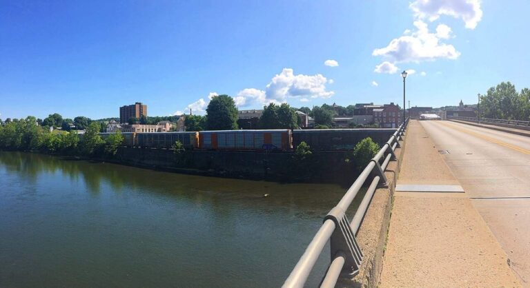
Photo: Andre Carrotflower, CC BY-SA 4.0


Photo: Aneta Kaluzna, CC BY-SA 3.0

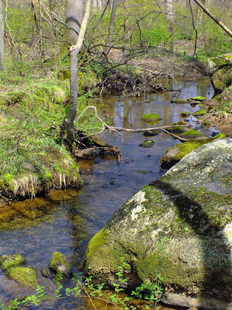
Photo: Nicholas, CC BY 2.0

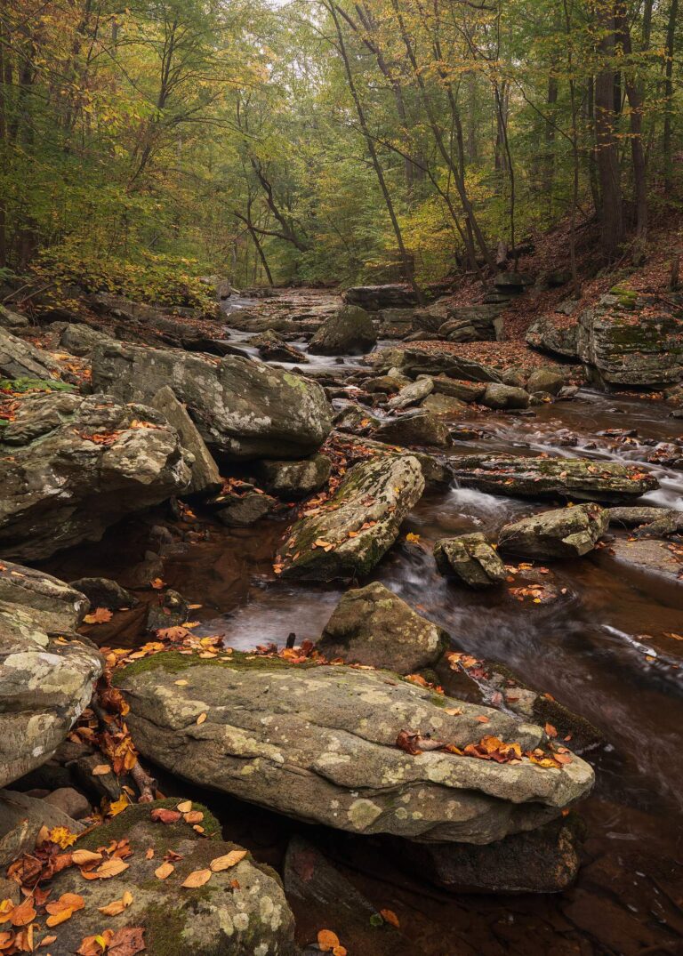
Photo: John Brighenti, CC BY 2.0

Wetting a line in Garrett County: the usual questions
Maryland: Where do trailers back down to the water in Garrett County?
11 ramps appear in the list above.
Maryland: Which lake is the biggest in Garrett County?
Deep Creek Lake is the biggest, 3,900 acres.
Maryland: Which fish turn up in the stocking history for Garrett County?
The county stocking rows name rainbow trout and rainbow trout/golden rainbow trout; a stocking row shows what a hatchery delivered, not a catch.
Where do anglers in Garrett County go for crankbaits and line in Maryland?
12 entries, Backbone Mt Sport Shop included.
Where is the seat of Garrett County located in Maryland?
In Maryland, Oakland is the seat.
What does a Maryland fishing license cost for Garrett County?
From the 2026 fee table: $32 for a resident nontidal sport fishing license, $55 for a nonresident one, before any service fee.
Maryland: What counties are nearest Garrett County?
Ordered by distance: Allegany County, Washington County and Frederick County.
Maryland: Which limits govern the water of Garrett County?
Limits come from the DNR statewide tables unless the water has a row of its own, and a water-specific row replaces the statewide limit for the fish it names; each lake and river page on this site prints its rows. Every rule here comes from the 2026 Maryland Guide to Fishing and Crabbing summary pages that DNR links, read Nov. 20, 2026; COMAR controls and no 2027 rule or fee is printed.
Where do Garrett County waters with no page of their own show up in Maryland?
Below are the 36 waters; any that lack a page of their own appear as a pinned row.
Does DNR print water-specific rows for Garrett County?
Rule tables name 8 waters that have pages on this site, starting with Accident Pond.
Maryland: Is stocking noted for waters in Garrett County?
The 2026 trout stocking table lists 72 deliveries for the county, the latest dated Oct. 8, 2026; DNR publishes only the current season, and fall stocking is complete.
Have organizers posted a derby on Garrett County water in Maryland?
9 entries on file; nothing is dated later.
A first-light cast in Garrett County
In Maryland, river pages carry their access points and the gauges nearest them.