Savage River Fishing
A river in Garrett County, Maryland.
 Pick for troutPiscifun Carbon X ultralight spinning reel19% OFFSale $56.99
Photo: Aneta Kaluzna, CC BY-SA 3.0
Maryland: what to know about the Savage River
A river in Garrett County, Savage River is tied to the site by 2 USGS gauges and 4 stocking events. Westernport is the closest Census town, roughly 6 miles away.
No put-in is mapped. Gauge coverage: 2.
Maryland DNR access-site and trout-stocking records, special management layers and USGS or NOAA station listings for Savage River (source), read November 20, 2026. No flowline length is published, so none is printed.
U.S. Census Bureau, 2020 Census counts (TIGERweb) and the 2023 Gazetteer, read November 20, 2026.
 For the trout herePiscifun Carbon XT ultralight spinning reel39% OFFSale $54.99
Maryland: water data for the Savage River
USGS has no current reading for these gauges.
The numbers belong to the gauge site, not to the stream as a whole.
USGS Water Data for the Nation, live through the site, retrieved on page view.
What the DNR record ticks for Savage River
| Type as printed | County | Location or comment as printed |
|---|---|---|
| Put & Take | Garrett | |
| Trophy Trout – Artificial Lures and Flies Only | Garrett | |
| Trophy Trout – Artificial Flies Only | Garrett | |
| Zero Creel Limit – Brook Trout | Garrett |
Maryland DNR access-site and trout-stocking records, special management layers and USGS or NOAA station listings for Savage River (source), read November 20, 2026. No flowline length is published, so none is printed.
Delivery dates DNR lists for Savage River
The department feed for Savage River carries 4 stocking events; the earliest is dated March 19, 2026, the most recent May 5, 2026. Read Nov. 20, 2026.
| Date | Fish | Number printed | Size printed | Status words |
|---|---|---|---|---|
| May 5, 2026 | Rainbow trout | 780 | stocked, as listed by DNR | |
| April 16, 2026 | Rainbow trout/Golden rainbow trout | 780 | stocked, as listed by DNR | |
| March 23, 2026 | Rainbow trout/Golden rainbow trout | 3,130 | stocked, as listed by DNR | |
| March 19, 2026 | Rainbow trout/Golden rainbow trout | 1,560 | stocked, as listed by DNR |
DNR posts only the season in progress, so older years are absent and nothing after the last date shown is promised. Fall 2026 stocking is finished; the department says trout stocking begins again as early as February.
Stocking events from the Maryland DNR trout stocking feed behind its Trout Stocking page (DNR trout stocking), read November 20, 2026. DNR lists only the current season; the closure code is not interpreted.
Trailering to Savage River
DNR maps no boat ramp on Savage River; a hand-carried boat or a launch on a neighboring water is the plan.
Shore points mapped at Savage River
- Middlefork Fishing Area on Savage Rivershore fishing access
- Savage River Put and Take Area (south)shore fishing access
- Savage River Put and Take Area (north)shore fishing access
- Lower Savage River Fishing Area (west)shore fishing access
- Lower Savage River Fishing Area (east)shore fishing access
- Elklick Fishing Area on Savage Rivershore fishing access
- Bluelick Fishing Area on Savage Rivershore fishing access
- Mount Aetna Fishing Area on Savage Rivershore fishing access
- Little Savage River Fishing Areashore fishing access
Read each entry as a mapped point, not as a confirmed usable ramp.
DNR Maryland Water Access Sites layer (ArcGIS service), read November 20, 2026. Lanes, hours and fees are as the layer publishes them and are not a statement of condition.
The Maryland limits table, read for Savage River
Nontidal creel and length rows come first for Savage River; any rule DNR ties to this water by name follows them. Area limits apply unless the guide lists a special rule for the water; the special rows here were read from its freshwater, Chesapeake and Atlantic tables.
| Fish as printed | Daily and possession as printed | Minimum size as printed | Special |
|---|---|---|---|
| American Eel | Daily—25; Possession—25 | 9 inches | |
| Baitfish (Including Madtoms) | Daily—35 in aggregate; Possession—35 in aggregate | None | |
| Bass (Largemouth and Smallmouth) | Daily—5 in aggregate; Possession—10 in aggregate | 12 inches or as provided for by special regulations. | Catch and Release is permitted at all times. Cannot be used as bait. |
| Carp | Daily—15; Possession—30 | None | |
| Chain Pickerel | Daily—5; Possession—10 | 14 inches | Cannot be used as bait. |
| Channel Catfish | Daily—5; Possession—10 | None | |
| Crappie | Daily—15; Possession—30 | None | |
| Herring (Alewife and Blueback) | Catch and Release is permitted at all times. | ||
| Muskellunge and Tiger Muskie | Daily—1; Possession—2 | 36 inches | Cannot be used as bait. |
| Northern pike | Daily—2; Possession—4 | 30 inches | Cannot be used as bait. |
| Saugeye | Daily—5; Possession—10 | 15 inches | |
| Shad (American/White and Hickory) | Catch and Release is permitted at all times. |
These sizes and creel limits come from the 2026 tables in the Maryland Guide to Fishing and Crabbing, read Nov. 20, 2026; DNR has published no 2027 edition, so none is shown.
Prices in the Maryland Guide: $32 resident nontidal sport fishing license, $55 nonresident, with tidal and trout stamp items listed separately.
Rules as summarized in the Maryland Guide to Fishing and Crabbing (DNR-linked eRegulations summary pages) and the DNR Fishing Regulations page (eregulations.com), read November 20, 2026. These are abridged summaries; the Code of Maryland Regulations (COMAR) text controls.
License fees from the 2026 table in the Maryland Guide to Fishing and Crabbing (eregulations.com), read November 20, 2026. Agent and service fees may apply.
Consumption advice that names Savage River
The MDE advisory chart has 1 species on the list for Savage River, naming Brown Trout (PCBs); meal limits are on the chart.
Maryland Department of the Environment fish consumption advisories (mde.maryland.gov), chart PDF created May 18, 2026, page read November 20, 2026. Meal limits are on the MDE chart.
On the same stretch of road as Savage River
More moving water close to the Savage River
- Georges Creek5 miles east
- North Branch Potomac River7 miles southeast
- Casselman River10 miles north
- Bear Creek (Garrett County)15 miles northwest
- Mill Run17 miles northwest
Bait buckets and tackle on the way to Savage River
- Eastern Trophies Fly Fishingfly shop, Swanton, 5 miles
- Lakeside Dock Sales & Servicemarina, Accident, 12 miles
- Meshach Browning Tradersbait and tackle shop, Frostburg, 12 miles
- J and J'sbait and tackle shop, Frostburg, 12 miles
- Silver Tree Marinamarina, Garrett County, 12 miles
- Bill's Outdoor Centerbait and tackle shop, Oakland, 12 miles
Listed guides covering Savage River
- Heavy Water Anglersfishing guide, Swanton, (443) 536-6531
- Western Maryland Guide Servicefishing guide, Creek Lake, (301) 616-6232
Towns that put up anglers headed for Savage River
- Westernport6 miles
- Lonaconing7 miles
- Swanton10 miles
The county map around Savage River
- Garrett Countyseat: Oakland
Piscifun gear a Maryland angler could carry to Savage River


Piscifun and Amazon links are affiliate links; the site earns a commission on qualifying purchases.
Free State shoreline worth a frame near Savage River

Photo: U.S. Army Corps of Engineers, CC BY 2.0


Photo: Famartin, CC BY-SA 4.0

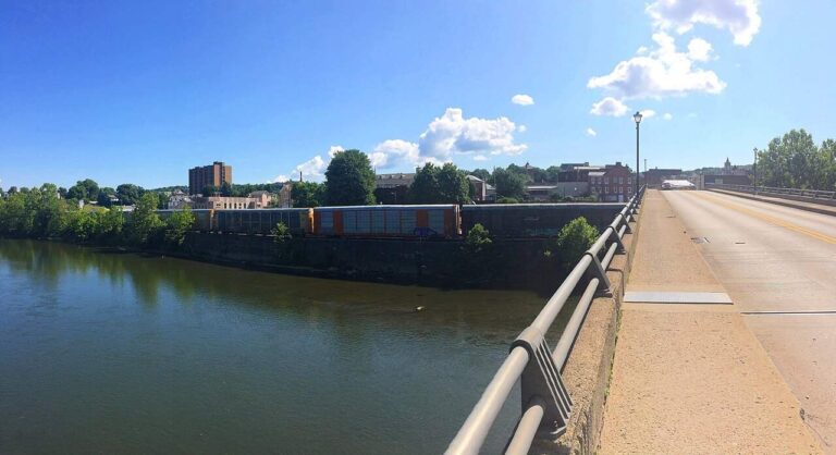
Photo: Andre Carrotflower, CC BY-SA 4.0

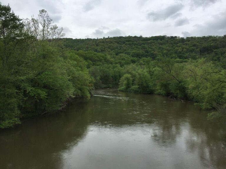
Photo: Famartin, CC BY-SA 4.0

A first-timer's checklist for Savage River, in question form
How is the Savage River monitored?
From the pages: USGS gauges on file: Savage River Near Barton, Md and Savage Riv Bl Savage Riv Dam Near Bloomington, Md. Each reports its own spot, not the whole stream.
Which towns lie along the Savage River?
Short answer: Savage River runs through Garrett County.
Where can a boat go in on the Savage River?
Worth knowing: No ramp is mapped on it, so plan on wading or bank fishing.
Which Maryland creel row governs the Savage River?
From the pages: The nontidal freshwater table applies as printed here; DNR also lists special management labels (Put & Take, Artificial Flies Only, Trophy Trout and Artificial Lures and Flies, Single Hook, Trophy Trout) tied to this water. Read the table and the current Code before keeping a fish.
What fee applies to an angler at the Savage River?
Short answer: Prices in the Maryland Guide: $32 resident nontidal sport fishing license, $55 nonresident, with tidal and trout stamp items listed separately.
What store near the Savage River carries bait?
Worth knowing: Eastern Trophies Fly Fishing, about 5 miles away, is first on the list.
Where is the nearest place for a meal by the Savage River?
From the pages: The nearest listed town is Westernport, about 6 miles away as the crow flies.
Does the site list more water close to the Savage River?
Short answer: Close by, these have full pages: Georges Creek, North Branch Potomac River and Casselman River.
Which latitude and longitude does the page use for the Savage River?
Worth knowing: Hit Directions to open a map with the Savage River placed at its filed coordinates. Access is never guaranteed; check first.
What does the stocking feed list for the Savage River?
From the pages: The feed lists 4 events for this water, the latest on May 5, 2026. DNR posts only the season in progress and states that fall stocking is complete.
Is a USGS station located on the Savage River?
Short answer: Gauges are on file, and the flow block prints each reading beside the time it was taken.
Is there an eating advisory for the Savage River?
In practice: The MDE advisory chart has 1 species on the list for Savage River, naming Brown Trout (PCBs); meal limits are on the chart.
Float or wade the Savage River for a day
Check the fee table and limits before you leave.