Piscataqua River Fishing
A tidal water in York County, Maine.
 Pick for troutPiscifun Carbon X ultralight spinning reel28% OFFSale $57.99
Photo of Saco River: Dennis Weeks, CC BY 4.0
Fishing around Piscataqua River, woods road to coast
The Maine launch layer names Piscataqua River, a tidal water in York County, on the ramps listed below. By tide, the ramps there are 2 all-tide ramps and 1 part-tide ramp. Closest town: South Eliot, under a mile away.
The ramp list shows 3 launches. For casting from shore: 9 sites.
Maine GeoLibrary boat launches layer (ArcGIS service), read November 18, 2026.
U.S. Census Bureau, 2020 Census counts (TIGERweb) and the 2023 Gazetteer, read November 18, 2026.
The nearest tide gauge to Piscataqua River
Nearest NOAA gauge: Seavey Island, 4 miles from Piscataqua River. Read the time stamp with each value.
NOAA CO-OPS Seavey Island station readings for Piscataqua River, retrieved November 18, 2026.
NOAA CO-OPS station Seavey Island (tidesandcurrents.noaa.gov), reading time stamped in GMT on the line above, retrieved November 18, 2026. Not live; the water level is relative to MLLW.
NOAA publishes tide predictions for Seavey Island, the closest prediction station.
Where to launch at Piscataqua River
- Piscataqua River (Eliot) Fishing Areatrailer ramp, all-tide ramp, hard surface
- Piscataqua River (Kittery) Fishing Areatrailer ramp, all-tide ramp, hard surface
- Piscataqua River (South Berwick) Fishing Areatrailer ramp, part-tide ramp, hard surface
Shore fishing at Piscataqua River, Maine
- Eliot Municipal Sites Fishing Area on Piscataqua Rivercoastal public access site
- Barter's Creek Right-of-Way Fishing Area on Piscataqua Rivercoastal public access site
- Government Street Town Pier on Piscataqua Rivercoastal public access site, pier or wharf
- Kittery Point Town Pier and Boat Ramp on Piscataqua Rivercoastal public access site, pier or wharf
- Old Ferry Lane Right-of-Way Fishing Area on Piscataqua Rivercoastal public access site
- Old Road Right-of-Way Fishing Area on Piscataqua Rivercoastal public access site
- Rogers Park on Piscataqua Rivercoastal public access site
- Whipple Road Right-of-Way Fishing Area on Piscataqua Rivercoastal public access site
- William A. Bray Memorial Park on Piscataqua Rivercoastal public access site
The launch layer prints no lanes, hours or fees, so none appear here; ask the landowner or town before towing a boat.
Maine GeoLibrary boat launches layer (ArcGIS service), read November 18, 2026.
General limits in force at Piscataqua River
For Piscataqua River the general limits below apply as far as the pages read show. Rules that belong to one lake or stream, including closures, ice seasons, bait limits and length changes, were left unread; the special fishing laws page for the water settles them.
| Fish as printed | Water type | Daily bag as printed | Possession | Note |
|---|---|---|---|---|
| Brook trout (includes splake, Arctic charr) | lakes ponds | 5 fish total; only 2 from South Zone lakes/ponds | 6 in minimum | |
| Brook trout (includes splake, Arctic charr) | rivers streams brooks | 5 | 6 in minimum | |
| Brown trout | lakes ponds | 2 | 14 in minimum | |
| Brown trout | rivers streams brooks | 2 | 6 in minimum, 25 in maximum | |
| Rainbow trout | lakes ponds | 2 | 12 in minimum | |
| Rainbow trout | rivers streams brooks | 2 | 6 in minimum | |
| Landlocked salmon | lakes ponds | 2 | 14 in minimum | |
| Landlocked salmon | rivers streams brooks | 2 | 14 in minimum, 25 in maximum | Page: Aug 16-Sep 30 river stream limits are one landlocked salmon and one brook trout daily. |
| Togue (lake trout) | lakes ponds | 2 | 18 in minimum | |
| Togue (lake trout) | rivers streams brooks | 2 | 18 in minimum | |
| Bass (largemouth and smallmouth) | all | North Zone: unlimited; South Zone: 2, only 1 may exceed 14 in | North: no length limit; South: no minimum | |
| Whitefish | lakes ponds | 3 | none |
MDIFW statewide law pages, read Nov. 18, 2026, are the only source for these rules; they show no revision date and refer to the 2026 law book that ends Dec. 31, 2026, so 2027 rules and fees are left out.
MDIFW sets the season license at $30 for residents and $83 for nonresidents, agent fees not included, and anglers from age 16 need one for inland waters.
MDIFW fishing law pages for 2026 (maine.gov/ifw), read November 18, 2026. The pages carry no revision date and refer to the 2026 fishing law book, which is not valid after Dec. 31, 2026.
License fees from the MDIFW license requirements page (maine.gov/ifw), read November 18, 2026.
 For the trout herePiscifun Carbon XT ultralight spinning reel25% OFFSale $59.99
Fishing salt water at Piscataqua River
For fishing Piscataqua River for stripers, the DMR sheet dated 25 March 2026 reads as follows.
| Item | Rule as printed |
|---|---|
| Season | Jan 1 – Dec 31 (except Kennebec watershed) |
| Daily bag | 1 |
| Slot | 28 to 31 in inclusive total length |
| Gear | Hook and line only; no gaffing; no bait with treble hooks; max two treble hooks per lure/fly in territorial waters; bait requires non-offset circle hook (tube lure exception: 8 in or longer with a single hook) |
| Where it applies | Coastal waters to head of tide; unlawful beyond 3 miles from shore |
Area exceptions on the sheet: Saco River (Fishing unlawful upstream of Route 9/Main Street bridge to head of tide (Cataract Dam)); Kennebec watershed (incl. Sheepscot and Androscoggin Rivers, bays, tributaries to head of tide) (Catch and release May 1 – Jun 30, single-hook artificial lures only (one treble allowed), no marine bait; open Jul 1 – Nov 30; closed Dec 1 – Jun 30 except catch and release season); Dams with fishways (Within 150 ft of dam with fishway or any part of fishway closed to fishing for all species).
Registry requirement as printed: No fishing recreationally in coastal waters, or landing/possessing fish from them, without registering unless exempt; individuals only; halibut anglers must register and get halibut tags regardless of exemptions
Maine DMR 2026 striped bass regulations (current as of 25 March 2026) and 12 MRSA 6312 (text current through 1 Oct 2026), read November 18, 2026.
Sharing the same Maine watershed as Piscataqua River
Other Maine ponds and lakes near Piscataqua River
- York Harbor7 miles east
- Webhannet River17 miles northeast
- Saco River31 miles northeast
- Scarborough River37 miles northeast
- Nonesuch River38 miles northeast
Tackle stops worth a detour before Piscataqua River
- Kittery Landing Marinamarina, Kittery, 4 miles
- Safe Harbor Kittery Pointmarina, Kittery, 5 miles
- York Harbor Marine Servicemarina, York, 7 miles
- York Fish and Gamebait and tackle shop, York, 8 miles
- Eldredge Bros Fly Shopfly shop, Cape Neddick, 10 miles
- Chicks Marinamarina, Kennebunkport, 22 miles
In Maine, hiring a guide for Piscataqua River
- Bunny Clark Deep Sea Fishingcharter, Ogunquit
- Bunny Clark Fishing Chartercharter, Ogunquit
- Captain Satch and Sonscharter, Wells
- Libreti Rose Sport Fishing Charterscharter, Kennebunkport
- Mako Wish Fishing Charterscharter, Saco
- Sea Time Fishing Charterscharter, Kittery
- Seafari Charterscharter, Kittery
- Tidewater Fishing Charterscharter, Kennebunkport
Maine towns within a short drive of Piscataqua River
- South Eliotunder a mile
- Eliot1 mile
- York Harbor7 miles
Maine county pages that cover Piscataqua River
- York Countyseat: Alfred
Piscifun tackle picked for a spruce-shore morning at Piscataqua River


Piscifun and Amazon links are affiliate links; the site earns a commission on qualifying purchases.
Pine Tree State water near Piscataqua River, on camera
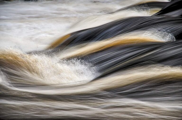
Photo: Jack Flanagan, CC BY 2.0
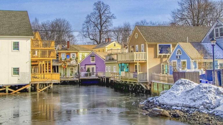
Photo: Dennis Weeks, CC BY 4.0

Photo: Paul VanDerWerf, CC BY 2.0

Photo: Paul VanDerWerf, CC BY 2.0
Frequent asks about Piscataqua River from Maine anglers
Where do I find the Piscataqua River?
Worth knowing: Piscataqua River is in York County, nearest town South Eliot.
Is a trailer or cartop launch mapped for the Piscataqua River?
From the pages: The state list shows 3 launches, Piscataqua River (Eliot) Fishing Area included. It prints no lanes, hours or fees.
What is the rule for fishing salt water at the Piscataqua River?
Short answer: The DMR saltwater registry applies to recreational fishing in coastal waters unless an exemption holds; the registry rule is quoted on the page with its source.
How many striped bass may I keep near the Piscataqua River?
Worth knowing: The DMR sheet current as of 25 March 2026 lists a daily bag and a slot for striped bass; the page reproduces them with the area exceptions.
Where do I find tide times for the Piscataqua River?
From the pages: The nearest NOAA water-level station is Seavey Island, about 4 miles away; each reading carries its GMT time.
Where is the closest bait and tackle shop to the Piscataqua River?
Short answer: Kittery Landing Marina, about 4 miles away, is first on the list.
Which Census town lies closest to the Piscataqua River?
Worth knowing: South Eliot is the closest town on the Census list, under a mile away by straight line.
Are there more waters near the Piscataqua River?
From the pages: Closest with their own page: York Harbor, Webhannet River and Saco River.
Which route do I follow to reach the Piscataqua River?
Short answer: Use the Directions button on the page: it opens a map at the point the state data places the Piscataqua River. Gates, roads and landowners change, so verify before heading out.
Check the tide for Piscataqua River
One page holds the fee table and the rules.