Fishing the Louisiana Coast
Bays, sounds, passes, coastal lakes and the Mississippi River Delta, with piers, launches, reefs and LDWF saltwater limits.
- 32coast pages
- 147reefs
 Pick for redfishPiscifun Alloy S inshore spinning reelCheck price at Piscifun
Photo of Sabine Lake: Quintin Soloviev, CC0 1.0

Louisiana's coast from Sabine Pass to the Chandeleurs
Louisiana’s coast is marsh, bay and barrier island, cut by passes and fed by the Mississippi and Atchafalaya. This guide has 32 coastal water pages: 12 bays, 11 coastal lakes and estuaries, 6 passes, 2 sounds and 1 the delta. LDWF maps 36 saltwater piers and bank sites and 154 launches on salt or brackish water, and its Artificial Reef Program lists 147 inshore, nearshore and offshore reef sites.
South of the LDWF saltwater line an angler 18 or older carries a Basic Fishing License plus a Saltwater License: $17 and $15 for residents, $68 and $60 for nonresidents.
Louisiana bays, west to east
- Vermilion BayVermilion Parish
- West Cote Blanche BaySt. Mary Parish
- East Cote Blanche BayIberia Parish
- Atchafalaya BaySt. Mary Parish
- Fourleague BayTerrebonne Parish
- Caillou BayTerrebonne Parish
- Terrebonne BayTerrebonne Parish
- Lake FelicityTerrebonne Parish
- Lake RaccourciLafourche Parish
- Timbalier BayLafourche Parish
- Barataria BayPlaquemines Parish
- Bastian BayPlaquemines Parish
USGS GNIS named features; parish from GNIS.
Louisiana coastal lakes and estuaries, west to east
- Sabine Lake
- Calcasieu LakeCameron Parish
- White LakeVermilion Parish
- Lake MechantTerrebonne Parish
- Lake PeltoTerrebonne Parish
- Lake BarreTerrebonne Parish
- Lake MaurepasLivingston Parish
- Lake TambourTerrebonne Parish
- Lake PontchartrainSt. Tammany Parish
- Lake Saint CatherineOrleans Parish
- Lake BorgneSt. Bernard Parish
USGS GNIS named features; parish from GNIS.
Louisiana passes, west to east
- Sabine PassCameron Parish
- Calcasieu PassCameron Parish
- Pass ManchacSt. John the Baptist Parish
- Barataria PassJefferson Parish
- Chef Menteur PassOrleans Parish
- The RigoletsOrleans Parish
USGS GNIS named features; parish from GNIS.
Louisiana sounds, west to east
- Breton SoundPlaquemines Parish
- Chandeleur SoundSt. Bernard Parish
USGS GNIS named features; parish from GNIS.
Louisiana the delta, west to east
- Mississippi River DeltaPlaquemines Parish
USGS GNIS named features; parish from GNIS.
Louisiana inshore saltwater limits
| Species | Daily limit and size | Season |
|---|---|---|
| Cobia (ling or lemonfish) | 1 daily per person; no more than 2 per vessel; 36" min fork length | Open year-round in state waters |
| Black drum | 5 daily per person – bag and possession; no more than one over 27" max total length; 16" min total length; 27" max total length | Open year-round in state waters |
| Red drum (redfish) | 4 daily per person – bag; none over 27" max total length; 18" min total length; 27" max total length | Open year-round in state waters |
| Southern flounder | 10 daily per person | Open year-round except no possession allowed from Oct. 15 – Nov. 30 |
| Spanish mackerel | 15 daily per person; 12" min fork length | Open year-round in state waters |
| Striped mullet | 100 lbs. daily | Open year-round in state waters |
| Spotted seatrout (speckled trout) | 15 daily per person with no more than 2 over 20" max total length; 13" min total length; 20" max total length | Open year-round in state waters |
| Sheepshead | No daily limit | Open year-round in state waters |
| Tripletail | 5 daily per person; 18" min total length | Open year-round in state waters |
Limits and seasons as printed in the 2026 Louisiana Recreational Fishing Regulations (LDWF pamphlet, updated September 21, 2026), page 28 (pamphlet PDF); confirmed on the LDWF saltwater finfish page October 28, 2026.
Every Louisiana saltwater rule
 For the redfish herePiscifun NautiX saltwater spinning reel14% OFFSale $94.99
NOAA water level stations along the Louisiana coast
NOAA CO-OPS water level, preliminary reading at retrieval (October 28, 2026); station page for live data.
Louisiana coastal directories
- Artificial reefs147 LDWF reef sites
- Piers and bank fishing36 salt or brackish sites
- Boat launches154 salt or brackish launches
- Guides and charters77 in coastal parishes
- Fishing ports: Venice, Port Fourchon, Cocodrie, Hopedale, Delacroix, Empire, Port Sulphur, Intracoastal CityUSGS GNIS
Lakes and marsh pictured for Fishing the Louisiana Coast
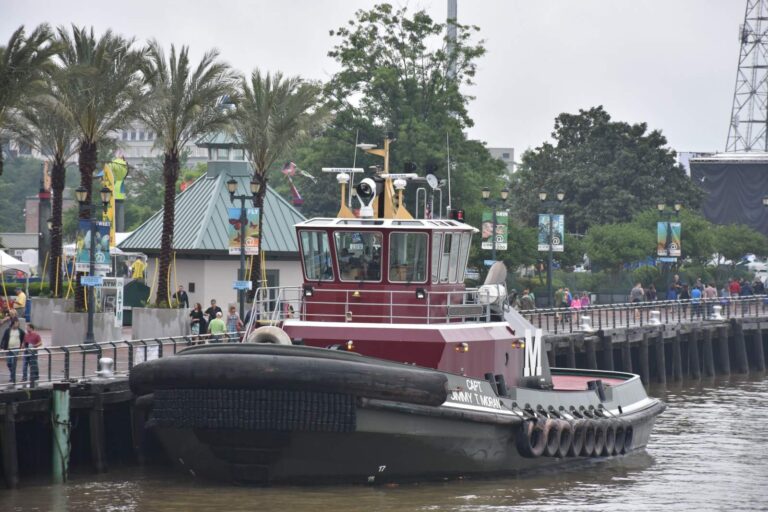
Photo: MusikAnimal, CC BY-SA 4.0


Photo: Shreveport-Bossier Convention and Tourist Bureau, CC BY 2.0
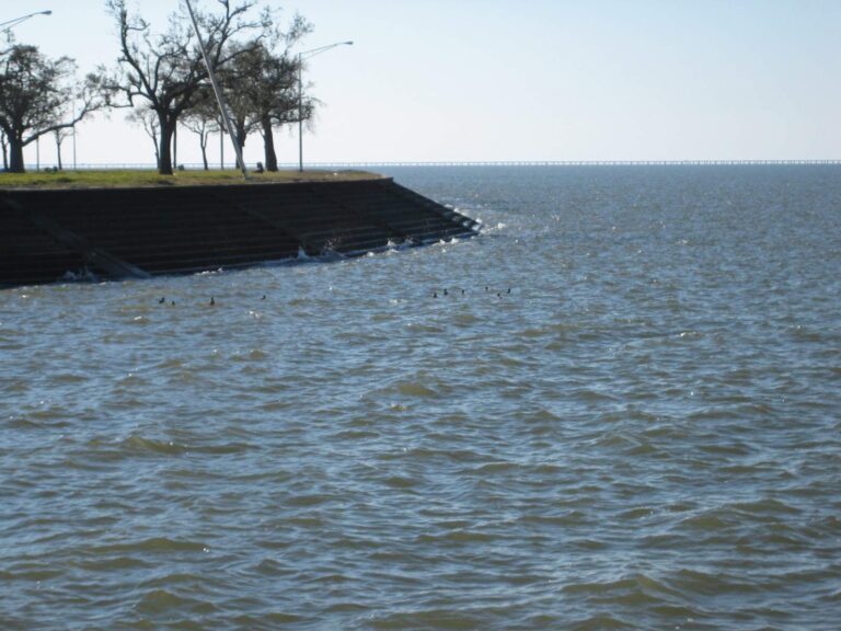
Photo: Infrogmation, CC BY 2.5

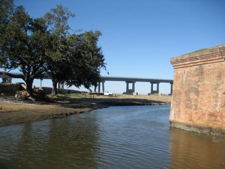
Photo: Infrogmation of New Orleans, CC BY 3.0

Louisiana coast fishing, asked and answered
How many coastal waters have pages?
32 Louisiana bays, sounds, coastal lakes, passes and the Mississippi River Delta.
Do I need a saltwater license on the Louisiana coast?
South of the LDWF saltwater line an angler 18 or older carries a Basic Fishing License plus a Saltwater License: $17 and $15 for residents, $68 and $60 for nonresidents.
What is the redfish limit on the coast?
4 daily per person – bag; none over 27" max total length; 18" min total length; 27" max total length.
How many speckled trout may a Louisiana coast angler keep?
15 daily per person with no more than 2 over 20" max total length; 13" min total length; 20" max total length.
Where does the saltwater line run?
LDWF draws it along named highways and waterways across south Louisiana; the saltwater rules page quotes it.
How many artificial reefs does LDWF list?
147 reef sites: 37 inshore, 24 nearshore and 83 offshore.
Is Lake Pontchartrain a coastal water?
Yes; it lies inside the LDWF saltwater zone and has its own coast page.
Who runs charters on the Louisiana coast?
The guides page lists 77 captains and guides in coastal parishes.