Calcasieu Pass Fishing
A tidal pass of the Louisiana coast in Cameron Parish, inside the LDWF saltwater line.
 Pick for redfishPiscifun Alloy S inshore spinning reelCheck price at Piscifun
Photo: Commander Grady Tuell, NOAA Corps, Public domain
First facts on Calcasieu Pass for a saltwater trip
Calcasieu Pass is a tidal pass on the Louisiana coast, mapped by USGS in Cameron Parish. Saltwater limits hold here, since it sits inside the LDWF line. Roughly 26 miles separates it from Prien.
Trailers go in at 4 launches near it. Shore anglers have 4 pier and bank sites. 5 reef sites from the LDWF reef program sit within 25 miles. 1 water-level station from NOAA sit within 25 miles. 3 named passes lie within 12 miles.
USGS Geographic Names Information System (feature class and point), LDWF saltwater line, LDWF launch and Banks and Piers layers; retrieved October 28, 2026.
Launches that run out to Calcasieu Pass
- Cameron Jetties and Ramp on Calcasieu Ship Channel1-lane concrete ramp, public
- Cameron Ship Channel launch on Calcasieu Ship Channel1-lane concrete ramp, public
- Hog Island Gully launch on Calcasieu Pass2-lane concrete ramp, public
- West Cove Canal launch on Calcasieu Pass2-lane concrete ramp, public
Launches within a short drive of Calcasieu Pass
- Dugas Landing on Calcasieu Ship ChannelCalcasieu Ship Channel, 13 miles north
- Hackberry Shell Pile Area and Boat Ramp on Calcasieu LakeCalcasieu Lake, 14 miles north
- Spicer's Bait And Tackle on Calcasieu LakeCalcasieu Lake, 15 miles north
- Intracoastal Park on Calcasieu LakeCalcasieu Lake, 19 miles north
- Intracoastal Park (East Ramp) on Calcasieu LakeCalcasieu Lake, 20 miles north
LDWF boat launch inventory (saltwater, brackish and freshwater launches), retrieved October 28, 2026.
Pier fishing on Calcasieu Pass
- Blue Crab Recreation Area on Calcasieu Passbank fishing, salt or brackish, Bank access, parking, Sunrise-sunset
- West Cove Recreation Area on Calcasieu Passbank fishing, salt or brackish, Bank access, parking, restrooms, Sunrise-sunset
- Cameron Jetties Fishing Pier on Calcasieu Passfishing pier, salt or brackish, Pier, bank access, restrooms, Mon-Thurs, 7am-9pm …
- Holly Beach/Hwy 82 on Calcasieu Passbank fishing, salt or brackish, Beach access, restrooms, Year-round
Other piers and banks a drive from Calcasieu Pass
- Hog Island Gulley Recreation Area on Calcasieu Lakebank fishing, salt or brackish, 9 miles
- Northline Recreation Area on Calcasieu Lakebank fishing, salt or brackish, 10 miles
- Rutherford Beachbank fishing, salt or brackish, 13 miles
- Calcasieu Point Landingbank fishing, salt or brackish, 22 miles
LDWF Banks and Piers layer, retrieved October 28, 2026.
Sunken structure around Calcasieu Pass
5 reef sites lie within 25 miles of Calcasieu Pass; 4 are inshore reefs.
| Reef | Program | Depth | Size | Distance |
|---|---|---|---|---|
| East Calcasieu Reef | inshore | 8-ft | 87 acres | 8 miles northeast |
| Sweet Lake Reef | inshore | 7-ft | 50 acres | 11 miles north |
| Finfish Reef 1 | inshore | 7-ft | 50 acres | 13 miles north |
| West Cameron 45 Reef | nearshore | 18 miles southwest | ||
| Turner's Bay Island Reef | inshore | 2-ft | 1 acres | 19 miles north |
LDWF Artificial Reef Program saltwater reef layer and site PDFs (depth and acres as printed), retrieved October 28, 2026.
Tide predictions for Calcasieu Pass
NOAA CO-OPS water level, preliminary reading at retrieval (October 28, 2026); station page for live data.
- Calcasieu Passtide predictions, 1 mile
- East Calcasieu Laketide predictions, 15 miles
Water on Calcasieu Pass answers to wind and river as much as tide; the stations above show what is happening now.
NOAA CO-OPS water level and tide prediction stations within 25 and 15 miles, retrieved October 28, 2026.
Passes a short run from Calcasieu Pass
- East Fork Calcasieu Pass3 miles north
- Mud Pass6 miles west
- West Fork Calcasieu Pass3 miles northwest
USGS GNIS passes and guts within 12 miles; retrieved October 28, 2026.
Fishing towns that serve Calcasieu Pass
- CameronCameron Parish, 1 mile
USGS GNIS coastal towns and fishing ports within 20 miles; retrieved October 28, 2026.
The saltwater pamphlet rules for Calcasieu Pass
| Species | Daily limit and size | Season |
|---|---|---|
| Cobia (ling or lemonfish) | 1 daily per person; no more than 2 per vessel; 36" min fork length | Open year-round in state waters |
| Black drum | 5 daily per person – bag and possession; no more than one over 27" max total length; 16" min total length; 27" max total length | Open year-round in state waters |
| Red drum (redfish) | 4 daily per person – bag; none over 27" max total length; 18" min total length; 27" max total length | Open year-round in state waters |
| Southern flounder | 10 daily per person | Open year-round except no possession allowed from Oct. 15 – Nov. 30 |
| Spanish mackerel | 15 daily per person; 12" min fork length | Open year-round in state waters |
| Striped mullet | 100 lbs. daily | Open year-round in state waters |
| Spotted seatrout (speckled trout) | 15 daily per person with no more than 2 over 20" max total length; 13" min total length; 20" max total length | Open year-round in state waters |
| Sheepshead | No daily limit | Open year-round in state waters |
| Tripletail | 5 daily per person; 18" min total length | Open year-round in state waters |
| Black bass (largemouth and spotted) | 10 daily | Open year-round |
| Striped or hybrid striped bass (or any combination thereof) | 5 daily; no more than two over 30" total length | Open year-round |
| White bass | 50 daily | Open year-round |
| Yellow bass | 50 daily | Open year-round |
| Sunfish (bream) | No daily limit | Open year-round |
| Crappie (black and white) | 50 daily; 100 fish possession limit | Open year-round |
| Bowfin (choupique) | No daily limit; 16" MLL | Open year-round |
For Calcasieu Pass, the saltwater statewide rows lead; freshwater rows follow for fish caught in the brackish marsh.
South of the LDWF saltwater line an angler 18 or older carries a Basic Fishing License plus a Saltwater License: $17 and $15 for residents, $68 and $60 for nonresidents.
Limits and seasons as printed in the 2026 Louisiana Recreational Fishing Regulations (LDWF pamphlet, updated September 21, 2026), page 19 (pamphlet PDF); confirmed on the LDWF saltwater finfish page October 28, 2026.
 For the redfish herePiscifun NautiX saltwater spinning reel14% OFFSale $94.99
Calcasieu Pass next to the closest bays and passes
By launch count, Calcasieu Lake tops the table at 8.
| Water | Distance | Type | Launches | Piers and banks | Reefs within 25 mi | NOAA stations |
|---|---|---|---|---|---|---|
| Calcasieu Pass | tidal pass | 4 | 4 | 5 | 1 | |
| Calcasieu Lake | 10 miles north | coastal lake | 8 | 3 | 4 | 3 |
| Sabine Lake | 31 miles west | coastal lake | 1 | 0 | 1 | 0 |
| Sabine Pass | 32 miles west | tidal pass | 1 | 0 | 1 | 0 |
| White Lake | 50 miles east | coastal lake | 1 | 0 | 2 | 1 |
| Vermilion Bay | 82 miles east | bay | 3 | 1 | 4 | 1 |
LDWF launch, Banks and Piers and reef layers, NOAA CO-OPS stations, USGS GNIS; retrieved October 28, 2026.
Where else to fish near Calcasieu Pass
Other LDWF lakes near Calcasieu Pass
- Grand Lake35 miles
- Lake Arthur41 miles
Bayous a short run from Calcasieu Pass
- Calcasieu Ship Channel13 miles
- Black Lake Bayou (Cameron Parish)15 miles
- Coulee Hippolyte22 miles
- Bayou Choupique25 miles
Bait shops along the drive to Calcasieu Pass
- Spicer Bait Cobait and tackle shop, Hackberry, 15 miles
- Blue Horizon Seafood-Live Baitbait and tackle shop, Hackberry, 15 miles
- Spicer Bait & Tacklebait and tackle shop, Hackberry, 15 miles
- Lake Charles Tacklebait and tackle shop, Lake Charles, 28 miles
- Fish on Tackle & Baitbait and tackle shop, Sulphur, 28 miles
- Dick's Sporting Goods Lake Charlessporting goods store, Lake Charles, 29 miles
Who guides on Calcasieu Pass
- Capt'N Sammie Faulkcharter, Lake Charles, (337) 598-2001
- Hackberry Charterscharter, Hackberry, (337) 762-3713
- Hackberry Fishing Camp & Marinacharter, Hackberry, (832) 444-4892
- Rue, Erik Captcharter, Lake Charles, (337) 598-4700
Louisiana towns with a room near Calcasieu Pass
- Prien26 miles
- Carlyss27 miles
- Lake Charles30 miles
- Sulphur31 miles
Which parishes take in Calcasieu Pass
- Cameron Parishseat: Cameron
Piscifun gear lined up for the bayou run to Calcasieu Pass


Piscifun and Amazon links are affiliate links; the site earns a commission on qualifying purchases.
Cypress, marsh and open water by Calcasieu Pass, in photos
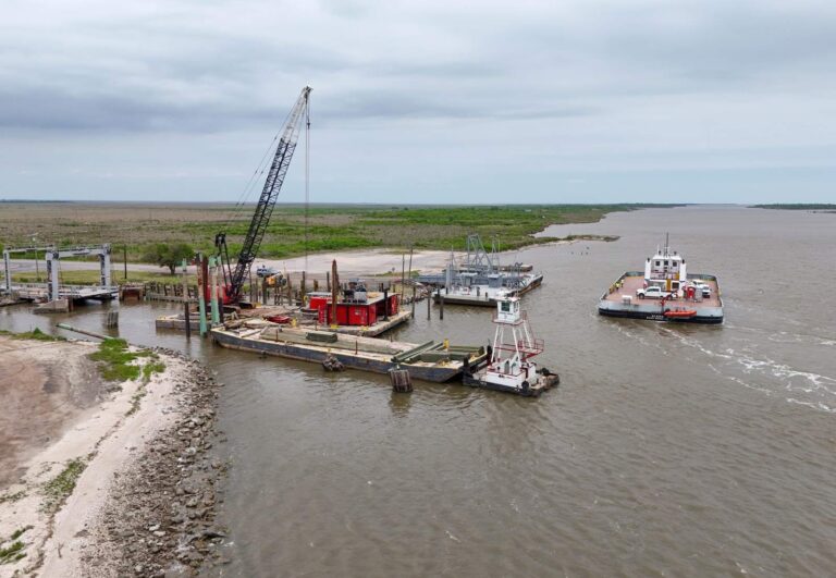
Photo: Quintin Soloviev, CC0 1.0

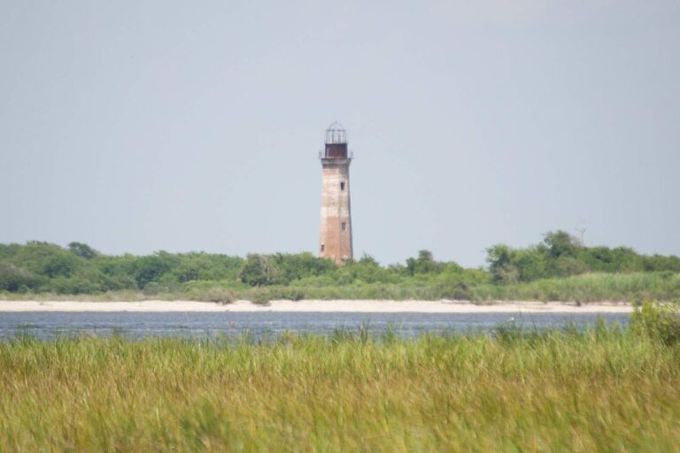
Photo: Patrick Feller, CC BY 2.0
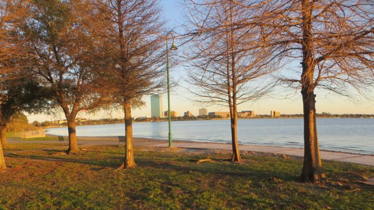
Photo: David Wilson, CC BY 2.0
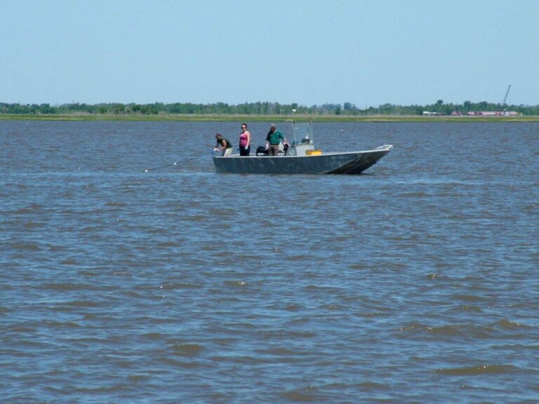
Photo: Louisiana Sea Grant College Program, CC BY 2.0

Calcasieu Pass: questions a Louisiana angler asks before launching
Which Louisiana town sits nearest Calcasieu Pass?
USGS places it in Cameron Parish, about 26 miles from Prien.
Is Calcasieu Pass salt or fresh water for licensing?
South of the LDWF saltwater line an angler 18 or older carries a Basic Fishing License plus a Saltwater License: $17 and $15 for residents, $68 and $60 for nonresidents.
How many LDWF-listed launches reach Calcasieu Pass?
Use Cameron Jetties and Ramp on Calcasieu Ship Channel; LDWF lists 4 launches.
What are the redfish limits on Calcasieu Pass?
Cobia (ling or lemonfish): 1 daily per person; no more than 2 per vessel; 36" min fork length; Open year-round in state waters.
Has LDWF built artificial reefs near Calcasieu Pass?
LDWF lists 5 sites nearby, East Calcasieu Reef first.
What did the latest water level near Calcasieu Pass show?
Check Calcasieu Pass; its dated reading is above.
Which LDWF pier sits nearest Calcasieu Pass?
LDWF maps 4 pier and bank sites, such as Blue Crab Recreation Area on Calcasieu Pass.
Where do Calcasieu Pass regulars fill the bait bucket?
Spicer Bait Co, about 15 miles away, tops our Louisiana shop list.
Where does tide move near Calcasieu Pass?
Look to East Fork Calcasieu Pass, Mud Pass and West Fork Calcasieu Pass.
Head down the bayou road to Calcasieu Pass
Read the redfish and trout limits before filling the ice chest.