Vermilion Bay Fishing
A bay of the Louisiana coast in Vermilion Parish, inside the LDWF saltwater line.
 Pick for redfishPiscifun Alloy S inshore spinning reelCheck price at Piscifun
Photo of Catahoula Lake: Ken Lund, CC BY-SA 2.0
The coastal picture of Vermilion Bay
The national gazetteer lists Vermilion Bay as a bay in Vermilion Parish. Being within the LDWF saltwater zone, it follows the saltwater creel limits. Delcambre, some 16 miles away, is the nearest town.
LDWF records 3 launches that open onto it. Bank anglers get 1 pier or bank site. Within 25 miles lie 4 reef sites from the LDWF Artificial Reef Program. It is covered by 1 water-level station.
USGS Geographic Names Information System (feature class and point), LDWF saltwater line, LDWF launch and Banks and Piers layers; retrieved October 28, 2026.
Launch choices for Vermilion Bay
- Cypremort Point State Park on Vermilion Bayboat launch public, fee, $2; no fee for children under 3, seniors 62+ …
- Intracoastal City Public Launch on Vermilion Bay4-lane concrete ramp, public, fee, Public; $2 to launch
- Dan's Boat Launch on Vermilion Bayboat launch private, fee, Private; launch fee
More LDWF launches a short tow from Vermilion Bay
- Quintana Public Launch on West Cote Blanche BayWest Cote Blanche Bay, 8 miles east
- Don's Launch on Boston CanalBoston Canal, 12 miles northwest
- St. Mary Seafood and Marina on West Cote Blanche BayWest Cote Blanche Bay, 13 miles east
- Big D's Boat Launch on West Cote Blanche BayWest Cote Blanche Bay, 14 miles east
- Bayou Patout on West Cote Blanche BayWest Cote Blanche Bay, 14 miles northeast
- Avery Island Public Launch on Hayes CouleeHayes Coulee, 14 miles north
LDWF boat launch inventory (saltwater, brackish and freshwater launches), retrieved October 28, 2026.
Walk-up spots LDWF lists on Vermilion Bay
- Cypremort Point State Park on Vermilion Bayfishing pier, salt or brackish, Pier, beach access to Vermilion Bay, restrooms, Apr-Sept, 6am-7pm …
Piers LDWF maps near Vermilion Bay
- Palmetto Island State Parkbank fishing, 15 miles
- Bayou Carlin Covefishing pier, salt or brackish, 19 miles
- Hwy 82 Fishing Pier #4fishing pier, 21 miles
- Hwy 82 Fishing Pier #3fishing pier, 22 miles
- Hwy 82 Fishing Pier #2fishing pier, 23 miles
LDWF Banks and Piers layer, retrieved October 28, 2026.
LDWF reefs within a run of Vermilion Bay
Reef program crews built 4 sites within 25 miles of Vermilion Bay, 4 of them inshore.
| Reef | Program | Depth | Size | Distance |
|---|---|---|---|---|
| Cypremort Point II Reef | inshore | 7-ft | 40 acres | 6 miles east |
| Cypremort Point Reef | inshore | 6-ft | 1 acres | 6 miles east |
| Redfish Pointe Reef | inshore | 6-ft | 50 acres | 9 miles west |
| Prien Point Reef | inshore | 2-ft | 10 acres | 10 miles southwest |
LDWF Artificial Reef Program saltwater reef layer and site PDFs (depth and acres as printed), retrieved October 28, 2026.
 For the redfish herePiscifun NautiX saltwater spinning reel14% OFFSale $94.99
NOAA stations around Vermilion Bay
NOAA CO-OPS water level, preliminary reading at retrieval (October 28, 2026); station page for live data.
- Cypremort Pointtide predictions, 6 miles
- Bayou Fearman, Vermillion Baytide predictions, 10 miles
- Southwest Pass, Vermilion Baytide predictions, 10 miles
- Intracoastal Citytide predictions, 12 miles
Tide ranges here are modest; wind and river stage decide how much water covers Vermilion Bay.
NOAA CO-OPS water level and tide prediction stations within 25 and 15 miles, retrieved October 28, 2026.
Where boats tie up near Vermilion Bay
- Intracoastal CityVermilion Parish, 12 miles
- Cypremort PointSt. Mary Parish, 6 miles
USGS GNIS coastal towns and fishing ports within 20 miles; retrieved October 28, 2026.
Daily creel on Vermilion Bay
| Species | Daily limit and size | Season |
|---|---|---|
| Cobia (ling or lemonfish) | 1 daily per person; no more than 2 per vessel; 36" min fork length | Open year-round in state waters |
| Black drum | 5 daily per person – bag and possession; no more than one over 27" max total length; 16" min total length; 27" max total length | Open year-round in state waters |
| Red drum (redfish) | 4 daily per person – bag; none over 27" max total length; 18" min total length; 27" max total length | Open year-round in state waters |
| Southern flounder | 10 daily per person | Open year-round except no possession allowed from Oct. 15 – Nov. 30 |
| Spanish mackerel | 15 daily per person; 12" min fork length | Open year-round in state waters |
| Striped mullet | 100 lbs. daily | Open year-round in state waters |
| Spotted seatrout (speckled trout) | 15 daily per person with no more than 2 over 20" max total length; 13" min total length; 20" max total length | Open year-round in state waters |
| Sheepshead | No daily limit | Open year-round in state waters |
| Tripletail | 5 daily per person; 18" min total length | Open year-round in state waters |
| Black bass (largemouth and spotted) | 10 daily | Open year-round |
| Striped or hybrid striped bass (or any combination thereof) | 5 daily; no more than two over 30" total length | Open year-round |
| White bass | 50 daily | Open year-round |
| Yellow bass | 50 daily | Open year-round |
| Sunfish (bream) | No daily limit | Open year-round |
| Crappie (black and white) | 50 daily; 100 fish possession limit | Open year-round |
| Bowfin (choupique) | No daily limit; 16" MLL | Open year-round |
Redfish, trout and flounder rules for Vermilion Bay lead the table; freshwater species follow.
South of the LDWF saltwater line an angler 18 or older carries a Basic Fishing License plus a Saltwater License: $17 and $15 for residents, $68 and $60 for nonresidents.
Limits and seasons as printed in the 2026 Louisiana Recreational Fishing Regulations (LDWF pamphlet, updated September 21, 2026), page 19 (pamphlet PDF); confirmed on the LDWF saltwater finfish page October 28, 2026.
How Vermilion Bay stacks up along the coast
West Cote Blanche Bay leads these neighbours with 4 launches.
| Water | Distance | Type | Launches | Piers and banks | Reefs within 25 mi | NOAA stations |
|---|---|---|---|---|---|---|
| Vermilion Bay | bay | 3 | 1 | 4 | 1 | |
| West Cote Blanche Bay | 15 miles east | bay | 4 | 0 | 7 | 0 |
| East Cote Blanche Bay | 23 miles southeast | bay | 1 | 1 | 6 | 2 |
| White Lake | 31 miles west | coastal lake | 1 | 0 | 2 | 1 |
| Atchafalaya Bay | 48 miles southeast | bay | 0 | 0 | 3 | 3 |
| Fourleague Bay | 55 miles southeast | bay | 0 | 0 | 1 | 3 |
LDWF launch, Banks and Piers and reef layers, NOAA CO-OPS stations, USGS GNIS; retrieved October 28, 2026.
Lakes, bayous and towns around Vermilion Bay
Louisiana lakes a short drive from Vermilion Bay
- Spanish Lake24 miles
- Fausse Point, Dauterive and Catahoula Complex32 miles
- Lake Martin35 miles
- Atchafalaya Basin43 miles
Current-carrying bayous near Vermilion Bay
- Hayes Coulee14 miles
- Delcambre Canal15 miles
- Vermilion River21 miles
- Schooner Bayou Canal21 miles
Louisiana tackle counters close to Vermilion Bay
- Louisiana Bait Productsbait and tackle shop, Abbeville, 14 miles
- Uncle Danny's Huntin 'n' Fishinbait and tackle shop, New Iberia, 18 miles
- Suzie's Bait and Tacklebait and tackle shop, New Iberia, 20 miles
- J B Baitbait and tackle shop, Abbeville, 23 miles
- Gulfway Sporting Goods Incbait and tackle shop, Kaplan, 26 miles
- Icy Boat Launchmarina, Abbeville
Places to sleep near Vermilion Bay
- Delcambre16 miles
- Erath17 miles
- Abbeville20 miles
- New Iberia22 miles
Parish guides covering Vermilion Bay
- Vermilion Parishseat: Abbeville
A Piscifun outfit to take down to Vermilion Bay


Piscifun and Amazon links are affiliate links; the site earns a commission on qualifying purchases.
Pictures of fishing water by Vermilion Bay
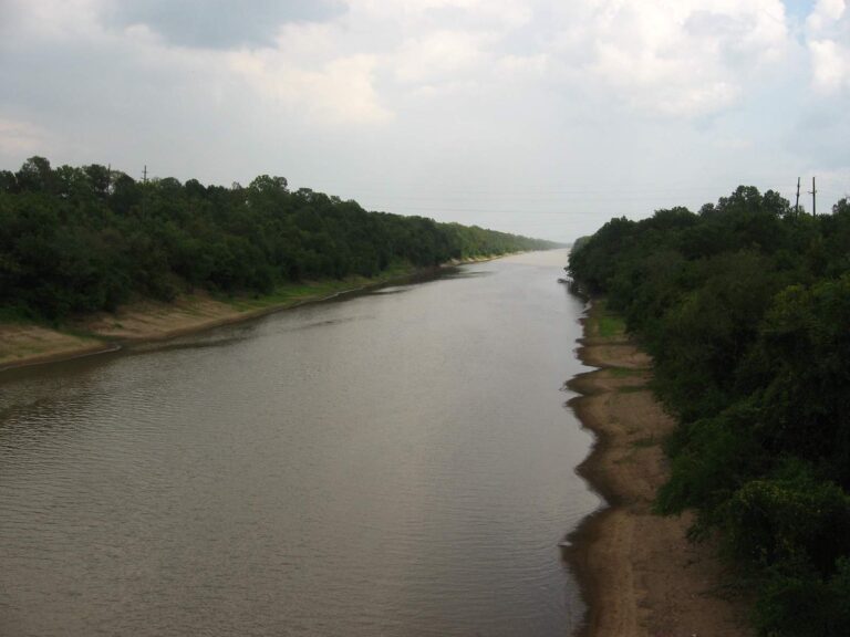
Photo: Ken Lund, CC BY-SA 2.0
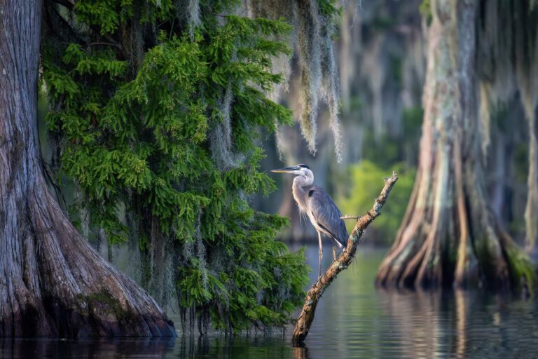
Photo: Kevin Crosby, CC BY-SA 4.0
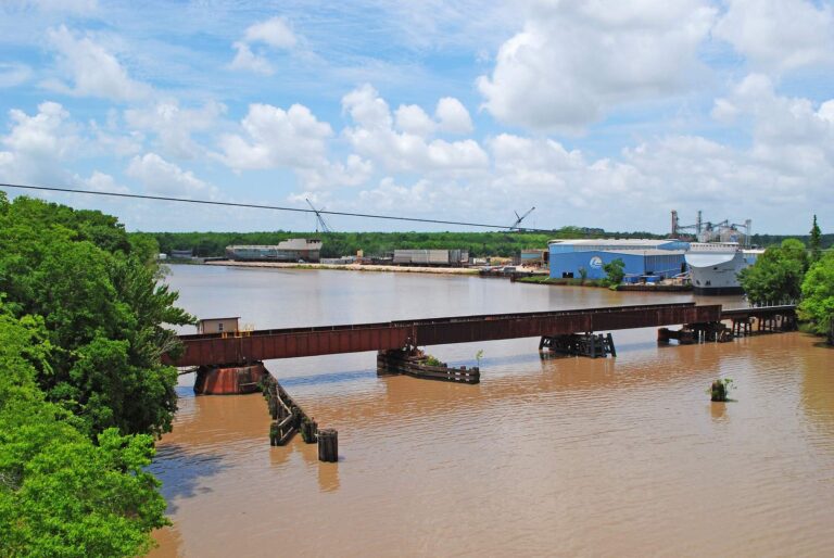
Photo: Patrick Feller, CC BY 2.0

Photo: Tobin, CC BY-SA 2.0
Questions people ask LDWF about Vermilion Bay, answered here
How do I spot Vermilion Bay on a coastal parish map?
Head for Vermilion Parish, about 16 miles from Delcambre.
Which LDWF license do I carry on Vermilion Bay?
South of the LDWF saltwater line an angler 18 or older carries a Basic Fishing License plus a Saltwater License: $17 and $15 for residents, $68 and $60 for nonresidents.
Which LDWF launch puts me closest to Vermilion Bay?
Back down at Cypremort Point State Park on Vermilion Bay, one of 3 launches.
Does Vermilion Bay have special rules?
Cobia (ling or lemonfish): 1 daily per person; no more than 2 per vessel; 36" min fork length; Open year-round in state waters.
Which LDWF reef lies nearest Vermilion Bay?
Yes; 4 sites reef sites lie within 25 miles, the closest Cypremort Point II Reef.
Which station covers Vermilion Bay?
Freshwater Canal Locks reports nearby.
Where can I fish Vermilion Bay without a bay boat?
Use Cypremort Point State Park on Vermilion Bay; LDWF lists 1 pier or bank site.
Which tackle counter on our Louisiana list sits nearest Vermilion Bay?
Louisiana Bait Products is the nearest tackle stop we list, about 14 miles away.
Hook up the bay boat for Vermilion Bay
Buy the saltwater license online before the trip.