Louisiana Water Levels
Live USGS lake gauges, dated Corps pool readings and NOAA coastal water levels for Louisiana.
 Angler pickPiscifun Viper X spinning reel50% OFFSale $39.99
Photo of Caddo Lake: rgriff3471, CC BY 3.0

USGS elevations on Louisiana lakes, refreshed through the day
| Lake | Level | Reading | Source |
|---|---|---|---|
| Cross Lake | 169.93 ft | Oct 31, 2026 | USGS 07344480 |
| Lake Bistineau | 133.34 ft | Oct 31, 2026 | USGS 07349250 |
| Cypress Bayou Reservoir | 177.69 ft | Oct 31, 2026 | USGS 07349815 |
| Saline Lake | 95.27 ft | Oct 31, 2026 | USGS 07352150 (gage height) |
| Grand Bayou Reservoir | 133.53 ft | Oct 31, 2026 | USGS 07352820 |
| Black Lake Bayou | 8.29 ft | Oct 31, 2026 | USGS 07352895 (gage height) |
| Nantachie Lake | 93.57 ft | Oct 31, 2026 | USGS 07353520 |
| Lake Claiborne | 183.77 ft | Oct 31, 2026 | USGS 07364840 |
| D'Arbonne Lake | 78.72 ft | Oct 31, 2026 | USGS 07366364 |
| Murphy Lake | 9.35 ft | Oct 31, 2026 | USGS 073815963 (gage height) |
| Bundick Lake | 95.09 ft | Oct 31, 2026 | USGS 08014881 |
| Toledo Bend Reservoir | 167.74 ft | Oct 31, 2026 | USGS 08025350 |
| L. Cataouatche | 7.58 ft | Oct 31, 2026 | USGS 2951190901217 (gage height) |
| Arm of Grand Lake | 2.74 ft | Oct 31, 2026 | USGS 300312091320000 (gage height) |
| Lake Pelba | 6.50 ft | Oct 31, 2026 | USGS 302020091435700 (gage height) |
USGS provisional lake and reservoir data, refreshed hourly by the site.
Vicksburg District pool readings for Louisiana lakes and the Red River locks, dated
| Lake or pool | Reading | Normal pool | Reading for |
|---|---|---|---|
| Caddo Lake | 167.23 ft | October 28, 2026 | |
| Wallace Lake | 139.97 ft | October 28, 2026 | |
| Bayou Bodcau Reservoir | 159.57 ft | October 28, 2026 | |
| Cypress Bayou Reservoir | 177.77 ft | October 28, 2026 | |
| Red River Pool 5 (Lock & Dam 5 upper) | 145.62 ft | October 28, 2026 | |
| Red River Pool 4 (Lock & Dam 4 upper) | 120.43 ft | October 28, 2026 | |
| Red River Pool 3 (Lock & Dam 3 upper) | 95.37 ft | October 28, 2026 | |
| Red River Pool 2 (Lock & Dam 2 upper) | 64.33 ft | October 28, 2026 | |
| Red River Pool 1 (Lock & Dam 1 upper) | 40.28 ft | October 28, 2026 | |
| Ouachita River, Columbia Lock & Dam pool | 49.31 ft | October 28, 2026 | |
| Black River, Jonesville Lock & Dam pool | 34.1 ft | October 28, 2026 | |
| Larto Lake | 35.91 ft | October 28, 2026 | |
| Catahoula Lake | 27.1 ft | October 28, 2026 |
USACE Vicksburg District water control pages, provisional readings retrieved October 28, 2026; shown as dated readings, not live, datum as printed.
NOAA water level stations on the Louisiana coast, dated
| Station | Parish | Water level | Datum | Reading for |
|---|---|---|---|---|
| Pilottown | Plaquemines Parish | 0.51 ft | MLLW | October 28, 2026 |
| Pilots Station East, S.W. Pass | Plaquemines Parish | 2.5 ft | MLLW | October 28, 2026 |
| Shell Beach | St. Bernard Parish | 0.95 ft | MLLW | October 28, 2026 |
| Grand Isle | Jefferson Parish | 1.27 ft | MLLW | October 28, 2026 |
| New Canal Station | Orleans Parish | 1.25 ft | MLLW | October 28, 2026 |
| Carrollton | Orleans Parish | no reading | ||
| Port Fourchon, Belle Pass | Lafourche Parish | 1.37 ft | MLLW | October 28, 2026 |
| West Bank 1, Bayou Gauche | St. Charles Parish | no reading | ||
| Berwick, Atchafalaya River | St. Mary Parish | -0.66 ft | MLLW | October 28, 2026 |
| LAWMA, Amerada Pass | St. Mary Parish | 2.14 ft | MLLW | October 28, 2026 |
| Eugene Island, North of, Atchafalaya Bay | St. Mary Parish | no reading | ||
| Freshwater Canal Locks | Vermilion Parish | 3.05 ft | MLLW | October 28, 2026 |
| Lake Charles | Calcasieu Parish | 0.9 ft | MLLW | October 28, 2026 |
| Bulk Terminal | Calcasieu Parish | 1.05 ft | MLLW | October 28, 2026 |
| Calcasieu Pass | Cameron Parish | 2.74 ft | MLLW | October 28, 2026 |
NOAA CO-OPS preliminary water levels at retrieval; each coast page links its nearest station.
Lake pages in Louisiana showing a gauge or pool
- Bundick Lake1 gauge or pool reading
- Caddo Lake1 gauge or pool reading
- Catahoula Lake1 gauge or pool reading
- Cross Lake1 gauge or pool reading
- Cypress Bayou Reservoir2 gauges or pool readings
- D'Arbonne Lake1 gauge or pool reading
- Grand Bayou Reservoir1 gauge or pool reading
- Lake Bistineau1 gauge or pool reading
- Lake Claiborne1 gauge or pool reading
- Larto-Saline Complex1 gauge or pool reading
- Nantachie Lake1 gauge or pool reading
- Red River Pool 51 gauge or pool reading
- Saline Lake1 gauge or pool reading
- Toledo Bend Reservoir1 gauge or pool reading
- Wallace Lake (Catahoula Parish)1 gauge or pool reading
Rivers and bayous are covered too: 243 USGS stream gauges feed the flow box on the Louisiana river and bayou pages that have one.
Lakes and marsh pictured for Louisiana Water Levels

Photo: madame.furie, CC BY-SA 2.0
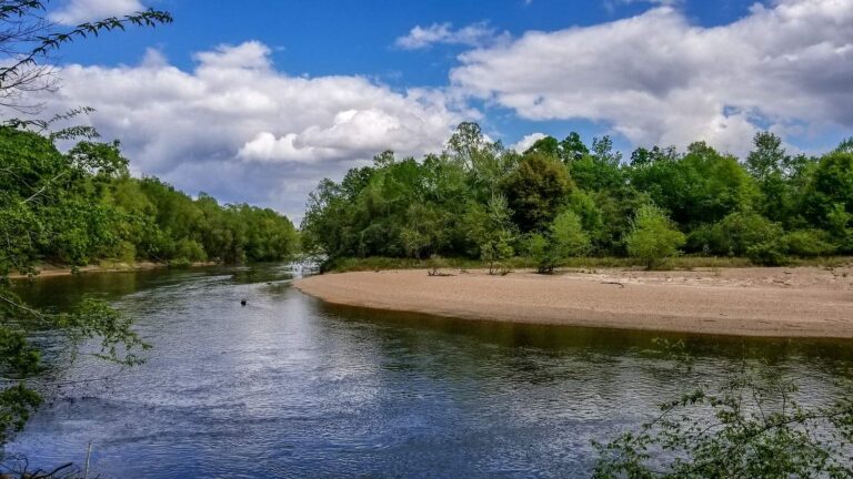
Photo: Bart Everson, CC BY 2.0
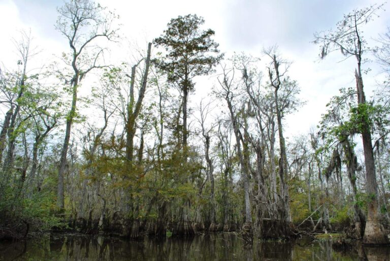
Photo: Elisa.rolle, CC BY-SA 4.0

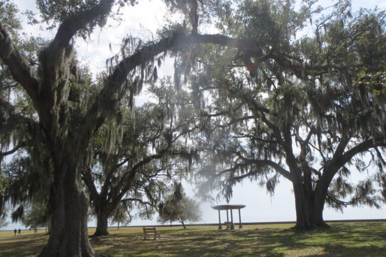
Photo: Susan Popielaski, CC BY-SA 3.0

Water level questions for Louisiana boaters
How many Louisiana lakes show a live USGS level here?
USGS sends 15 lake gauge feeds to the live table above.
Why are Corps readings dated?
They are copied from the Vicksburg District water control pages with the time of the reading, not fed live.
Which Corps pools are listed?
Caddo Lake, Wallace Lake, Bayou Bodcau Reservoir, Cypress Bayou Reservoir, Red River Pool 5 (Lock & Dam 5 upper), Red River Pool 4 (Lock & Dam 4 upper), Red River Pool 3 (Lock & Dam 3 upper), Red River Pool 2 (Lock & Dam 2 upper), Red River Pool 1 (Lock & Dam 1 upper), Ouachita River, Columbia Lock & Dam pool, Black River, Jonesville Lock & Dam pool, Larto Lake and Catahoula Lake.
Is Toledo Bend shown?
Yes, through the USGS gauge at the reservoir; the Sabine River Authority also posts the level on its own site.
What datum do the NOAA tide stations use?
The readings here are in feet above mean lower low water (MLLW), as NOAA reports them.
Where are river flows?
On each river and bayou page with a USGS gauge, as discharge and gauge height.
Why is the New Orleans District missing?
Its water control site refused automated reading, so no New Orleans District pools are shown.
How close to a trip should I look at the Louisiana gauges?
The same day: rain on the Red, Ouachita or Atchafalaya can move pools and stages several feet.