Fishing in Maury County, Tennessee
County seat: Columbia. 2020 Census: 100,974 residents.
- 2named waters
- 12ramps and marinas
- 1river pages
 Pick for troutPiscifun Carbon X ultralight spinning reel28% OFFSale $57.99
Photo of Harpeth River: dozier.donald, CC BY-SA 2.0
Maury County: the short version for anglers
Maury County (seat: Columbia) recorded 100,974 residents in the 2020 Census. Inside the county line: 613 square miles of land and 2.5 square miles of water, as the Census measures it. Measured by acres, Williamsport Lakes leads the 2 named waters recorded in Maury County. Moving water with its own page in Maury County: Duck River.
The TWRA access layer puts 12 boat ramps and marinas and 0 other fishing sites in the county. The TWRA trout schedule names 1 dated stocking for water in Maury County.
U.S. Census Bureau, 2020 Census counts (TIGERweb) and the 2023 Gazetteer, read November 18, 2026. TWRA public access record (TWRA), read November 18, 2026.
 For the trout herePiscifun Carbon XT ultralight spinning reel25% OFFSale $59.99
TWRA stocking rows tied to Maury County
- McCutcheon Creek
Tennessee trout stocking by date and the Tennessee week ahead
TWRA trout stocking information (TWRA source), as of Nov. 18, 2026, read November 18, 2026. Dates are TWRA’s; counts appear only where TWRA printed one.
Maury County from the boat seat: every pinned launch and lake
TWRA public access record (TWRA), read November 18, 2026. Water pins use the point in the TWRA or USGS record.
Tennessee lakes and reservoirs in Maury County
Paged water inside Maury County is thin, so here is the nearest outside it, measured from Columbia.
| Water | From Columbia | Size | TWRA sites | Type | Fish on the TWRA list |
|---|---|---|---|---|---|
| Harpeth River | 33 miles to the north | acreage not printed | 14 | river | no TWRA list |
| Laurel Hill Lake | 35 miles to the southwest | 325 acres | 2 | lake | no TWRA list |
| Buffalo River | 37 miles to the west | acreage not printed | 3 | river | no TWRA list |
| J. Percy Priest Lake | 42 miles to the northeast | 14,200 acres | 32 | reservoir, TVA-listed | no TWRA list |
Surface acres as published for this water (source), read November 18, 2026. Waters with no published acreage show their NHD outline instead. TWRA record for this water (TWRA), read November 18, 2026.
Streams crossing Maury County, Tennessee
- Duck Rivertailwater, 27 TWRA access sites, 4 USGS gauges
Streamflow posts in Maury County
USGS has no current reading for these gauges.
TWRA and agency records for this river (source), read November 18, 2026. USGS Water Data for the Nation, live through the site, retrieved on page view.
Ramps and marinas in Maury County
- Carpenter Bridge Access on Duck Riverboat ramp; free to launch; Maury County
- Chickasaw Trace Park on Duck Riverboat ramp; restrooms; free to launch; Maury County
- Fountain Creek Boat Ramp on Duck Riverpaddle access; free to launch; Maury County
- Howard Bridge Road Access on Duck Riverboat ramp; camping; free to launch; Maury County
- Iron Bridge Access on Duck Riverboat ramp; free to launch; Maury County
- Riverside Access Area on Duck Riverboat ramp; free to launch; Maury County
- Sowell Mill Pk Boat Ramp on Duck Riverboat ramp; free to launch; Maury County
- Williamsport Bridge Boat Ramp on Duck Riverboat ramp; bait; free to launch; Maury County
- Williamsport Lakes – Bluecat Boat Rampboat ramp; fishing pier, restrooms, bait; free to launch; Maury County
- Williamsport Lakes – Goldeneye Boat Rampboat ramp; restrooms, bait; Maury County
- Williamsport Lakes – Shellcracker Boat Rampboat ramp; fishing pier, restrooms, bait; free to launch; Maury County
- Williamsport Lakes – Whipppoorwill Boat Rampboat ramp; fishing pier, restrooms, bait; free to launch; Maury County
TWRA public access record (TWRA), read November 18, 2026.
Back-road water of Maury County, row by row
Lakes and ponds in Maury County
| Water | Type | Size | Fish on the TWRA list | TWRA sites | Map pin |
|---|---|---|---|---|---|
| Williamsport Lakes | lake | 164 acres | no TWRA list | 4 | 35.7112, -87.2081 |
TWRA record for this water (TWRA), read November 18, 2026. Outline area from the USGS National Hydrography Dataset waterbody layer (NHD service; mapped polygon area, not an agency surface-acre figure), read November 18, 2026.
Where Maury County shows up in the TWRA record list
| Species | Weight as listed | Water | Year | Class |
|---|---|---|---|---|
| Bigmouth Buffalo | 62 lbs. 0 oz. | J. Percy Priest Lake | 2010 | Class A |
| Smallmouth Buffalo | 62 lbs. 7 oz. | J. Percy Priest Lake | 2001 | Class A |
| Bigmouth Buffalo | 59 lbs., 7 oz. (i) | J. Percy Priest Lake | 2013 | Class B |
| Silver Redhorse | 8 lbs., 5.5 oz. (i) | Stones River | 2023 | Class B |
Tennessee state record fish from TWRA (TWRA page), read November 18, 2026. Angler names are not printed.
Where Maury County anglers stock up in Tennessee
Tennessee tackle stores within a short drive of Maury County
- Academy Sports + Outdoors (Columbia)bait and tackle shop, Columbia
- Doodadsmarina, Columbia
Shop and marina listings from directories and operator pages (city of business), read November 18, 2026. Guides are listed as businesses; no license is implied.
Places mapped next to Maury County
Tennessee towns in Maury County that have pages here
- Spring Hill2020 count 50,005
- Columbia2020 count 41,690
- Mount Pleasant2020 count 4,784
Tennessee counties sharing a survey line with Maury County
- Marshall County20 miles to the southeast
- Williamson County22 miles to the northeast
- Lewis County24 miles to the west
- Hickman County25 miles to the northwest
Shop pages for Maury County anglers
This site files Maury County under Middle Tennessee for its tackle-shop pages; that label is ours, not TWRA's.
Up-to-date Tennessee pages for Maury County
Tennessee fishing this week
Tennessee trout stocking by date
Tennessee fish advisories
A Piscifun bundle sized for Volunteer State reservoirs like Maury County


Piscifun and Amazon links are affiliate links; the site earns a commission on qualifying purchases.
Reservoir coves and ridge-line water around Maury County, photographed
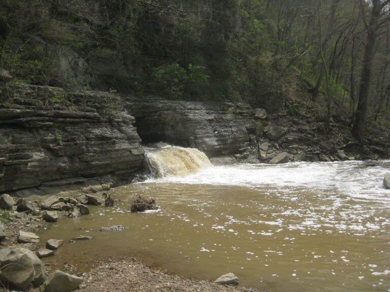
Photo: Eugene Peretz, CC BY-SA 2.0

Photo: David Antis, CC BY 2.0
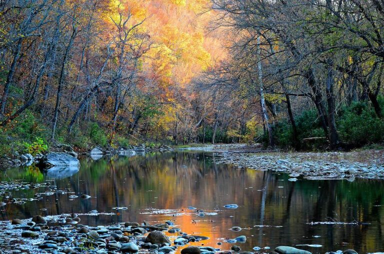
Photo: Noel Pennington, CC BY 2.0
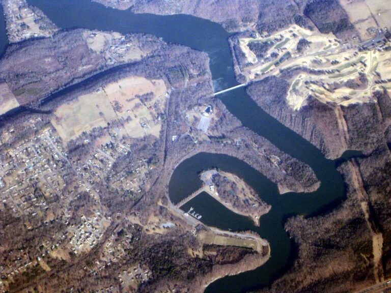
Photo: WorldIslandInfo.com, CC BY 2.0
What Tennesseans ask about the water in Maury County
Does TWRA list any ramps or marinas in Maury County?
TWRA counts 12 ramps and marinas inside the county line.
What is the largest body of water in Maury County?
Williamsport Lakes leads on size with 164 acres.
What does TWRA say swims in Maury County?
Each lake and stream row above shows the fish TWRA lists for it, where it lists any.
Which Maury County shops keep crickets and jigs on hand?
Academy Sports + Outdoors (Columbia) is one of 2.
What is the county seat of Maury County, Tennessee?
The seat is Columbia.
Which TWRA license covers a day of fishing in Maury County?
Anglers 13 and older need a Tennessee fishing license; TWRA lists the resident combo hunt/fish license at $33 and the nonresident annual fishing all species license at $98.
Which county pages sit closest to Maury County?
Try Marshall County, Williamson County and Lewis County.
Does a daily limit apply on lakes in Maury County?
The statewide lines in the 2026-27 Tennessee Fishing Guide apply unless TWRA lists the water by name, and a named-water line wins for the fish it covers; each lake, river and tailwater page here prints its own lines. The rules here are from the 2026-27 Tennessee Fishing Guide as TWRA posts it online, last updated September 15, 2026; TWRA had published no 2027-28 guide when this site checked.
Does this page cover the creeks of Maury County?
Rows cover the waters with no page, 2 named waters in all for the county.
Are there stocking dates for Maury County?
TWRA lists 1 dated stocking for the county; the newest are in the stocking band above, and numbers appear only where TWRA printed them.
Fish the coves and creeks of Maury County
Marina and ramp lines repeat what TWRA records.