Fishing in Grant County, Oregon
County seat: Canyon City. Population 7,233.
- 6lake pages
- 7open launches
- 3river pages
 Pick for troutPiscifun Carbon X ultralight spinning reel28% OFFSale $57.99
Photo of John Day River: Bureau of Land Management Oregon and Washington, CC BY 2.0
Getting to know the water in Grant County
7,233 Oregonians called Grant County home in 2020, with Canyon City as county seat. ODFW files most of the Grant County waters it names under the ODFW Northeast Zone rows, with drainages, not county lines, setting the edges.
Grant County shares 6 lake pages, and Olive Lake spreads widest. 7 open launches sit in the county on the OSMB map; 4 take a trailer.
Census 2020 population; BLM Oregon NHD lake outlines; OSMB Boating Access Sites; DLCD and ODFW shore access layers; 2026 Oregon Sport Fishing Regulations zone lists; read November 2, 2026.
A map of where to get on the water in Grant County
OSMB launch points, DLCD and ODFW shore sites, NHD lake points, PMEP estuary points; read November 2, 2026.
Lakes to try around Grant County
| Lake | Acres | Kind | OSMB launches | Fish mapped |
|---|---|---|---|---|
| Olive Lake | 150 (outline) | lake | 1 | brook trout, rainbow trout |
| Magone Lake | 40 (outline) | lake | 1 | brook trout, rainbow trout |
| Canyon Meadows Lake | 32 (outline) | lake | 1 | brook trout, rainbow trout |
| Bull Prairie Lake | 28 (outline) | lake | 1 | brook trout, rainbow trout |
| Officers Reservoir | 20 (outline) | reservoir | 0 | rainbow trout |
| Thomas Cavender Reservoir | 14 (outline) | reservoir | 0 | rainbow trout |
BLM Oregon hydrography lake outlines (NHD), summed by GNIS name (layer), read November 2, 2026. Species: ODFW Fish Habitat Distribution layers (ODFW ArcGIS), read November 2, 2026; a mapped species is habitat use ODFW records, not a catch report. ODFW publishes no lake depths in these layers.
 For the trout herePiscifun Carbon XT ultralight spinning reel25% OFFSale $59.99
What the habitat maps show near Grant County
rainbow trout tops the tally of water pages within 40 miles of Canyon City.
Species from ODFW Fish Habitat Distribution layers, booklet exceptions and ODFW records, counted per water page within 40 miles; habitat mapping, not a catch survey.
The rest of the named lakes in Grant County
Grant County holds 18 more named lakes on the outline map.
| Water | Acres (outline) | Nearest place |
|---|---|---|
| Pronghorn Reservoir | 70 | John Day |
| Buffalo Lake | 43 | Burns |
| Sproul Reservoir | 35 | John Day |
| Strawberry Lake | 34 | John Day |
| Tamarack Swamp | 19 | John Day |
| Baldy Lake | 19 | Baker City |
| Crawfish Lake | 16 | Baker City |
| Waller Reservoir Number Three | 14 | John Day |
| Slide Lake | 10 | John Day |
| Lost Lake (Grant County) | 9 | John Day |
| High Lake | 6 | John Day |
| Carpenter Pond | 4 | John Day |
| Roosevelt Lake | 4 | John Day |
| Jumpoff Joe Lake | 3 | John Day |
| Little Strawberry Lake | 2 | John Day |
| San Juan Log Ponds | 2 | John Day |
| Little Slide Lake | 2 | John Day |
| Twin Ponds | 0 | John Day |
BLM Oregon hydrography lake outlines (NHD), summed by GNIS name (layer), read November 2, 2026.
Drift and wade water in Grant County
- North Fork John Day RiverODFW maps spring chinook and summer steelhead runs, 5 OSMB launches, 1 USGS gauge
- Middle Fork John Day RiverODFW maps spring chinook and summer steelhead runs, 1 USGS gauge
- John Day River18 OSMB launches, 3 USGS gauges, 20 booklet exceptions
Other named rivers of Grant County (1)
- South Fork John Day RiverODFW maps spring chinook and summer steelhead runs
Stream gauges in Grant County
| USGS gauge | Latest reading | Time (ET) |
|---|---|---|
| North Fork John Day River At Monument, Or | 103 cfs, 2.49 ft gage height | Nov 11 8:30 pm |
| John Day River Near John Day, Or | 67 cfs, 3.60 ft gage height | Nov 11 8:45 pm |
| Middle Fork John Day River At Ritter, Or | 32 cfs, 1.89 ft gage height | Nov 11 8:45 pm |
| Mf John Day River Abv Camp Creek, Nr Galena, Or | 20 cfs, 3.95 ft gage height | Nov 11 8:30 pm |
US Geological Survey provisional data, retrieved Nov 11, 2026 9:33 pm ET. Provisional readings can be revised.
ODFW Fish Habitat Distribution stream names and runs, OSMB launches, booklet exceptions and USGS gauges; read November 2, 2026.
Where to launch in Grant County
- Big Bend launch on North Fork John Day RiverNorth Fork John Day River, hand carry launch
- Bull Prairie Campground boat rampBull Prairie Lake, 1 lane, trailered launch
- Canyon Meadows boat rampCanyon Meadows Lake, 1 lane, trailered launch
- Lone Pine launch on North Fork John Day RiverNorth Fork John Day River, hand carry launch
- Magone Lake Recreation Area boat rampMagone Lake, 1 lane, trailered launch
- Monument Boat Launch on North Fork John Day RiverNorth Fork John Day River, 1 lane, trailered launch
- Wrightman Canyon launch on North Fork John Day RiverNorth Fork John Day River, hand carry launch
- Olive Lake boat rampOlive Lake, closed per OSMB
Closed sites stay as plain rows; check the OSMB note on any restricted launch.
Oregon State Marine Board Boating Access Sites layer (OSMB ArcGIS), read November 2, 2026; status as OSMB publishes it. Oregon Coastal Management Program (DLCD) Shoreline Access Inventory (layer) and the ODFW shore access map, read November 2, 2026.
Stocked lakes and ponds of Grant County
Planned stocking in Grant County: 7 releases, 3 waters, 16,850 trout by the schedule.
- Olive Lake2 releases planned, next listed: May. 31, 2027 – Jun. 04, 2027: 3,050 legal-size trout
- Magone Lake2 releases planned, next listed: May. 03, 2027 – May. 07, 2027: 3,500 legal-size trout
- Bull Prairie Lake3 releases planned, next listed: May. 24, 2027 – May. 28, 2027: 1,250 legal-size trout
ODFW weekly trout stocking schedule (planned releases; ODFW prints size classes, not species), myodfw.com, read November 2, 2026.
The booklet table for Grant County
Every Grant County water missing from the exception list uses the zone limits. ODFW prices the 2026 annual angling license at $50 for Oregonians and $138 for nonresidents. The Combined Angling Tag ($69 resident) records any salmon, steelhead, sturgeon or halibut kept.
| Species | Limit | Season |
|---|---|---|
| Trout | Lakes: 5 per day, 3 daily limits in possession. Streams: 2 per day, 3 daily limits in possession; 8-inch minimum | Lakes: Open all year. Streams: Open May 22 – Oct 31, unless noted under Exceptions. |
| Kokanee | 10 per day unless noted under Exceptions. | Open all year. |
| Salmon | See Umatilla River under Exceptions. There is no annual limit on hatchery salmon as long as the appropriate number of Hatchery Harvest Tags have been purchased to record the catch. | Closed in all waters unless noted by species under Exceptions. |
| Steelhead | 3 per day. | Closed in all waters unless noted by species under Exceptions. |
| Sturgeon | Catch-and-release only. | Lakes: Open all year. Streams: Open during trout, salmon or steelhead seasons only, except portions of Columbia River tributaries flooded by John Day and. |
| Bass | Lakes: 5 per day, 3 daily limits in possession unless noted under Exceptions. Streams: No limit. | Lakes: Open all year. Streams: Open during trout, salmon or steelhead seasons only, except portions of Columbia River tributaries flooded by John Day and. |
| Bluegill, Catfish, Crappie, Other Sunfish, Walleye, Yellow Perch, Suck. | No limit. | Lakes: Open all year. Streams: Open during trout, salmon or steelhead seasons only, except portions of Columbia River tributaries flooded by John Day and. |
Exceptions printed for Grant County (20)
| Water | Species | Rule | Booklet |
|---|---|---|---|
| John Day River (Clatsop Co.) | hatchery steelhead, chinook, salmon | Open all year for hatchery steelhead and hatchery Chinook salmon. | p. 28 |
| John Day River (Clatsop Co.) | Use of bait allowed. | p. 28 | |
| John Day River (Mainline railroad bridge to North Fork) | hatchery steelhead | Open for hatchery steelhead Jan 1 – Apr 30 and Sept 1 – Dec 31. | p. 59 |
| John Day River (Mainline railroad bridge to North Fork) | bass, catfish, warmwater | Open all year for bass, catfish, and other warmwater fish. | p. 59 |
| John Day River (Mainline railroad bridge to North Fork) | Use of bait allowed. | p. 59 | |
| John Day River (Mainline railroad bridge to North Fork) | Closed from ODFW marker ¼ mi below Tumwater Falls to 200 ft above the falls near the head of John Day Arm. | p. 59 | |
| John Day River (Mainline railroad bridge to North Fork) | steelhead, salmon | Closed to Salmon and Steelhead angling from Sep 1 – Dec 31 from Mainline railroad bridge to ODFW marker 1/4 mi below Tumwater Falls. | p. 59 |
| John Day River (North Fork to Indian Cr) | hatchery steelhead | Open for hatchery steelhead Jan 1 – Apr 30 and Sep 1 – Dec 31. | p. 59 |
| John Day River (North Fork to Indian Cr) | Use of bait allowed. | p. 59 | |
| John Day River (Above Indian Cr) | Use of bait allowed. | p. 59 | |
| John Day River, Middle Fork (Mouth to Hwy 395 bridge) | hatchery steelhead | Open for hatchery steelhead Jan 1 – Apr 30 and Sep 1 – Dec 31. | p. 60 |
| John Day River, Middle Fork (Mouth to Hwy 395 bridge) | Use of bait allowed. | p. 60 | |
| John Day River, Middle Fork (Above Hwy 395 bridge) | Use of bait allowed. | p. 60 | |
| John Day River, Middle Fork (Above Hwy 395 bridge) | Hook-gap size may not exceed 3/8 inch. | p. 60 | |
| John Day River, Middle Fork (Above Hwy 395 bridge) | Closed from Hwy 7 to Summit Cr. | p. 60 | |
| John Day River, North Fork (Mouth to Hwy 395 bridge) | hatchery steelhead | Open for hatchery steelhead Jan 1 – Apr 30 and Sep 1 – Dec 31. | p. 60 |
| John Day River, North Fork (Mouth to Hwy 395 bridge) | Use of bait allowed. | p. 60 | |
| John Day River, North Fork (Hwy 395 bridge to USFS North Fork Campground) | Use of bait allowed. | p. 60 | |
| John Day River, North Fork (Hwy 395 bridge to USFS North Fork Campground) | Hook-gap size may not exceed 3/8 inch. | p. 60 | |
| John Day River, North Fork (Above North Fork Campground) | Use of bait allowed. | p. 60 |
Limits as printed in the 2026 Oregon Sport Fishing Regulations (ODFW, eRegulations edition) (Northeast Zone page), read November 2, 2026. Water exceptions as printed in the 2026 Oregon Sport Fishing Regulations (ODFW, eRegulations edition) (booklet PDF; printed page shown), read November 2, 2026. In-season changes from ODFW override them. Fees as printed on the ODFW license, tag and permit fee page of the 2026 Oregon Sport Fishing Regulations (ODFW, eRegulations edition) (fees page), read November 2, 2026.
Near Grant County
Cities and towns of Grant County
- John Daypop. 1,664
Across the line from Grant County
- Wheeler County53 miles west
- Baker County67 miles east
- Morrow County70 miles northwest
- Crook County71 miles west
Piscifun reels and line chosen with Grant County in mind


Piscifun and Amazon links are affiliate links; the site earns a commission on qualifying purchases.
Photographs from the shoreline near Grant County
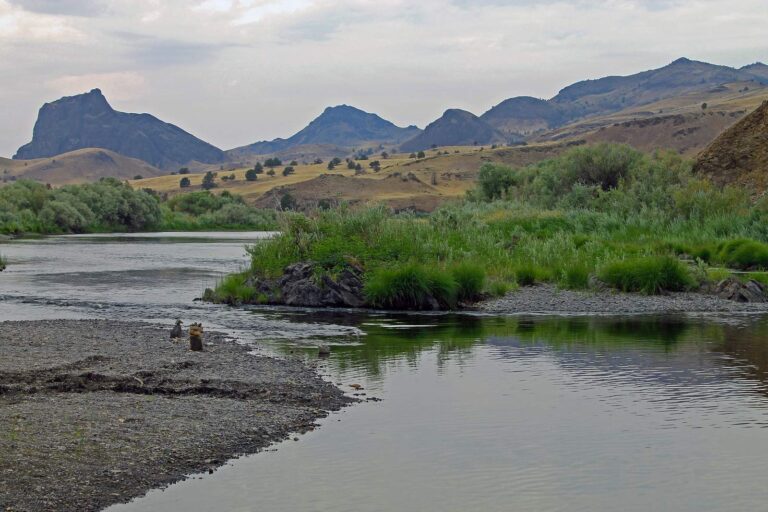
Photo: Bureau of Land Management Oregon and Washington, CC BY 2.0
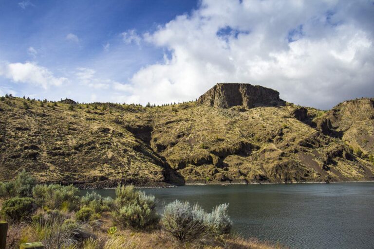
Photo: Bonnie Moreland, Public domain
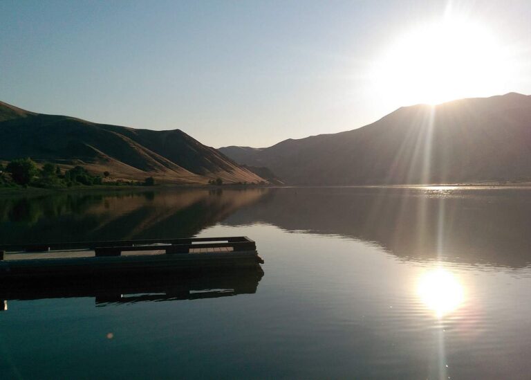
Photo: Oregon Department of Fish & Wildlife, CC BY-SA 2.0
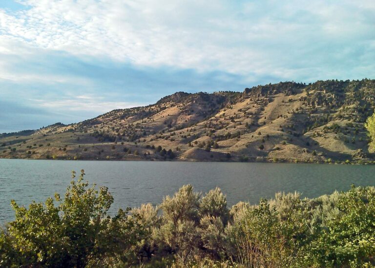
Photo: Oregon Department of Fish & Wildlife, CC BY-SA 2.0
Settling the usual questions about water in Grant County
Where are the boat ramps in Grant County?
OSMB shows 7 open launches; 4 take trailers.
What is the biggest lake outline on the Grant County map?
Olive Lake, about 150 acres on its mapped outline.
What can an angler target in Grant County?
Rainbow trout lead the count of water pages within 40 miles, then brook trout, black crappie and largemouth bass.
Is there a bait and tackle store in Grant County?
The closest counter is outside the county.
Do guide services list an address in Grant County?
No charter or guide names it.
Where is the Grant County seat?
Canyon City holds the courthouse.
Which fishing license fits Grant County?
The 2026 fee page lists the yearly angling license at $50 resident, $138 nonresident. Keep a salmon or steelhead and you need the Combined Angling Tag too, $69 for residents.
Which county centre sits nearest Grant County?
Closest by centre point: Wheeler County, Baker County and Morrow County.
Which zone rows govern Grant County?
In the booklet, the bulk of Grant County waters sit in the ODFW Northeast Zone pages, since zones track watersheds.
Which exception rows reach Grant County?
The 2026 booklet prints 20 water exceptions reaching this county, starting with John Day River (Clatsop Co.); the table above shows each.
Which waters in Grant County does ODFW plant?
Yes: 3 waters on the ODFW schedule, such as Olive Lake, Magone Lake and Bull Prairie Lake; releases are planned, not confirmed.
Choose your Grant County water
Lake pages list launches, species and limits.