Beaver Creek estuary Fishing
A coastal estuary in Lincoln County, about 240 acres of tidal habitat.
 Pick for rockfishPiscifun AlinoX 400 baitcaster with bait clicker25% OFFSale $149.99
Photo of Yaquina Head: m01229, CC BY-SA 2.0
Getting your bearings on Beaver Creek estuary
The PMEP estuary layer draws Beaver Creek estuary at roughly 97 hectares (about 240 acres) in Lincoln County. Its habitat class is riverine estuary. The ODFW ocean area off it is the Central Oregon Coast Subarea. Expect about 7 miles to reach Waldport.
Launch at any of 1 launch site. DLCD and ODFW map 2 dock, pier or jetty sites.
Pacific Marine and Estuarine Fish Habitat Partnership estuary extent (PMEP), read November 2, 2026. Census 2023 places.
Launching for Beaver Creek estuary
- Beaver Creek Day Use boat ramp on Beaver Creek estuaryBeaver Creek (Pacific Ocean); 1 lane, trailered launch; parking, restrooms, use fee; Oregon Parks and Recreation Department
Shore spots along Beaver Creek estuary
- Ona Beach State Park on Beaver Creek estuaryshore site
- Seal Rock State Park on Beaver Creek estuaryshore site
Oregon State Marine Board Boating Access Sites layer (OSMB ArcGIS), read November 2, 2026; status as OSMB publishes it. Oregon Coastal Management Program (DLCD) Shoreline Access Inventory (layer) and the ODFW shore access map, read November 2, 2026.
NOAA stations near Beaver Creek estuary
NOAA CO-OPS water level, preliminary reading at retrieval; station page for live data.
- Waldport, Alsea BayNOAA tide predictions
- Weiser Point, Yaquina RiverNOAA tide predictions
- SouthbeachNOAA tide predictions
- YAQUINA USCG STA, NEWPORTNOAA tide predictions
- Drift Creek, Alsea RiverNOAA tide predictions
- TOLEDONOAA tide predictions
Minus tides open the clam flats at Beaver Creek estuary; the stations above give the times.
NOAA CO-OPS stations and tide predictions, read November 2, 2026.
Bag limits on Beaver Creek estuary
| Species | Daily limit as printed | Season |
|---|---|---|
| General Marine Species: Rockfish ("sea bass", "snapper"), Greenling (“. | Bag limits are set after this book is printed. Check current regulations before fishing on the Sport Bottomfish Seasons page. Retention of yelloweye and quillback rockfishes is prohibited. | Waters are open 24 hours per day. The offshore long-leader fishery is limited to fishing seaward of the 40-fathom regulatory line. |
| Lingcod (including green-colored lingcod) | 3 fish. | Waters are open 24 hours per day. The offshore long-leader fishery is limited to fishing seaward of the 40-fathom regulatory line. |
| Sablefish (black cod) | 10 fish. | Waters are open 24 hours per day. The offshore long-leader fishery is limited to fishing seaward of the 40-fathom regulatory line. |
| Flatfish (flounders, soles, sanddabs, turbots, and halibuts except Pac. | 25 fish in aggregate. | Waters are open 24 hours per day. The offshore long-leader fishery is limited to fishing seaward of the 40-fathom regulatory line. |
| Surfperch (includes all marine perch species) | 15 fish in aggregate. | Waters open all year, 24 hours per day, unless noted under Management Designations for Marine Areas. |
| Herring, Anchovy, Sardine, Topsmelt, Jacksmelt, and true smelts | 25 pounds in aggregate. | Waters open all year, 24 hours per day, unless noted under Management Designations for Marine Areas. |
| Offshore Pelagic Species: Includes all tuna and mackerel species, swor. | 25 fish in aggregate. White shark, basking shark, mega-mouth shark, and oceanic whitetip shark are prohibited and must be immediately released unharmed. | Waters open all year, 24 hours per day, unless noted under Management Designations for Marine Areas. |
| Striped Bass and/or Hybrid Bass | No limit | Waters open all year, 24 hours per day, unless noted under Management Designations for Marine Areas. |
| Sturgeon | Catch-and-release only. | Open all year. |
| Salmon and Steelhead | Ocean salmon and steelhead seasons and restrictions are set each April by the Pacific Fishery Management Council. Regulations are published each May and are available from license agents. | Ocean salmon and steelhead seasons and restrictions are set each April by the Pacific Fishery Management Council. |
| Pacific Halibut | May be taken by angling with a single line, no more than 2 hooks; and by spear. Pacific halibut seasons are managed and enforced based on port of landing. | May be taken by angling with a single line, no more than 2 hooks; and by spear. Pacific halibut seasons are managed and enforced based on port of landing. |
| Razor Clams | First 15 dug (no sorting or releasing). | Waters open all year, 24 hours per day Exceptions: Razor clams are closed Jul 15 to Sep 30 north of Tillamook Head (Clatsop County) Shellfish harvests may be cl. |
When the ocean is open in Beaver Creek estuary
| Fishery and area | Season | Limit |
|---|---|---|
| crab, Bays, beaches, estuaries, tide pools, piers and jetties | Open for crabbing all year, 24 hours per day. | Dungeness crab 12 (males only); 5-3/4" minimum size |
Ocean seasons as published by ODFW (myodfw.com, myodfw.com, dfw.state.or.us, eregulations.com), read November 2, 2026; ODFW changes ocean seasons in season.
For Beaver Creek estuary, start with the Marine Zone rows shown here.
An Oregon angling license ($50 resident, $138 nonresident for 2026) covers anglers 12 and older; ocean fishing from boats, beaches and jetties now also needs the Ocean Endorsement ($9 annual) unless you fish only for salmon or steelhead.
Limits as printed in the 2026 Oregon Sport Fishing Regulations (ODFW, eRegulations edition) (Marine Zone page), read November 2, 2026.
 For the rockfish herePiscifun Saltflow offshore rod25% OFFSale $299.99
Offshore seasons that apply past Beaver Creek estuary
Halibut off Beaver Creek estuary falls under the Central Oregon Coast Subarea, where ODFW prints: Spring All-Depth Season: May 1 through July 31, seven days per week, or until the quota is caught.
How Beaver Creek estuary compares along the coast
| Bay or estuary | Distance | Acres (PMEP) | OSMB launches | Shore sites | Marinas |
|---|---|---|---|---|---|
| Beaver Creek estuary | 240 | 1 | 2 | 0 | |
| Alsea Bay | 6 miles south | 3,562 | 10 | 1 | 4 |
| Yaquina Bay | 7 miles northeast | 6,649 | 9 | 1 | 9 |
| Little Creek estuary | 11 miles north | 12 | 0 | 3 | 0 |
| Depoe Bay | 20 miles north | 12 | 1 | 3 | 1 |
| Siletz Bay | 27 miles north | 2,711 | 7 | 1 | 3 |
PMEP extents, OSMB launches, DLCD and ODFW shore sites, Clean Marina list; read November 2, 2026.
Stops worth making near Beaver Creek estuary
Further streams beside the Beaver Creek estuary
- Alsea River6 miles
- Yaquina River7 miles
- Yachats River14 miles
- Siletz River27 miles
More Oregon lakes close to Beaver Creek estuary
- Eckman Lake7 miles south
- Newport Reservoir10 miles north
- Olalla Reservoir14 miles northeast
- Alder Lake31 miles south
Gear shops in range of Beaver Creek estuary
- Shrimp Daddy Bait & Tacklebait and tackle shop, Waldport, 6 miles
- Sawyer's Landing Marina & RVmarina, Newport, 7 miles
- Drift Creek Landingmarina, Waldport, 8 miles
- Port of Newportmarina, Toledo, 8 miles
- Harry's Bait & Tacklebait and tackle shop, Newport, 8 miles
- Carver Inc Port Dock 5marina, Newport, 8 miles
Who guides or charters near Beaver Creek estuary
- Blue Max Inccharter, Depoe Bay
- Brand X Charters LLCcharter, Newport
- Captain's Reel Deep Sea Fishing Chartercharter, Newport, (541) 265-7441
- Craig A Calkinscharter, Depoe Bay
- Depoe Bay Fishing & Whale Watching Inccharter, Depoe Bay
- Dockside Charterscharter, Depoe Bay, (541) 765-2545
- Enterprise Marine LLCcharter, Newport
- Gracie K LLCcharter, Newport
Lodging towns close to Beaver Creek estuary
- Waldport7 miles
- Newport7 miles
- Toledo10 miles
County guides covering Beaver Creek estuary
- Lincoln Countyseat: Newport
Piscifun gear an angler could carry out to Beaver Creek estuary


Piscifun and Amazon links are affiliate links; the site earns a commission on qualifying purchases.
The look of the water close to Beaver Creek estuary
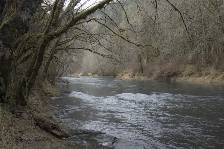
Photo: Bonnie Moreland, Public domain
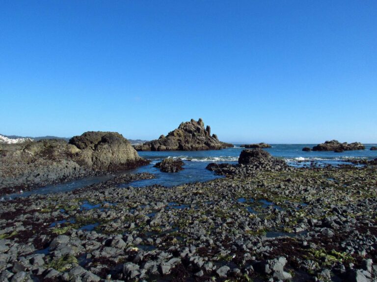
Photo: Jeff Hollett, Public domain
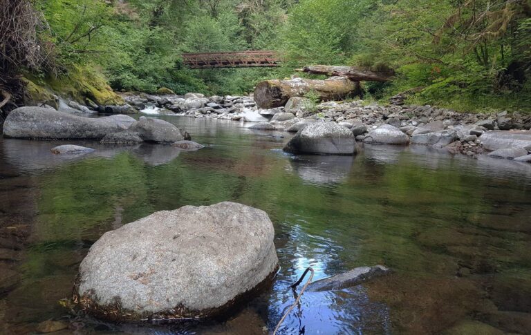
Photo: Bureau of Land Management Oregon and Washington, CC BY 2.0
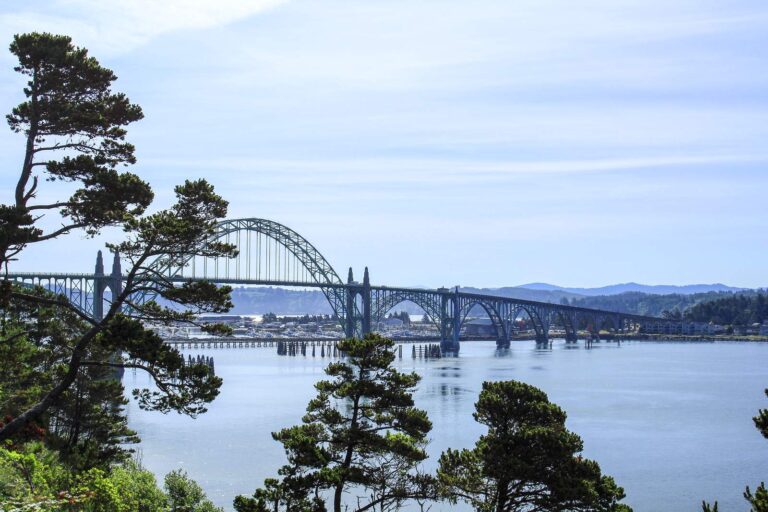
Photo: Bonnie Moreland, CC0 1.0
Read these before you fish Beaver Creek estuary
Which county holds Beaver Creek estuary?
The estuary sits in Lincoln County, about 7 miles from Waldport.
How big is Beaver Creek estuary on the PMEP map?
About 97 hectares of tidal habitat.
Which OSMB ramp is closest to Beaver Creek estuary?
Try Beaver Creek Day Use boat ramp on Beaver Creek estuary, one of 1 launch site.
What shellfish can I gather at Beaver Creek estuary?
ODFW has no dedicated crab and clam page for it; Marine Zone shellfish rules still apply. A shellfish license is needed for anglers 12 and older.
How many crab can I keep at Beaver Creek estuary?
Razor Clams: First 15 dug (no sorting or releasing).
Can a visitor fish Beaver Creek estuary?
An Oregon angling license ($50 resident, $138 nonresident for 2026) covers anglers 12 and older; ocean fishing from boats, beaches and jetties now also needs the Ocean Endorsement ($9 annual) unless you fish only for salmon or steelhead.
Are there docks at Beaver Creek estuary?
Yes: 2 shore sites, Ona Beach State Park on Beaver Creek estuary among them.
Where is a tackle shop near Beaver Creek estuary?
First on our list: Shrimp Daddy Bait & Tackle, roughly 6 miles away.
How do I time the tide at Beaver Creek estuary?
Use Waldport, Alsea Bay; its predictions are linked above.
Make Beaver Creek estuary the coast weekend
Buy the Oregon license and tag online before the drive.