Fishing near Missoula, Montana
City, Missoula County. Census 2020 residents: 73,489.
- 15 milesFrenchtown Pond
- 8ramps within 40 mi
- 6rivers within 45 mi
 Pick for cutthroat troutPiscifun Carbon X ultralight spinning reel28% OFFSale $57.99
Photo: Justin Brockie, CC BY 2.0
What Missoula, Montana offers anyone with a rod
Counted in 2020, Missoula (city, Missoula County) had 73,489 people. Offices of Montana's Missoula County sit in town. Frenchtown Pond is the shortest trip to a lake page from here: 15 miles, northwest of the Census point. The table's largest lake is Placid Lake, listed at 1,212 acres. St Marys Lake touches reservation land, so tribal rules can apply.
Boats go in at Kelly Island Fishing Access Site, roughly 4 miles from town. At 12 miles, Blackfoot River is the stretch of river nearest town. Without a boat, Kona Bridge Fishing Access Site on Clark Fork River is about 6 miles away.
U.S. Census Bureau, 2020 Census counts (TIGERweb) and the 2023 Gazetteer, read November 12, 2026. Straight-line miles from the Census place point.
Closest reservoirs to Missoula
| Lake | From Missoula | Size | Access sites | Kind | MFISH lists |
|---|---|---|---|---|---|
| Frenchtown Pond | 15 miles northwest | about 20 acres of mapped outline | 0 | pond | largemouth bass, pumpkinseed, rainbow trout |
| Boulder Lake | 16 miles northeast | 109 acres | 0 | natural lake | Westslope cutthroat trout, Yellowstone cutthroat trout |
| Beavertail Pond | 23 miles southeast | 11 acres | 1 | pond | largemouth bass, rainbow trout, Westslope cutthroat trout |
| St Marys Lake | 27 miles north | 273 acres | 0 | natural lake | brook trout, rainbow trout, Westslope cutthroat trout |
| Placid Lake | 29 miles northeast | 1,212 acres | 0 | natural lake | brown trout, kokanee salmon, largemouth bass |
| Gray Wolf Lake | 30 miles north | 342 acres | 0 | natural lake | Yellowstone cutthroat trout |
Size as the FWP FishMT page for this water prints it (FishMT), read November 12, 2026. Waters with no FishMT size print their mapped outline instead. Montana FWP Lakes reference layer (ArcGIS service) and the MFISH fish distribution layers, read November 12, 2026.
 For the cutthroat trout herePiscifun Carbon XT ultralight spinning reel25% OFFSale $59.99
Getting to a Montana stream from Missoula
- Blackfoot River12 miles, exception rules, 11 access sites, 2 USGS gauges
- Clark Fork River25 miles, exception rules, 25 access sites, 4 USGS gauges
- Bitterroot River25 miles, exception rules, 12 access sites, 3 USGS gauges
- Fish Creek31 miles, exception rules, 1 access site
- Clearwater River33 miles, exception rules, 2 access sites
- West Fork Clearwater River34 miles, exception rules
Current USGS Montana flow by Missoula
| USGS gauge | Latest reading | Time (ET) |
|---|---|---|
| Bitterroot River Near Missoula Mt | 891 cfs, 3.34 ft gage height | Nov 15 3:00 pm |
| Clark Fork Above Missoula Mt | 1,510 cfs, 2.68 ft gage height | Nov 15 4:00 pm |
| Clark Fork Below Missoula Mt | 2,400 cfs, 1.30 ft gage height | Nov 15 3:00 pm |
US Geological Survey provisional data, retrieved Nov 15, 2026 4:33 pm ET. Provisional readings can be revised.
Montana FWP MFISH stream layers (ArcGIS service) for this river, read November 12, 2026. USGS Water Data for the Nation, live through the site, retrieved on page view.
Big Sky fishing spots around Missoula on a map
FWP Fishing Access Sites layer (ArcGIS service) and the FishMT site pages, read November 12, 2026. Census place point.
Nearest Montana put-ins from Missoula
- Kelly Island Fishing Access Site4 miles, water not named, fishing access site, ramp (concrete), concrete surface, 706 acres
- Sha-Ron Fishing Access Site on Clark Fork River4 miles, Clark Fork River, fishing access site, ramp (gravel), gravel surface, 1 acres
- Weigh Station Fishing Access Site on Blackfoot River8 miles, Blackfoot River, fishing access site, ramp (concrete), concrete surface, 6 acres
- Harper's Bridge Fishing Access Site on Clark Fork River9 miles, Clark Fork River, fishing access site, ramp (concrete), concrete surface, 12 acres
- Deep Creek Fishing Access Site on Clark Fork River10 miles, Clark Fork River, fishing access site, ramp (gravel), gravel surface, 36 acres
- Turah Fishing Access Site on Clark Fork River11 miles, Clark Fork River, fishing access site, ramp (gravel), gravel surface, 21 acres
- Johnsrud Park Fishing Access Site on Blackfoot River17 miles, Blackfoot River, fishing access site, ramp (concrete), concrete surface, 18 acres
- Florence Bridge Fishing Access Site on Bitterroot River17 miles, Bitterroot River, fishing access site, ramp (gravel), gravel surface, 12 acres
FWP access sites for Missoula anglers
- Kona Bridge Fishing Access Site on Clark Fork River6 miles, Clark Fork River, fishing access site, no boat facilities, 3 acres
- Marco Flats Fishing Access Site on Blackfoot River9 miles, Blackfoot River, fishing access site, hand launch, 2 acres
- Angevine Fishing Access Site on Blackfoot River13 miles, Blackfoot River, fishing access site, hand launch, 13 acres
- K. Ross Toole Fishing Access Site on Blackfoot River14 miles, Blackfoot River, fishing access site, no boat facilities, 31 acres
- Chief Looking Glass Fishing Access Site on Bitterroot River15 miles, Bitterroot River, fishing access site, hand launch, 13 acres
- Frenchtown Pond State Park Dock15 miles, water not named, state park dock
FWP Fishing Access Sites layer (ArcGIS service) and the FishMT site pages, read November 12, 2026.
What FWP released near Missoula lately
| Lake | From Missoula | Date | Species | Fish | Average length |
|---|---|---|---|---|---|
| Frenchtown Pond | 15 miles | September 22, 2026 | Rainbow trout | 359 | 12.02 in. |
| Frenchtown Pond | 15 miles | June 5, 2026 | Rainbow trout | 484 | 10.44 in. |
| Frenchtown Pond | 15 miles | May 28, 2026 | Rainbow trout | 150 | 16.3 in. |
| Beavertail Pond | 23 miles | November 5, 2026 | Rainbow trout | 133 | 20.77 in. |
| Beavertail Pond | 23 miles | July 9, 2026 | Westslope cutthroat trout | 800 | 10.36 in. |
| Beavertail Pond | 23 miles | May 14, 2026 | Rainbow trout | 538 | 10.37 in. |
| Placid Lake | 29 miles | September 29, 2026 | Westslope cutthroat trout | 11,900 | 5.89 in. |
FWP FishMT stocking report for 2026, year to date (FishMT plant report), read November 12, 2026.
The 2026 book as it applies near Missoula
The rules here are from the 2026 Montana Fishing Regulations, valid March 1, 2026 through the end of February 2027; FWP had published no 2027 booklet when this was checked. Around Missoula, the district chart for the water governs unless the book prints exception lines for it. Anglers 12 and older buy a Conservation License, an aquatic invasive species pass and a fishing license; the 2026 Montana Fishing Regulations prints $8, $2 and $21 for a resident full season and $10, $7.50 and $100 for a nonresident.
Western district chart Central district chart Eastern district chart
- Frenchtown PondCatch-and-release for bass. (FRENCHTOWN POND)
- Placid LakeCatch-and-release for largemouth bass. (PLACID LAKE)
2026 Montana Fishing Regulations (valid March 1, 2026 through February 28, 2027; FWP PDF), read November 12, 2026. License prices as printed on the FWP fishing license page and in the 2026 Montana Fishing Regulations, p. 12 (the two agree), read November 12, 2026.
Record catches close to Missoula
| Species | Weight or length as listed | Water | Year | Marked |
|---|---|---|---|---|
| Peamouth | 1.52 lbs. | Clark Fork River | 2007 | native |
| Largescale sucker | 6.86 lbs. | Salmon Lake | 2026 | native |
| Lake trout | 42.69 lbs. | Flathead Lake | 2004 | not marked native |
| Lake whitefish | 10.46 lbs. | Flathead Lake | 2006 | not marked native |
| Pygmy whitefish | 0.36 lbs. | Little Bitterroot Lake | 2010 | not marked native |
Montana state record fish as FWP lists them (records page), read November 12, 2026. Record waters within 120 miles.
Organized fishing near Missoula
| Date | Event | Water | Organizer |
|---|---|---|---|
| Oct. 12, 2026 | Chancy's Fish Camp Fall Whitefish Festival | Flathead River | Chancy's Fish Camp |
Event as listed by the organizer (source), read November 12, 2026.
Montana bait counters close to Missoula
Bait and fly shops worth a detour before Missoula
- Sportsman's Warehouse, 2323 N Reserve Stbait and tackle shop, Missoula, 1 mile
- Grizzly Hackle Fly Shopfly shop, Missoula, 1 mile
- Missoulian Angler Fly Shopfly shop, Missoula, 2 miles
- Kingfisher Fly Shopfly shop, Missoula, 2 miles
- Scheels, 2901 Brooks St Ste N1bait and tackle shop, Missoula, 2 miles
- The King Fisherbait and tackle shop, Missoula, 2 miles
- Bob Ward & Sons Inc, 3015 Paxson Stbait and tackle shop, Missoula, 2 miles
- Bass Pro Shops, 3650 Brooks Stbait and tackle shop, Missoula, 3 miles
Hiring a Montana guide for Missoula
- Blackfoot River Outfitters Incfishing guide, Missoula, (406) 542-7411
- Bull Basin Outfittersfishing guide, Missoula
- Sheerwater Guide Servicefishing guide, Missoula, (406) 370-4784
Yellow Pages, State Parks and operator listings; miles only where the listing has an exact address point, read November 12, 2026. No guide is called licensed.
Along the same valley as Missoula
Neighboring Montana towns to Missoula
- Orchard Homes3 miles, 2020 count 5,377
- Lolo8 miles, 2020 count 4,399
- Stevensville26 miles, 2020 count 2,002
- Hamilton43 miles, 2020 count 4,659
- Ronan45 miles, 2020 count 1,955
Other Montana still water near Missoula
- Frenchtown Pond15 miles
- Boulder Lake16 miles
- Beavertail Pond23 miles
- St Marys Lake27 miles
- Missoula Countycounty page
Piscifun tackle chosen for a Montana day at Missoula


Piscifun and Amazon links are affiliate links; the site earns a commission on qualifying purchases.
Prairie reservoirs and Rockies lakes by Missoula through a lens
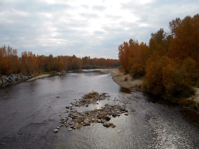
Photo: Alkula's, CC BY 2.0
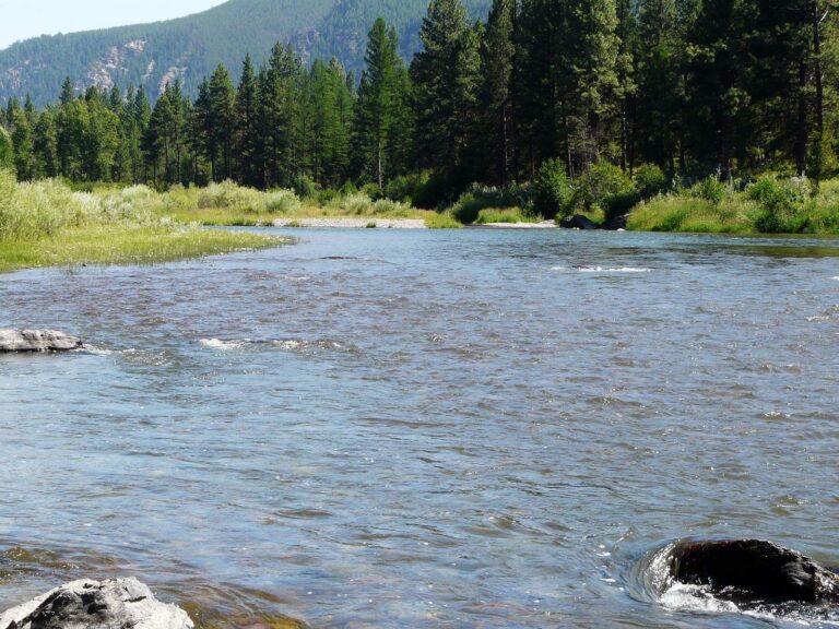
Photo: photogramma1, CC BY-SA 2.0
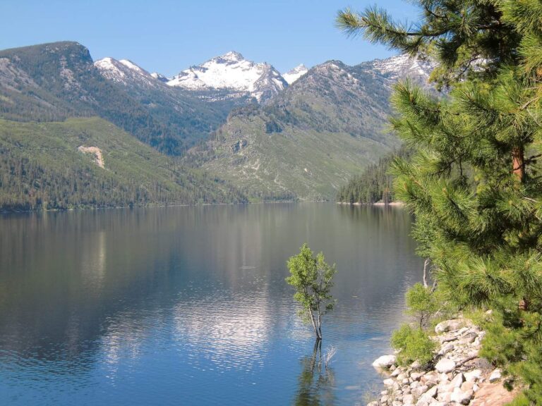
Photo: Forest Service Northern Region, CC BY 2.0
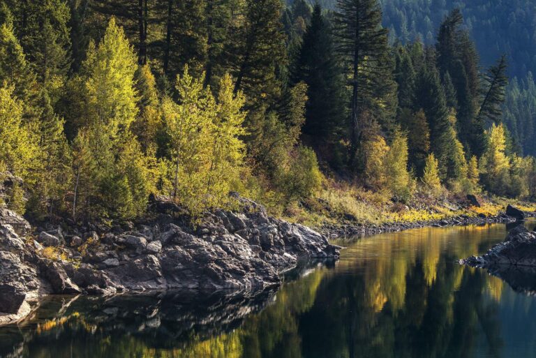
Photo: GlacierNPS, Public domain
Queries from Montana visitors booked into Missoula
Which Montana lake is a short drive from Missoula?
Frenchtown Pond, about 15 miles northwest.
Where can I launch a boat near Missoula, Montana?
Kelly Island Fishing Access Site, 4 miles away, on water not named.
Is there a walk-in fishing access site near Missoula?
Kona Bridge Fishing Access Site on Clark Fork River, 6 miles away (fishing access site, no boat facilities, 3 acres).
Which Montana stores near Missoula sell fishing gear?
Sportsman's Warehouse, 2323 N Reserve St, one of 8 listings nearby.
In which Montana county is Missoula?
Missoula County. It is the Montana county seat as well.
What do visitors to Missoula need to buy?
Anglers 12 and older buy a Conservation License, an aquatic invasive species pass and a fishing license; the 2026 Montana Fishing Regulations prints $8, $2 and $21 for a resident full season and $10, $7.50 and $100 for a nonresident.
Which Montana towns are a short drive from Missoula?
Orchard Homes (3 miles), Lolo (8 miles) and Stevensville (26 miles).
What is the daily limit near Missoula?
Limits depend on the FWP fishing district and on any exception heading printed for the water; the Western, Central and Eastern district pages on this site give the charts. The rules here are from the 2026 Montana Fishing Regulations, valid March 1, 2026 through the end of February 2027; FWP had published no 2027 booklet when this was checked.
Which Montana river is closest to Missoula?
The closest river page is Blackfoot River, 12 miles from the town point.
What did FWP stock near Missoula?
FishMT lists rainbow trout at Frenchtown Pond on September 22, 2026, 15 miles from town.
Which lakes near Missoula touch a reservation?
St Marys Lake; check with the tribe, since its rules can apply on top of FWP licenses.
Plan a Big Sky trip from Missoula
Ramp pages repeat FWP notes with directions.