Ross Barnett Reservoir Fishing
In Rankin County: a reservoir of 33,000 acres, by the agency record.
 Pick for largemouthPiscifun Chaos Pro CNC baitcasting reel25% OFFSale $97.99
Photo: Tony Webster, CC BY 4.0
Sizing up Ross Barnett Reservoir before the drive in in Mississippi
A reservoir in Rankin County, Ross Barnett Reservoir is described on its MDWFP page as 33,000 acres. It is run by Pearl River Valley Water Supply District. Gluckstadt is the Census place closest to it, about 9 miles off.
Boaters find 18 ramps in the MDWFP ramp list. The fishing-site layer adds 3 sites.
MDWFP record for Ross Barnett Reservoir (MDWFP source), read November 19, 2026.
Acres as stated on the MDWFP lake page for Ross Barnett Reservoir (MDWFP lake page), read November 19, 2026. The MDWFP mapped polygon and the USGS outline give different figures, so each is labeled with its source.
U.S. Census Bureau, 2020 Census counts (TIGERweb) and the 2023 Gazetteer, read November 19, 2026.
What MDWFP says about Ross Barnett Reservoir
Here is how MDWFP introduces Ross Barnett Reservoir: "Ross Barnett Reservoir, is operated by the Pearl River Valley Water Supply District (PRVWSD). The MDWFP Fisheries Bureau oversees the management and conservation of the reservoir's fisheries resources and provides regular fishing reports."
Who runs the water matters for access and rules: the operator listed is Pearl River Valley Water Supply District, so ask that office about gates, hours and camping.
MDWFP record for Ross Barnett Reservoir (MDWFP source), read November 19, 2026.
Mississippi: boat ramps at Ross Barnett Reservoir
- Tommy's Trading Post Fishing Area on Ross Barnett Reservoirboat ramp
- Brown's Landing on Ross Barnett Reservoirboat ramp
- Cane Creek Landing on Ross Barnett Reservoirboat ramp
- Coal Bluff Fishing Area on Ross Barnett Reservoirboat ramp
- Fannin Landing on Ross Barnett Reservoirboat ramp
- Goshen Camp Ground Fishing Area on Ross Barnett Reservoirboat ramp
- Goshen South Landing on Ross Barnett Reservoirboat ramp
- Haley Creek Landing on Ross Barnett Reservoirboat ramp
- Lowhead Dam Fishing Area on Ross Barnett Reservoirboat ramp
- Main Harbor Landing on Ross Barnett Reservoirboat ramp
- Pelahatchie Shore Park on Ross Barnett Reservoirboat ramp
- Pelahatchie Trading Post Fishing Area on Ross Barnett Reservoirboat ramp
- Rankin Landing on Ross Barnett Reservoirboat ramp
- Ratlif Ferry Fishing Area on Ross Barnett Reservoirboat ramp
- Safe Harbor on Ross Barnett Reservoirboat ramp
- Turtle Creek Fishing Area on Ross Barnett Reservoirboat ramp
- Twin Harbors Landing on Ross Barnett Reservoirboat ramp
- Waterwood Boat Launch on Ross Barnett Reservoirboat ramp
Mapped bank and pier points on Ross Barnett Reservoir
- Hwy 43 Pier on Ross Barnett Reservoirfishing pier
- Spillway Road Pier on Ross Barnett Reservoirfishing pier
- Pelahatchie Bay Pier on Ross Barnett Reservoirfishing pier
Read each entry as a pin on a map, never as a confirmed open ramp.
MDWFP Fishing Dashboard boat ramps layer (ArcGIS service), read November 19, 2026. Lanes, hours and fees are not published; the fee type is a label only.
Reading the level at Ross Barnett Reservoir
USGS has no current reading for these gauges.
USACE readings for Ross Barnett Reservoir, Nov. 19, 2:00 a.m. EST.
USACE CWMS reporting API for Ross Barnett Reservoir (water.usace.army.mil), readings as served with their time stamps, read November 19, 2026. Not live; elevations carry the datum the Corps lists.
USACE readings for Ross Barnett Reservoir, Nov. 19, 2:00 a.m. EST.
USACE CWMS reporting API for Ross Barnett Reservoir (water.usace.army.mil), readings as served with their time stamps, read November 19, 2026. Not live; elevations carry the datum the Corps lists.
NOAA and Corps readings are posted on their own schedule, so the time is printed.
Creel math for a trip to Ross Barnett Reservoir
The limits below govern a day at Ross Barnett Reservoir, and any row copied from the agency lake page follows. Statewide limits apply unless MDWFP lists a special rule for the water; the special rows here were read from its lake pages and Rule 1.4 tables.
| Fish as printed | Daily limit as printed | Minimum size as printed | Special |
|---|---|---|---|
| Black bass (combined largemouth, spotted, smallmouth) | 10 | ||
| Sauger | 10 | ||
| Walleye | 3 | Harvest and possession of walleye prohibited in Lake Lamar Bruce, Elvis Presley Lake, Lake Monroe, Choctaw Lake (Choctaw County) (public-water-body page) and in the Old Tombigbee River and its tributaries north of Hwy 278 (Monroe, Itawamba, Prentiss counties) (Rule 1.4 A.3). Water-specific creel in waters table. | |
| Striped bass and striped bass hybrids | 6 | 15 in minimum | |
| Crappie (combined black and white) | 30 | Lake-specific crappie rules apply (e.g. 12 in / 10 per day on Sardis, Grenada, Enid, Arkabutla). | |
| Bream (combined bluegill, redear and other sunfish) | 100 | ||
| Alligator gar | 2 | Alligator gar harvest prohibited on Bee Lake (Holmes County). | |
| Paddlefish | 2 | must be less than 30 in (measured eye to fork of tail) | Paddlefish over 30 in must be released; no harvest in the Tenn-Tom Waterway, Tombigbee River and tributaries, or Pickwick Lake. |
| Catfish (blue, channel, flathead) | 10 only at MDWFP State Fishing Lakes and State Park Lakes; no creel limit on other waters | On border waters with Alabama and Tennessee: 1 catfish over 34 in per person per day. | |
| Any game or sport fish species not listed | no daily creel limit | Rule 1.4 A.1.b. | |
| All sturgeon (Alabama, Atlantic, pallid, shovelnose) | 0 (harvest and possession prohibited in all Mississippi waters) | Rule 1.4 A.7. |
For Ross Barnett Reservoir the lake page lists the rows below; read them against the statewide table.
| Fish on the lake page | Length rule as printed | Daily creel as printed | Source line |
|---|---|---|---|
| Black bass (combined largemouth, spotted, smallmouth) | 14 in minimum | 7 | 40 Miss. Admin. Code Part 3 Rule 1.4 Statewide Creel Limits, history "Updated April 2 |
| Black Bass (combined largemouth, spotted and smallmouth) | Under 14 inches | 7 per angler | MDWFP lake page, read 2026-11-19 (page text; Rule 1.4 and Reel Facts 2026 control) |
These limits were read on Nov. 19, 2026 from the MDWFP Rule 1.4 table dated April 2026 and the public water body pages; 2027 rules and fees are not printed because MDWFP has not published them.
Prices on the MDWFP page: $25 resident all-game hunting and freshwater fishing, $68 nonresident freshwater fishing, with agent and process fees listed separately.
MDWFP statewide creel limits (Rule 1.4, updated April 2026) and public water body regulations (mdwfp.com), read November 19, 2026. Web pages summarize 40 Miss. Admin. Code Part 3; the rule text controls.
License prices from the MDWFP price page (mdwfp.com), read November 19, 2026. Agent and process fees are not included.
 For the largemouth herePiscifun AlinoX 300 low profile baitcaster34% OFFSale $104.99
Record entries for Ross Barnett Reservoir
| Species | Size as printed | Year | Place as the source prints it |
|---|---|---|---|
| Smallmouth Buffalo | not printed | Ross Barnett Reservoir | |
| Smallmouth Buffalo | not printed | Ross Barnett Reservoir | |
| Bowfin | not printed | Ross Barnett Reservoir | |
| Shortnose Gar | not printed | Ross Barnett Reservoir |
Freshwater records from MDWFP (mdwfp.com) and saltwater records from MDMR (dmr.ms.gov), read November 19, 2026. Angler names are not printed.
Organizer listings for Ross Barnett Reservoir
A separate page carries the Ross Barnett Reservoir event list and where each date came from.
Mississippi: a short stretch of road past Ross Barnett Reservoir
Backup lakes if Ross Barnett Reservoir is crowded
- Wolf Lake43 miles northwest
- Bee Lake48 miles northwest
- Okatibbee Reservoir68 miles east
- Lake Tom Bailey84 miles east
- Grenada Reservoir97 miles north
Mississippi: bait and tackle counters on the road to Ross Barnett Reservoir
- Sunset Marinamarina, Rankin County, 3 miles
- Sunset Marina at 43marina, Brandon, 3 miles
- Tommy's Trading Postbait and tackle shop, Brandon, 3 miles
- Lake Harbor Trade Depotbait and tackle shop, Brandon, 4 miles
- Franks Bait & Tacklebait and tackle shop, Canton, 4 miles
- Quick Fill Exxonbait and tackle shop, Canton, 5 miles
Mississippi: booking a guide for Ross Barnett Reservoir
- World Class Outdoorsfishing guide, Brandon, (601) 497-1836
Finding a motel or camp close to Ross Barnett Reservoir
- Gluckstadt9 miles
- Madison9 miles
- Canton10 miles
Mississippi: county write-ups that name Ross Barnett Reservoir
- Rankin Countyseat: Brandon
Piscifun gear a Mississippi angler could carry to Ross Barnett Reservoir


Piscifun and Amazon links are affiliate links; the site earns a commission on qualifying purchases.
Boat docks and bayou edges by Ross Barnett Reservoir through a lens
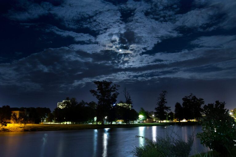
Photo: Tate Nations, CC BY 2.0
Photo: Ktkvtsh, CC BY 4.0

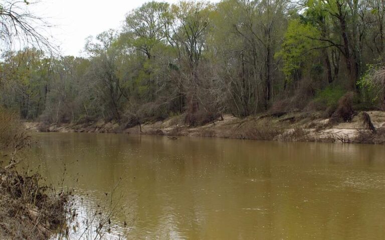
Photo: Richard apple, CC BY-SA 3.0

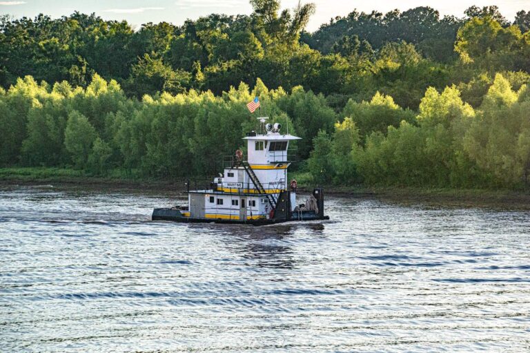
Photo: Michael Gaylard, CC BY 2.0
What visitors to Ross Barnett Reservoir ask before loading the boat
How large is Ross Barnett Reservoir on the agency pages?
From the pages: MDWFP's lake page states 33,000 acres.
Which county lists Ross Barnett Reservoir?
Short answer: The county list for Ross Barnett Reservoir reads: Rankin County.
Where is the put-in for Ross Barnett Reservoir?
Worth knowing: The ramp layer lists 18 ramps, including Tommy's Trading Post Fishing Area on Ross Barnett Reservoir. Open or closed status is not in the data.
How many fish can go home from Ross Barnett Reservoir?
From the pages: The Rule 1.4 statewide table applies; the lake page also prints 2 rows, copied on this page. A rule can change, so verify it first.
Which anglers need a license at Ross Barnett Reservoir?
Short answer: Prices on the MDWFP page: $25 resident all-game hunting and freshwater fishing, $68 nonresident freshwater fishing, with agent and process fees listed separately.
What store on the list lies nearest Ross Barnett Reservoir?
Worth knowing: Sunset Marina, about 3 miles away, is first on the list.
Which Mississippi town works as a base for Ross Barnett Reservoir?
From the pages: Census data put Gluckstadt nearest, roughly 9 miles off in a straight line.
Where else could I fish within a short drive of Ross Barnett Reservoir?
Short answer: Waters nearby with a page of their own: Wolf Lake, Bee Lake and Okatibbee Reservoir.
Which roads lead toward Ross Barnett Reservoir?
Worth knowing: The Directions button opens a map pinned at the coordinates on file for Ross Barnett Reservoir. Call ahead before driving in, because roads and gates change.
Which agency measures Ross Barnett Reservoir?
From the pages: Yes: the level band prints every reading with its agency and time, and only USGS numbers refresh when the page loads.
Which record entry points to Ross Barnett Reservoir?
Short answer: The list has a smallmouth buffalo of a printed size from Ross Barnett Reservoir.
What dates are on file for Ross Barnett Reservoir?
In practice: The tournament page linked above gathers dated events with each organizer and any posted results.
Check the rules, then head to Ross Barnett Reservoir
License prices and the statewide limits sit on the Mississippi license page.