Fishing in Oktibbeha County, Mississippi
County seat: Starkville. Census 2020 residents: 51,788.
- 1named waters
- 1ramp
 Angler pickPiscifun Viper X spinning reel50% OFFSale $39.99
Photo of Columbus: Lester Snapwell, CC BY 2.0
Fishing Oktibbeha County, Mississippi, in brief
County government for Oktibbeha County meets in Starkville; the 2020 count there was 51,788 people across the county. Bureau figures measure the county at 458 square miles of land and 3.7 square miles of water. Among the 1 water recorded here, Oktibbeha County Lake takes the most room.
MDWFP and MDMR map 1 boat ramp here, alongside 0 piers and fishing points other points.
U.S. Census Bureau, 2020 Census counts (TIGERweb) and the 2023 Gazetteer, read November 19, 2026. MDWFP Fishing Dashboard boat ramps layer (ArcGIS service), read November 19, 2026. Lanes, hours and fees are not published; the fee type is a label only.
A map of the fishing water inside Oktibbeha County
MDWFP Fishing Dashboard boat ramps layer (ArcGIS service), read November 19, 2026. Lanes, hours and fees are not published; the fee type is a label only. Water pins sit at the point MDWFP, MDMR or the USGS gives for each water.
Choosing among the lakes in Oktibbeha County
Measured from Starkville, these are the nearest pages past the Oktibbeha County line.
| Water | From Starkville | Size | Access points | Kind | Operator or MDWFP label |
|---|---|---|---|---|---|
| Aberdeen Lake | 32 miles out, heading northeast | 4,121 acres | 4 | lake | U.S. Army Corps of Engineers |
| Tombigbee River | 42 miles out, heading northeast | no size printed | 6 | river reach | not printed |
| Town Creek (Lee County) | 54 miles out, heading north | no size printed | 0 | creek | not printed |
| Grenada Reservoir | 58 miles out, heading northwest | an NHD outline near 16,988 acres | 15 | reservoir | U.S. Army Corps of Engineers |
Acres as stated on the MDWFP lake page for this water (MDWFP lake page), read November 19, 2026. The MDWFP mapped polygon and the USGS outline give different figures, so each is labeled with its source. Waters with no MDWFP acreage show the layer or mapped outline figure instead, never merged. MDWFP record for this water (MDWFP source), read November 19, 2026.
Boat launches inside Oktibbeha County, Mississippi
- Small Lake Ramp on Oktibbeha County Lakeboat ramp; Oktibbeha County
MDWFP Fishing Dashboard boat ramps layer (ArcGIS service), read November 19, 2026. Lanes, hours and fees are not published; the fee type is a label only.
Row by row: Oktibbeha County waters without their own page
Still water: lakes, ponds and oxbows in Oktibbeha County
| Water | Kind | Size | MDWFP label | Access | Map pin |
|---|---|---|---|---|---|
| Oktibbeha County Lake | lake | an NHD outline near 324 acres | not printed | 1 | 33.5088, -88.9426 |
MDWFP record for this water (MDWFP source), read November 19, 2026. Outline area from the USGS National Hydrography Dataset polygon (NHD service; mapped area, not a surveyed surface-acre figure), read November 19, 2026.
Record-book fish from around Oktibbeha County
| Species | Weight as printed | Water | Date | Division |
|---|---|---|---|---|
| Bowfin | 13 lbs 10 oz | Tombigbee River | 3/5/1994 | Trophy |
| White Crappie | 2.64 lbs | Grenada Reservoir | 3/20/2024 | Fly Fishing |
| Shortnose Gar | 3.28 lbs | Yalobusha River | 7/29/2014 | Fly Fishing |
| Channel Catfish | 51 lbs 12 oz | Lake Tom Bailey | 5/31/1997 | Rod and Reel |
Freshwater records from MDWFP (mdwfp.com) and saltwater records from MDMR (dmr.ms.gov), read November 19, 2026. Angler names are not printed.
Buying tackle inside Oktibbeha County
Mississippi: restocking line and hooks near Oktibbeha County
- Walmart Supercenter (Starkville)bait and tackle shop, Starkville
Yellow Pages and operator listings (city of business), read November 19, 2026. Guides appear as businesses; no license or permit status is implied.
Grouped near Oktibbeha County on the map
Lodging towns in Oktibbeha County
- Starkville2020 count 24,360
- Mississippi State2020 count 4,968
Counties next to Oktibbeha County, Mississippi
- Clay County17 miles out, heading north
- Choctaw County22 miles out, heading west
- Lowndes County25 miles out, heading east
- Winston County26 miles out, heading south
The grouping behind Oktibbeha County listings
Oktibbeha County is in hills here, a map grouping with no link to MDWFP regions.
Fresh pages for Oktibbeha County
Mississippi fishing this week
Mississippi stocking history
Mississippi fish advisories
Piscifun hooks, extra line and pliers for an afternoon at Oktibbeha County


Piscifun and Amazon links are affiliate links; the site earns a commission on qualifying purchases.
Oxbows, creeks and pine-ringed lakes around Oktibbeha County, pictured
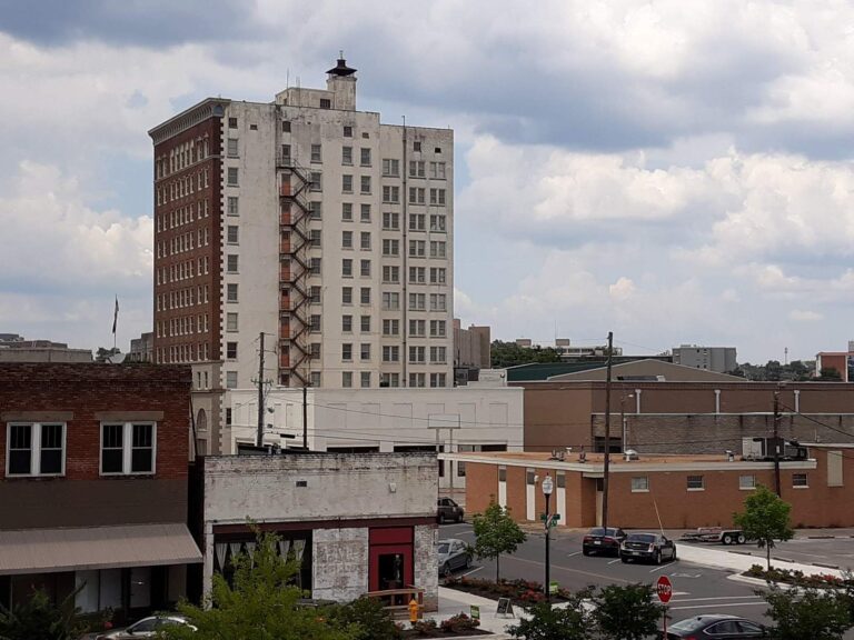
Photo: James Case, CC BY 2.0
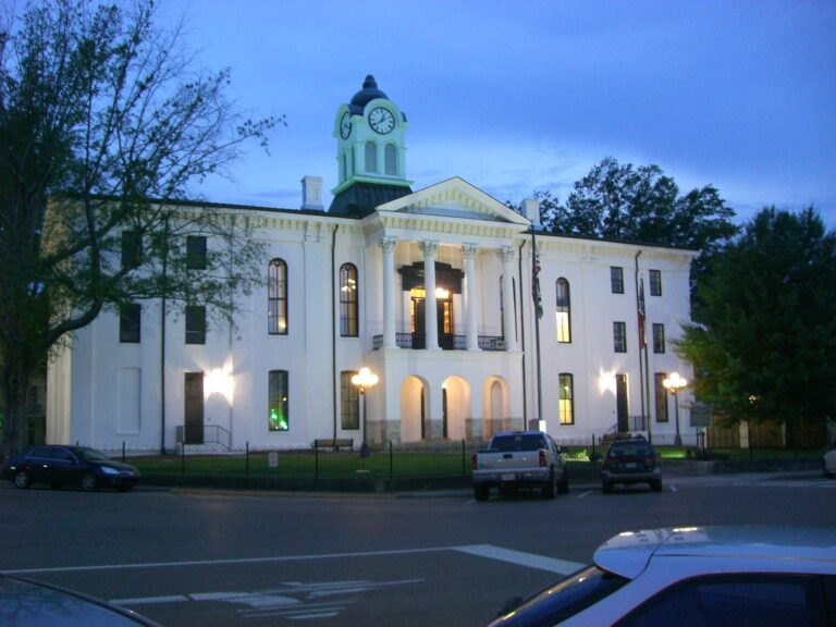
Photo: Kevin, CC BY 2.0
What to know before wetting a line in Oktibbeha County
How many ramps do the layers map in Oktibbeha County?
Layer count for the county: 1 ramp.
Which water has the biggest size figure in Oktibbeha County?
Oktibbeha County Lake comes out on top at an NHD outline near 324 acres.
Where do I find fish information for Oktibbeha County?
MDWFP prints no species list for the county waters; the state record table and the species pages hold the fish information on this site.
Is there a marina or live-bait counter listed for Oktibbeha County?
The county has 1, Walmart Supercenter (Starkville) first.
Which town runs the business of Oktibbeha County?
Starkville.
Which license should I carry in Oktibbeha County?
MDWFP lists the resident all-game hunting and freshwater fishing license at $25 and the nonresident freshwater license at $68, with agent and process fees on top.
Which neighbors ring Oktibbeha County most tightly?
Clay County, Choctaw County and Lowndes County lie closest.
How many fish may I keep from water in Oktibbeha County?
Limits come from the Rule 1.4 statewide rows unless the water has a row of its own, and a water-specific row replaces the statewide limit for the fish it names; each lake and river page on this site prints its rows. Read on Nov. 19, 2026: MDWFP Rule 1.4 and the public water body pages are the only sources here, and any 2027 rule, fee or season is left out until MDWFP prints it.
Is each named water of Oktibbeha County either linked or given a row?
Each of the 1 water appears here as a page link or a coordinate row.
Hitch the boat for red-clay and cypress water in Oktibbeha County
Match the water to its rule row before filling a cooler.