Kenduskeag Stream Fishing
A stream in Penobscot County, Maine.
 Pick for troutPiscifun Carbon X ultralight spinning reel28% OFFSale $57.99
Photo of Kennebec River: Paul VanDerWerf, CC BY 2.0
The Kenduskeag Stream by the agency numbers
The USGS hydrography layer maps Kenduskeag Stream, a stream of Penobscot County, with 39.9 miles of flowline in the state. The reach touches Kenduskeag, Corinth, Garland, Bangor and Glenburn. Closest town: Corinth, 2 miles away.
There are 1 launch in the boat-launch layer. The USGS network lists 1 on it.
USGS National Hydrography Dataset record for Kenduskeag Stream (NHD service), read November 18, 2026. Length is the NHD flowline length inside Maine, not a fishable length.
U.S. Census Bureau, 2020 Census counts (TIGERweb) and the 2023 Gazetteer, read November 18, 2026.
In Maine, streamflow on the Kenduskeag Stream
USGS has no current reading for these gauges.
Readings are live USGS values for the gauge location, not the whole river.
USGS Water Data for the Nation, live through the site, retrieved on page view.
Trucked fish at Kenduskeag Stream: the report rows
For Kenduskeag Stream the reports on file show 2 dated events. Treat the 2026 entries as preliminary: the report was read as of Nov. 17, 2026.
| Date | Fish | Number printed | Size | Status |
|---|---|---|---|---|
| May 13, 2026 | Brook trout | 1,000 | 10 in. | stocked, per the 2026 year-to-date report (preliminary receipt data) |
| April 23, 2026 | Brook trout | 1,000 | 10 in. | stocked, per the 2026 year-to-date report (preliminary receipt data) |
The count by source: 2 rows from the 2026 year-to-date report.
Where a cell is blank, the report gave no figure for it.
MDIFW 2026 year-to-date stocking report (MDIFW report), preliminary receipt data as of Nov. 17, 2026, read November 18, 2026. Dates, sizes and counts are as printed; the report may be corrected after review.
 For the trout herePiscifun Carbon XT ultralight spinning reel25% OFFSale $59.99
Where to launch at Kenduskeag Stream
- Kenduskeag Stream (Kenduskeag) Fishing Areacarry-in access
The launch layer prints no lanes, hours or fees, so none appear here; ask the landowner or town before towing a boat.
Maine GeoLibrary boat launches layer (ArcGIS service), read November 18, 2026.
General limits in force at Kenduskeag Stream
For Kenduskeag Stream the general limits below apply as far as the pages read show. Rules that belong to one lake or stream, including closures, ice seasons, bait limits and length changes, were left unread; the special fishing laws page for the water settles them.
| Fish as printed | Water type | Daily bag as printed | Possession | Note |
|---|---|---|---|---|
| Brook trout (includes splake, Arctic charr) | lakes ponds | 5 fish total; only 2 from South Zone lakes/ponds | 6 in minimum | |
| Brook trout (includes splake, Arctic charr) | rivers streams brooks | 5 | 6 in minimum | |
| Brown trout | lakes ponds | 2 | 14 in minimum | |
| Brown trout | rivers streams brooks | 2 | 6 in minimum, 25 in maximum | |
| Rainbow trout | lakes ponds | 2 | 12 in minimum | |
| Rainbow trout | rivers streams brooks | 2 | 6 in minimum | |
| Landlocked salmon | lakes ponds | 2 | 14 in minimum | |
| Landlocked salmon | rivers streams brooks | 2 | 14 in minimum, 25 in maximum | Page: Aug 16-Sep 30 river stream limits are one landlocked salmon and one brook trout daily. |
| Togue (lake trout) | lakes ponds | 2 | 18 in minimum | |
| Togue (lake trout) | rivers streams brooks | 2 | 18 in minimum | |
| Bass (largemouth and smallmouth) | all | North Zone: unlimited; South Zone: 2, only 1 may exceed 14 in | North: no length limit; South: no minimum | |
| Whitefish | lakes ponds | 3 | none |
MDIFW statewide law pages, read Nov. 18, 2026, are the only source for these rules; they show no revision date and refer to the 2026 law book that ends Dec. 31, 2026, so 2027 rules and fees are left out.
MDIFW sets the season license at $30 for residents and $83 for nonresidents, agent fees not included, and anglers from age 16 need one for inland waters.
MDIFW fishing law pages for 2026 (maine.gov/ifw), read November 18, 2026. The pages carry no revision date and refer to the 2026 fishing law book, which is not valid after Dec. 31, 2026.
License fees from the MDIFW license requirements page (maine.gov/ifw), read November 18, 2026.
Table-fish advice for Kenduskeag Stream
The MDIFW advisory page lists Kenduskeag Stream, Robyville bridge to Penobscot River for this water (PFAS advisory): 1 meal/month of smallmouth bass.
Sharing the same Maine watershed as Kenduskeag Stream
Brooks close to the Kenduskeag Stream
- Souadabscook Stream14 miles south
- Piscataquis River18 miles northwest
- Kennebec River42 miles west
- Mattawamkeag River58 miles northeast
- Sandy River59 miles southwest
Tackle stops worth a detour before Kenduskeag Stream
- Dick's Sporting Goods (Bangor)bait and tackle shop, Bangor, 15 miles
- Eddie's Flies & Tacklebait and tackle shop, Bangor, 15 miles
- Hamlin's Marinamarina, Hampden, 16 miles
- Merrill's Marinamarina, Dover Foxcroft, 24 miles
- Stockton Harbor Marinamarina, Stockton Springs, 35 miles
- Albion Bait Shopbait and tackle shop, Albion, 36 miles
In Maine, hiring a guide for Kenduskeag Stream
- Salmon Pro Charterscharter, Hampden
- Bub and Dug's Guide Servicefishing guide, Millinocket
- Fish Stalker Guide Servicefishing guide, Brewer
- Maine Wilderness Fishingfishing guide, Stetson
- Tracewski Fishingfishing guide, Old Town
- Twin Maple Outdoorsfishing guide, Bradford
- Wild Ferns Guide Servicefishing guide, Howland
- J.R. Mabee (guide service)fly fishing guide, Bangor
Maine towns within a short drive of Kenduskeag Stream
- Corinth2 miles
- Kenduskeag4 miles
- Levant6 miles
Maine county pages that cover Kenduskeag Stream
- Penobscot Countyseat: Bangor
Piscifun tackle picked for a spruce-shore morning at Kenduskeag Stream


Piscifun and Amazon links are affiliate links; the site earns a commission on qualifying purchases.
Camp docks and tidal flats by Kenduskeag Stream through a lens
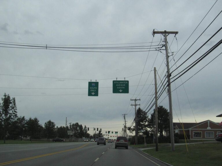
Photo: Doug Kerr, CC BY-SA 2.0

Photo: Paul VanDerWerf, CC BY 2.0
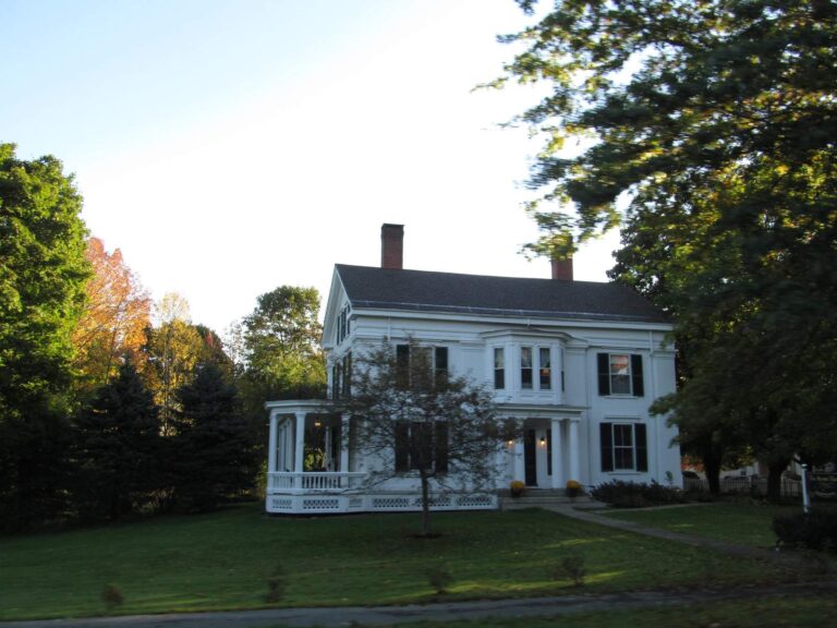
Photo: Doug Kerr, CC BY-SA 2.0
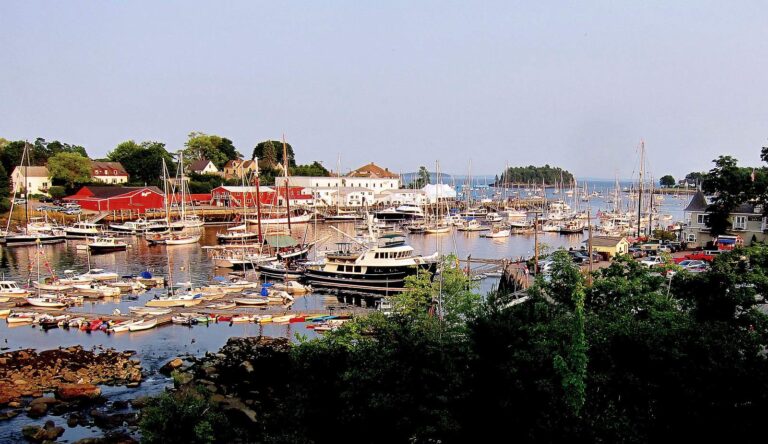
Photo: Librarygroover, CC BY 2.0
Frequent asks about Kenduskeag Stream from Maine anglers
How long is the flowline of the Kenduskeag Stream?
Worth knowing: NHD maps 39.9 miles of flowline inside Maine; that is not a fishable length.
Whereabouts in Maine is the Kenduskeag Stream?
From the pages: Kenduskeag Stream runs through Penobscot County, by the towns of Kenduskeag, Corinth, Garland and Bangor.
Can I put a boat in on the Kenduskeag Stream?
Short answer: The state list shows 1 launch, Kenduskeag Stream (Kenduskeag) Fishing Area included. It prints no lanes, hours or fees.
What bag limits apply on the Kenduskeag Stream?
Worth knowing: The statewide limits apply as printed; no water-specific special law was read. River and stream limits differ from lake limits, so read the table and the current law book.
What should I buy before heading to the Kenduskeag Stream?
From the pages: MDIFW sets the season license at $30 for residents and $83 for nonresidents, agent fees not included, and anglers from age 16 need one for inland waters.
Where is the closest bait and tackle shop to the Kenduskeag Stream?
Short answer: Dick's Sporting Goods (Bangor), about 15 miles away, is first on the list.
Which Census town lies closest to the Kenduskeag Stream?
Worth knowing: Corinth is the closest town on the Census list, about 2 miles away by straight line.
Are there more waters near the Kenduskeag Stream?
From the pages: Closest with their own page: Souadabscook Stream, Piscataquis River and Kennebec River.
Which route do I follow to reach the Kenduskeag Stream?
Short answer: Use the Directions button on the page: it opens a map at the point the state data places the Kenduskeag Stream. Gates, roads and landowners change, so verify before heading out.
Do the reports show stocking at the Kenduskeag Stream?
Worth knowing: The newest row is dated May 13, 2026 (Brook trout). The 2026 figures are preliminary and dated Nov. 17, 2026.
Does the Kenduskeag Stream have a USGS gauge?
From the pages: Yes: USGS gauges report for it, and the flow block loads live values with their times.
What does the advisory say about the Kenduskeag Stream?
Quick check: The MDIFW advisory page lists Kenduskeag Stream, Robyville bridge to Penobscot River for this water (PFAS advisory): 1 meal/month of smallmouth bass.
Stage the gear for the Kenduskeag Stream
One page holds the fee table and the limit rows.