Fishing in Bath County, Kentucky
County seat: Owingsville. Census 2020 residents: 12,750.
- 2lake pages
- 11launch sites
- 2river pages
 Pick for black crappiePiscifun Carbon X ultralight spinning reel28% OFFSale $57.99
Photo of Licking River: Ken Lund, CC BY-SA 2.0
Planning a first outing in Bath County
County business for Bath County happens in Owingsville; the 2020 head count was 12,750. Census mapping gives it 278 square miles of land and 6 of water. Cave Run Lake heads a list of 2 lakes in the county that have their own page. Dam outflow fishing here centers on Cave Run Lake Tailwater.
The KDFWR access map holds 11 launch sites plus 0 pier or bank sites here. For current, start with Licking River and Slate Creek. The Blue Water Trail list includes Licking River and Slate Creek here.
U.S. Census Bureau, 2020 Census counts (TIGERweb) and the 2023 Gazetteer, read November 10, 2026. KDFWR Fishing Access Sites in Kentucky layer (ArcGIS service), read November 10, 2026.
KDFWR launch and lake pins across Bath County
KDFWR Fishing Access Sites in Kentucky layer (ArcGIS service), read November 10, 2026. Lake points are the mean of each water’s KDFWR access sites.
Lakes scattered across Bath County
| Lake | Size | KDFWR ramps | Kind | Fish in the KDFWR table |
|---|---|---|---|---|
| Cave Run Lake | 7,880 acres | 16 | Corps reservoir | smallmouth bass, black crappie, spotted bass |
| Clear Creek Lake | 39 acres | 1 | lake | none in the table |
Short drives out of Owingsville reach these lakes beyond the Bath County boundary.
| Lake | From Owingsville | Size | KDFWR ramps | Kind | Fish in the KDFWR table |
|---|---|---|---|---|---|
| Easy Walker Park Pond | 9 miles southwest | 1.6 acres | 0 | FINs lake | largemouth bass, rainbow trout, bluegill |
| Rebel Trace Lake | 11 miles southeast | 21 acres | 1 | lake | none in the table |
| Eagle Lake | 18 miles east | 18 acres | 0 | lake | rainbow trout |
| Fox Valley Lake | 19 miles northeast | 71 acres | 1 | lake | none in the table |
| Flemingsburg Old Reservoir | 20 miles north | 11 acres | 0 | FINs lake | largemouth bass, rainbow trout, bluegill |
| Flemingsburg New Reservoir | 20 miles north | 47 acres | 0 | lake | none in the table |
Acreage as KDFWR notes it on the this water waterbody page (KDFWR), read November 10, 2026. Waters with no KDFWR acre note print their mapped outline instead. KDFWR fishing waterbody list (app.fw.ky.gov), read November 10, 2026.
 For the black crappie herePiscifun Carbon XT ultralight spinning reel25% OFFSale $59.99
The Bath County species count from KDFWR tables
Bars count lake pages within 40 miles of Owingsville whose KDFWR rule or stocking table names the fish; largemouth bass tops the tally.
KDFWR Special Fishing Regulations tables and guide stocking tables, counted per lake page within 40 miles; a regulation list, not a catch survey. KDFWR fishing waterbody list (app.fw.ky.gov), read November 10, 2026.
More named lakes on the Bath County map
The KDFWR maps name 3 more lakes inside Bath County; they stay on this list for now.
| Water | Size | Listed by |
|---|---|---|
| Snedegar Pond | about 6 acres of mapped outline | Named Lakes layer |
| Hawkins Pond | about 5.7 acres of mapped outline | Named Lakes layer |
| Spring Grove Lakes | about 3 acres of mapped outline | Named Lakes layer |
Outline area from the KDFWR Named Lakes in Kentucky layer (ArcGIS service; GIS polygon area, not a KDFWR surface-acre figure), read November 10, 2026. KDFWR fishing waterbody list (app.fw.ky.gov), read November 10, 2026.
Rivers to float in Bath County
- Licking RiverBlue Water Trail, 15 KDFWR access sites, 7 USGS gauges
- Slate CreekBlue Water Trail, 5 KDFWR access sites, 1 USGS gauge
Flow gauges around Bath County
| USGS gauge | Latest reading | Time (ET) |
|---|---|---|
| Licking River At Farmers, Ky | 800 cfs, 13.74 ft gage height | Sep 26 11:45 pm Not updated since Sep 26, 2009. |
US Geological Survey provisional data, retrieved Nov 12, 2026 6:33 pm ET. Provisional readings can be revised.
KDFWR fishing waterbody list (app.fw.ky.gov), read November 10, 2026. USGS Water Data for the Nation, live through the site, retrieved on page view.
Tailwater fishing tied to Bath County
- Cave Run Lake Tailwaterbelow Cave Run Lake
Floating Bath County on a KDFWR trail
- Licking River25.4 miles as KDFWR lists them
- Slate Creek36.1 miles as KDFWR lists them
KDFWR fishing waterbody list (app.fw.ky.gov), read November 10, 2026. KDFWR Blue Water Trails layer (ArcGIS service; miles as KDFWR lists them), read November 10, 2026.
Trailer launches dotting Bath County
- Cave Run Lake tailwater Boat RampCave Run Lake Tailwater, boat ramp, paved, single lane
- Clear Creek Lake AccessClear Creek Lake, boat ramp, paved, single lane
- Forge Mill Carry-Down Launch on Slate CreekSlate Creek, carry-down launch
- Johnson Ford-Bath Boat Ramp on Licking RiverLicking River, boat ramp, unpaved, single lane
- Lions Club Carry-Down Launch on Slate CreekSlate Creek, carry-down launch
- Little Egypt Ford Carry-Down Launch on Slate CreekSlate Creek, carry-down launch
- Moore's Ferry Boat Ramp on Licking RiverLicking River, boat ramp, unpaved, single lane
- Old Slate Furnace Carry-Down LaunchSlate Creek, carry-down launch
- Stoney Cove Boat Ramp on Cave Run LakeCave Run Lake, boat ramp, paved, single lane
- Wyoming Ford Carry-Down Launch on Licking RiverLicking River, carry-down launch
- Zilpo Boat Ramp on Cave Run LakeCave Run Lake, boat ramp, paved, multiple lanes, courtesy dock
KDFWR Fishing Access Sites in Kentucky layer (ArcGIS service), read November 10, 2026. KDFWR publishes fees as yes or no and lanes as single or multiple.
How the Bath County reservoirs were reading
Cave Run Lake
USACE Louisville District reading at Cave Run Lake for Cave Run Lake, November 10, 2026 20:05 UTC.
USACE Louisville District via USACE Access to Water (location page), latest values at retrieval November 10, 2026. Provisional.
Statewide creel rules on Bath County water
In Bath County, begin with these statewide limits; a special-regulation water replaces them where listed. Budget $24.31 for the resident annual license or $58.14 for the out-of-state version.
| Species | Daily | Possession | Minimum size |
|---|---|---|---|
| Largemouth Bass | 6* | 12* | 12" |
| Smallmouth Bass | 6* | 12* | 12" |
| Kentucky (Spotted) Bass | 6* | 12* | none |
| Coosa Bass | 6* | 12* | none |
| Rock Bass | 15 | 30 | none |
| Redear Sunfish | 20 | 40 | none |
| Walleye, Sauger, and their Hybrids | 6* | 12* | 14" |
| Muskellunge | 1 | 2 | 30" |
| Chain Pickerel | 5 | 10 | none |
| White & Hybrid Striped Bass | 15** | 30** | none** |
| Striped Bass | 5 | 10 | 15" |
| Yellow Bass | none | none | none |
Exceptions printed for Bath County waters
- Cave Run LakeSmallmouth Bass: Must be 18 inches or over, Statewide creel limits apply
- Cave Run Lake TailwaterRainbow Trout: Statewide Regulations Apply
Kentucky special-regulation waters
2026 Kentucky Fishing & Boating Guide (Regulations Summary March 2026 to February 2027, updated September 2026; KDFWR PDF), read November 10, 2026. License prices as printed in the 2026 Kentucky Fishing & Boating Guide, p. 2 (2026 CPI-adjusted fees; KDFWR PDF), read November 10, 2026.
Record-list catches from water by Bath County
| Species | Weight as listed | Water | Date |
|---|---|---|---|
| Muskellunge | 47.00 lbs | Cave Run Lake | 11/02/2008 |
Kentucky state record fish as listed by KDFWR (record list), read November 10, 2026.
Organized events fishing Bath County lakes
Trails and clubs list 2 entries on Bath County water, 1 upcoming.
| Date | Event | Water | Organizer |
|---|---|---|---|
| April 24, 2027 | KHSAA Reg 4 | Cave Run Lake | Kentucky High School Athletic Association (KHSAA), run with SAF and MLF |
| April 25, 2026 | PMTT VitaWorks Spring Shootout, Cave Run Lake (2026) (result) | Cave Run Lake | Professional Musky Tournament Trail (PMTT) |
Organizer schedule and results pages, checked November 2026.
Gear stores in Bath County
Bath County marinas and bait shops
- Outpost R V Park & Campgroundbait and tackle shop, Salt Lick
Yellow Pages and Kentucky tourism listings (city of business), read November 10, 2026.
In the same corner as Bath County
Town pages within Bath County
- Owingsville2020 count 1,593
Adjoining Bath County
- Montgomery County12 miles southwest
- Fleming County15 miles north
- Menifee County17 miles southeast
- Rowan County17 miles east
Piscifun tackle set aside for a day on Bath County


Piscifun and Amazon links are affiliate links; the site earns a commission on qualifying purchases.
Bluegrass and coalfield water near Bath County, on film
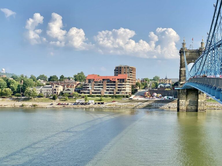
Photo: Warren LeMay, CC BY-SA 2.0
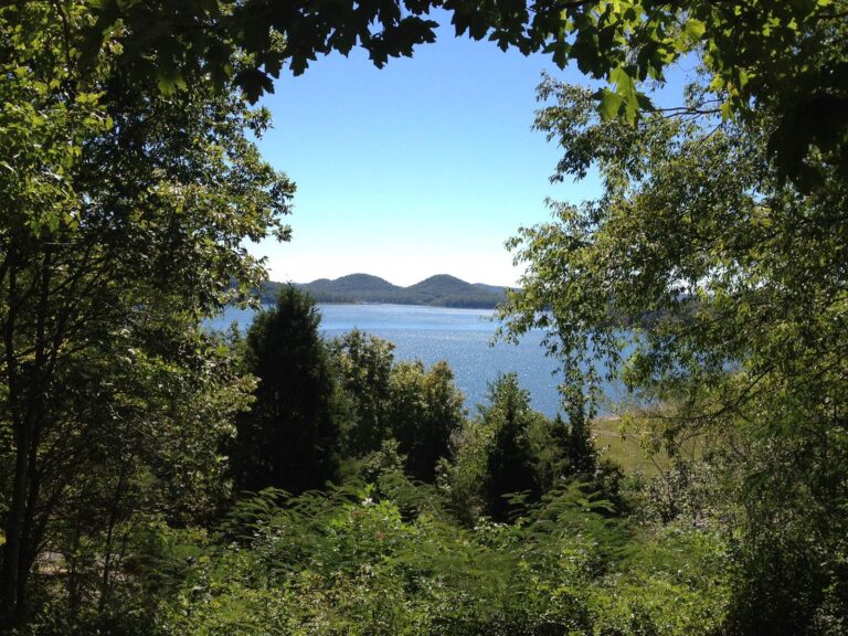
Photo: LouisvilleUSACE, CC BY 2.0
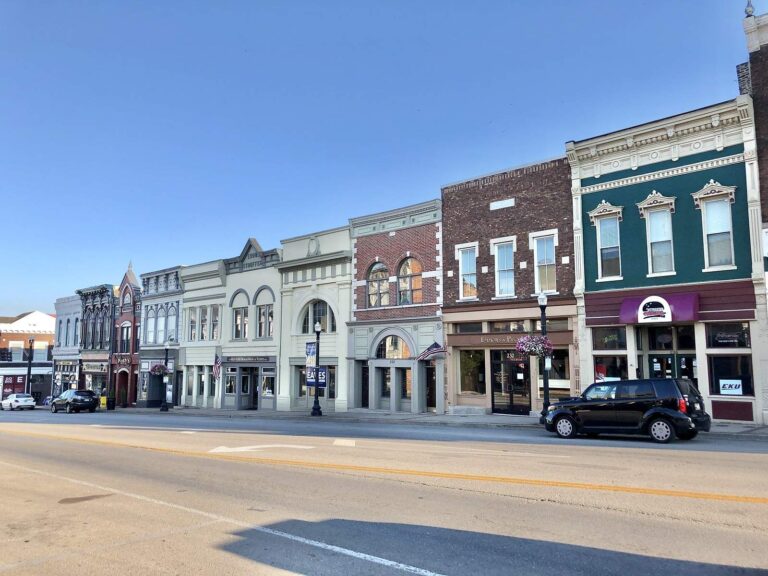
Photo: Warren LeMay, CC0 1.0
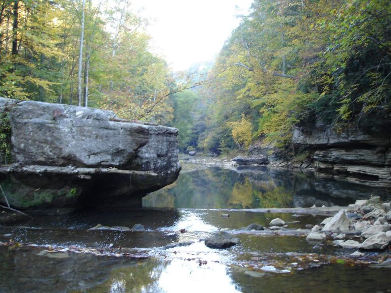
Photo: hspauldi, CC BY-SA 2.0
Casting around Bath County: what folks ask
How many ramps does KDFWR list for Bath County?
There are 11 launch sites on KDFWR's map.
Which Bath County lake is the biggest one on this site?
Cave Run Lake: 7,880 acres.
What species have special rules around Bath County?
KDFWR tables on lakes within 40 miles name largemouth bass most often, then rainbow trout, redear sunfish and bluegill.
Where can I buy bait in Bath County, Kentucky?
Start with Outpost R V Park & Campground; the county has 1.
What town serves as seat for Bath County?
It is Owingsville.
What KDFWR license do Bath County anglers buy?
An annual Kentucky license runs $24.31 for residents; nonresidents are charged $58.14.
What counties surround Bath County?
Begin with Montgomery County, Fleming County and Menifee County.
What crappie rule covers Bath County?
Statewide daily limit 20*, possession 40*, minimum size none. Special-regulation waters can differ.
Which Bath County lakes have their own limits?
2 waters with a page here carry their own rules, beginning with Cave Run Lake.
Which Kentucky trails fish Bath County lakes?
2 organizer entries on file; the next is KHSAA Reg 4 on Cave Run Lake, April 24, 2027.
What Kentucky record fish came out of Bath County?
Muskellunge, 47.00 lbs, from Cave Run Lake (11/02/2008).
Which Bath County water runs below a dam?
Cave Run Lake Tailwater, each with its own page and rules.
Set up a fishing weekend in Bath County
River pages list KDFWR access sites and live USGS flow.