Kentucky Rivers and Creeks
60 Kentucky rivers, creeks and forks with KDFWR access sites, USGS flow, special regulations, Blue Water Trails and trout stocking.
 Pick for troutPiscifun Carbon X ultralight spinning reel28% OFFSale $57.99
Photo of Cumberland River: Doug Kerr, CC BY-SA 2.0
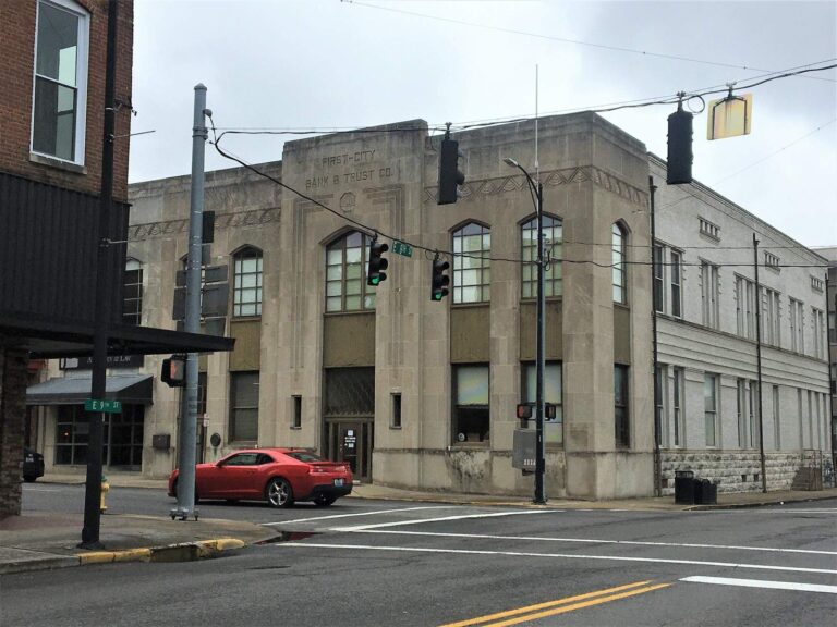
Photo of Hopkinsville: David Wilson, CC BY 2.0
Kentucky rivers, alphabetical
B
- Barren RiverAllen County and 2 other counties
- Beech ForkPowell County
- Buck CreekPulaski County
C
- Casey CreekTrigg County
- Clarks RiverMarshall and McCracken counties
- Clear CreekShelby County
- Craney CreekRowan County
- Cumberland RiverBell County and 3 other counties
D
- Drakes CreekSimpson and Warren counties
E
- Eagle CreekOwen and Scott counties
- East Fork Indian CreekMenifee County
- East Fork Little Sandy RiverBoyd County
- Elkhorn CreekFranklin County
F
- Floyd's ForkJefferson County
G
- Gasper RiverWarren County
- Goose CreekClay County
- Green River (Lower)Butler County and 6 other counties
- Green River (Upper)Adair County and 5 other counties
- Gunpowder CreekBoone County
H
- Hatchery CreekRussell County
K
- Kentucky River (Lower)Anderson County and 10 other counties
- Kentucky River (Upper)Clark County and 2 other counties
- Kinniconick CreekLewis County
L
- Laurel CreekElliott County
- Levisa ForkPike County
- Levisa Fork of Big Sandy RiverFloyd County and 3 other counties
- Licking RiverBath County and 6 other counties
- Little RiverTrigg County
- Little Sandy RiverCarter County and 2 other counties
- Little South Fork of Cumberland RiverWayne County
M
- Middle Fork Rockcastle RiverJackson County
- Mississippi RiverBallard County and 3 other counties
N
- North Fork Kentucky RiverBreathitt County and 3 other counties
- North Fork Licking RiverMorgan County
O
- Ohio River (Above Cincinnati)Bracken County and 2 other counties
- Ohio River (Below Cincinnati)Boone County and 2 other counties
- Ohio River (Central)Breckinridge County and 5 other counties
- Ohio River (East)Boyd County and 2 other counties
- Ohio River (Louisville)Hardin County and 3 other counties
- Ohio River (West)Ballard County and 4 other counties
- Otter Creek Outdoor Recreation AreaMeade County
R
- Red RiverMenifee and Wolfe counties
- Rockcastle RiverLaurel and Rockcastle counties
- Rolling Fork RiverMarion and Nelson counties
- Rough RiverOhio County
- Russell ForkPike County
S
- Salt RiverAnderson County and 3 other counties
- Shillalah CreekBell County
- Slate CreekBath and Montgomery counties
- South Fork Kentucky RiverClay and Owsley counties
- South Fork Licking RiverHarrison and Pendleton counties
- Station Camp CreekEstill County
- Stoner CreekBourbon County
- Sulphur Spring CreekSimpson County
- Swift Camp CreekWolfe County
T
- Tennessee RiverLivingston and Marshall counties
- Tradewater RiverHopkins County and 2 other counties
- Triplett CreekRowan County
- Tug Fork of Big Sandy RiverMartin and Pike counties
- Tygarts CreekCarter County
Bluegrass rivers list: asked and answered
How many Kentucky streams have a page?
60 rivers, creeks and forks that KDFWR lists as fishing waterbodies with two or more facts of their own.
How many list KDFWR access?
60 stream pages list ramps, carry-down launches or bank sites from the KDFWR access layer.
How many show live flow?
38 stream pages carry one or more live USGS gauges.
Which streams carry their own rules?
33 stream pages quote a KDFWR special regulation, a guide entry or a 301 KAR 1:201 exception.
Why is the Ohio River split into several pages?
KDFWR keeps a separate waterbody page for each reach, so 10 reach pages follow the KDFWR split.
Where are the paddling routes?
14 stream pages carry a KDFWR Blue Water Trail with the miles KDFWR lists.
Which streams get trout?
15 stream pages carry a row from the guide’s trout stream table; the tailwaters below the dams have pages of their own.
Where are the mileages for each Kentucky stream?
Only Blue Water Trail miles that KDFWR lists are printed; no other stream length was measured, so none is guessed.
 For the trout herePiscifun Carbon XT ultralight spinning reel25% OFFSale $59.99
KDFWR rules and directories beside the Kentucky rivers list
- Every Kentucky water, A to Zlakes, rivers, tailwaters, counties, towns and fish in one list
- Kentucky license prices and statewide limits2026 guide fees, the 26-row creel table, possession and culling
- Special-regulation watersall 92 guide entries plus the 301 KAR 1:201 exceptions
- Trout rules and stocking tablespermit reach, catch-and-release streams, tailwater totals
- Border-water agreementsOhio River, Kentucky Lake, Dale Hollow, Big Sandy; Barkley excluded
- Trout fishing in Kentuckytailwaters below the Corps dams, stocked creeks and lakes
- Fishing in Neighborhoods lakescity and park lakes stocked with catfish and rainbows
- Blue Water TrailsKDFWR paddling routes with their listed miles
- Free Fishing Daysthe June weekend when license and permits are waived
- Kentucky state record fishweights, waters and dates from the KDFWR list
- Trout stocking schedulethe November 2026 rows and the FINs table
- Lake levels and river flowsdated Corps dam readings and live USGS gauges
- Boat rampsKDFWR-listed launches grouped by county
- Shore fishingKDFWR piers and bank access
- Bait and tackle shopstackle counters and marinas in four parts of the state
- Fishing guideslisted guide services with towns and phones
- Tournamentsupcoming events and posted winners
- Protected fishfish and lampreys with a Kentucky or federal status