Iowa Rivers and Streams
105 Iowa rivers, trout streams and Mississippi River pools with matched USGS gauges or dated trout stocking, plus access points and booklet rules.
 Pick for troutPiscifun Carbon X ultralight spinning reel28% OFFSale $57.99
Photo of Big Sioux River: Denise Krebs, CC BY 2.0

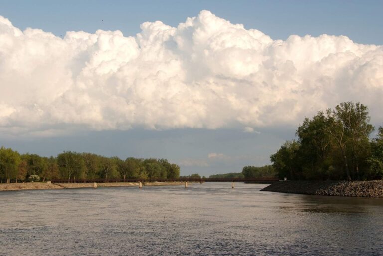
Photo of Red Rock Reservoir: Carl Wycoff, CC BY 2.0
Iowa rivers, A through Z
B
- Baileys FordDelaware County
- Bankston CreekDubuque County
- Big Mill CreekJackson County
- Big Sioux RiverLyon County and 3 other counties
- Bigalk CreekHoward and Winneshiek counties
- Bloody Run CreekClayton County
- Bohemian CreekWinneshiek County
- Boone RiverHamilton County and 3 other counties
- Boyer River (Dunlap to Missouri River)Harrison and Pottawattamie counties
- Buck CreekClayton County
C
- Cedar River (above Nashua)Chickasaw County and 2 other counties
- Cedar River (Cedar Rapids to Moscow)Cedar County and 3 other counties
- Cedar River (La Porte City to Cedar Rapids)Benton County and 3 other counties
- Cedar River (Moscow to Columbus Junction)Louisa and Muscatine counties
- Cedar River (Nashua to La Porte City)Black Hawk County and 2 other counties
- Chariton River (above Rathbun Lake)Clarke County and 3 other counties
- Chariton River (below Rathbun Lake)Appanoose County
- Coldwater CreekWinneshiek County
- Coon CreekWinneshiek County
D
- Des Moines River (Humboldt to Stratford)Hamilton County and 2 other counties
- Des Moines River (Ottumwa Dam to Farmington)Davis County and 2 other counties
- Des Moines River (Red Rock to Ottumwa Dam)Mahaska County and 3 other counties
- Des Moines River (Saylorville to Red Rock)Marion County and 2 other counties
- Des Moines River (Stratford to Saylorville Lake)Boone County and 3 other counties
E
- East Fork Des Moines (Algona to Humboldt)Humboldt and Kossuth counties
- East Fork Des Moines (state line to Algona)Emmet and Kossuth counties
- East Nishnabotna RiverAudubon County and 6 other counties
- East Nodaway RiverAdair County and 3 other counties
- English RiverWashington County
F
- Fountain SpringsDelaware County
G
- Glovers CreekFayette County
- Grannis CreekFayette County
H
- Hickory CreekAllamakee County
I
- Iowa River (above Iowa Falls)Franklin County and 2 other counties
- Iowa River (Columbus Junction to Mississippi R)Louisa County
- Iowa River (Coralville Lake to River Junction)Johnson and Washington counties
- Iowa River (Iowa Falls to Marshalltown)Hardin and Marshall counties
- Iowa River (Marshalltown to Coralville Lake)Benton County and 4 other counties
- Iowa River (River Junction to Columbus Junction)Johnson County and 2 other counties
J
- Joy SpringsClayton County
L
- Little Mill CreekJackson County
- Little PaintAllamakee County
- Little Sioux River (Correctionville to Missouri R)Harrison County and 2 other counties
- Little Sioux River (Linn Grove to Correctionville)Buena Vista County and 5 other counties
- Little Sioux River (state line to Linn Grove)Buena Vista County and 2 other counties
- Little Turkey RiverDelaware County
M
- Maquoketa River (above Monticello)Clayton County and 3 other counties
- Maquoketa River (below Monticello)Jackson and Jones counties
- Maquoketa River (trout portion)Clayton and Delaware counties
- Middle Raccoon River (above Redfield confluence)Carroll County and 2 other counties
- Middle RiverAdair County and 3 other counties
- Mill CreekJackson County
- Mink CreekFayette County
- Missouri River (Sioux City to Little Sioux)Harrison County and 2 other counties
N
- North Bear CreekWinneshiek County
- North Cedar CreekClayton County
- North Raccoon River (Auburn to Perry)Calhoun County and 4 other counties
- North RiverAdair County and 4 other counties
O
- Otter CreekFayette County
P
- Paint CreekAllamakee County
- Patterson CreekAllamakee County
- Pool 11, Mississippi RiverDubuque County
- Pool 12, Mississippi RiverDubuque County
- Pool 13, Mississippi RiverClinton County
- Pool 14, Mississippi RiverScott County
- Pool 15, Mississippi RiverScott County
- Pool 16, Mississippi RiverScott County
- Pool 17, Mississippi RiverMuscatine County
- Pool 18, Mississippi RiverLouisa County
- Pool 19, Mississippi RiverLee County
R
- Richmond SpringsDelaware County
- Rock RiverLyon and Sioux counties
S
- Shell Rock River (Greene to Shell Rock)Butler County
- Skunk River (Coppock to Mississippi River)Des Moines County and 3 other counties
- Skunk River (Rose Hill to Coppock)Jefferson County and 3 other counties
- Sny Magill CreekClayton County
- South Bear CreekAllamakee and Winneshiek counties
- South Cedar CreekClayton County
- South Skunk River (Cambridge to Pella)Jasper County and 4 other counties
- South Skunk River (Pella to Rose Hill)Mahaska County
- South Skunk River (Story City to Cambridge)Story County
- Swiss Valley CreekDubuque County
T
- Turkey RiverClayton County
- Turkey River (above Clermont)Fayette County and 2 other counties
- Turkey River (below Clermont)Clayton and Fayette counties
- Turtle CreekMitchell County
- Twin BridgesDelaware County
- Twin SpringsWinneshiek County
U
- Upper Iowa River (above Decorah)Howard and Winneshiek counties
- Upper Iowa River (below Decorah)Allamakee and Winneshiek counties
V
- Volga RiverClayton and Fayette counties
W
- Wapsi River (Trout Section)Mitchell County
- Wapsipinicon River (Oxford Junct to Mississippi R)Cedar County and 3 other counties
- Wapsipinicon River (state line to Tripoli)Bremer County and 3 other counties
- Wapsipinicon River (Tripoli to Troy Mills)Black Hawk County and 3 other counties
- Wapsipinicon River (Troy Mills to Oxford Junction)Jones and Linn counties
- Waterloo CreekAllamakee County
- West Canoe CreekWinneshiek County
- West Fork Cedar RiverBlack Hawk County and 3 other counties
- West Nishnabotna RiverCarroll County and 5 other counties
- West Nodaway River (above Villisca)Cass and Montgomery counties
- Wexford CreekAllamakee County
- Winnebago RiverCerro Gordo County and 4 other counties
Y
- Yellow RiverAllamakee and Winneshiek counties
- Yellow River (Trout Section)Allamakee and Winneshiek counties
Iowa rivers list, explained
How many streams earn pages?
105 river reaches, trout streams and pools that carry a matched active USGS gauge, a USACE lock-and-dam reading or dated DNR trout-stream stocking.
Where are the other streams?
The other 76 Fish Iowa river records are rows on their county pages, with the DNR notes and coordinates.
How many show flow?
A matched USGS gauge reading appears on 58 of these pages, with the distance from the DNR point stated.
Which are trout streams?
39 pages cover northeast Iowa trout streams with the DNR announced stocking calendar; those dates are proposed and actual stockings may vary.
What about the Mississippi?
9 pool pages cover lock-and-dam reaches, each with the boundary-water rules the booklet prints.
Which streams have booklet entries?
102 stream pages quote entries from the 2026 booklet.
Why no river lengths?
Fish Iowa prints a length for most reaches and the pages quote it as printed; none is calculated.
Is there a trout fee?
Yes, trout anglers add a separate trout fee to the fishing license; the license page lists current prices.
Iowa DNR rules and Iowa directories beside the rivers list
- Every Iowa fishing page, A to Zlakes, rivers, counties, towns and fish together
- Iowa fishing this weekstocking, tournaments, seasons, advisories and big-water levels, dated
- Iowa stocking datesthe latest DNR stocking events by water and day
- Iowa fishing tournamentsscheduled events, results and tournament waters
- Iowa license prices and booklet rulesIowa DNR fees, the statewide limit chart and water entries
- Iowa fish consumption advisoriesDNR advisories for named waters and statewide guidance
- Iowa state record fishDNR records with weights, lengths and waters
- Iowa free fishing daysthe 2026 license-free weekend, residents only
- Iowa lake levels and stream gaugesUSGS gauges plus dated USACE readings
- Iowa countiesevery named water in every county, one row each
- Iowa bait and tackle shopscounters and marinas in four map groupings
- Iowa fishing guideslisted guide services with towns and phones
- Protected native fish in Iowathe threatened and endangered fish no one may take