Fishing in Beaver County, Utah
County seat: Beaver. Census 2020 residents: 7,072.
- 1lake pages
- 11launches
- 2river pages
 Pick for troutPiscifun Carbon X ultralight spinning reel28% OFFSale $57.99
Photo of Otter Creek Reservoir: Ken Lund, CC BY-SA 2.0
Beaver County: the Utah short version
Beaver County keeps its county offices in Beaver, and the 2020 Census found 7,072 people across the county. Census Gazetteer figures give it 2,583 square miles of land and 2 square miles of water. The county has 1 Utah lake or reservoir with pages, and the largest is Minersville Reservoir. The Blue Ribbon list includes Minersville Reservoir in this county.
County totals: 11 launches from the launch layers and 10 shore or pier points from DWR. The county's DWR stream reaches include Lower Beaver River and Upper Beaver River. DWR's 2026 stocking table shows 32 stocking rows in the county, 74,325 fish across 10 waters.
U.S. Census Bureau, 2020 Census counts (TIGERweb) and the 2023 Gazetteer, read November 11, 2026. UGRC Boat Ramps layer (ArcGIS service) and the DWR Fish Utah access list, read November 11, 2026.
A Beehive State water map of Beaver County
UGRC Boat Ramps layer (ArcGIS service) and the DWR Fish Utah access list, read November 11, 2026. Lake pins are the DWR map point for each water.
Reservoirs and ponds in Beaver County, Utah
| Lake | Size | Launches | Status | DWR lists |
|---|---|---|---|---|
| Minersville Reservoir | 401 | 4 | Blue Ribbon fishery | rainbow trout, smallmouth bass, wiper, tiger trout |
Closest lake pages to Beaver, every one outside Beaver County.
| Lake | From Beaver | Size | Launches | Status | DWR lists |
|---|---|---|---|---|---|
| Piute Reservoir | 24 miles east | about 2,226 acres of mapped outline | 1 | reservoir | rainbow trout, bass White, all Trout, chub, crappie White, sunfish Bluegill, bass Smallmouth, crappie Black |
| Paragonah (Red Creek) Reservoir | 29 miles south | no DWR figure | 2 | reservoir | bonneville cutthroat trout, rainbow trout, tiger trout, muskie Tiger |
| Parowan Pond | 32 miles south | 0.5 acres | 0 | community fishery | channel catfish, rainbow trout, crappie Black |
| Otter Creek Reservoir | 36 miles east | 2520 | 7 | Blue Ribbon fishery | rainbow trout, cutbow Ctbl*Rtwv |
| Monroe Pond | 37 miles northeast | 2 acres | 0 | community fishery | rainbow trout, tiger trout, brown trout, brook trout |
| Yankee Meadow Reservoir | 37 miles south | about 29 acres of mapped outline | 1 | reservoir | brook trout, bonneville cutthroat trout, rainbow trout |
Size as the DWR Fish Utah page for this water prints it (DWR), read November 11, 2026. Waters with no DWR acreage print their mapped outline instead. Utah DWR Fish Utah planner (dwrapps.utah.gov), read November 11, 2026.
 For the trout herePiscifun Carbon XT ultralight spinning reel25% OFFSale $59.99
Fish DWR rates most often around Beaver County
Lake lists inside 40 miles of Beaver name rainbow trout as likely or possible most often.
DWR Fish Utah species lists (likely or possible), counted per lake page within 40 miles; DWR’s ratings, not a catch survey. Utah DWR Fish Utah planner (dwrapps.utah.gov), read November 11, 2026.
Wasatch-style high lake areas of Beaver County
- Tushar (Beaver) Mountain Lakesbrook trout, bonneville cutthroat trout, rainbow trout, tiger trout, grayling Arctic, splake, 40 recent stocking rows
Utah DWR Fish Utah planner (dwrapps.utah.gov), read November 11, 2026.
Named Utah ponds of Beaver County still missing a write-up
DWR and the UGRC lakes layer name 10 more waters in Beaver County without enough published facts for a page of their own.
| Water | Size | Listed by |
|---|---|---|
| Puffer Lake | about 55 acres of mapped outline | UGRC lakes layer |
| Three Creeks Reservoir | about 53 acres of mapped outline | UGRC lakes layer |
| Middle Kents Lake Number Two | about 43 acres of mapped outline | UGRC lakes layer |
| Robinson-Tanner Reservoir | about 41 acres of mapped outline | UGRC lakes layer |
| Lower Big Wash Reservoir | about 28 acres of mapped outline | UGRC lakes layer |
| LeBaron Lake | about 22 acres of mapped outline | UGRC lakes layer |
| Upper Kents Lake | about 21 acres of mapped outline | UGRC lakes layer |
| Manderfield Reservoir | about 20 acres of mapped outline | UGRC lakes layer |
| Dutchman Reservoir | about 18 acres of mapped outline | UGRC lakes layer |
| Sand Pond | about 10 acres of mapped outline | UGRC lakes layer |
Outline area from the UGRC Utah Lakes NHD layer (ArcGIS service; mapped polygon area, not a DWR surface-acre figure), read November 11, 2026. Listed waters are not claimed to hold fish. Utah DWR Fish Utah planner (dwrapps.utah.gov), read November 11, 2026.
Rivers and creeks running through Beaver County
- Lower Beaver Riverguidebook entry, 8 DWR access points, 1 USGS gauge
- Upper Beaver Riverguidebook entry, 6 DWR access points, 1 USGS gauge
Live river gauges in Beaver County
| USGS gauge | Latest reading | Time (ET) |
|---|---|---|
| Beaver River Near Beaver, Ut | 18 cfs, 0.75 ft gage height | Nov 14 6:25 pm |
US Geological Survey provisional data, retrieved Nov 14, 2026 6:32 pm ET. Provisional readings can be revised.
Utah DWR Fish Utah planner (dwrapps.utah.gov), read November 11, 2026. USGS Water Data for the Nation, live through the site, retrieved on page view.
Boat launches inside Beaver County
- Anderson Meadow Reservoir Hand Launch at Tushar (Beaver) Mountain LakesTushar (Beaver) Mountain Lakes, hand launch, drinking water, fire rings, hand launch
- East Shore access at Minersville ReservoirMinersville Reservoir, hand launch, hand launch, wildlife watching
- Indian Creek Reservoir Hand Launch at Tushar (Beaver) Mountain LakesTushar (Beaver) Mountain Lakes, hand launch, hand launch, hiking, primitive (Tent)
- Kent's Lake Hand Launch at Tushar (Beaver) Mountain LakesTushar (Beaver) Mountain Lakes, hand launch, camp host, drinking water, fire rings
- LeBaron Reservoir Hand Launch at Tushar (Beaver) Mountain LakesTushar (Beaver) Mountain Lakes, hand launch, fire rings, hand launch, OHV or 4WD trails
- Lower Kent's Lake Hand Launch at Tushar (Beaver) Mountain LakesTushar (Beaver) Mountain Lakes, hand launch, drinking water, fire rings, hand launch
- Minersville Reservoir Boat RampMinersville Reservoir, boat ramp, for any vessel class, administered by Utah State Parks in the UGRC layer, drinking water, electrical hook-us, fire rings
- Upper Kent's Lake Hand Launch at Tushar (Beaver) Mountain LakesTushar (Beaver) Mountain Lakes, hand launch, hand launch, OHV or 4WD trails, primitive (Tent)
- Adamsville Access at Minersville ReservoirMinersville Reservoir, hand launch
- Puffer Lake Hand Launch at Tushar (Beaver) Mountain LakesTushar (Beaver) Mountain Lakes, hand launch
- West Shore Access at Minersville ReservoirMinersville Reservoir, hand launch
Utah piers and bank access across Beaver County
- Little Cottonwood Campground at Upper Beaver RiverUpper Beaver River, shore access
- Little Reservoir Fishing Pier at Tushar (Beaver) Mountain LakesTushar (Beaver) Mountain Lakes, fishing pier
- Mahogany Cove Campground at Upper Beaver RiverUpper Beaver River, shore access
- Merchant Valley Reservoir Shore Access at Tushar (Beaver) Mountain LakesTushar (Beaver) Mountain Lakes, shore access
- Ponderosa Picnic Area Fishing Pier at Upper Beaver RiverUpper Beaver River, fishing pier
- Public Access Point at Lower Beaver RiverLower Beaver River, shore access
- Public Access Point at Lower Beaver RiverLower Beaver River, shore access
- The Old Dance Hall (BLM access point) at Lower Beaver RiverLower Beaver River, shore access
- Three Creeks Reservoir Shore Access at Tushar (Beaver) Mountain LakesTushar (Beaver) Mountain Lakes, shore access
- Walk-In Access at Lower Beaver RiverLower Beaver River, shore access
UGRC Boat Ramps layer (ArcGIS service) and the DWR Fish Utah access list, read November 11, 2026. Neither layer publishes fees or opening hours.
Utah hatchery fish released in Beaver County
Latest first, the county's 2026 rows keep DWR's abbreviated water names.
| Date | Water as DWR prints it | County | Fish | Species |
|---|---|---|---|---|
| November 3, 2026 | MINERSVILLE RES | Beaver | 4,950 | Rainbow |
| October 13, 2026 | MINERSVILLE RES | Beaver | 3,050 | Rainbow |
| October 13, 2026 | MINERSVILLE RES | Beaver | 21,660 | Rainbow |
| October 6, 2026 | MINERSVILLE RES | Beaver | 5,800 | Rainbow |
| October 6, 2026 | MINERSVILLE RES | Beaver | 5,800 | Rainbow |
| September 10, 2026 | LABARON RES | Beaver | 2,002 | Grayling arctic |
| September 10, 2026 | PUFFER L | Beaver | 2,002 | Grayling arctic |
| June 30, 2026 | BEAVER R | Beaver | 115 | Rainbow |
| June 17, 2026 | ANDERSON MEADOW | Beaver | 839 | Rainbow |
| June 17, 2026 | BEAVER R | Beaver | 103 | Rainbow |
DWR fish stocking table for 2026, year to date (DWR stocking report; water names are DWR abbreviations), read November 11, 2026.
Nearest listed Utah tackle to Beaver County
- Barney Outdoor Outfittersbait and tackle shop, Richfield, 45 miles
- Circle Valley Anglersbait and tackle shop, Cedar City, 47 miles
- Sportsman's Warehouse, 889 S Main Stbait and tackle shop, Cedar City, 48 miles
Yellow Pages and park listings; straight-line miles only where the listing has an exact address point.
Utah daily limits applied across Beaver County
The limits here are from the 2027 Utah Fishing Guidebook, which takes effect January 1, 2027; the 2026 Utah Fishing Guidebook stays in force through December 31, 2026 and differs only where a row says so. Anglers in Beaver County use these statewide numbers unless the guidebook names the water. A 365-day Utah fishing license for an adult resident is $40; a nonresident adult pays $120, the same in the 2026 and 2027 guidebooks.
| Species group | 2027 daily limit | 2026 daily limit | Guidebook note |
|---|---|---|---|
| Baitfish (common carp, fathead minnow, redside shiner, Utah sucker, Utah chub, white sucker) | No limit | same | (NEW) Formerly called "nongame species"; baitfish species are listed on page 20. |
| Black crappie and white crappie (a combined total) | 50 | same | – |
| Bluegill and green sunfish (a combined total) | 50 | same | – |
| Bonneville cisco | 30 | same | – |
| Bullhead | 24 | same | – |
| Burbot | No limit | same | REMINDER: Do not release any burbot you catch. All burbot caught must be immediately killed. |
| Channel catfish | 8 | same | – |
| Community fisheries | 2 | 2 | The limit includes fish of most species. All tiger muskellunge must be released. NEW: There are restrictions for largemouth bass at some waters. See page 39. |
| Crayfish | No limit | same | REMINDER: You may use bait to catch crayfish on waters where bait use is prohibited for fish, as long as none of the lines have hooks attached. |
| Kokanee salmon | See trout limit | same | Kokanee salmon are part of the total trout limit. Anglers may not possess kokanee salmon at any waterbody statewide from Sept. 10 through Nov. 30. |
| Largemouth and smallmouth bass (a combined total) | 6 | same | – |
| Northern pike | 20, only 1 over 36 inches | same | – |
Guidebook entries for Beaver County waters
- Lower Beaver RiverTributary to La Sal Creek. (2027 guidebook, p. 36)
- Minersville ReservoirLimit 1 trout over 22 inches. (2027 guidebook, p. 46)
- Upper Beaver RiverTributary to La Sal Creek. (2027 guidebook, p. 36)
Utah special-regulation waters
2027 Utah Fishing Guidebook (effective January 1, 2027; DWR PDF), read November 11, 2026. License prices as printed in the 2027 Utah Fishing Guidebook, p. 8 (the 2026 guidebook prints the same prices; checked against the DWR fees page), read November 11, 2026.
Utah record weights linked to Beaver County
Beaver County has no entry on the DWR record list; these waters inside 80 miles do.
| Species | Weight or length as listed | Water | Year | Category |
|---|---|---|---|---|
| Wiper | 20 lbs. 12.16 oz. | Otter Creek Reservoir | 2026 | catch and keep |
| Splake trout | 17 lbs. 4 oz. | Fish Lake | 2006 | catch and keep |
| Splake trout | 34" | Fish Lake | 2020 | catch and release (length) |
| Arctic grayling | 4.16 oz. | Fish Lake | 2025 | spearfishing |
Utah state record fish as DWR lists them (records page), read November 11, 2026.
Mapped beside Beaver County
Lodging towns across Beaver County
- Beaver2020 count 3,592
- Milford2020 count 1,431
Utah counties sharing a line with Beaver County
- Iron County31 miles south
- Millard County42 miles north
- Piute County60 miles east
- Washington County77 miles south
A Piscifun bundle sized for a trip to Beaver County


Piscifun and Amazon links are affiliate links; the site earns a commission on qualifying purchases.
Wasatch and red rock water near Beaver County, on camera
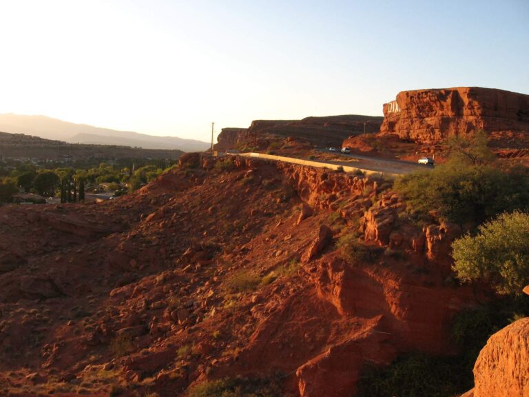
Photo: Ken Lund, CC BY-SA 2.0

Photo: Ken Lund, CC BY-SA 2.0
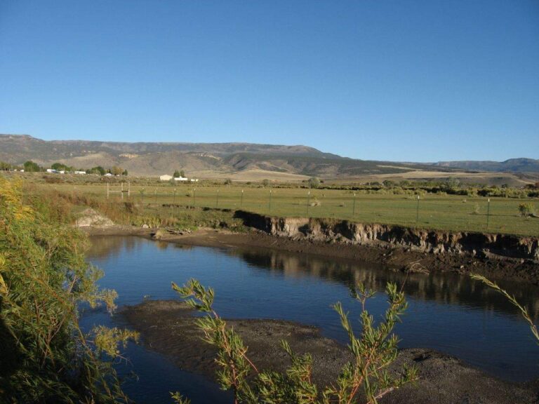
Photo: Ken Lund, CC BY-SA 2.0
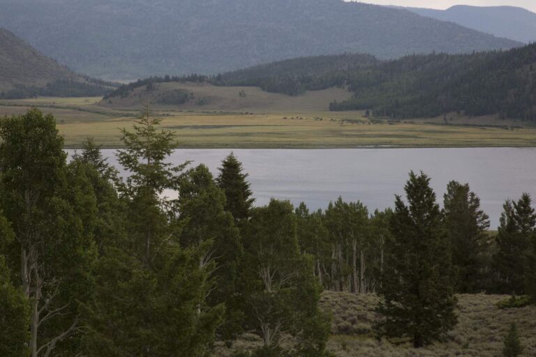
Photo: Intermountain Forest Service, USDA Region 4 Photography, Public domain
Short replies about fishing Beaver County
How many boat launches does Beaver County have in the Utah data?
The launch layers list 11 launches.
Which Beaver County lake tops the size figures?
On size, Minersville Reservoir: 401.
Which species keep appearing in DWR lists around Beaver County?
Fish Utah rates rainbow trout likely or possible on the most lakes within 40 miles, then brown trout, utah chub and wiper.
Does Beaver County have a Utah marina or bait counter?
None inside the county; the Utah list above holds the closest.
Which Utah town is the seat for Beaver County?
County offices sit in Beaver.
Do I need a Utah license to fish in Beaver County?
Plan on $40 with Utah residency or $120 without it for an adult 365-day license; anglers under 12 need none.
Which Utah counties lie closest to Beaver County?
Iron County, Millard County and Piute County sit nearest.
What trout figures apply to Beaver County water?
Statewide, the trout, kokanee and grayling row sets a daily limit 4 under the 2027 guidebook; the 2026 guidebook prints the same number. Waters with their own entry can differ.
Which waters in Beaver County break from the statewide rows?
3 waters with a page here carry their own rules, beginning with Lower Beaver River.
Is there Blue Ribbon water in Beaver County?
Minersville Reservoir, on DWR's Blue Ribbon list.
Does DWR stock fish in Beaver County?
The 2026 DWR table lists 74,325 fish in 32 rows across 10 waters in the county.
Hitch the boat for Utah water in Beaver County
Open a lake for its launches, limits and Reclamation readings.