Utah Blue Ribbon Fisheries
The reservoirs, mountain areas and streams DWR labels Blue Ribbon, linked to their pages.
 Angler pickPiscifun Viper X spinning reel50% OFFSale $39.99
Photo of Bear Lake: David Wilson, CC BY 2.0
What the Blue Ribbon label means in Utah
DWR names certain Utah waters Blue Ribbon fisheries for the quality of the fishing and the setting. This site shows the label wherever the Fish Utah page for a water carries it. 25 reservoirs and lakes, 20 mountain areas and 14 stream reaches here carry it.
The label is not a rule by itself: limits come from the statewide table and any water entry in the guidebook.
Utah DWR Fish Utah planner (dwrapps.utah.gov), read November 11, 2026.
Utah reservoirs and lakes with the Blue Ribbon label
- Bear Lakeabout 70,008 acres of mapped outline in Utah, Rich County
- Currant Creek Reservoirabout 290 acres of mapped outline, Wasatch County
- Deer Creek Reservoir2,965 acres, Wasatch County
- Duck Fork Reservoir47 acres, Sanpete County
- East Canyon Reservoirabout 659 acres of mapped outline, Morgan County
- Fish Lake2,500 acres, Sevier County
- Flaming Gorge Reservoir42,000 acres, Daggett County
- Gunlock Reservoirabout 252 acres of mapped outline, Washington County
- Huntington (Mammoth) Reservoir120 acres, Sanpete County
- Joes Valley Reservoir1,200 acres, Emery County
- Jordanelle Reservoirabout 2,972 acres of mapped outline, Wasatch County
- Kolob Reservoir250 acres, Washington County
- Lake Canyon LakeDuchesne County
- Lake Powellabout 112,709 acres of mapped outline in Utah, Kane County
- Lost Creek Reservoirabout 360 acres of mapped outline, Morgan County
- Lower Stillwater PondsDuchesne County
- Minersville Reservoirabout 1,139 acres of mapped outline, Beaver County
- Otter Creek Reservoirabout 2,519 acres of mapped outline, Piute County
- Panguitch Lakeabout 1,052 acres of mapped outline, Garfield County
- Quail Creek Reservoirabout 616 acres of mapped outline, Washington County
- Sand Hollow ReservoirWashington County
- Scofield Reservoir2,815 acres, Carbon County
- Starvation Reservoirabout 2,742 acres of mapped outline, Duchesne County
- Strawberry Reservoir17,200 acres, Wasatch County
- Willard Bay Reservoirabout 9,991 acres of mapped outline, Box Elder County
Utah DWR Fish Utah planner (dwrapps.utah.gov), read November 11, 2026.
Utah streams and areas with the Blue Ribbon label
- Boulder Mountain LakesGarfield County
- Clear CreekSevier County
- Duchesne River (Hanna to the North Fork)Duchesne County
- East Fork Sevier River (Black Canyon)Garfield County
- East Fork Sevier River (Kingston Canyon)Piute County
- Green River Below Flaming Gorge DamDaggett County
- Logan RiverCache County
- Lower Fish CreekCarbon County
- Lower Provo River (Olmstead Diversion to Deer Creek Dam)Wasatch County
- Middle Provo River (Legacy Bridge to Jordanelle Dam)Wasatch County
- Ogden RiverWeber County
- Straight Canyon CreekEmery County
- Uinta Mountains, Bear RiverSummit County
- Uinta Mountains, Beaver Creek ForksSummit County
- Uinta Mountains, Blacks ForkSummit County
- Uinta Mountains, Burnt ForkSummit County
- Uinta Mountains, Dry GulchDuchesne County
- Uinta Mountains, Duchesne RiverDuchesne County
- Uinta Mountains, Henrys ForkSummit County
- Uinta Mountains, Lake ForkDuchesne County
- Uinta Mountains, Mirror Lake HighwaySummit County
- Uinta Mountains, North Slope EastDaggett County
- Uinta Mountains, North Slope Roadside LakesSummit County
- Uinta Mountains, Provo RiverSummit County
- Uinta Mountains, Rock CreekDuchesne County
- Uinta Mountains, Smiths ForkSummit County
- Uinta Mountains, South Slope EastUintah County
- Uinta Mountains, Uinta RiverDuchesne County
- Uinta Mountains, Weber RiverSummit County
- Uinta Mountains, WhiterocksDuchesne County
- Uinta Mountains, Yellowstone/Swift CreekDuchesne County
- Weber RiverMorgan County
- West Fork Duchesne River above Wolf CreekWasatch County
- West Fork Duchesne River below Wolf CreekDuchesne County
Utah DWR Fish Utah planner (dwrapps.utah.gov), read November 11, 2026.
Utah Blue Ribbon waters on the map
Beehive State water shown with Utah Blue Ribbon Fisheries
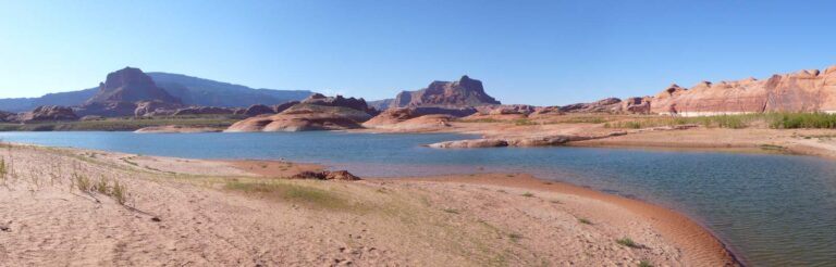
Photo: John Fowler, CC BY 2.0
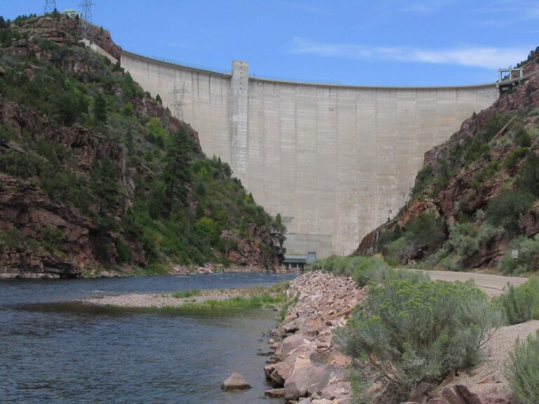
Photo: Ken Lund, CC BY-SA 2.0
Photo: Ken Lund, CC BY-SA 2.0
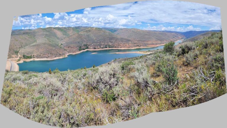
Photo: Andrey Zharkikh, CC BY 2.0
Utah Blue Ribbon waters, answered
How many Utah Blue Ribbon fisheries have pages here?
59: 25 reservoirs and lakes, 20 mountain areas and 14 stream reaches.
Who picks Blue Ribbon waters?
DWR, through its Blue Ribbon fisheries program; the label is copied from the Fish Utah page for each water.
Do Blue Ribbon waters have special limits?
Only where the guidebook prints an entry for the water; otherwise the statewide table applies.
Is Strawberry Reservoir on the list?
Yes.
Is the Green River below Flaming Gorge on it?
Yes.
Why does a guidebook icon not match this list?
The guidebook icon was not read reliably from the PDF layout, so the Fish Utah label is used instead.
Are there Blue Ribbon ponds?
A few small waters carry the label; they are in the still-water list.
Where are the Utah limits?
On the Utah license and regulations page and each water page.