Fishing in Charleston County, South Carolina
County seat: Charleston. Population 408,235 (2020). SCDNR Region 4.
- 31bank and pier sites
- 32landings
- 25river pages
 Pick for bluegillPiscifun Carbon X ultralight spinning reel28% OFFSale $57.99
Photo of Lake Moultrie: jalexartis Photography, CC BY 2.0
What Charleston County offers from landing to tide line
Charleston County had a 2020 population of 408,235 and runs its government out of Charleston. Its public access points sit chiefly in SCDNR Region 4.
Boaters get 32 landings and paddle launches, and shore anglers get 31 piers and bank sites, on SCDNR maps of the county. For current, start with Edisto River, Intracoastal Waterway and Ashley River. The Atlantic side of the county gives 13 coastal water pages, 12 artificial reef areas and 22 saltwater piers.
U.S. Census Bureau, 2020 Census counts (TIGERweb) and the 2023 Gazetteer, read November 9, 2026. SCDNR South Carolina Public Water Access layer (ArcGIS service, the data behind the SCDNR fishing access map), read November 9, 2026.
Where the water points land across Charleston County
SCDNR Public Water Access layer and lake points, checked November 9, 2026.
SCDNR-profiled lakes inside Charleston County
Charleston County has little paged lake water, so here are the nearest lakes from Charleston.
| Lake | From Charleston | Size | Landings | Kind | SCDNR species list |
|---|---|---|---|---|---|
| Bonneau Ferry WMA Lake | 20 miles north | 100 acres | 0 | mapped lake | none on SCDNR lists |
| Lake Moultrie | 35 miles north | 60,400 acres | 9 | major reservoir | Largemouth Bass, Bluegill, Redear Sunfish |
| Wee Tee Lake | 41 miles north | not printed | 1 | named at an SCDNR access | Largemouth Bass, Black Crappie, Redear Sunfish |
| Lake Marion | 53 miles northwest | 90,000 acres | 17 | major reservoir | Largemouth Bass, Bluegill, Redear Sunfish |
Surface acres and depth as SCDNR prints them on its page for this lake, read November 9, 2026. Sizes SCDNR does not print show as mapped outline area. Species as SCDNR lists them at its access points.
 For the bluegill herePiscifun Carbon XT ultralight spinning reel25% OFFSale $59.99
The species tally for lakes near Charleston County
Tallying lake pages up to 100 miles from Charleston by SCDNR species entries puts Black Crappie first.
SCDNR Public Water Access species lists, counted per lake page within 100 miles; an occurrence list, not a catch survey.
Leftover named ponds on SCDNR records for Charleston County
There are 4 further named waters in Charleston County, with size where SCDNR maps one.
| Water | Size | Kind |
|---|---|---|
| Nebo Ponds | not printed | named at an SCDNR access |
| Old Georgetown Pond | not printed | named at an SCDNR access |
| Twin Ponds | not printed | named at an SCDNR access |
| Willow Lake | not printed | named at an SCDNR access |
Outline area from the SCDNR Lakes and Reservoirs map layer (a GIS polygon area, not an SCDNR surface-acre figure), read November 9, 2026. SCDNR South Carolina Public Water Access layer (ArcGIS service, the data behind the SCDNR fishing access map), read November 9, 2026.
Flowing and tidal streams of Charleston County
- Edisto Rivertidal, 16 SCDNR accesses, 7 USGS gauges
- Intracoastal Waterwaytidal, 14 SCDNR accesses
- Ashley Rivertidal, 12 SCDNR accesses, 3 USGS gauges
- Cooper Rivertidal, 7 SCDNR accesses, 3 USGS gauges
- Santee Rivertidal, 7 SCDNR accesses, 4 USGS gauges
- Stono Rivertidal, 4 SCDNR accesses, 1 USGS gauge
- Wambaw Creektidal, 3 SCDNR accesses
- Bohicket Creektidal, 2 SCDNR accesses
- Toogoodoo Creektidal, 2 SCDNR accesses
- Wando Rivertidal, 2 SCDNR accesses, 2 USGS gauges
- Awendaw Creektidal, 1 SCDNR access
- Dawhoo Creektidal, 1 SCDNR access
- Elliot Cuttidal, 1 SCDNR access
- Folly Rivertidal, 1 SCDNR access
- Jeremy Creektidal, 1 SCDNR access
- North Edisto Rivertidal, 1 SCDNR access
- Ocella Creektidal, 1 SCDNR access
- Penny Creektidal, 1 SCDNR access
- Rantowles Creektidal, 1 SCDNR access
- Shem Creektidal, 1 SCDNR access
- Sol Legare Creektidal, 1 SCDNR access
- Steamboat Creektidal, 1 SCDNR access
- Unnamed Tidal Creektidal, 1 SCDNR access
- Wampacheone Creektidal, 1 SCDNR access
- Wappoo Creektidal, 1 SCDNR access
Smaller Charleston County waterways on the list (1)
- Pondtidal
Charleston County river gauges right now
| USGS gauge | Latest reading | Time (ET) |
|---|---|---|
| South Santee R At State Pier Nr Mcclellanville, Sc | 21.15 ft gage height | Nov 13 7:15 pm |
| Skrine Creek Near Mcclellenville, Sc | 7.87 ft gage height | Nov 13 7:15 pm |
| Cooper R At Ports Authority Pier K Charleston, Sc | 13.06 ft gage height | Nov 13 8:00 pm |
| Cooper River At U.s. Hwy 17 At Charleston, Sc | 7.36 ft gage height | Nov 13 8:15 pm |
| Cooper River At S. Adgers Wharf At Charleston, Sc | 18.82 ft gage height | Nov 13 8:00 pm |
| Ashley River Near North Charleston, Sc | 8.56 ft gage height | Nov 13 7:30 pm |
US Geological Survey provisional data, retrieved Nov 13, 2026 8:32 pm ET. Provisional readings can be revised.
SCDNR South Carolina Public Water Access layer (ArcGIS service, the data behind the SCDNR fishing access map), read November 9, 2026. USGS Water Data for the Nation, live through the site, retrieved on page view.
Tide-washed water belonging to Charleston County
Where Charleston County meets the tide
- Breach Inletinlet
- Captain Sams Inletinlet
- Charleston Harborharbor
- Clark Soundsound
- Frampton Inletinlet
- Hickory Baybay
- Jeremy Inletinlet
- Lighthouse Inletinlet
- Muddy Baybay
- Oyster Bay (Charleston County)bay
- Sewee Baybay
- South Edisto Inletinlet
- Stono Inletinlet
SCDNR reefs nearest Charleston County
- Capers Reef (R8)PA-22
- Y-73 ReefPA-23
- Charleston 60' ReefPA-24
- Charleston Nearshore ReefPA-25
- PA-26
- Doug Mellichamp Jr. ReefPA-27
- Lowcountry Anglers' ReefPA-28
- Kiawah Reef (4KI)PA-29
- Edisto 60' ReefPA-30
- N. Edisto Nearshore ReefPA-32
- CCA-McClellanville ReefPA-34
- Edisto Offshore ReefPA-36
Fishing piers along the Charleston County shore
- Breach Inlet Bridge PierBreach Inlet
- Brittlebank Park Pier on Ashley RiverAshley River
- Charleston Waterfront Park Pier on Cooper RiverCooper River
- Cherry Point (Bohicket Creek) Pier on Bohicket CreekBohicket Creek
- County Farm Pier on Ashley RiverAshley River
- Crosby's Seafood Dock Pier on Sol Legare CreekSol Legare Creek
- Dawhoo PierPond
- Edwin S. Taylor Folly Beach Fishing Pier on Atlantic OceanAtlantic Ocean
- Garris Landing Pier on Intracoastal WaterwayIntracoastal Waterway
- Higgins Pier on Ashley RiverAshley River
- James Island County Park Pier on Stono RiverStono River
- Mount Pleasant Pier on Charleston HarborCharleston Harbor
- Nebo Bank on Sewee BaySewee Bay
- Palmetto Islands County Park Pier on Wampacheone CreekWampacheone Creek
- Pitt Street Bridge Pier on Charleston HarborCharleston Harbor
- Remleys Point Pier on Cooper RiverCooper River
- Santee Coastal Reserve PierSantee River
- Sol Legare Fishing Pier and Crabbing Dock on Stono RiverStono River
- Steamboat PierSteamboat Creek
- Sunrise Park Fishing Pier on Clark SoundClark Sound
A year of freshwater fishing costs $10 for a South Carolina resident and $35 for anyone from out of state. Residents fishing salt water buy a $15 annual saltwater license.
Saltwater limits South Carolina piers
USGS Geographic Names Information System point for this water, read November 9, 2026. SCDNR Marine Artificial Reef map layers and the SCDNR reef sheet for each permit area (SCDNR reef program), read November 9, 2026. SCDNR South Carolina Public Water Access layer (ArcGIS service, the data behind the SCDNR fishing access map), read November 9, 2026. License prices as printed on the SCDNR license pricing pages (dnr.sc.gov), read November 9, 2026.
Charleston County boat landings and paddle launches
- Awendaw Creek Canoe LaunchAwendaw Creek, paddle launch, wood
- Battery Island (Sol Legare) Boat Ramp on Stono RiverStono River, boat ramp, 2 lanes, concrete or paved, courtesy dock
- Buck Hall Boat Ramp on Intracoastal WaterwayIntracoastal Waterway, boat ramp, 3 lanes, concrete or paved, courtesy dock
- Bulow Boat Ramp on Rantowles CreekRantowles Creek, boat ramp, 1 lane, concrete or paved
- Cherry Point Boat Ramp on Bohicket CreekBohicket Creek, boat ramp, 2 lanes, concrete or paved, courtesy dock, fishing pier
- Dawhoo Boat RampDawhoo Creek, boat ramp, 2 lanes, concrete or paved, courtesy dock, fishing pier
- Folly River Boat RampFolly River, boat ramp, 4 lanes, concrete or paved, courtesy dock
- Garris Landing on Intracoastal WaterwayIntracoastal Waterway, boat ramp, 2 lanes, concrete or paved, courtesy dock, fishing pier
- Harry M. Hallman, Jr. Boat Ramp on Shem CreekShem Creek, boat ramp, 2 lanes, concrete or paved, courtesy dock
- John P Limehouse Boat Ramp on Stono RiverStono River, boat ramp, 4 lanes, concrete or paved, courtesy dock, fishing pier
- Martins Boat Ramp on Edisto RiverEdisto River, boat ramp, 2 lanes, concrete or paved
- McLellanville Landing on Jeremy CreekJeremy Creek, boat ramp, 2 lanes, concrete or paved, courtesy dock
- Northbridge Park on Ashley RiverAshley River, paddle launch
- Paradise Boat Ramp on Wando RiverWando River, boat ramp, 1 lane, concrete or paved
- Penny Creek Boat RampPenny Creek, boat ramp, 1 lane, concrete or paved
- Pier Point Boat Ramp on Ashley RiverAshley River, boat ramp, 1 lane, concrete or paved
- R. M. Hendrick's (Virginia Av. Park) on Cooper RiverCooper River, boat ramp, 1 lane, concrete or paved
- Remleys Point Boat Ramp on Wando RiverWando River, boat ramp, 3 lanes, concrete or paved, courtesy dock, fishing pier
- Riverland Terrace Boat Ramp on Elliot CutElliot Cut, boat ramp, 2 lanes, concrete or paved, courtesy dock
- Station 26 LandingUnnamed Tidal Creek, paddle launch, gravel
- Steamboat Boat Ramp on North Edisto RiverNorth Edisto River, boat ramp, 2 lanes, concrete or paved, courtesy dock, fishing pier
- Stills Boat Ramp on Wambaw CreekWambaw Creek, boat ramp, 1 lane, dirt
- Sunrise Park on Clark SoundClark Sound, paddle launch, other (see comments)
- Toogoodoo Boat RampToogoodoo Creek, boat ramp, 1 lane, concrete or paved
- WO Thomas, Jr. Boat Landing on Ashley RiverAshley River, boat ramp, 2 lanes, concrete or paved, courtesy dock, fishing pier
- Wappoo Cut Boat RampWappoo Creek, boat ramp, 3 lanes, concrete or paved, courtesy dock
- Willtown Bluff Boat Ramp on Edisto RiverEdisto River, boat ramp, 1 lane, concrete or paved
- City Marina (Leeds Ave) on Ashley RiverAshley River, boat ramp, other (see comments)
- Highway 45 Bridge Paddle Launch on Wambaw CreekWambaw Creek, paddle launch
- Pitt Street Bridge Paddle Launch on Intracoastal WaterwayIntracoastal Waterway, paddle launch
- Roxbury Park on Toogoodoo CreekToogoodoo Creek, paddle launch
- Sea Cloud Landing on Ocella CreekOcella Creek, paddle launch
Piers and bank access of Charleston County
- Botany Bay (surf fishing) on Frampton InletFrampton Inlet, bank
- Edwin S. Taylor Folly Beach Fishing Pier on Atlantic OceanAtlantic Ocean, pier, concrete or paved
- Higgins Pier on Ashley RiverAshley River, pier, wood
- James Island County Park Pier on Stono RiverStono River, pier
- Lighthouse Inlet Heritage Preserve Bank FishingLighthouse Inlet, bank, other (see comments)
- Mount Pleasant Pier on Charleston HarborCharleston Harbor, pier, concrete or paved
- Nebo Ponds BankNebo Ponds, bank
- Old Georgetown Road Pond BankOld Georgetown Pond, bank
- Sol Legare Fishing Pier and Crabbing Dock on Stono RiverStono River, pier, other (see comments)
- Twin Ponds BankTwin Ponds, bank
- Willow Lake BankWillow Lake, bank
- Breach Inlet Bridge PierBreach Inlet, pier
- Brittlebank Park Pier on Ashley RiverAshley River, pier
- Charleston Waterfront Park Pier on Cooper RiverCooper River, pier
- Cherry Point (Bohicket Creek) Pier on Bohicket CreekBohicket Creek, pier
- County Farm Pier on Ashley RiverAshley River, pier
- Crosby's Seafood Dock Pier on Sol Legare CreekSol Legare Creek, pier
- Dawhoo PierPond, pier
- Garris Landing Pier on Intracoastal WaterwayIntracoastal Waterway, pier
- Goose Creek Municipal Complex BankPond, bank
- Nebo Bank on Sewee BaySewee Bay, pier
- Palmetto Islands County Park Pier on Wampacheone CreekWampacheone Creek, pier
- Pitt Street Bridge Pier on Charleston HarborCharleston Harbor, pier
- Remleys Point Pier on Cooper RiverCooper River, pier
- Rhem's Church BankPond, bank
- Santee Coastal Reserve PierSantee River, pier
- Steamboat PierSteamboat Creek, pier
- Sunrise Park Fishing Pier on Clark SoundClark Sound, pier, wood
- The Battery Pier on Ashley RiverAshley River, pier
- Twin Ponds BankTwin Ponds, bank
- Virginia Avenue Pier on Cooper RiverCooper River, pier
SCDNR South Carolina Public Water Access layer (ArcGIS service, the data behind the SCDNR fishing access map), read November 9, 2026. The SCDNR layer carries no fee or hours field.
Size and daily limits for Charleston County water
Wherever no guide row names a Charleston County water, these statewide freshwater limits govern it. A total of 40 game fish may be kept in any one day (freshwater), not exceeding the species limits (guide p. 28). A year of freshwater fishing costs $10 for a South Carolina resident and $35 for anyone from out of state.
| Species | Size limit | Daily limit |
|---|---|---|
| American Eel | 9 inches min | 25 |
| Blue Catfish | See limits in Freshwater Nongame Fishing Regulations section. | See limits in Freshwater Nongame Fishing Regulations section. |
| Bream | Any length | 30 |
| Redbreast Sunfish | Any length | 15 |
| Crappie | 8 inches min | 20 |
| Walleye & Sauger | Any length | No more than 8 combined total of walleye or sauger |
| Chain Pickerel | Any length | 30 |
| Redfin Pickerel | Any length | 30 |
| Yellow Perch | Any length | 30 |
| Smallmouth Bass | 12 inches min | No more than 5 combined total of smallmouth, largemouth, redeye bass or their hybrids |
| Redeye (Bartrams) Bass | Any length | No more than 5 combined total of smallmouth, largemouth, redeye bass or their hybrids |
| Largemouth Bass | Any length | No more than 5 combined total of smallmouth, largemouth, redeye bass or their hybrids |
| Spotted Bass | Any length | 15 |
| White Bass | Any length | 10 |
| Striped or Hybrid Bass or a combination | Any length | 10 |
Spots in Charleston County with their own limits
- Ashley RiverStriped or Hybrid Bass or a combination: Oct. 1 – June 15: 26 inches min, 3
- Cooper RiverStriped or Hybrid Bass or a combination: Oct. 1 – June 15: 26 inches min, 3
- Edisto RiverStriped or Hybrid Bass or a combination: Oct. 1 – June 15: 26 inches min, 3
- Santee RiverStriped or Hybrid Bass or a combination: Oct. 1 – June 15 striped bass between 23 and 25 inches may be harvested except that one fish may be greater than 26 inches, 3
2026-2027 South Carolina Hunting & Fishing Guide, valid August 14, 2026 to August 14, 2027 (online guide), read November 9, 2026. License prices as printed on the SCDNR license pricing pages (dnr.sc.gov), read November 9, 2026.
Where Charleston County turns up on the record list
| Species | Weight as listed | List | Water | Year |
|---|---|---|---|---|
| American Shad | 7-0 | freshwater | Santee River | 1985 |
South Carolina state record fish as listed by SCDNR (record list), read November 9, 2026.
Bass trails and weigh-ins on Charleston County water
Clubs and trails post 5 events on Charleston County water; 2 remain on the schedule.
| Date | Event | Water | Organizer |
|---|---|---|---|
| Nov. 21, 2026 | CATT Cooper River Fall Qualifier #6 | Cooper River | Carolina Anglers Team Trail (CATT) |
| Dec. 12, 2026 | CATT Cooper River Fall Final | Cooper River | Carolina Anglers Team Trail (CATT) |
| Oct. 24, 2026 | Michael & Justin Craven Win the Cooper River, SC Oct 24, 2026 14.54 lbs! | Cooper River | Carolina Anglers Team Trail (CATT) |
| Sept. 26, 2026 | CATT Results! Randy Gibson & Nick Wilson Win the Cooper River. SC! Sept 26, 2026. 14.90 lbs! | Cooper River | Carolina Anglers Team Trail (CATT) |
| April 11, 2026 | Justin Craven Wins the Cooper River, SC Spring Final April 11, 2026. 19.63 lbs! $1,700.00 | Cooper River | Carolina Anglers Team Trail (CATT) |
Organizer schedule and results pages, checked November 2026.
Stocking up for a Charleston County trip
Marinas and tackle shops of Charleston County
- 843 Fliesbait and tackle shop, Charleston
- Atlantic Game & Tacklebait and tackle shop, Mount Pleasant
- Beach Cowboy Fitnessbait and tackle shop, Mount Pleasant
- Bohicket Creek Boat Rentalsbait and tackle shop, Johns Island
- Dick's Sporting Goods, 1114 Bowman Rdbait and tackle shop, Mount Pleasant
- Dick's Sporting Goods, 2070 Sam Rittenberg Blvd # UNITFC1bait and tackle shop, Charleston
- Eye Strike Fishingbait and tackle shop, North Charleston
- Flymen Fishing Cofly shop, Charleston
- Funny Farm Tacklebait and tackle shop, Isle Of Palms
- Haddrell's Point Tackle & Supply, 47 Windermere Blvdbait and tackle shop, Charleston
- Haddrell's Point Tackle & Supply, 885 Ben Sawyer Blvdbait and tackle shop, Mount Pleasant
- Henry's Marine, Hunting & Fishingbait and tackle shop, Mount Pleasant
- Henry's Sporting Goodsbait and tackle shop, Mount Pleasant
- Low Country Deep Dropbait and tackle shop, Mount Pleasant
- Low Country Fly Shopfly shop, Mount Pleasant
- Lowcountry Ace Hardwarebait and tackle shop, Charleston
- Seacoast Sports & Outfittersbait and tackle shop, Johns Island
- South Side Bait and Tacklebait and tackle shop, Johns Island
- Southern Bell Brandsbait and tackle shop, North Charleston
- Southern Bell Livingbait and tackle shop, Mt Pleasant
- Sportsman's Warehouse, 4956 Centre Pointe Drbait and tackle shop, Charleston
- Tackle the Dreambait and tackle shop, Charleston
- The Charleston Angler, 1113 Market Center Blvdbait and tackle shop, Mount Pleasant
- The Charleston Angler, 654 Saint Andrews Blvdbait and tackle shop, Charleston
- Charleston Maritime Centermarina, Charleston
- City Marinamarina, Charleston
- Cooper River Marinamarina, North Charleston
- Dolphin Cove Marinamarina, North Charleston
- Elliotts Marinemarina, Johns Island
- Magwood Marine Incmarina, Mount Pleasant
Paid trips out of Charleston County
- All In One Charterscharter, Charleston, (843) 330-3272
- Allure Fishing Charterscharter, Mount Pleasant, (843) 225-3474
- Ark Angel Charterscharter, Charleston, (843) 751-3256
- Atlantic Breeze Charterscharter, Folly Beach, (843) 514-6015
- Capt Rich Harrischarter, Mount Pleasant, (843) 388-5093
- Captain Richard Fishing Chartercharter, Charleston, (843) 729-5203
- Charleston Boat Charterscharter, Charleston, (843) 872-8088
- Charleston Charter Fishingcharter, Charleston, (843) 324-3332
- Charleston Charter and Yachtcharter, Charleston, (843) 327-1600
- Charleston Fish Rod Bending Cocharter, Charleston, (843) 696-4231
- Charleston Fishing Adventurescharter, Isle Of Palms, (843) 478-8216
- Charleston Fishing Charterscharter, Charleston, (843) 882-7515
- Charleston Fishing Companycharter, Charleston, (843) 412-6811
- Charleston Fishing Tripscharter, Mount Pleasant, (843) 830-0339
- Charleston Silverfox Charterscharter, Charleston, (843) 901-3719
- Charter Boat Teasercharter, Mount Pleasant, (843) 881-9735
- Exclusive Fishing Charterscharter, Charleston, (843) 709-6859
- Folly Beach Fishing Tripscharter, Folly Beach, (843) 714-0928
- J & J Fishing charterscharter, Johns Island, (843) 819-0063
- Keel N Time Fishing Charterscharter, Charleston, (910) 523-0114
Yellow Pages listings (city of business), read November 9, 2026.
Next stops beyond Charleston County
Charleston County communities with pages
- Charlestonpop. 150,227
- North Charlestonpop. 114,852
- Mount Pleasantpop. 90,801
- James Islandpop. 11,621
- Hollywoodpop. 5,339
- Isle of Palmspop. 4,347
- Ravenelpop. 2,542
- Folly Beachpop. 2,078
- Seabrook Islandpop. 2,050
- Kiawah Islandpop. 2,013
- Sullivan's Islandpop. 1,891
- Awendawpop. 1,399
- Meggettpop. 1,390
- Lincolnvillepop. 1,147
Counties ringing Charleston County
- Berkeley County28 miles north
- Dorchester County33 miles northwest
- Colleton County42 miles west
- Beaufort County53 miles southwest
Piscifun gear a Palmetto State angler could pack for Charleston County


Piscifun and Amazon links are affiliate links; the site earns a commission on qualifying purchases.
Lowcountry and Upstate water near Charleston County, on camera
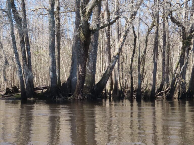
Photo: David Wilson, CC BY 2.0
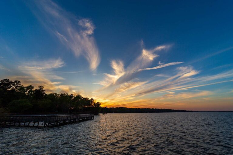
Photo: Andrew Parlette, CC BY 2.0
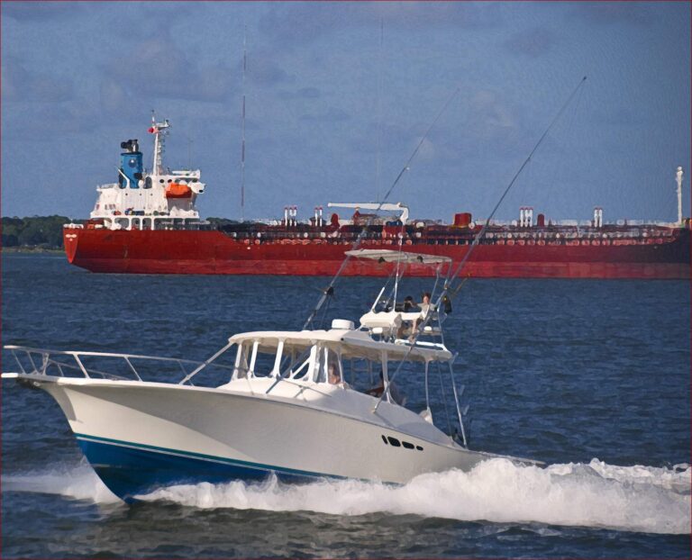
Photo: Ron Cogswell, CC BY 2.0
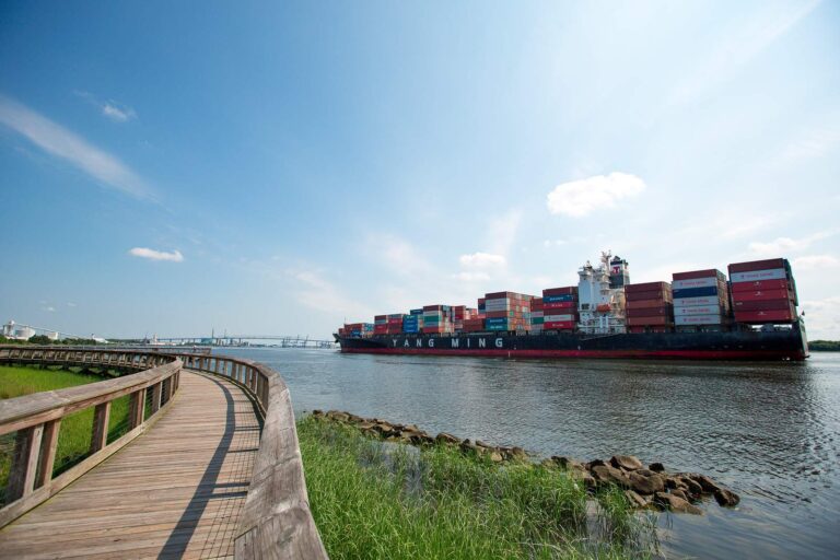
Photo: North Charleston, CC BY-SA 2.0
Lakes, creeks and landings of Charleston County, in questions
How many SCDNR ramps serve Charleston County?
Count 32 landings and launches in the SCDNR access layer.
Which still water in Charleston County is widest?
No lake page lies inside the county; Bonneau Ferry WMA Lake, 20 miles from Charleston, is the nearest.
What fish show up on access lists near Charleston County?
SCDNR access lists name Black Crappie on the most lake pages within 100 miles, then Largemouth Bass, Redear Sunfish and Bluegill.
Where are the Charleston County tackle counters on Yellow Pages?
Start with 843 Flies, one of 47.
Where is the Charleston County courthouse?
Charleston holds it.
Which SCDNR license do I buy for Charleston County lakes?
A year of freshwater fishing costs $10 for a South Carolina resident and $35 for anyone from out of state. Residents fishing salt water buy a $15 annual saltwater license.
Which counties neighbour Charleston County?
Begin with Berkeley County, Dorchester County and Colleton County.
How many crappie can a Charleston County angler keep each day?
Statewide: Crappie: 20 daily, size 8 inches min. A guide row naming a lake can change it.
Is Charleston County in SCDNR Region 1, 2, 3 or 4?
SCDNR Region 4, going by the majority of its SCDNR access records.
Are there lake-specific limits in Charleston County?
4 waters with a page here have a guide row of their own, beginning with Ashley River.
Do SC clubs and trails fish Charleston County?
5 organizer entries on file; next is CATT Cooper River Fall Qualifier #6 on Cooper River, Nov. 21, 2026.
Which records were caught in Charleston County water?
American Shad, 7-0 as listed, from Santee River (1985).
Which saltwater spots belong to Charleston County?
Yes: 13 coastal water pages, 12 artificial reef areas and 22 saltwater piers.
Plan a fishing weekend across Charleston County
Lake pages show landings, SCDNR species lists and any guide row.