South Carolina Rivers and Creeks
141 South Carolina rivers, blackwater creeks and tidal rivers with SCDNR landings, USGS flow, guide limits and trout water.
Photo of Chattooga River: ChattOconeeNF, CC BY 2.0
 Pick for striped bassPiscifun Viper X spinning reel50% OFFSale $39.99
A
- Abner CreekPickens County
- Ashepoo RiverColleton County
- Ashley RiverCharleston and Dorchester counties
- Awendaw CreekCharleston County
B
- Back RiverBerkeley County
- Battery CreekBeaufort County
- Beaufort RiverBeaufort County
- Bee CreekOconee County
- Beresford CreekBerkeley County
- Big Bay CreekColleton County
- Biggin CreekBerkeley County
- Black CreekFlorence and Williamsburg counties
- Black Mingo CreekGeorgetown County
- Black RiverGeorgetown and Williamsburg counties
- Bohicket CreekCharleston County
- Boyd CreekJasper County
- Brasstown CreekOconee County
- Brickyard CreekBeaufort County
- Broad CreekBeaufort County
- Broad RiverBeaufort County and 8 other counties
- Bull CreekHorry County
C
- Cane CreekPickens County
- Capers CreekBeaufort County
- Catawba RiverChester County and 2 other counties
- Cedar CreekLancaster County and 2 other counties
- Chattooga RiverOconee County
- Chauga RiverOconee County
- Chechessee RiverBeaufort County
- Chehaw RiverColleton County
- Cheohee CreekOconee County
- Chessie CreekColleton County
- Clarks CreekWilliamsburg County
- Colleton RiverBeaufort County
- Combahee RiverBeaufort County and 2 other counties
- Congaree CreekLexington County
- Congaree RiverLexington and Richland counties
- Cooper RiverBerkeley and Charleston counties
- Coosawhatchie RiverJasper County
- Corbin CreekOconee County
- Cowen CreekBeaufort County
- Crane CreekOconee County
- Cuckholds CreekColleton County
D
- Dawhoo CreekCharleston County
- Dunham CreekBerkeley County
E
- East Fork Chattooga RiverOconee County
- Eastatoe CreekPickens County
- Echaw CreekBerkeley County
- Edisto RiverBamberg County and 3 other counties
- Elliot CutCharleston County
- Enoree RiverGreenville County and 2 other counties
- Euhaw CreekJasper County
F
- Factory CreekBeaufort County
- Fishing CreekChester and Lancaster counties
- Folly RiverCharleston County
G
- Great Falls ReservoirChester County
- Great Pee Dee RiverChesterfield County and 7 other counties
H
- Haigh CreekBeaufort County
- Head Foremost CreekGreenville County
- Horse Bone Branch CreekOconee County
- Horseshoe CreekColleton County
- Howard CreekOconee County
- Huspah CreekBeaufort County
I
- Intracoastal WaterwayCharleston County and 2 other counties
J
- Jeffries CreekFlorence County
- Jenkins CreekBeaufort County
- Jeremy CreekCharleston County
L
- Laurel Fork CreekPickens County
- Lawsons Fork CreekSpartanburg County
- Lick Log CreekOconee County
- Little EastatoePickens County
- Little Eastatoe CreekPickens County
- Little Pee Dee RiverDillon County and 2 other counties
- Little Pine Tree CreekKershaw County
- Lucy Point CreekBeaufort County
- Lumber RiverHorry County
- Lynches RiverFlorence and Lee counties
M
- Mackay CreekBeaufort County
- Main CreekGeorgetown County
- Matthews CreekGreenville County
- May RiverBeaufort County
- Middle Saluda RiverGreenville County
- Mosquito CreekColleton County
N
- New RiverBeaufort and Jasper counties
- North Edisto RiverCharleston County
- North Fork Edisto RiverOrangeburg County
- North Fork Fall CreekOconee County
- North Saluda RiverGreenville County
- North Santee RiverGeorgetown County
- North Winbee CreekBeaufort County
O
- Ocella CreekCharleston County
- Old House CreekBeaufort County
P
- Pacolet RiverCherokee and Spartanburg counties
- Pawleys CreekGeorgetown County
- Penny CreekCharleston County
- Peters CreekGeorgetown County
- Pocotaligo RiverClarendon County
Q
- Quenby CreekBerkeley County
R
- Rantowles CreekCharleston County
- Rediversion CanalBerkeley County
- Reedy Cove CreekPickens County
- Reedy RiverGreenville and Laurens counties
- Rocky Bottom CreekPickens County
- Rocky Fork CreekOconee County
- Russ CreekMarion County
S
- Salkehatchie RiverBamberg County and 2 other counties
- Saluda RiverAnderson County and 6 other counties
- Sampit RiverGeorgetown County
- Santee RiverBerkeley County and 2 other counties
- Savannah RiverAiken County and 5 other counties
- Shem CreekCharleston County
- Side-of-Mountain CreekPickens County
- Sol Legare CreekCharleston County
- South Fork Edisto RiverAiken County and 2 other counties
- South Pacolet RiverGreenville County
- South Saluda RiverGreenville County
- South Tyger RiverSpartanburg County
- Station CreekBeaufort County
- Steamboat CreekCharleston County
- Stevens Creek ReservoirEdgefield and McCormick counties
- Stono RiverCharleston County
- Stumpy Pond (Cedar Creek Reservoir)Fairfield County
- Swaford CreekOconee County
T
- Tail Race CanalBerkeley County
- Toogoodoo CreekCharleston County
- Twelvemile CreekPickens County
- Tyger RiverSpartanburg and Union counties
U
- Unnamed Tidal CreekCharleston County
- Upper Three RunsAiken County
W
- Waccamaw RiverGeorgetown and Horry counties
- Wadboo CreekBerkeley County
- Wadmacon CreekGeorgetown County
- Wambaw CreekBerkeley and Charleston counties
- Wampacheone CreekCharleston County
- Wando RiverCharleston County
- Wappoo CreekCharleston County
- Wards CreekBeaufort County
- Wateree RiverKershaw and Richland counties
- Whale BranchBeaufort County
- Whetstone CreekOconee County
- Willis CreekPickens County
- Wright RiverJasper County
Marsh, reservoir and landing scenes for South Carolina Rivers and Creeks

Photo: RJ Matthews, CC BY-SA 3.0

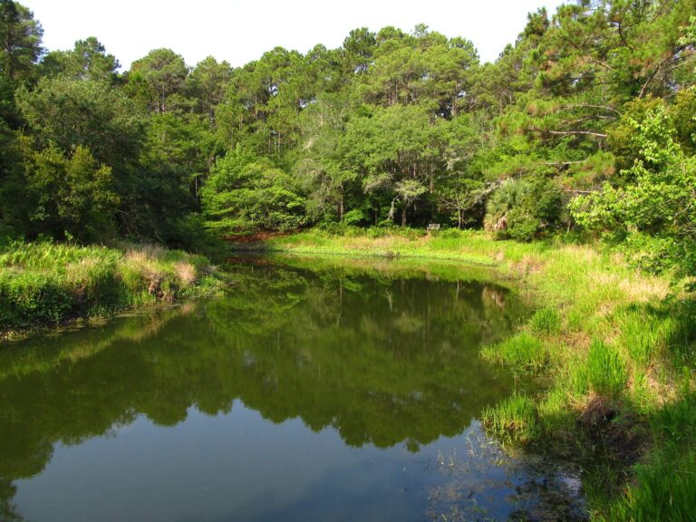
Photo: Ken Lund, CC BY-SA 2.0
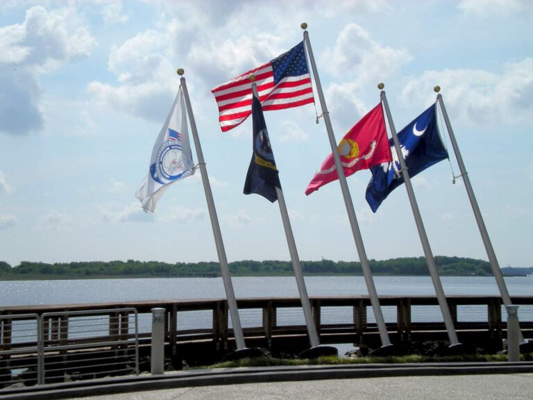
Photo: North Charleston, CC BY-SA 2.0

Photo: ChattOconeeNF, CC BY 2.0
Palmetto State rivers list: common questions
How many South Carolina streams have a page?
141 rivers and creeks that have an SCDNR landing or a USGS gauge plus another fact of their own.
How many show SCDNR public access?
141 stream pages list ramps, paddle launches or bank sites from the SCDNR access layer.
Which ones carry live flow?
48 stream pages print one or more USGS gauges matched by name and distance.
Do any rivers have special limits?
22 stream pages quote a guide row naming them, mostly striped bass rules on the coastal rivers.
Where is the trout water?
34 streams have SCDNR access points marked as trout water, most of them in the mountain counties.
Are the tidal rivers included?
75 tidal rivers and creeks have pages; 19 rivers also carry their mouth, folded in from the coastal names.
Why is no river length shown?
No mapped source with a measured length was read, so none is printed rather than a guess.
Why might my home creek be absent?
It needs an SCDNR landing or a USGS gauge plus one more fact before it gets a page.
 For the striped bass herePiscifun AlumiX spinning reel46% OFFSale $64.99
Carolina rule pages and directories that sit beside the rivers list
- Every South Carolina water A to Zlakes, rivers, sounds, reefs, counties, towns and fish
- License prices and freshwater limitsSCDNR prices and the 2026-2027 guide table
- Saltwater limitsinshore, offshore and snapper-grouper rows
- Trout water rulesmountain streams, Lake Jocassee and the Chattooga
- State lakesRegulation 123-210 days, hours, motors and creels
- Georgia and North Carolina line watersthe Savannah chain license deal, Lake Wylie
- Free fishing daysMemorial Day and July 4 for residents in fresh water
- State record fishfreshwater and saltwater marks without names
- Trout stocking summarythe weekly SCDNR list of stocked streams
- Lake levels, river flow and tidesSavannah District dams, USGS and NOAA
- Boat rampsSCDNR-mapped landings and paddle launches
- Bank and pier fishingSCDNR bank sites and freshwater piers
- Saltwater piersocean and sound piers SCDNR maps
- Artificial reefsSCDNR permit areas from Little River to Hilton Head
- Bait and tackle shopsstores and marinas by SCDNR region number
- Guides and chartersinshore captains and lake guides with phones
- Tournamentsbass trails, catfish events, billfish series
- Protected fishsturgeon and other fish to let go